Download presentation
Presentation is loading. Please wait.

1
Plate Tectonics Evolution of the Earth

2
Evidence of Continental Drift -400 yrs ago Dutch mapmaker Abraham Ortelius noticed that South America and Africa’s coastline fit like a puzzle. -German meteorologist Alfred Wegener suggested the hypothesis on continental drift in 1912.

3
What is continental drift? -Continents have moved slowly to their current locations. Wegener suggested that all the continents once were connected as one large landmass about 200 million years ago. The large landmass was called “Pangaea.”

4
Pangea What is Pangaea? Pangaea was a super continent at one time. Scientists use the similarity of rock types and fossil types that date to the same age to support their theory that the continents were connected to form a super continent. The map below give just one example of areas on different continents that show the same fossils (Mesosaurus) and rock types.
 and rock types..")
5
Pangea

7
The break up of Pangea

8
Fossil / Climate Clues Fossils of warm-weather plants were found on the island of Spitsbergen in the Arctic Ocean. Glacial deposits and rock surfaces are found in South America, Africa, India and Australia even though glaciers are no longer present there. HOW DOES THIS HAPPEN? Parts of these continents were once covered in glaciers and believed to be located near the Earth’s south pole long ago.

9
Rock Clues Parts of the Appalachian Mountains of the eastern United States are similar to those found in Greenland and Western Europe.

11
Where are we going? We appear to be headed for another super continent as North America, South America, Asia and Australia converge in the ever shrinking Pacific Ocean

12
Mapping of the Ocean Floor

13
Seafloor Spreading - hot, less dense material below Earth’s crust rises toward the surface at the mid- ocean ridges (proposed by Princeton Scientist Harry Hess). Then it flows sideways, carrying the seafloor away from the ridge in both directions.

14
Seafloor Spreading

15
Mid-Ocean Ridge -Proof of seafloor spreading (divergent plates) Rock samples from the mid-ocean ridge are older farther from the ridges.
 Rock samples from the mid-ocean ridge are older farther from the ridges.")
16
Mid Atlantic Ridge

17
Tectonic Plates Another source of evidence is based on seafloor ages which get younger as we approach sea floor ridges

18
Tectonic Plates

19
-Theory that the Earth’s crust and part of the upper mantle are broken into sections. These sections called plates, move on a plastic like layer of the mantle. Today plate boundaries are determined by examining the location of volcanoes and earthquakes. Volcanoes result from the friction (heat) of the plates motion. Earthquakes occur where plate rub against one another
 of the plates motion. Earthquakes occur where plate rub against one another.")
20
Composition of Earth’s Plates The plates are made of two parts: -lithosphere: about 100 km thick and generally is less dense than material underneath -asthenosphere: plastic like layer below the lithosphere.

21
Based on Composition Crust – solid, relatively low density silicate rock Mantle – Semi fluid, denser, mafic (iron and magnesium bearing) rocks Core – Liquid then solid iron and nickel with traces of heavier elements
 rocks Core – Liquid then solid iron and nickel with traces of heavier elements")
22
Based on Motion It turns out that the upper section of the mantle is adhered (stuck to the underside side of the crust to form what we call tectonic plates

23
Composition vs. Motion We can look at the interior of the Earth based on the composition of the rocks or based on the movement

24
Tectonic Plates

25
Why doesn’t the Earth’s surface keep expanding? As new crust is added in one place (ridges), it disappears below the surface at another (trenches). This occurs when seafloor cools, becomes denser, and sinks. This occurs where two plates move together at a convergent boundary.
, it disappears below the surface at another (trenches). This occurs when seafloor cools, becomes denser, and sinks. This occurs where two plates move together at a convergent boundary..")
26
Why do the Plates Move?

27
No single idea explains everything but we can identify several forces that contribute to the movement of the plates. –Slab pull The sinking of the cooled dense oceanic plates pulls on the rest of the plate –Ridge rises The material deposited on the top of the ridge slides downs from the rise pushing on the plate –Convection Movement within the mantle could be part of the driving force behind the motion of the plates.

28
Plate Boundaries Convergent (trench)– plates move toward one another (South American & Nasca Plate) Divergent (ridge)– plates move away from each other (Eurasian and North American plate) Transform – plate moves sideways from each other ( San Andreas Fault)
– plates move toward one another (South American & Nasca Plate) Divergent (ridge)– plates move away from each other (Eurasian and North American plate) Transform – plate moves sideways from each other ( San Andreas Fault)")
29
Convergent Plates

32
The only subduction zone in the Atlantic The only subduction zone in the Atlantic

33
Convergent Plates Black arrows show subduction zones and the direction of plate movement

34
Divergent Plates

37
Alfagja Rift Valley

38
Transform Plates

39
San Andreas Fault (located near San Francisco)
")
40
Plate Types Oceanic plates: basalt –Dark (black) and dense rock type composed of silicates, iron and magnesium Continental plates – granite and andesite –Light colored (pink, white and gray) and low density rock type composed almost entirely of silicates.
 and dense rock type composed of silicates, iron and magnesium Continental plates – granite and andesite –Light colored (pink, white and gray) and low density rock type composed almost entirely of silicates.")
41
Plate Boundaries

43
The Earth’s Layers

44
Interior

46
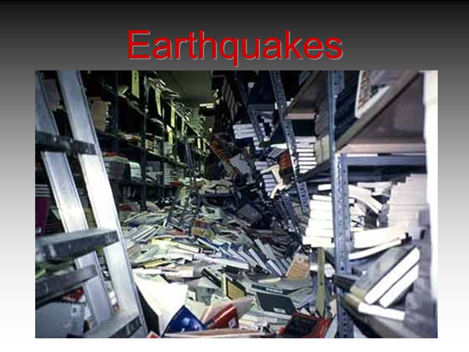
Earthquakes

47
Earthquakes are a result of motion within the earth. This only occurs where the earth is solid and therefore can only occur within about 100 miles of the surface Earthquakes provide the best evidence regarding the interior structure of the Earth.

48
Elastic Rebound As hard as they seem, rocks act in much the same way when forces push or pull on them. With enough force that is applied, rocks become strained, which means they change shape. They sometimes even break. The snapping back is called elastic rebound. These vibrations due to such breaking, can move through rock or other earth material. If the vibrations are large enough, they are felt as earthquakes.

49
3 Types of Earthquakes 1.When rocks are sheared, a strike- slip fault may form. 2.When rocks are pulled apart, a normal fault may form. 3.When rocks are compressed, a reverse fault may form.

50
Earthquakes

53
Words You Need to Know.. Fault- a surface break due to elastic rebound. Seismic wave- potential energy that has built up in rock that is moved outward from the starting location at the fault. Focus- point inside earth where seismic waves first occur. Epicenter- the earth’s surface located directly above the earthquake focus

54
Earthquakes

55
Seismic Waves P-waves: are primary waves from the seismic waves that travel the fastest through rock material by vibration in the same direction as the waves are moving. S-waves: are secondary waves that vibrate in right angles to the direction in which the waves are moving.

56
Earthquakes

58
Earthquakes by depth. Notice that the deep earthquakes occur only at subduction zones.

59
Earthquakes Tidal waves or Tsunamis result when a large section of the sea floor suddenly moves and therefore displaces a massive amount of water.

60
Earthquakes

61
Tidal waves or Tsunamis result when the low amplitude long wavelength waves reach the shallow shoreline and begin to feel the bottom of the sea floor. This Shortens the wavelength and increase the amplitude (height).
..")
62
Earthquakes Location of worldwide earthquakes

63
Location of Volcanoes Blue – trench (convergent) Yellow – ridge (divergent) Red - volcanoes
 Yellow – ridge (divergent) Red - volcanoes")
64
Volcanoes Volcanoes are the result of hot spots within the crust or mantle of the earth. The hot, liquid rock will break through weak spots in the surface and form volcanoes or flood basalts. Many volcanoes do not release lava, instead they spit ash and small bits of lava called lapilli. Some eruptions are quiet with very fluid (low viscosity) lava flows while others are explosive
 lava flows while others are explosive.")
65
Volcanoes Quiet lava flows

66
Volcanoes Mt. St. Helen before the explosive eruption

67
Volcanoes

68
Time lapse of the eruption

69
Volcanoes Mt. St. Helen after the eruption

70
Volcanoes Present Day Volcanoes

71
Volcanoes

73
Shield

74
Flood basalts

75
Volcanoes

76
Flood basalts Basalt is a type of rock that is produced from the mantle Basalt is a type of rock that is produced from the mantle

77
Volcano locations

78
Mid-Plate Hotspots

82
The Big Picture

Similar presentations