Download presentation
Presentation is loading. Please wait.

1
CIAT ACCESSIBILITY AML TOOL TUTORIAL Leonardo Sotomayor September, 2007

2
Before You Start You Will Need: Seven GRIDs named exactly the following manner and in the same directory as the AML: –City1000 – Grid of cities over 1000 people –Frontera – Grid of national boundaries (1km/hr) –Glcsur – Grid of GLC2000 (landcover map) –Sa1km_dem – Grid of 1km resolution DEM –Surmask – Grid of analysis area mask –Surnet – Grid of road and navigable river network in km/hr –Surnight – Grid of lights at night
 –Glcsur – Grid of GLC2000 (landcover map) –Sa1km_dem – Grid of 1km resolution DEM –Surmask – Grid of analysis area mask –Surnet – Grid of road and navigable river network in km/hr –Surnight – Grid of lights at night")
3
Before You Start You Will Need: Four lookup tables (txt files) that hold the variables in the AML, they must be named the same as below and in the same directory as the AML: –altitude.txt – variables of the elevation classes in meters –landreclass.txt – variables of the landcover classes in km/hr –slmap.txt – variables of the slope in percent –time.txt – variables that convert velocities to time to cross the cell
 that hold the variables in the AML, they must be named the same as below and in the same directory as the AML: –altitude.txt – variables of the elevation classes in meters –landreclass.txt – variables of the landcover classes in km/hr –slmap.txt – variables of the slope in percent –time.txt – variables that convert velocities to time to cross the cell")
4
Start ArcINFO Workstation

5
How to Use this Tutorial To use this Tutorial, follow the following 3 major steps. Each step has a series of sections that need to be filled by the user, see below for details: Arc program and AML prompt (in black) Sections filled by user (in blue) Descriptions of sections filled by user (in red) Arc: w c:/threat (CHANGE WORKSPACE TO WHERE ANALYSIS WILL START)
 Sections filled by user (in blue) Descriptions of sections filled by user (in red) Arc: w c:/threat (CHANGE WORKSPACE TO WHERE ANALYSIS WILL START).")
6
Step 1: Workspace & Input Data Arc: w c:/threat (CHANGE WORKSPACE TO WHERE ANALYSIS WILL START) Arc: grid (CHANGE TOOL TO GRID) Copyright (C) 1982-2006 Environmental Systems Research Institute, Inc. All rights reserved. GRID 9.2 (Sun Sep 17 16:05:34 PDT 2006) Grid: &r accessmodel.aml (START AML TOOL) IF ALL YOUR FILES ARE NAMED CORRECTLY, THE MODEL WILL START RIGHT AWAY, NO NEED TO DO ANYTHING ELSE
 Grid: &r accessmodel.aml (START AML TOOL) IF ALL YOUR FILES ARE NAMED CORRECTLY, THE MODEL WILL START RIGHT AWAY, NO NEED TO DO ANYTHING ELSE.")
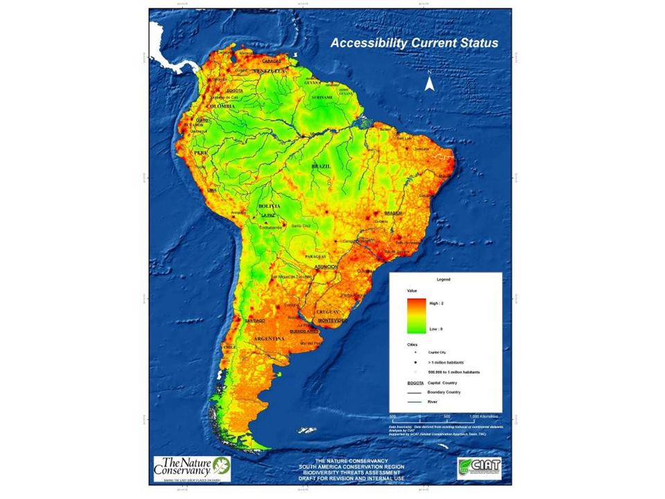
7
RESULTS Final GRID is called “surmodel”

9
MODIFYING THE INPUT DATA You can add new or hypothesized data in the aml to run various scenarios For instance, you can add potential road projects to the surnet grid (by adding potential roads with speed values to existing roads and navigable water vector layer, and recreating the surnet grid) You can add a finer resolution DEM, slope variables, land cover map and/or change any variable
 You can add a finer resolution DEM, slope variables, land cover map and/or change any variable")
Similar presentations


 May 6-11, 2011 (light red) Permanent Water (blue)>")


>")