Download presentation
Presentation is loading. Please wait.

1
Jeff Key NOAA/NESDIS Madison, Wisconsin The Cryospheric Observing System for the IPY and Beyond WDC/NSIDC 30th AnniversaryOctober 25, 2006

2
Global Cryosphere by Type Glacier Ice Sheets Ice Shelves Sea Ice Permafrost Snow Cover

7
Cryosphere satellite missions:

8
National Research Council “Arctic Observing Network” Report Recommendations (Box S.1 excerpts) A system design assessment should be conducted … to ensure a pan- arctic, multidisciplinary, integrated network. This effort should be undertaken by a diverse team. The first phase of AON development will require sustaining existing observational capabilities. The AON should support development, testing, and deployment of new sensors and other network-related technology. A data management system initially built on existing data centers and resources must be designed and implemented immediately. This system should be accessible through a single portal that connects data across disciplines. For the AON to realize its potential, long-term, coordinated, international resources and efforts should be dedicated to sustaining observing platforms, providing incentives for contributions to the network, network coordination and integration.

9
Committee on Earth Observation Satellites (CEOS), 44 space agencies and Earth observation data users Integrated Global Observing Strategy-Partnership (IGOS-P), 13 international and UN organizations Group on Earth Observations (GEO) and the Global Earth Observing System of Systems (GEOSS) Earth Observation Coordination Mechanisms
, 44 space agencies and Earth observation data users Integrated Global Observing Strategy-Partnership (IGOS-P), 13 international and UN organizations Group on Earth Observations (GEO) and the Global Earth Observing System of Systems (GEOSS) Earth Observation Coordination Mechanisms")
10
IGOS The Integrated Global Observing Strategy (IGOS) Partnership was established in June 1998. The principal objectives of IGOS are to address how well user requirements are being met by existing observations, including those of the global observing systems, and how they could be met in the future through better integration and optimization of remote sensing (especially space-based) and in-situ systems. To aid the development of the Strategy,the Partners have adopted an incremental "Themes" approach based on perceived priorities. The partners are: the Global Observing Systems (GCOS, GOOS, GTOS), the agencies that sponsor the global observing systems (WMO, ICSU, FAO, UNESCO, UNEP), the Committee on Earth Observation Satellites (CEOS), the International Group of Funding Agencies for Global Change Research, the World Climate Research Programme, the International Geosphere-Biosphere Programme. IOC GTOS UNEP UNESCO GOOS FAO ICSU WMO IGBP WCRP GCOS IGFA CEOS WHO
 and in-situ systems. To aid the development of the Strategy,the Partners have adopted an incremental Themes approach based on perceived priorities. The partners are: the Global Observing Systems (GCOS, GOOS, GTOS), the agencies that sponsor the global observing systems (WMO, ICSU, FAO, UNESCO, UNEP), the Committee on Earth Observation Satellites (CEOS), the International Group of Funding Agencies for Global Change Research, the World Climate Research Programme, the International Geosphere-Biosphere Programme. IOC GTOS UNEP UNESCO GOOS FAO ICSU WMO IGBP WCRP GCOS IGFA CEOS WHO.")
11
WATEROCEANSCARBONAtm. Chem.COASTAL GEOHAZARDS LAND COVERCRYOSPHERE UNDER DEVELOPMENT APPROVED GEODESY CONSIDERED HEALTH IGOS Themes

12
Cryosphere Theme Goals To create a framework for improved coordination of cryospheric observations conducted by research, long-term scientific monitoring, and operational programmes; To achieve better availability and accessibility of data and information needed for both operational services and research; To strengthen national and international institutional structures responsible for cryospheric observations; To increase resources for ensuring the transition of research-based cryosphere observing projects to sustained observations.

13
Vision: The Ideal Global Observing System Will have the following characteristics: 1. Accuracy: In order to measure subtle changes over time, measurements must be accurate, and the uncertainty in the measurements must be known. 2. Long-term monitoring: To be able to observe changes in the cryosphere, we must have long time series of observations, on the order of a few decades or more. 3. Consistency over time: With any long-term measurement, sensors will be replaced and upgraded. This can introduce inconsistencies in the time series. Inter-sensor calibration is essential. Will use observations from all relevant sources in coherent, consistent, high-resolution global analyses. Multi-sensor fusion and integration with models will be critical for many high-level products.

14
Requirements The first step in designing the global observing system is to define observational requirements. Requirements depend on the application!

15
Parameter CTOCTO Measurement Range Measurement Accuracy Resolution Comment / Principal Driver SpatialTemporal LHUVUVUVU Snow Cover C20100%15-20%1kmdaye.g. MODIS T0100%10%0.5km1day Hydromet O0100%5%0.1km12hr Snow Water Equivalent (Shallow) C00.2m2-10cm25km1day e.g. AMSR-E T00.3m3cm0.5km6day Hydromet O00.3m2cm0.1km12hr Snow Water Equivalent (Deep) CNone--- Need HF SAR T0.33m10%0.5km6day Hydromet O0.33m7%0.1km12hr Snow Depth (Shallow) C0~0.7m6-35cm25km1daye.g. AMSR-E T01m10cm0.5km6dayHydromet O01m6cm0.1km1hrTransportation Snow Depth (Mod- Deep) CNone--- Need HF SAR T110m %0.5km6dayHydromet O110m6%0.1km1hrTransportatio n Snow Albedo (Broadband) C30100%7%1km1day e.g. MODIS T0100%1%8km1hr Hydromet O0100%0.5%5km30min Snow Surface Temperature CTBD T200275K1K1km1hr Hydromet O200275K0.1K km30min
 C00.2m2-10cm25km1day e.g. AMSR-E T00.3m3cm0.5km6day Hydromet O00.3m2cm0.1km12hr Snow Water Equivalent (Deep) CNone--- Need HF SAR T0.33m10%0.5km6day Hydromet O0.33m7%0.1km12hr Snow Depth (Shallow) C0~0.7m6-35cm25km1daye.g. AMSR-E T01m10cm0.5km6dayHydromet O01m6cm0.1km1hrTransportation Snow Depth (Mod- Deep) CNone--- Need HF SAR T110m %0.5km6dayHydromet O110m6%0.1km1hrTransportatio n Snow Albedo (Broadband) C30100%7%1km1day e.g. MODIS T0100%1%8km1hr Hydromet O0100%0.5%5km30min Snow Surface Temperature CTBD T200275K1K1km1hr Hydromet O200275K0.1K km30min.")
16
Next we compare examine the current and planned sensors/systems/networks (satellite sensors in this example) to determine what we need.
 to determine what we need.")
17
Then we make recommendations. Here’s a sample: Implement a C-band synthetic aperture radar optimized for SAR interferometry and capable of measuring the velocity field of the Greenland and Antarctic Ice Sheets. The density of ice sheet thickness measurements should be increased, particularly in East Antarctica where little data are currently available. There needs to be an international network for monitoring seasonally frozen ground in non-permafrost regions. Soil temperature and frost depth measurements should be standard parameters to all WMO and national cold regions meteorological stations. Freeze-up and break-up data should be submitted to the World Data Center for Glaciology at the National Snow and Ice Data Center (NSIDC), to accompany existing historical records archived there. Data fusion and data assimilation with sea ice and coupled models will allow the various remotely-sensed and in situ data – at various spatial and temporal scales – to be integrated into coherent fields that will provide the best overall estimate of ice conditions.
, to accompany existing historical records archived there. Data fusion and data assimilation with sea ice and coupled models will allow the various remotely-sensed and in situ data – at various spatial and temporal scales – to be integrated into coherent fields that will provide the best overall estimate of ice conditions..")
18
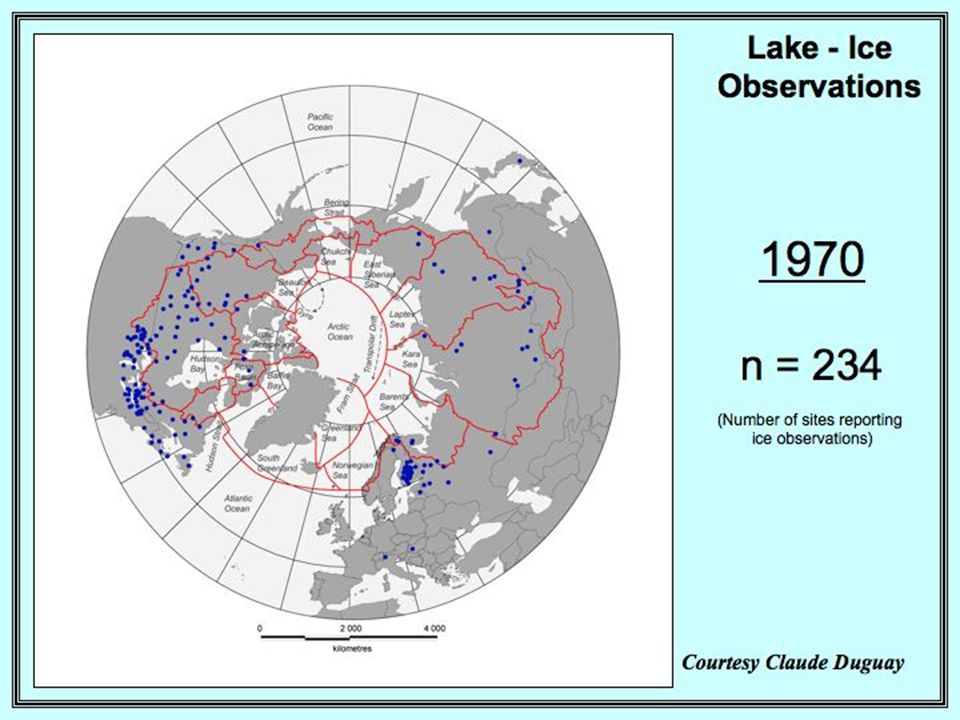
So does the ideal observing system look like this?

19
Or this?

21
Actually, it looks like this: Building BlocksIntegrated System Space observing system Global, consistent measurements. Inter-satellite calibration is critical. In-situ observing system Local but accurate measurements. Integrated modeling system Captures physical principles. Laboratory (test ideas / processes). Create higher-level products. Predict future state of Earth system. Data Assimilation system Merge observation and model. Synthesize observations (analysis). Take data and model errors into account. Decision Support
. Create higher-level products. Predict future state of Earth system. Data Assimilation system Merge observation and model. Synthesize observations (analysis). Take data and model errors into account. Decision Support.")
22
Or this (GEOSS):
:")
23
Vision: The Ideal Data Management System (GEO and more) Will provide access to all Earth observation data in standard interoperable formats. Will be based on existing portals, systems, and networks; it will be distributed. Will be designed to increase the quality and accessibility of information. Will provide tools for subsetting, formatting, and combining diverse data sets, including model fields, as well as visualizing data from multiple sources.

24
http://www.eol.ucar.edu/ projects/ceop/dm/ INTEGRATED IN-SITU SATELLITE MODEL EOL work supported by NOAA/CPO

25
Summary The IGOS Cryosphere theme is an international effort to assess current capabilities and requirements in the cryospheric observing system, and to recommend ways to close the gaps. The ideal cryospheric observing system will meet the accuracy requirements of a broad range of applications, be long-term monitoring, and be consistent. It will use observations from all relevant sources in global analyses. Multi-sensor fusion and integration with models will be critical. The ideal data management system will provide access to data in standard formats, be based on existing portals and systems, be designed to increase the quality of information, and provide tools for manipulating and combining diverse data sets, including model fields, as well as visualizing data from multiple sources. For more information visit http://stratus.ssec.wisc.edu/igos-cryo

Similar presentations


 Peter Lemke (on.>")


 10 min GIIPSY Overview and Meeting Objectives.>")


 GCW Interim Advisory Group meeting Reykjavik,>")


