Download presentation
Presentation is loading. Please wait.

1
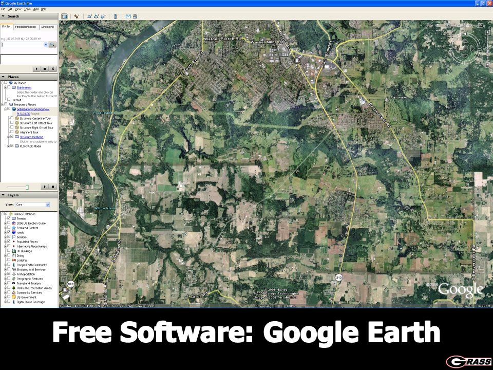
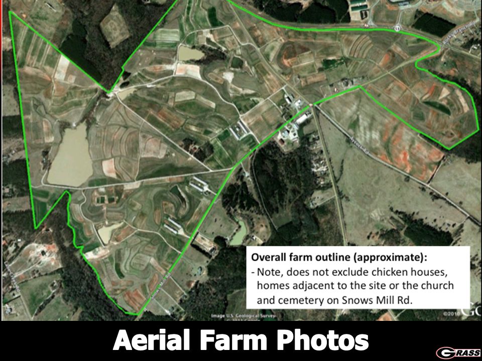
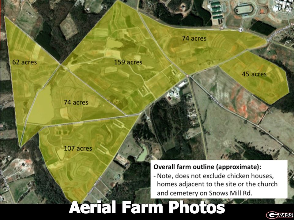
Paddock Planning on the Web: Aerial Farm Photos and Soils Data Dennis Hancock Extension Forage Specialist UGA – Dept. of Crop and Soil Sciences Dennis Hancock Extension Forage Specialist UGA – Dept. of Crop and Soil Sciences 2011 Grazing School

6
Soil Type and Paddock Mapping USDA – NRCS’s Web Soil Survey http://websoilsurvey.nrcs.usda.gov/app/ USDA – NRCS’s Web Soil Survey http://websoilsurvey.nrcs.usda.gov/app/

7
Topo Maps and Soils Maps in Google Earth To add a topo layer, download the USGS Topo Map Layer and open it with Google Earth. http://www.gearthblog.com/kmfiles/topomaps.kmz http://www.gearthblog.com/kmfiles/topomaps.kmz After the layer is installed you can zoom into an area see topo maps of that region. To add a soils map layer, download the SoilWeb’s Google Earth Interface and open it with Google Earth. http://casoilresource.lawr.ucdavis.edu/soil_web/kml/ SoilWeb.kmz http://casoilresource.lawr.ucdavis.edu/soil_web/kml/ SoilWeb.kmz Other such tools from SoilWeb: http://casoilresource.lawr.ucdavis.edu/drupal/ http://casoilresource.lawr.ucdavis.edu/drupal/ To add a topo layer, download the USGS Topo Map Layer and open it with Google Earth. http://www.gearthblog.com/kmfiles/topomaps.kmz http://www.gearthblog.com/kmfiles/topomaps.kmz After the layer is installed you can zoom into an area see topo maps of that region. To add a soils map layer, download the SoilWeb’s Google Earth Interface and open it with Google Earth. http://casoilresource.lawr.ucdavis.edu/soil_web/kml/ SoilWeb.kmz http://casoilresource.lawr.ucdavis.edu/soil_web/kml/ SoilWeb.kmz Other such tools from SoilWeb: http://casoilresource.lawr.ucdavis.edu/drupal/ http://casoilresource.lawr.ucdavis.edu/drupal/

8
Soil Assessment in the Field http://itunes.apple.com/us/app/soilweb-for-the-iphone/id354911787?mt=8

Similar presentations


 North Carolina State University Libraries North Carolina Center for Geographic Information.>")


