Download presentation
Presentation is loading. Please wait.

2
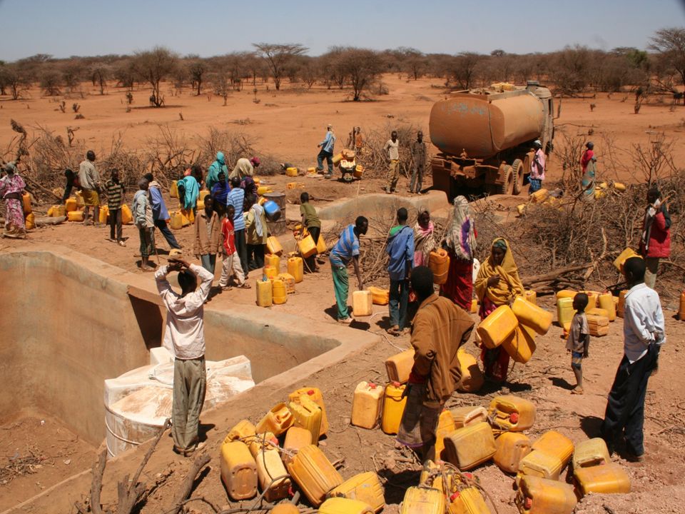
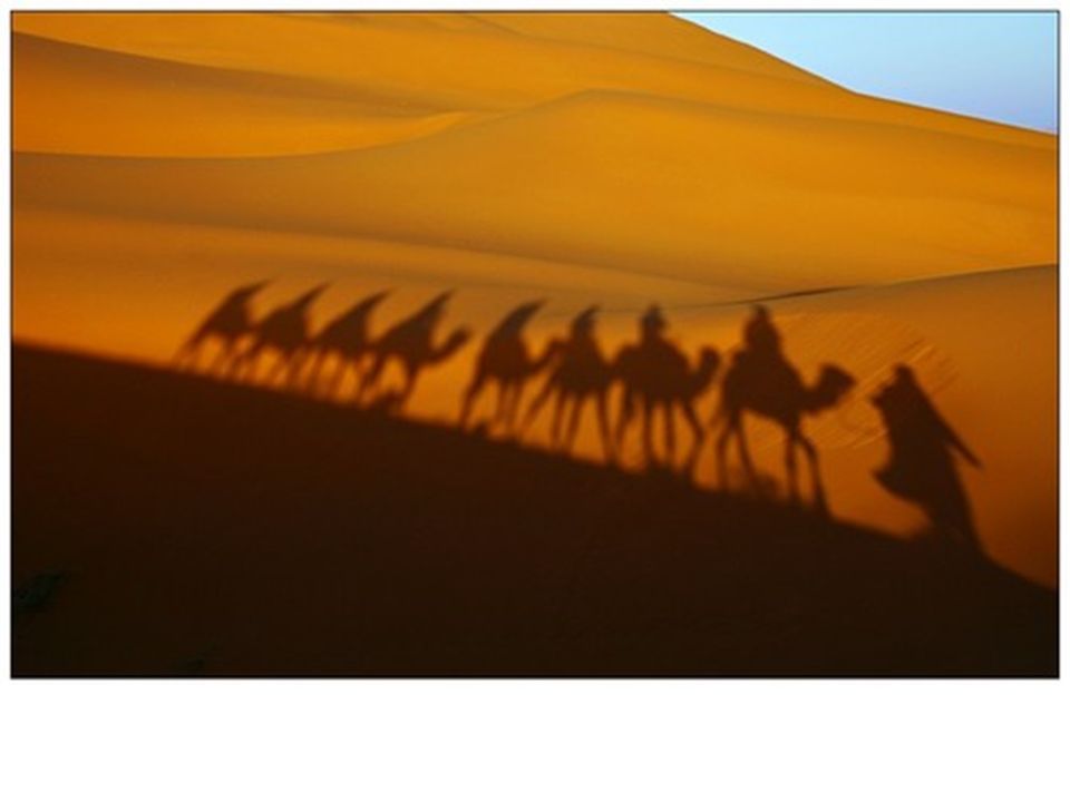
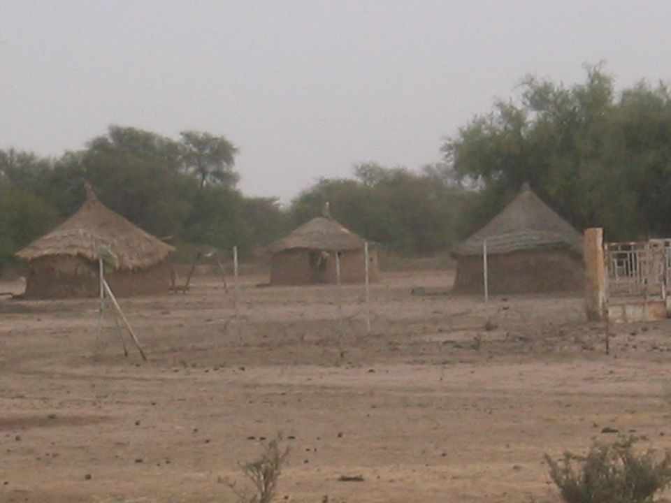
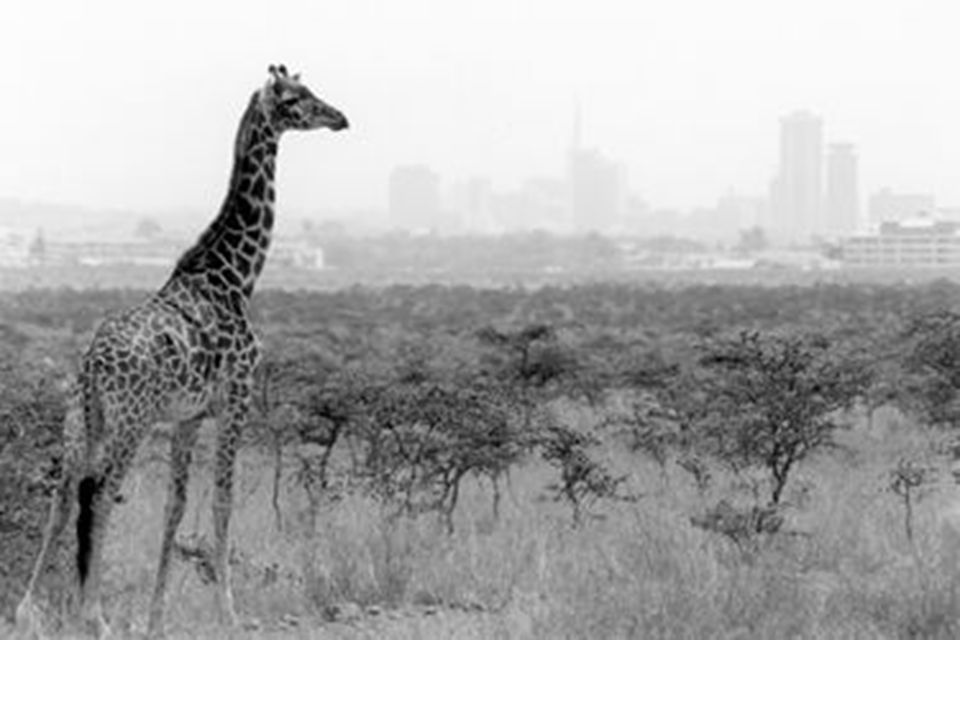
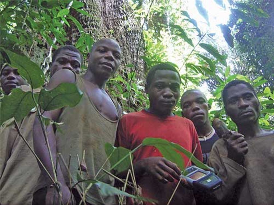
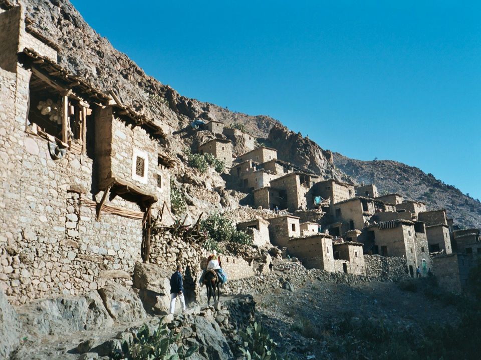
What does this picture tell us about the people of Africa?

3
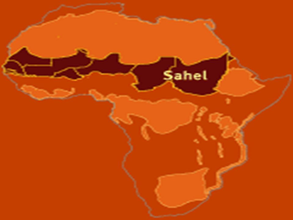
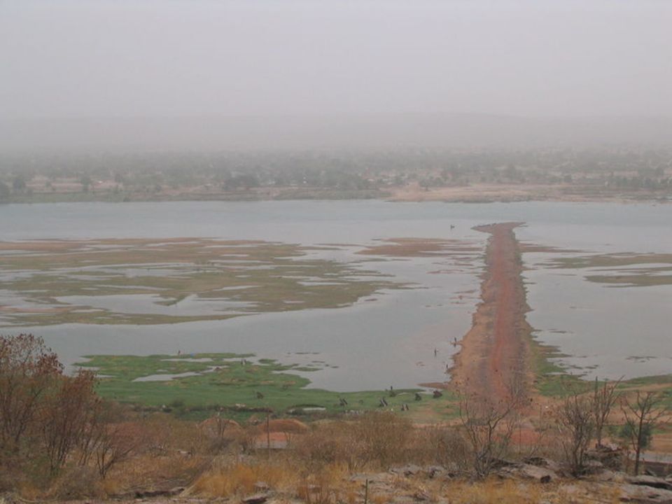
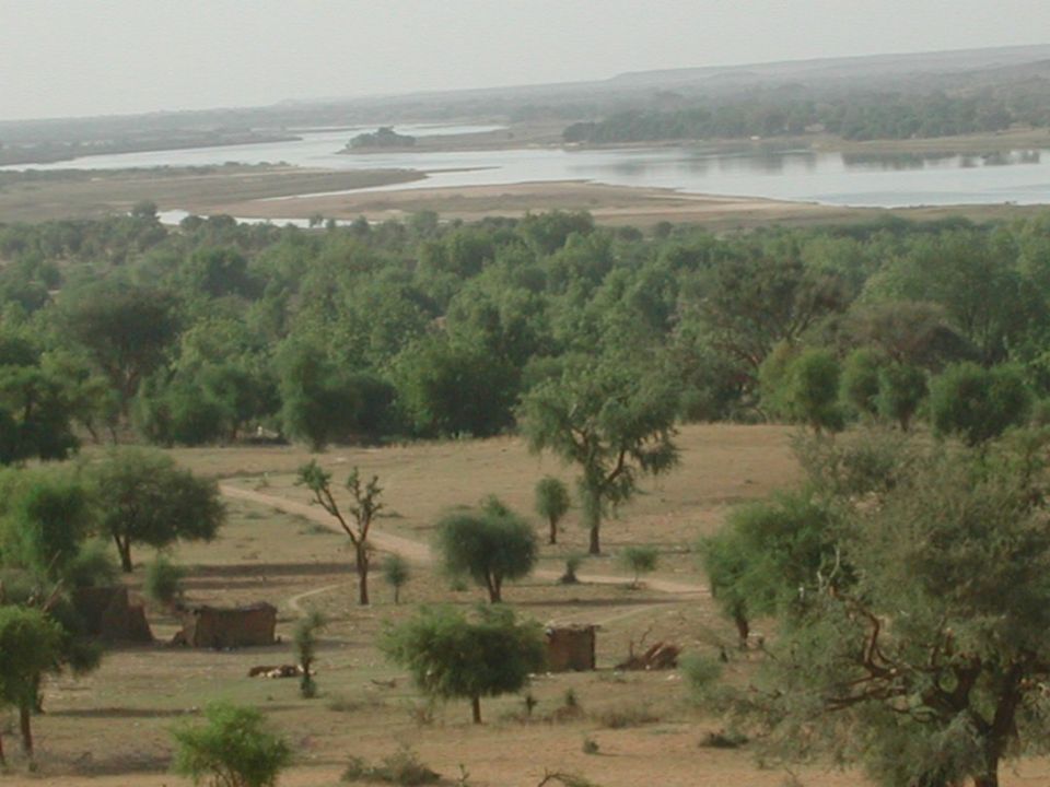
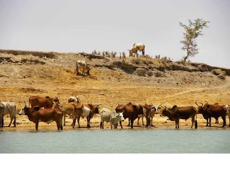
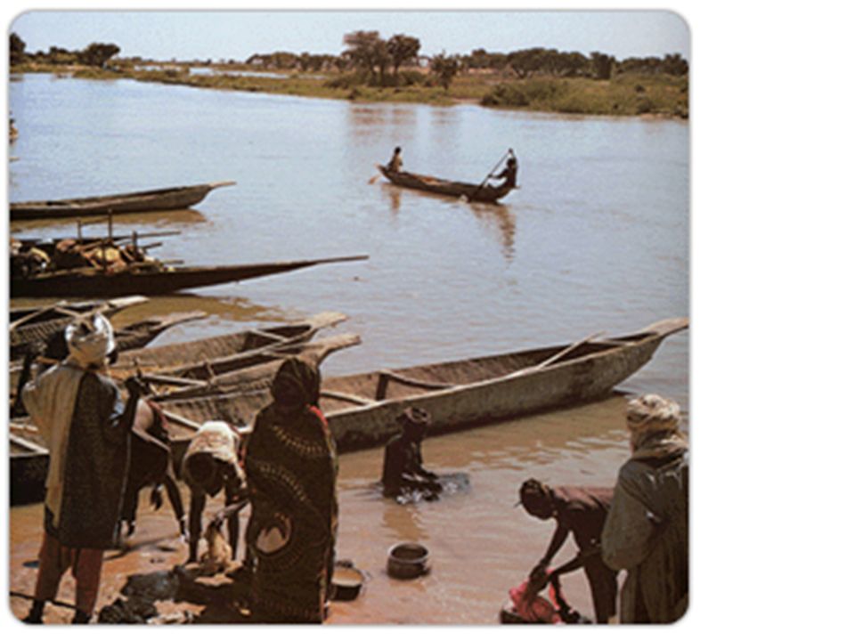
The size of the Sahel changes from year to year depending on rainfall.

5
LOCATE THE DESERT REGIONS ON YOUR MAP AND SHADE IT!
DESERT-ARID DESERT-ARID DESERT-ARID

6
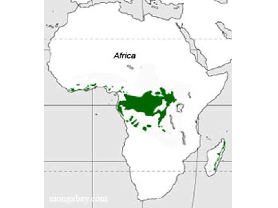
LOCATE THE RAIN FOREST REGION ON THE MAP AND SHADE IT.
DESERT-ARID TROPICAL RAIN FOREST DESERT-ARID TROPICAL RAIN FOREST TROPICAL RAIN FOREST DESERT-ARID

7
SAHEL-SEMI ARID DESERT
Shade the Sahel- the narrow, semi-arid strip of land below the Sahara DESERT-ARID SAHEL-SEMI ARID DESERT DESERT-ARID TROPICAL RAIN FOREST TROPICAL RAIN FOREST TROPICAL RAIN FOREST DESERT-ARID

8
SAHEL-SEMI ARID DESERT
Now, shade the savannas- the areas between the Sahel and the rain forest. It goes all around the rain forest. DESERT-ARID SAHEL-SEMI ARID DESERT SAVANNAH REGION DESERT-ARID TROPICAL RAIN FOREST SAVANNAH REGION TROPICAL RAIN FOREST SEMI ARID DESERT SAVANNAH REGION SEMI ARID DESERT TROPICAL RAIN FOREST DESERT-ARID

9
According to this map, how do physical features affect where people live?
Number of people per sq. km

10
How does the level of poverty in Africa compare to the US and other parts of the world?
Which part of Africa does not appear to have major poverty?

11
HOW DOES THE GDP/CAPITA OF AFRICAN COUNTRIES COMPARE TO THE USA AND THE REST OF THE WORLD?

12
Why do you think the life expectancy along the Mediterranean would be the higher than the rest of Africa?

13
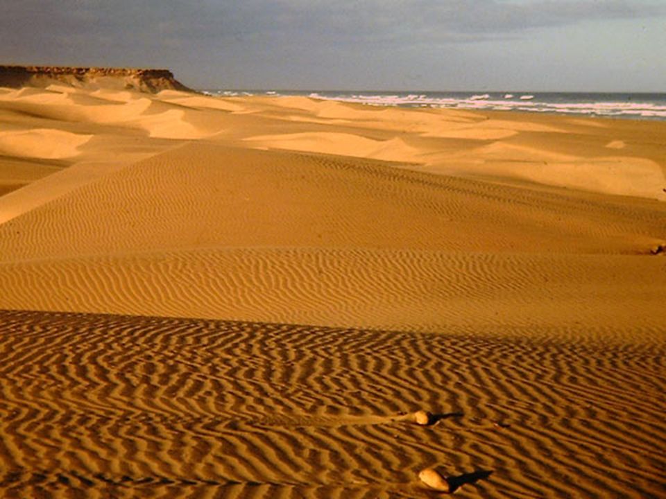
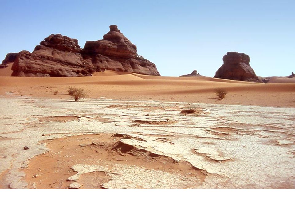
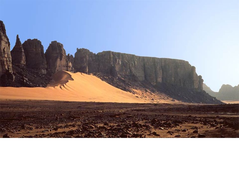
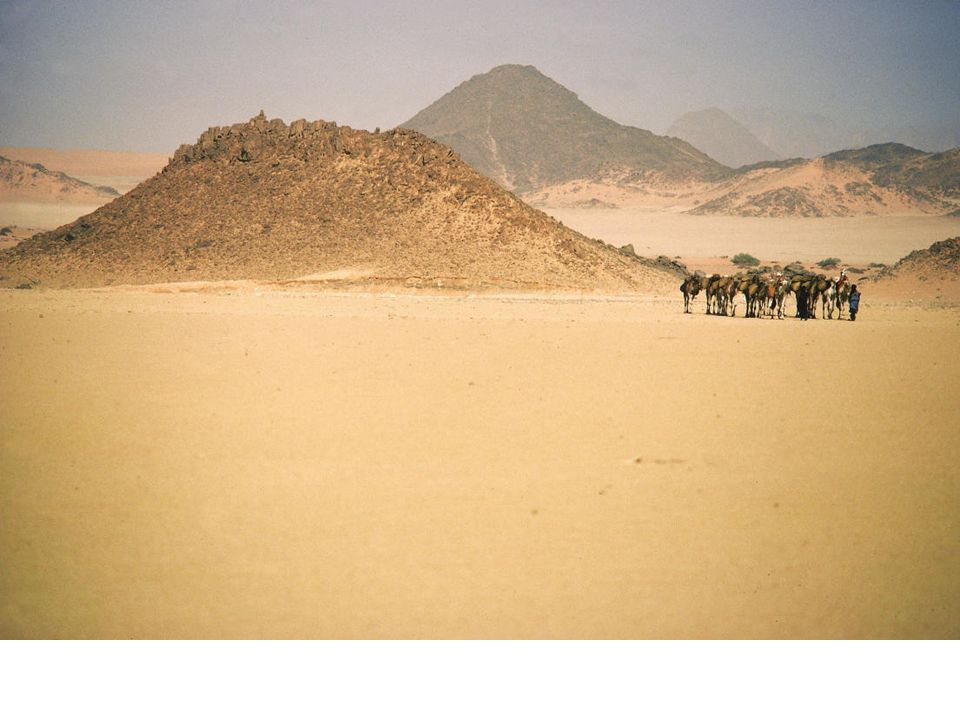
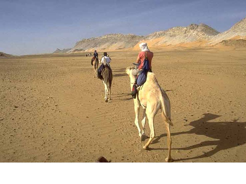
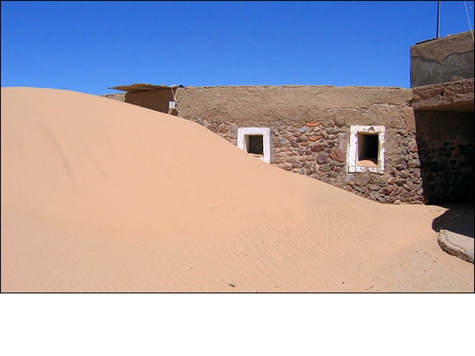
WHAT IS LIFE LIKE IN THE SAHARA?

29
How is it impacting people in Africa?
Desertification What is it? Where is it? What causes it? How is it impacting people in Africa?

30
Desertification What is it? Fertile land becoming desert
Copy this in your notes!!!!! Desertification What is it? Fertile land becoming desert Where is it? It’s a serious problem in the Sahel What causes it? Over farming land, poor farming techniques, deforestation, over grazing animals, drought, erosion How is it impacting people in Africa? Lack of food, famine, lower standard of living, over population when people move to other areas south of Sahel

31
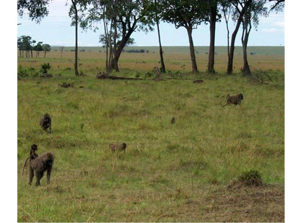
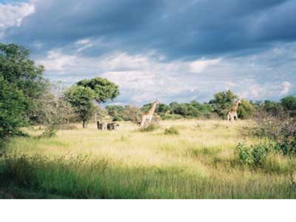
The African Savanna AS WE LOOK AT THE PICTURES, DESCRIBE THE LAND, HOW PEOPLE LIVE, WHAT THEY DO, HOW THEY TRAVEL, ETC.

42
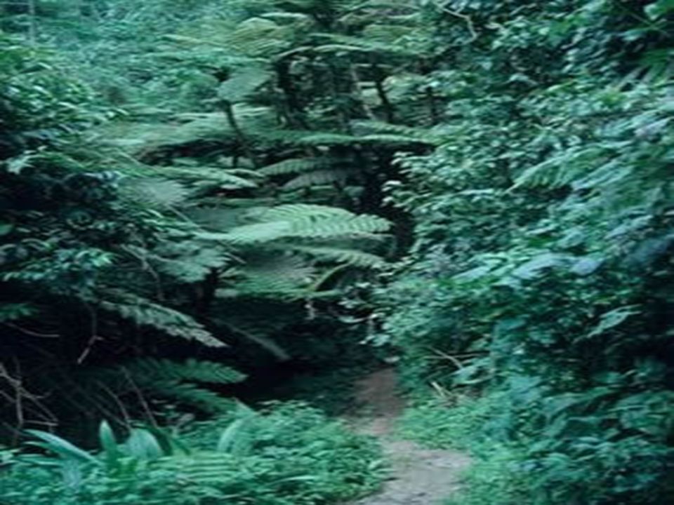
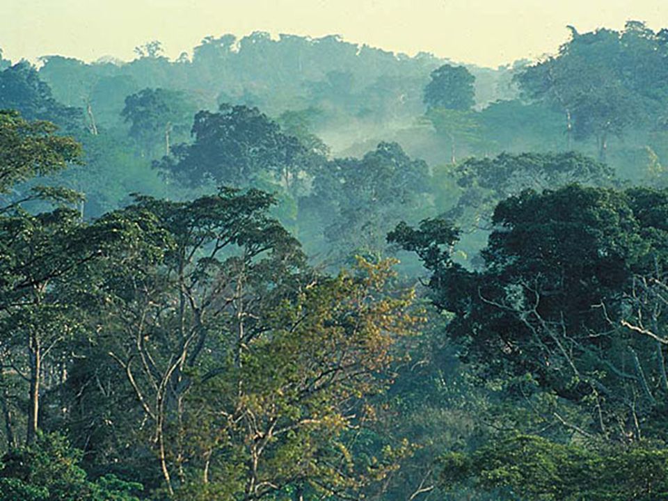
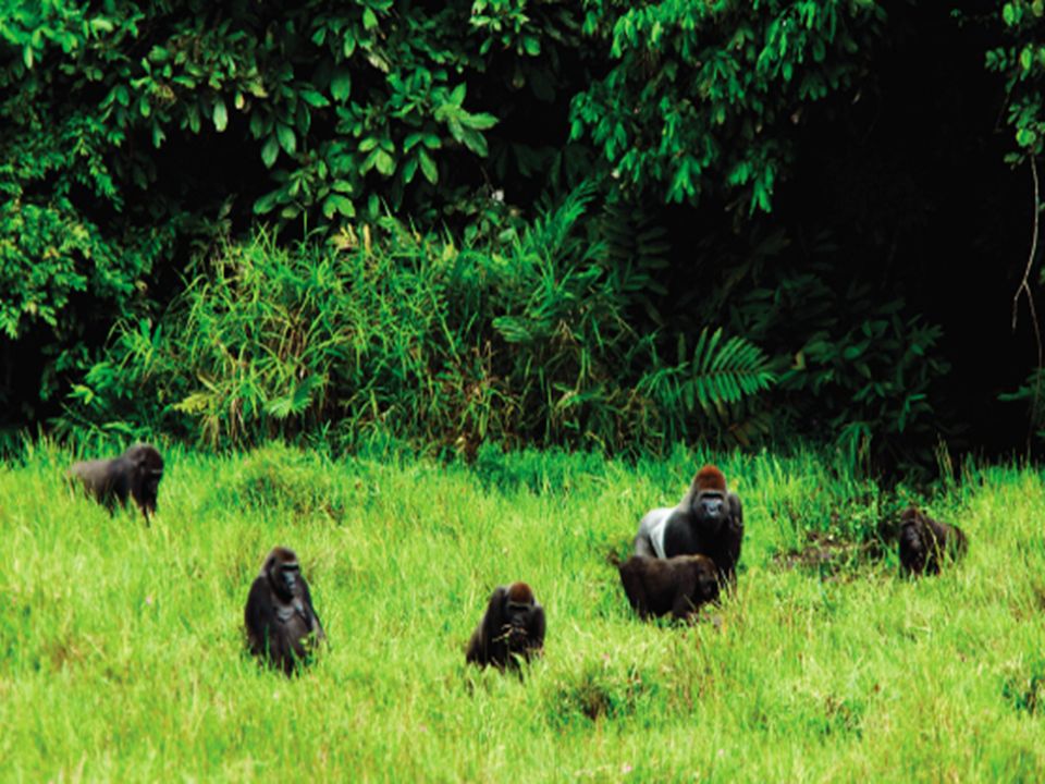
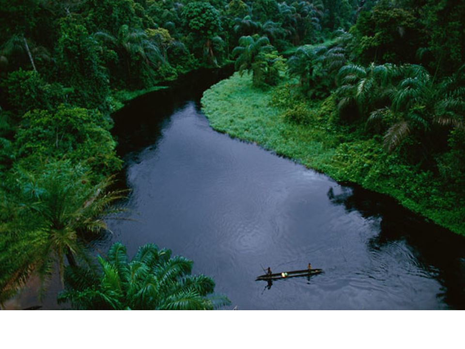
The African Rain Forest
AS WE LOOK AT THE PICTURES, DESCRIBE THE LAND, HOW PEOPLE LIVE, WHAT THEY DO, HOW THEY TRAVEL, ETC.

50
Causes of Deforestation- Copy this into your notes
Fuel- they cut down trees for firewood. Farmland- they cut down trees to clear land for farming and for animals. Logging- bigger companies cut down trees to sell for making other things. Deforestation makes desertification worse because plants hold soil in place (prevent erosion) and provide shade for soil (which makes dry soil more dry)
 and provide shade for soil (which makes dry soil more dry)")
51
Turn the map over….let’s label physical & Political features

52
Sahara

53
Sahara Desert BACK The Sahara Desert, covering most of North Africa, is the largest sand desert in the world. From north to south the Sahara is between and 1,200 miles and is at least 3,000 miles from east to west.

54
Sahara Kalahari

55
Kalahari Desert BACK The Kalahari Desert is located in southwest Africa in the countries of Botswana, South Africa, and Namibia.

57
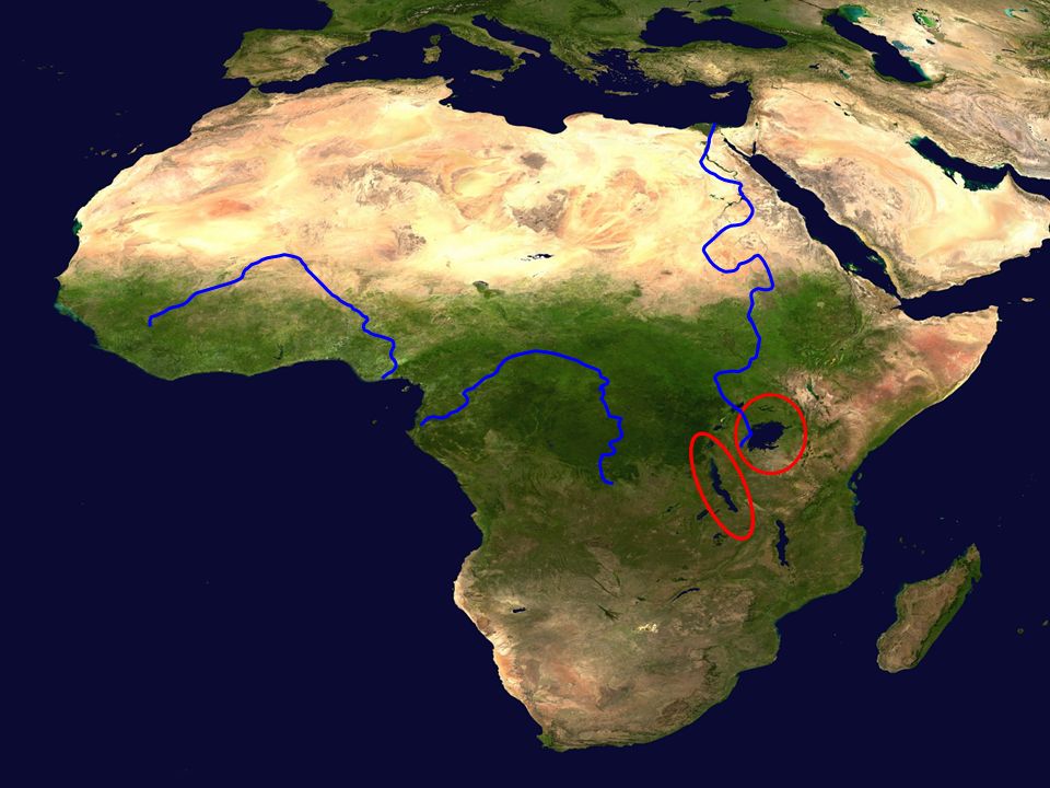
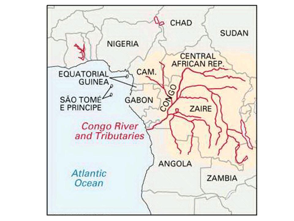
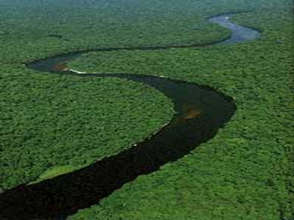
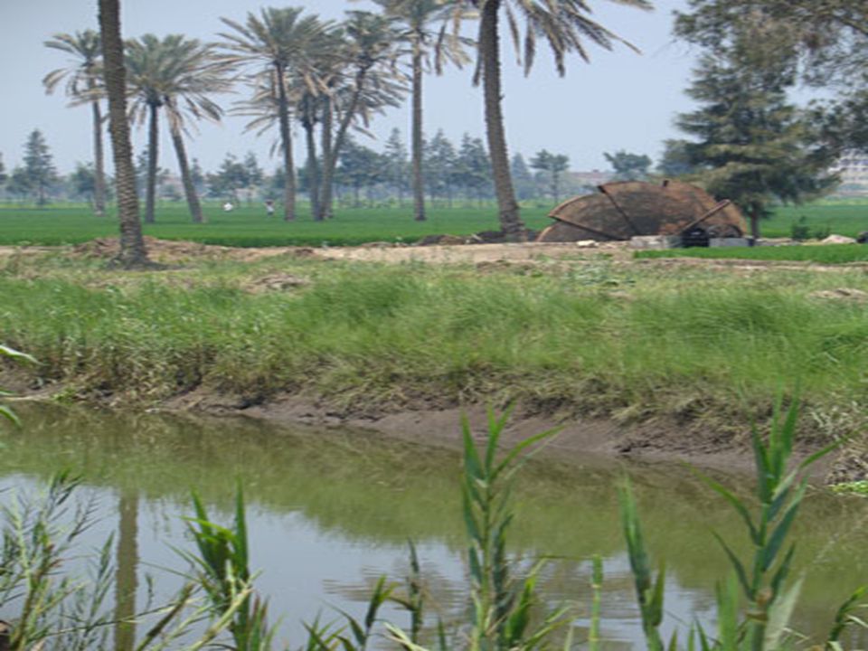
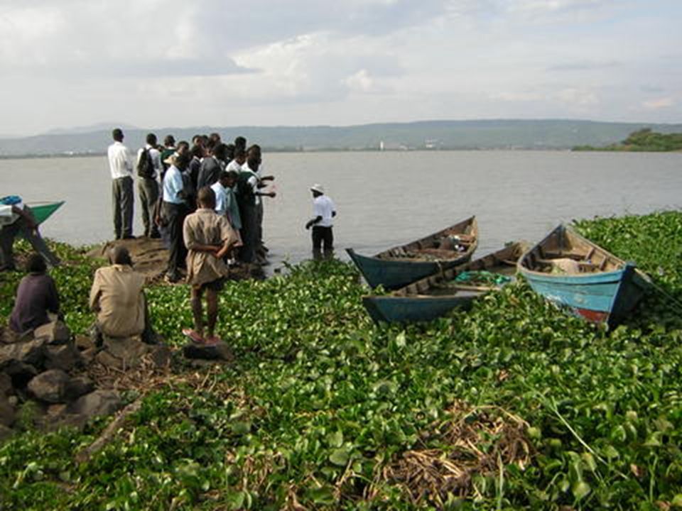
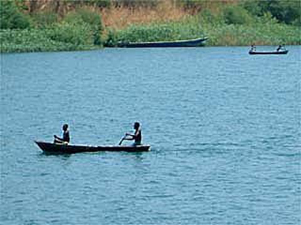
Congo River The Congo River is the second longest river in Africa. Its source is in the eastern part of the Democratic Republic of Congo, and it forms part of the border between the Democratic Republic of Congo and Congo. It flows into the Atlantic Ocean.

61
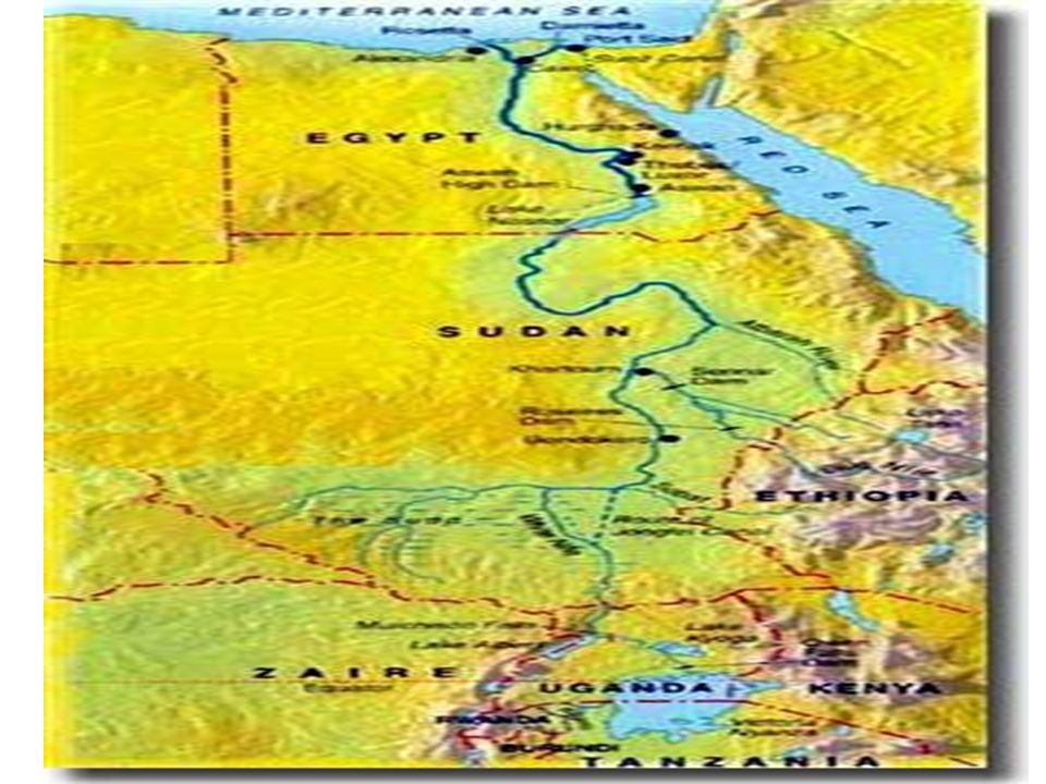
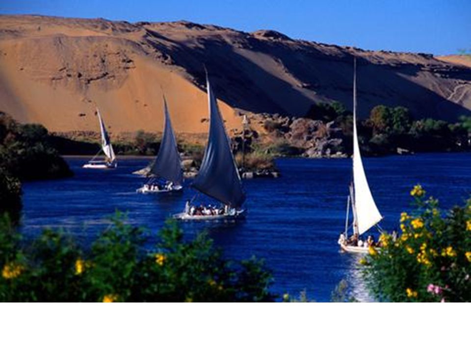
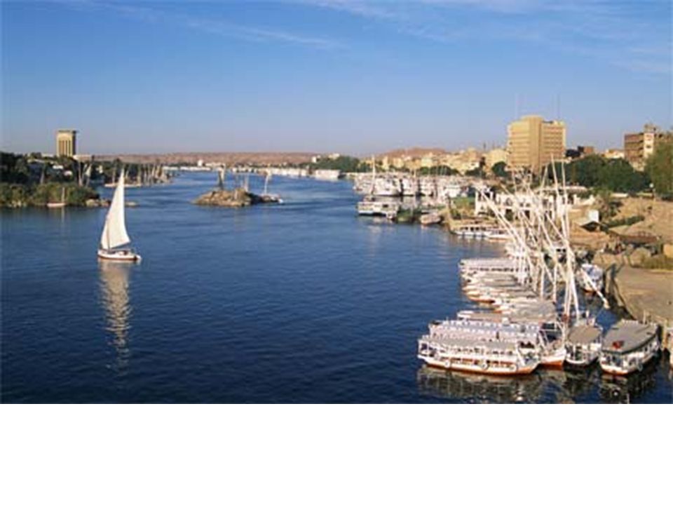
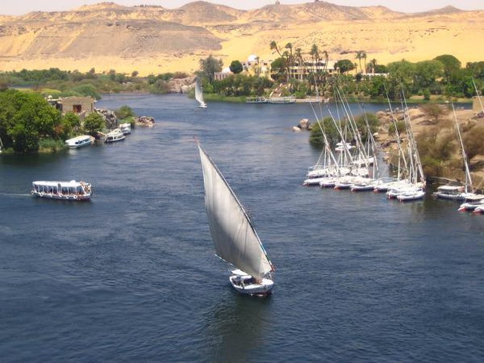
Nile River Take a Tour The Nile River, at almost 4,000 miles, is the longest river in the world. It flows north from Lake Victoria through Uganda, Sudan, and Egypt into the Mediterranean Sea.

68
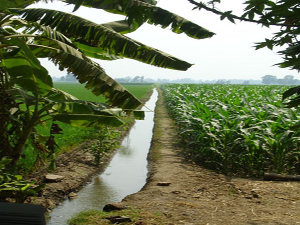
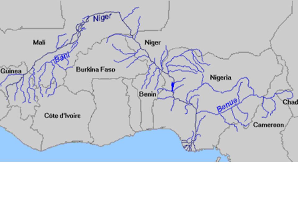
Niger River The Niger River flows through the western part of Africa. Its source is in Guinea, and it flows through Mali, Niger, and Nigeria before emptying into the Gulf of Guinea, which is part of the Atlantic Ocean.

76
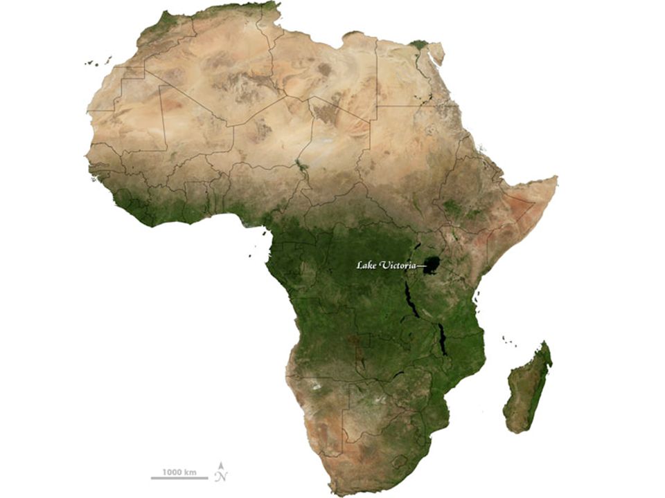
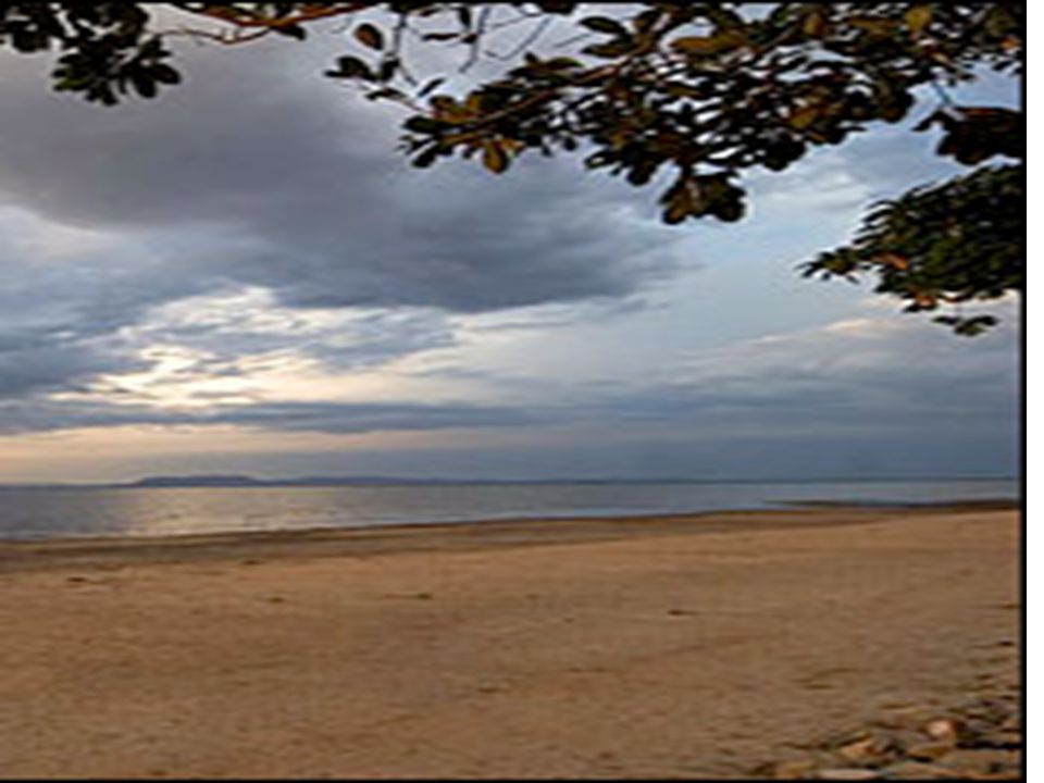
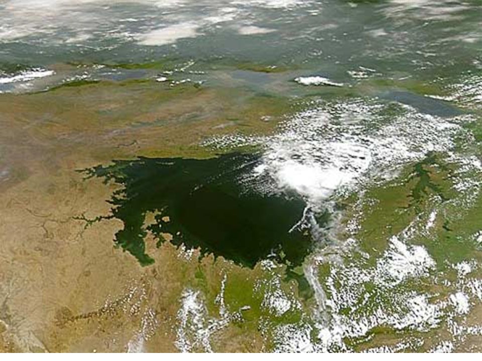
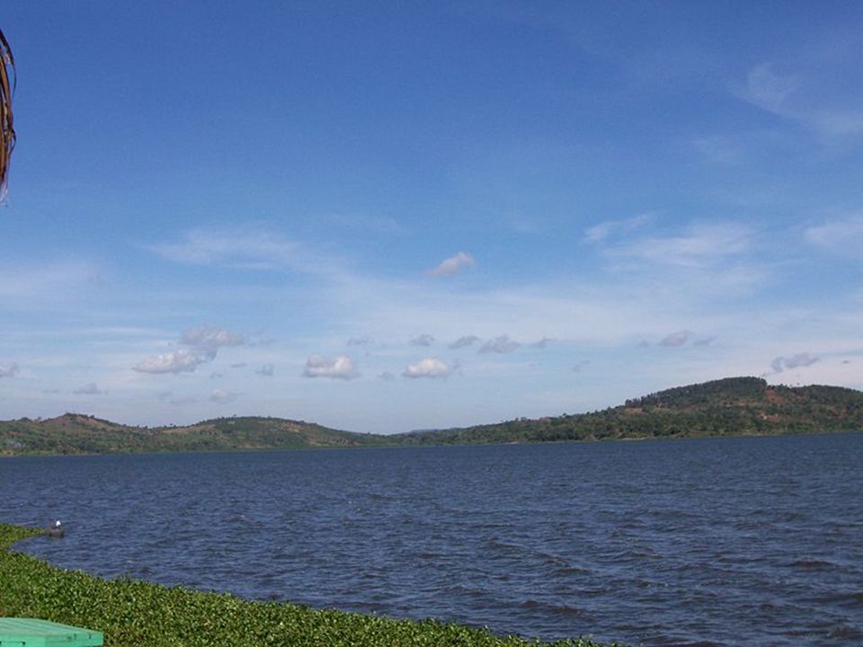
Lake Victoria BACK Located in eastern Africa, Lake Victoria is the largest lake on the continent and the source of the Nile River. Uganda, Tanzania, and Kenya all border this lake.

83
Lake Tanganyika BACK Lake Tanganyika is the longest freshwater lake in the world. It is located between the Democratic Republic of Congo and Tanzania in eastern Africa. Burundi and Zambia also border this lake.

88
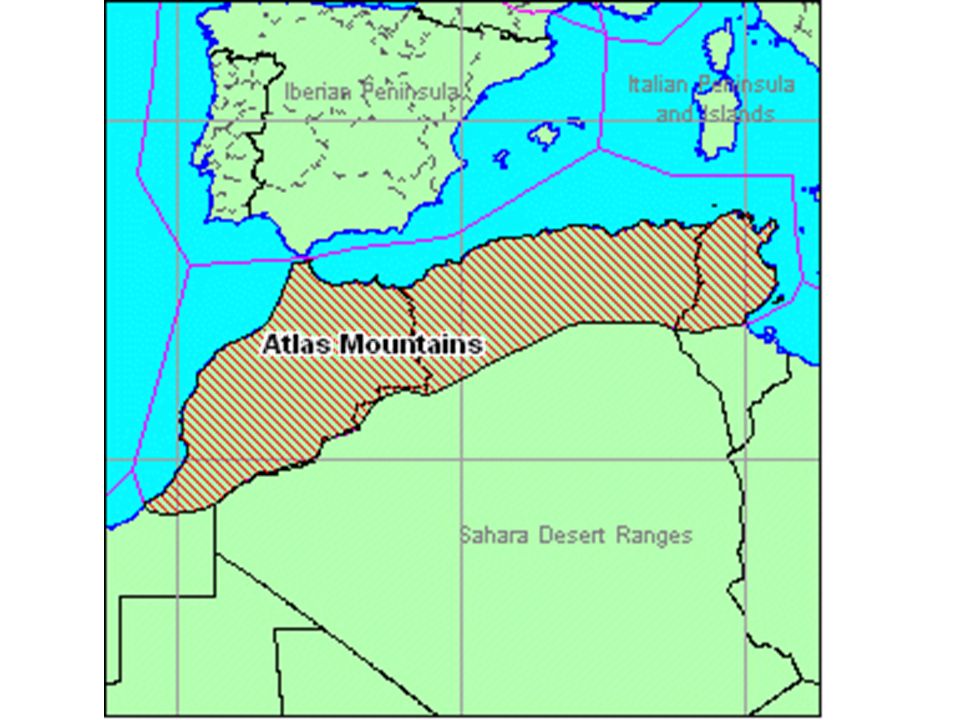
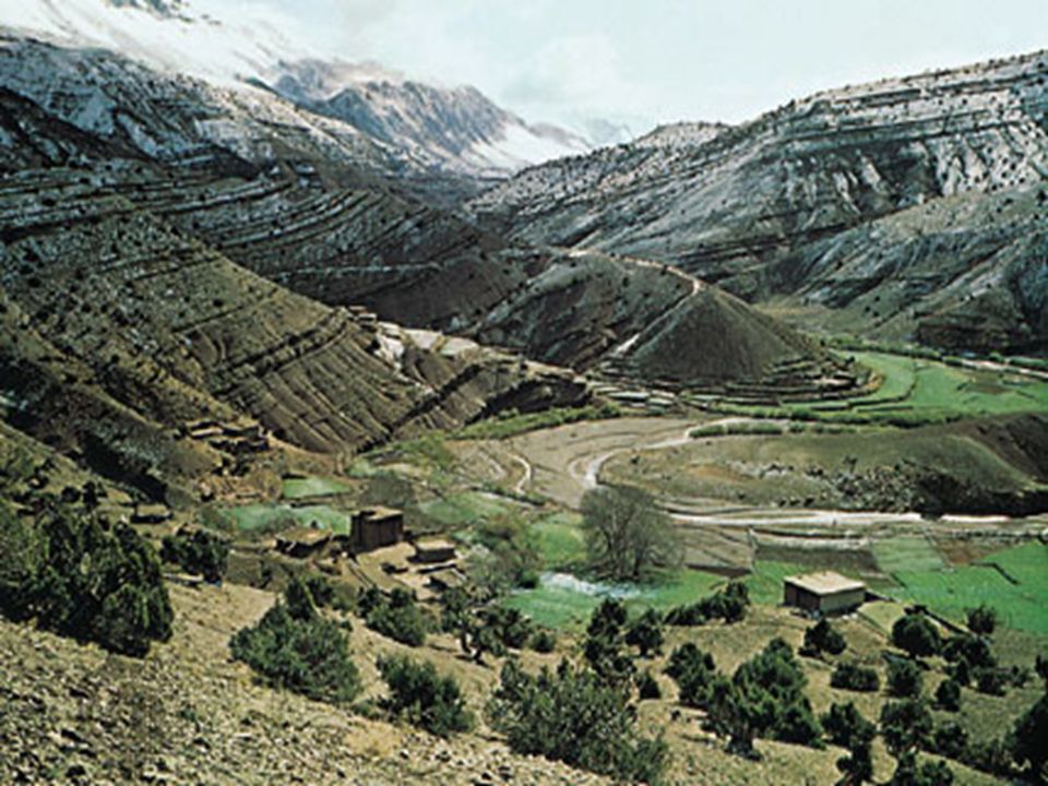
Atlas Mountains Click Here BACK The Atlas Mountains are a mountain range in northwest Africa in the countries of Morocco, Tunisia, and Algeria.

92
DEMOCRATIC REPUBLIC OF CONGO
EGYPT SUDAN SOUTH SUDAN KENYA NIGERIA DEMOCRATIC REPUBLIC OF CONGO SOUTH AFRICA

93
AFRICAN GEOGRAPHY ACROSTIC ILLUSTRATIONS
DIVIDE YOUR PAPER INTO 4 SECTIONS (fold in ½ hamburger and then ½ hot dog) EACH SECTION WILL BE FOR ONE OF THE 4 REGIONS: DESERT, SAHEL, SAVANNA, RAIN FORESTS YOU WILL DRAW & COLOR A PICTURE OF EACH REGION INCLUDING THE CHARACTERISTICS OF CLIMATE, VEGETATION & HUMAN ACTIVITY YOU WILL WRITE AN ACROSTIC POEM USING THE LETTERS OF THE REGIONS AS THE BEGINNING OF EACH LINE AN ACROSTIC DOESN’T RHYME THE LINES SHOULD SHOW CHARACTERISTICS OF THE REGION & ITS EFFECT ON PEOPLE’S LIVES
 EACH SECTION WILL BE FOR ONE OF THE 4 REGIONS: DESERT, SAHEL, SAVANNA, RAIN FORESTS. YOU WILL DRAW & COLOR A PICTURE OF EACH REGION INCLUDING THE CHARACTERISTICS OF CLIMATE, VEGETATION & HUMAN ACTIVITY. YOU WILL WRITE AN ACROSTIC POEM USING THE LETTERS OF THE REGIONS AS THE BEGINNING OF EACH LINE. AN ACROSTIC DOESN’T RHYME. THE LINES SHOULD SHOW CHARACTERISTICS OF THE REGION & ITS EFFECT ON PEOPLE’S LIVES.")
94
Scarce water resources
Abundant sand Hard to live there Arable land is hard to find Rain doesn’t happen often A camel makes travel easier

Similar presentations


>")


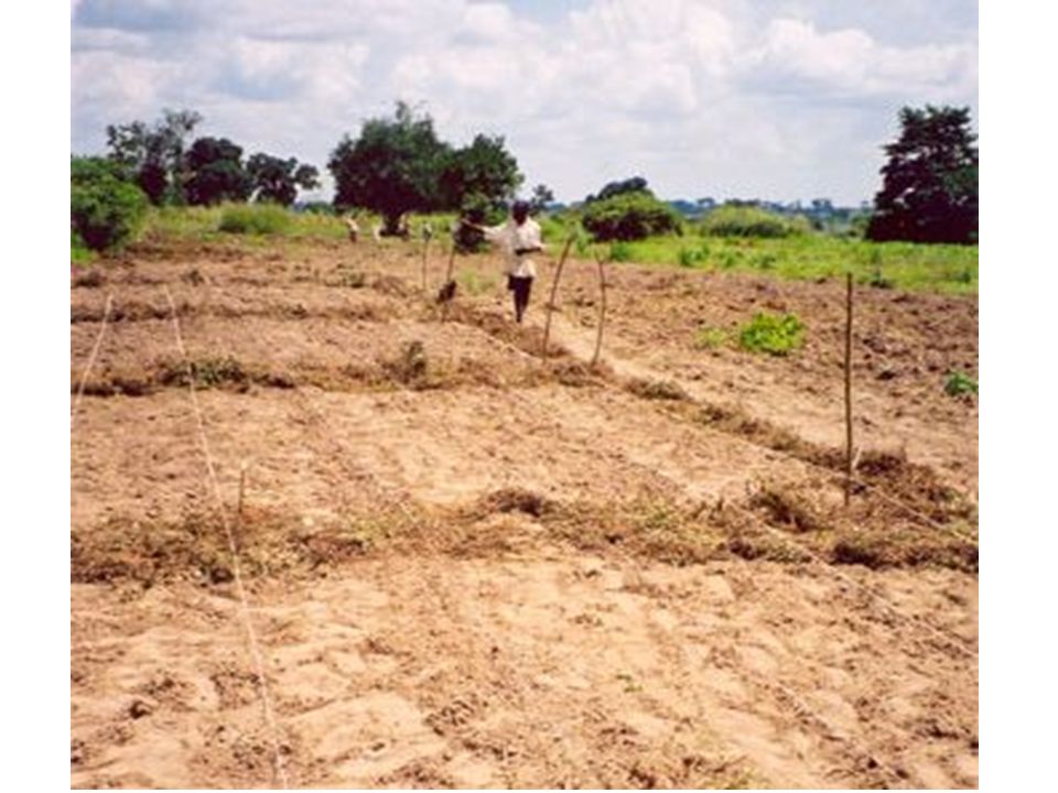
 What might cause people to plant or graze their animals.>")


