Download presentation
Presentation is loading. Please wait.

1
Maps at Varying Resolutions and Scales

2
Wisconsin Level 1

3
Wisconsin Level 2

4
Wisconsin Level 3

5
USA Level 1

6
USA Level 3

7
USA Level 4

8
USA Level 5

9
World Level 5

10
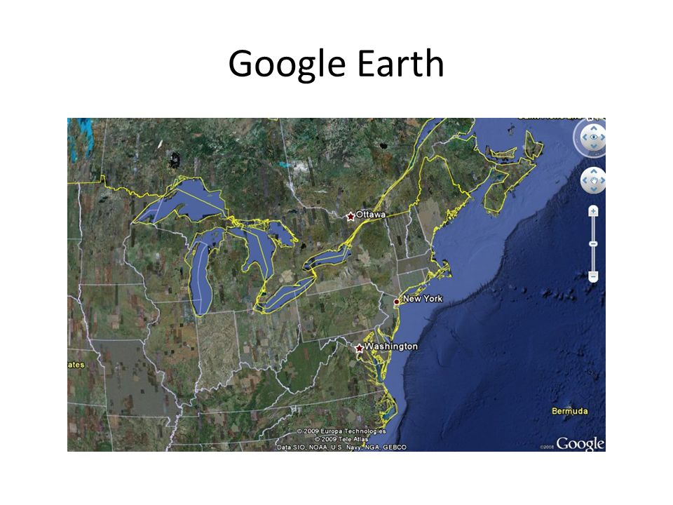
Google Earth

13
USGS 100K DLG

14
National Atlas 2M

15
CIA World Data Bank

16
North American Atlas

17
Comparison

18
Vertices National Atlas 2M

19
Vertices CIA World Data Bank

20
Vertices North American Atlas

21
USGS 100K DLG

22
National Atlas 2M

23
CIA World Data Bank

24
North American Atlas

25
Comparison

26
Map Essentials Direction Indicator (True, Magnetic, Grid) Scale (Miles, Meters, Feet) Legend – Title, Purpose – Explain Symbols – Follow Convention Graticule (Latitude-Longitude, UTM) Index map
 Scale (Miles, Meters, Feet) Legend – Title, Purpose – Explain Symbols – Follow Convention Graticule (Latitude-Longitude, UTM) Index map")
27
Map Design Landscape or Portrait? Legibility – Symbol and text size – Avoid clutter – Color Scheme

28
Good Idea, Bad Design

29
Why It’s a Bad Map Poor Color Scheme – Okay, it’s putrid Does not distinguish between low incidence and no data No information on number or location of data points

30
Worst Map Design of All

Similar presentations


 and a grid system (TRS, UTM, Lat/Lon)>")


