Download presentation
Presentation is loading. Please wait.

1
WHY PEOPLE LIVE WHERE THEY DO? A study in Population

2
WHAT IS POPULATION? How many people live in a certain location. Can you name the 4 most populated US cities? 1.? 2.? 3.? 4.? New York Los Angeles Chicago Houston Ask a Partner, Use a device

3
WHERE DO MOST PEOPLE LIVE? 90% of the world population lives in the Northern Hemisphere In low lands and fertile areas Elbow Partners: Where is a better place to live, mountain or valley? Explain.

4
HOW MANY PEOPLE LIVE ON THIS EARTH? https://youtu.be/VcSX4ytEfcE

5
ARE YOU THE MOST COMMON PERSON ON EARTH? http://youtu.be/4B2xOvKFFz4

6
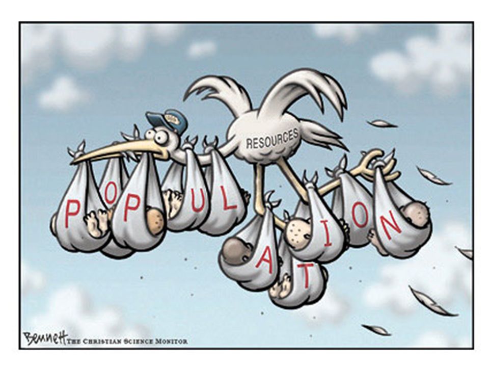
POLITICAL CARTOONS What to do first: TKO T – Title - S ource Line Document and Author K- Key Words / Writing - Bold Headings - Captions O- Other Information - Symbols and characters / POV Ask yourself, what is the purpose of this cartoon? Let’s Try… Political cartoons- are meant to make “lite” of a political figure or situation.

9
Existing number of people is too large to be supported by available resources Currently 7 billion people on Earth Population growing by 80 million each year

10
WHAT ARE THE MOST IMPORTANT QUESTIONS A GEOGRAPHER ASKS HIMSELF? Where? Why? Discuss with a table partner and come up with a reason to support each.

11
WHY IS WHAT WHERE? I.E. Where do people usually live, and why? Why has migration created certain patterns, and where are those patterns located? Why are large cities where trade routes are located?

12
SPATIAL Analysis= Study Diffusion= Spread ANALYSIS DIFFUSION Spatial= Space

13
SPATIAL ANALYSIS- HOW GEOGRAPHERS STUDY HOW PEOPLE USE SPACE ON EARTH. Examples: Common Culture Available Resources Economic Relevance Give an example of how you would use Spatial Analysis?

14
SPATIAL DIFFUSION - THE SPREAD OF PEOPLE AND IDEAS FROM ONE PLACE TO ANOTHER. People, goods, ideas, and diseases diffuse(spread) over space. Examples: Ebola Internet Migration Columbian Exchange (exchange of items between the new and old world) With a partner come up with another example of Spatial Diffusion.
 over space. Examples: Ebola Internet Migration Columbian Exchange (exchange of items between the new and old world) With a partner come up with another example of Spatial Diffusion..")
15
With a partner come up with a way to act out Spatial Analysis and Spatial Diffusion. One or two pairs will be chosen to act it out for the class.

16
SATELLITE IMAGES- ANOTHER GEOGRAPHERS TOOL FOR ANALYZING SPACE

17
1986 2000 HOW HAS POPULATION CHANGED IN US? LOOK AT LOCATIONS

18
WHERE IS THE NILE RIVER DELTA (MOUTH)? WHY ARE THE LIGHTS HEAVILY CONCENTRATED THERE?
 WHY ARE THE LIGHTS HEAVILY CONCENTRATED THERE")
19
RECAP: IT ALL COMES DOWN TO THIS Most people live where they do because… It is close to water It has a temperate climate It is along a trade route It is not mountainous and/or arid.

20
POPULATION DENSITY Populations vary greatly throughout the world because of Landforms Climates Water availability Average number of people living in a region, which is expressed in # of people/square mile.

21
WORLD POPULATION DENSITY MAP How can certain landforms hinder population? Look at the map and find two examples? What regions have the highest population density?

22
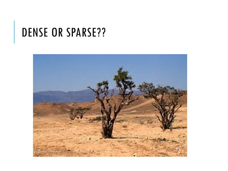
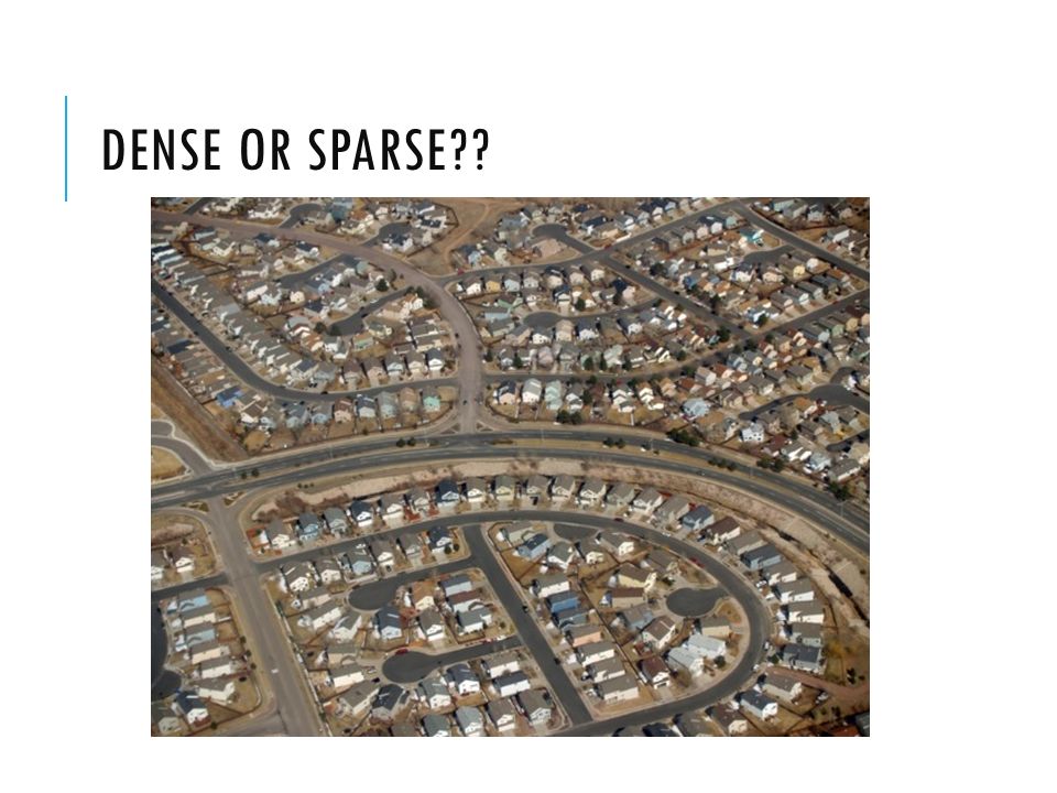
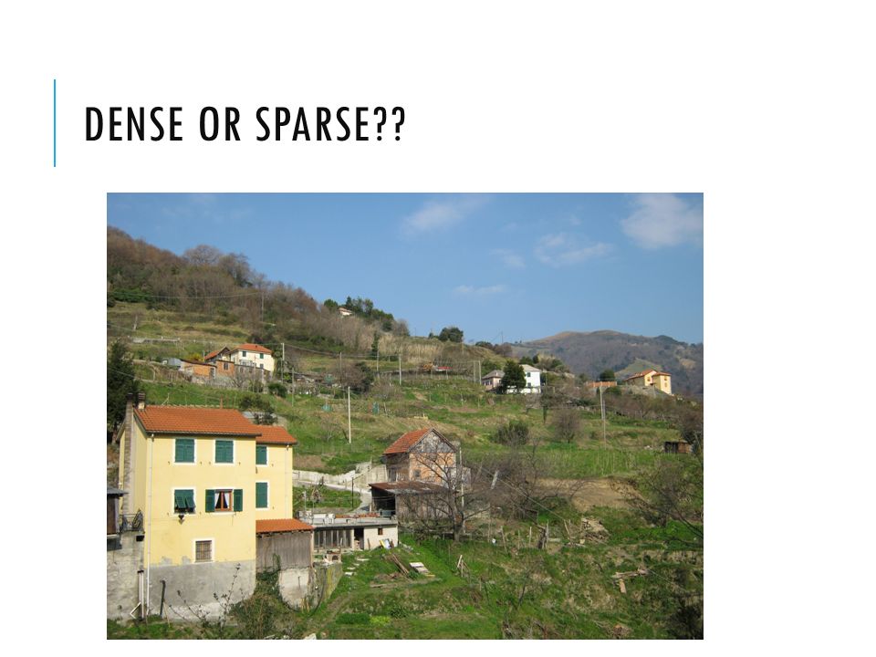
DENSE OR SPARSE??

27
LECTURE NOTES Spatial Analysis- How geographers study how people use space on earth. Spatial Diffusion- The spread of people and ideas from one place to another. Satellite Image- A geographers tool to analyze objects from space. Useful for showing changes over time. Population Density- Average number of people living in a region, which is expressed in # of people/square mile. Dense- Many things in a certain area Sparse- Few things in a certain area Why people live where they do? Near water Along trade routes Temperate climates Not near mountainous and/or arid terrain

Similar presentations


>")


 Write three things that answer what you think of when you think of these places Albert Lea New York City Hawaii.>")


