Download presentation
Presentation is loading. Please wait.

1
NOAA’s National Geodetic Survey United States Height Reference System Modernization Plan Ottawa, Canada April 21, 2009 Ronnie L. Taylor Chief, State Advisor Branch

2
Differential Leveling – NAVD88

3
Why isn’t NAVD 88 good enough anymore? NAVD88 defined through leveling network Leveling the country can not be done again –At $3000 / km, re-leveling NAVD 88 would cost $2.25 Billion –Does not include densifying poorly covered areas in Western CONUS, Alaska –Does not include leveling needed for separate vertical datums on island states and territories Leveling yields cross-country error build-up; problems in the mountains Leveling requires leaving behind marks –Bulldozers and crustal motion do their worst “Maintain-able?”

4
Height Modernization is … …the establishment of accurate, reliable heights using GNSS technology in conjunction with traditional leveling, gravity, and modern remote sensing information….

5
In 2000, $500K added to NGS’ budget for Height Modernization planning In 2001, $2.25M added to NGS budget –to implement Height Modernization in NC –to support the California Spatial Reference Center (CSRC) –to support NGS related Height Modernization activities Also in 2001, NOAA is directed to work with LA and WI to assess their requirements for Height Modernization The Roots of Height Modernization
 –to support NGS related Height Modernization activities Also in 2001, NOAA is directed to work with LA and WI to assess their requirements for Height Modernization The Roots of Height Modernization")
6
Height Modernization Program Timeline 2002-2006 – Program expanded to 11 states through Congressionally directed earmarks 2007 – Program funded at previous year’s levels but without Congressional Direction 2008 – Appropriations includes Height Modernization line plus earmarks, but total funding is decreased

7
FY07 Height Modernization - Recipients CA Scripps Institution of Oceanography (CSRC) NC North Carolina Department of Environmental and Natural Resources (and North Carolina A&T State University) LA Louisiana State University (LSRC) WI Wisconsin Department of Transportation SC South Carolina Geodetic Survey AL Alabama Department of Revenue MS University of Southern Mississippi WA Washington State Department of Natural Resources (SRCW) TX Texas A&M University, Corpus Christi (TSRC) KY Morehead State University AZ Arizona State Land Development (ASRC) IL Illinois State Geological Survey
 NC North Carolina Department of Environmental and Natural Resources (and North Carolina A&T State University) LA Louisiana State University (LSRC) WI Wisconsin Department of Transportation SC South Carolina Geodetic Survey AL Alabama Department of Revenue MS University of Southern Mississippi WA Washington State Department of Natural Resources (SRCW) TX Texas A&M University, Corpus Christi (TSRC) KY Morehead State University AZ Arizona State Land Development (ASRC) IL Illinois State Geological Survey")
8
Height Mod objectives achieved Consistent, accurate vertical AND horizontal control network –Rebuild decimated network –New network is GPS-able –Reduces survey costs by providing denser control Build capacity in the surveying community to perform the surveys and properly use the data Provide data to build better models (DEMs, geoid, storm surge) and products (FIRMs) Provide access to NSRS to enable expansion of applications, like RTK, GIS
 and products (FIRMs) Provide access to NSRS to enable expansion of applications, like RTK, GIS")
9
Program Management Congressional briefings Budget, grants management Transition from earmark to line Transition to competitive awards, agreements Coordination – within, between Regions Partner with Regional Leaders, SRCs NGS’ Role and Responsibilities

10
Project Leadership Support program growth, long range plan Specifications, guidelines Partner with Regional Leaders, SRCs Support advance of science Support NOAA’s Mission – shoreline, weather, climate change NGS’ Role and Responsibilities

11
Outreach/Technology Transfer Advisors Forums, workshops Conferences Publications, web site Training, capacity building NGS’ Role and Responsibilities

12
Quality Control Build outside capacity in geodetic field and processing practices Provide quality control data Validate and load projects into NGS database – NGS Certified Future Online submission of data - OPUS NGS’ Role and Responsibilities

13
www.ngs.noaa.gov/corbin/index.shtml Training center in Corbin, VA Field training – leveling, RTK and static GPS Processing – ADJUST, PAGES, Leveling processing, OPUS

14
“OPUS Variety Pack” OPUS-DB in beta/de-bug mode OPUS-Projects in development, field testing with Katrina project OPUS-RS is now available What next? …. OPUS Levels?

15
Research and Development Development of software, tools Online Tool Kit, OPUS, VDatum Field tools – PGM, Digital Level Tool Guidelines for use of new technologies and processes like remote sensing, real time Modeling – atmospheric, 1-cm geoid Antenna calibrations NGS’ Roles and Responsibilities

16
Continue to Build on Partnerships - State Agencies - NCGS, SCGS, WiDOT, ALDOR, WADNR, AZSLD - Spatial Reference Centers – CA, LA, WA, TX, AZ - Universities – Scripps, LSU, USM, TAMUCC, NCA&T, Morehead State - NOAA and other Federal Agencies – USACE, USGS, FEMA NGS’ Roles and Responsibilities

17
Height Modernization Objective NSRS Reliable Cost-effective Accurate Standardized Legally Established NSRS GEODETIC CONTROL NAVD88

18
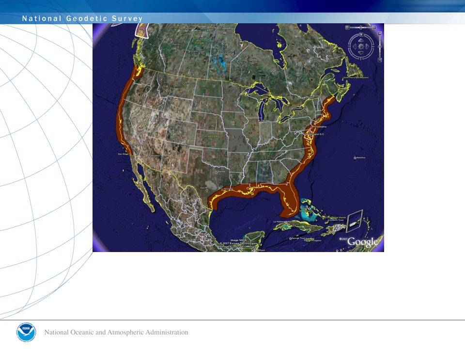
GGPSBM2003: 14,185 total 579 Canada STDEV 4.8 cm (2 σ ) GGPSBM1999: 6,169 total 0 Canada STDEV 9.2 cm (2σ)
 GGPSBM1999: 6,169 total 0 Canada STDEV 9.2 cm (2σ)")
19
Why isn’t NAVD 88 good enough anymore? The GPS era brought fast, accurate ellipsoid heights – naturally this drove a desire for fast, accurate orthometric heights Leveling the country could be done again but; –Too costly in time and money Leveling yields cross-country error build-up; problems in the mountains Leveling requires leaving behind marks –Bulldozers and crustal motion do their worst NAVD 88 H=0 level is known not to be the geoid –Biases, Tilts

20
Access to accurate, reliable heights nationally Standards that are consistent across the nation Data, technology, and tools that yield consistent results regardless of terrain and circumstances A system/process that will stand the test of time – “Maintain-able” Goals of HMP

21
Consistency? Funding GPS on BMs Gravity

22
National Height Modernization Program Height ModNational Height Mod Funding SourceState earmarksLine item Funding RecipientsGrant RecipientsNGS + Grant Recipients Primary Driver1998 Report to Congress NGS 10 year plan + GRAV-D project plan Geography17 statesAll states and territories Cost$40 M$5(?)M / year (split internal/external) Dominant ActivitiesLeveling, GPS, SRC’s, Outreach Similar, plus airborne and terrestrial gravity, LIDAR, IFSAR
M / year (split internal/external) Dominant ActivitiesLeveling, GPS, SRC’s, Outreach Similar, plus airborne and terrestrial gravity, LIDAR, IFSAR")
23
The National Geodetic Survey 10 year plan -- Mission, Vision and Strategy 2008-2018 Official NGS policy as of Jan 9, 2008 –Mission Focused –Modernized Agency –Attention to accuracy –Attention to time-changes –Improved products and services –Integration with other fed missions –www.ngs.noaa.gov/10yearplan 2018 Targets: –NAD 83 and NAVD 88 replaced –Cm-accuracy access to all coordinates –Customer-focused agency –Global scientific leadership

24
From the 10 year plan: “The NSRS must be more accurate than all activities which build upon it, while still being practically achievable” You can’t get orthometric height accuracy of a centimeter, when the vertical datum has a half meter bias and one meter tilt across the country. You can’t have mm/year accuracy in absolute sea level rise when the NSRS is built on an ITRF accuracy of cm/year “The era of using geodetic leveling for continent- scale vertical datum definition comes to an end.”

25
Official NGS policy as of Nov 14, 2007 –$38.5M over 10 years Airborne Gravity Snapshot Absolute Gravity Tracking Re-define the Vertical Datum of the USA by 2017 Transition to the Future – GRAV-D Gravity for the Redefinition of the American Vertical Datum A Plan (released Dec 2007)
")
26
Gravity Survey Plan National High Resolution Snapshot –Predominantly through airborne gravity –With Absolute Gravity for ties and checks –Relative Gravity for expanding local regions where airborne shows significant mismatch with existing terrestrial

27
GRAV-D is the most ambitious project within the National Height Mod Program National Height Modernization needs to support the NAVD 88 while transitioning (via GRAV-D) to a new vertical datum in 10 years All National Height Mod funds (internal or grants) should support access to accurate heights, in general, but: –With emphasis on NAVD 88 today –With emphasis on the new vertical datum in 5 years
 to a new vertical datum in 10 years All National Height Mod funds (internal or grants) should support access to accurate heights, in general, but: –With emphasis on NAVD 88 today –With emphasis on the new vertical datum in 5 years")
28
From the 10 year plan: “The culmination of all these efforts [GRAV-D] allows fast, accurate determination of heights through GPS, and thus truly represents “Height Modernization” as originally envisioned..” A geoid model computed for all USA lands at 1 cm accuracy wherever possible, and tracked in time to that accuracy to yield 2 cm orthometric heights Time tracking will require local help for smallest signals, including gravity surveys and GPS/leveling co-located minimally constrained surveys
![From the 10 year plan: The culmination of all these efforts [GRAV-D] allows fast, accurate determination of heights through GPS, and thus truly represents Height Modernization as originally envisioned.. A geoid model computed for all USA lands at 1 cm accuracy wherever possible, and tracked in time to that accuracy to yield 2 cm orthometric heights Time tracking will require local help for smallest signals, including gravity surveys and GPS/leveling co-located minimally constrained surveys](http://images.slideplayer.com/26/8392349/slides/slide_28.jpg "From the 10 year plan: The culmination of all these efforts [GRAV-D] allows fast, accurate determination of heights through GPS, and thus truly represents Height Modernization as originally envisioned.. A geoid model computed for all USA lands at 1 cm accuracy wherever possible, and tracked in time to that accuracy to yield 2 cm orthometric heights Time tracking will require local help for smallest signals, including gravity surveys and GPS/leveling co-located minimally constrained surveys")
29
NGS 10 year plan (2007-2017) Vision (to achieve the Mission) of NGS The NSRS must be more accurate than all activities which build upon it, while still being practically achievable The acceleration of gravity at points used in defining the NSRS should have an absolute accuracy of 10 microGals at any time. The gravimetric geoid used in defining the NSRS should have an absolute accuracy less than 1 centimeter anyplace at any time.

30
Some of the first Alaska work was completed this past Summer. This was piggybacked onto a planned mapping project in and around the Anchorage/Kenai area.

35
GRAV-D: Campaign II Monitor Gravity (“Low Resolution Movie”) Measure absolute gravity at each point, annually. Model gravity changes over time. Convert to geoid changes over time. Use with tracked GPS stations (CORS) to get orthometric height changes over time.
 to get orthometric height changes over time..")
36
Program Management Grants Process Outreach/Technology Transfer Program Leadership Quality Assurance/Control Research and Development Models and Tools - Gravity/geoid model - V-Datum NOAA’s Roles and Responsibilities

37
Modeling – atmospheric, 1-cm geoid Development of software, tools Software, Online Tool Kit OPUS “Variety Pack” Field tools – PGM, Digital Level Tool VERTCON, VDatum Guidelines for use of new technologies and processes like remote sensing, real time Models and Tools

38
State Geodetic Advisor Program Forums, workshops Conferences Publications, web site Training, capacity building Outside Capacity Building

39
Conclusion National Height Modernization is a good idea –Equitable accuracy and access for all states Represents a transition from NAVD 88 to a new vertical datum –Maintain the old, prepare the new, pay for both during the transition The goal of GRAV-D, a new GNSS-accessible vertical datum, is the essence of “Height Modernization”

Similar presentations


, and GEOID 12 in Alabama Overview of Height Modernization Project Overview of Height Modernization.>")
 In progress Proposed.>")
 Update Great Lakes Region Height Modernization Consortium Meeting Columbus, OH October 13, 2011.>")


 In progress Proposed.>")


 MANUFACTURERS VENDOR.>")


