Download presentation
Presentation is loading. Please wait.

1
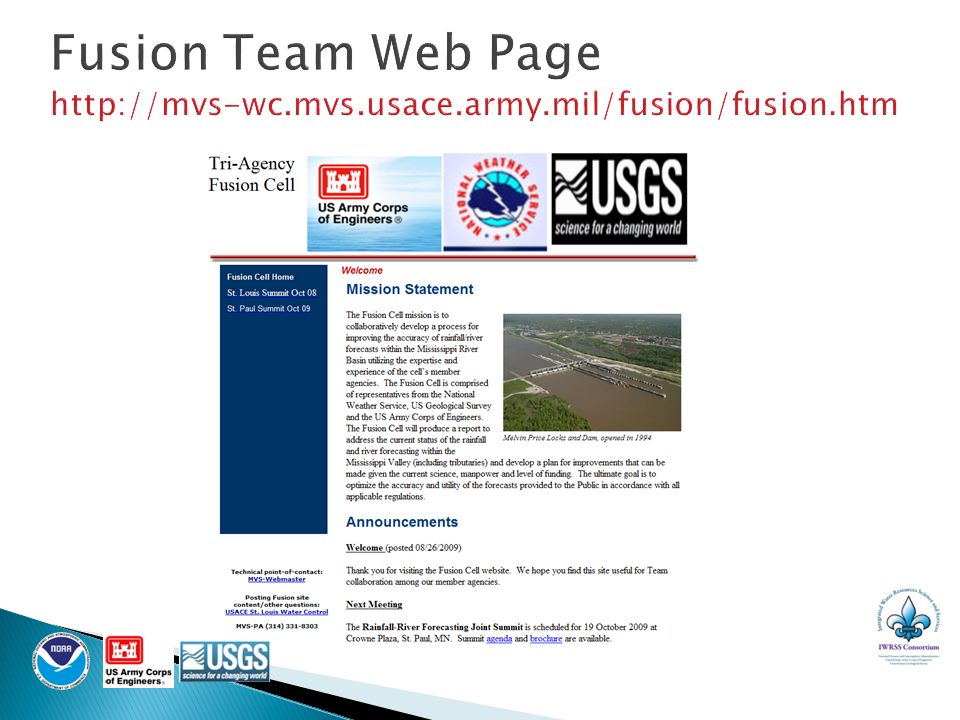
Fusion Team Brief Missouri Basin River Forecasters’ Meeting Kansas City, MO Tuesday, 16 November 2010

2
USACE suggested team as a 2008 Midwest Flood after-action from the Rainfall-River Forecasting Summit (Oct 2008) Main area of focus, Mississippi River Basin Member Agencies - USACE, USGS, NWS USACE members – 3 Divisions and 2 Districts USGS members – Nat’l Flood Coordinator and Data Chiefs from MO, LA & NY Water Science Centers NWS members – 4 River Forecast Centers and 3 Regional HQs 2 of 13
 Main area of focus, Mississippi River Basin Member Agencies - USACE, USGS, NWS USACE members – 3 Divisions and 2 Districts USGS members – Nat’l Flood Coordinator and Data Chiefs from MO, LA & NY Water Science Centers NWS members – 4 River Forecast Centers and 3 Regional HQs 2 of 13")
3
More effective communication and operations were needed between the agencies River observation and forecast discrepancies caused confusion Record levels extended beyond rating curves ◦ Difficult to forecast records Needed levee information earlier Rainfall forecasts too low for heavy rain Flood Impact statements incorrect or inadequate 3 of 13

4
More effective communication and operations were needed between the agencies River observation and forecast discrepancies caused confusion Record levels extended beyond rating curves ◦ Difficult to forecast records Needed levee information earlier Rainfall forecasts too low for heavy rain Flood Impact statements incorrect or inadequate 4 of 16

5
The Fusion Team mission is to improve the accuracy and utility of river/rainfall observations and river forecasts. The team works collaboratively to identify needed improvements and develop plans to implement those improvements given the current science, manpower and level of funding. 5 of 16

6
Enhance communication and coordination Ensure accurate data concurrently available to agencies Implement technical forecast improvements Ensure cross agency training and operations Track river forecast performance 6 of 13

7
Early adoption of NWS Chat ◦ USGS encouraged use (May 2009) ◦ Tri-agency test conducted prior to 2010 flooding ◦ Expanded use in 2010 Midwest flood extremely beneficial ◦ Requested combined chatrooms for easier monitoring Log operational issues on tri-agency extranet ◦ About ready to roll out Optimize use of multi-agency briefings ◦ Use Goto Meeting/Webinars, reduce multiple briefings Explore integrated use of GIS data ◦ USACE Corps Maps into NWS Situational Awareness displays 7 of 13
 ◦ Tri-agency test conducted prior to 2010 flooding ◦ Expanded use in 2010 Midwest flood extremely beneficial ◦ Requested combined chatrooms for easier monitoring Log operational issues on tri-agency extranet ◦ About ready to roll out Optimize use of multi-agency briefings ◦ Use Goto Meeting/Webinars, reduce multiple briefings Explore integrated use of GIS data ◦ USACE Corps Maps into NWS Situational Awareness displays 7 of 13")
8
8 of 13 Accurate Data Concurrently Available to Agencies Causes for gage height differences between agencies discussed; resolution in place ◦ Drawdown curves used at some locations USACE/NWS made operational changes to account for USGS corrections to data Rating Curve discrepancies and timing of updates can be an issue for NWS and USACE Fusion sub-team working on rating curve issues Timely updates Use of different shifts Working toward using same flow starting point to improve forecasts

9
Develop rating curve extensions ◦ In advance and in real time ◦ Created prioritized list Coordinate rating shifts to create a closer flow starting point Ensure proper use and understanding of QPF and Probabilistic QPF (PQPF) Coordinate development of HEC- RAS models for the Mississippi and Illinois Rivers 9 of 13
 Coordinate development of HEC- RAS models for the Mississippi and Illinois Rivers 9 of 13")
10
USACE/NWS Forecaster Workshops ◦ Use Fusion Team extranet input to focus workshop goals and objectives Use flood event playbook in real time and in joint exercises (RFRMT Feb 2011) Use USGS flow measuring techniques to ensure interagency consistency Assess value of cross-training 10 of 13
 Use USGS flow measuring techniques to ensure interagency consistency Assess value of cross-training 10 of 13")
11
Developed Flood Event Playbook ◦ Used to plan Decision Support Services prior to 2010 Midwest flooding Developed and implemented plan to provide USGS and USACE liaisons to RFC ◦ Improves communication with USGS/USACE ◦ Coordinates rating curve extension needs ◦ Relays levee information and breaks Developing method to report flood impact discrepancies ◦ Improves public communication ◦ Improves inter-agency readiness and response RFCs recently granted access to USACE levee database 11 of 13

12
Need common accuracy metrics Exploring ways to unify use and presentation of common metrics Extend verification to crests and low levels Extend metrics to specific local impacts ◦ e.g., harbor closing decision at St. Louis 12 of 13

13
Continue reaching out to stakeholders to obtain feedback & communicate progress Expand verification metrics Provide guidance to ◦ Annual Tri-Agency Meetings ◦ NWS/USACE/USBR Forecaster Workshops ◦ Annual Water Control Meetings Integrated Water Resources Science and Services (IWRSS) demonstration – resources permitting 13 of 13
 demonstration – resources permitting 13 of 13")
15
22:08 dnr or USGS folks - anyone know what the temps are of the water as you get north of Grand Forks? I am at the EOC and they are looking at solutions for the ice jams at oslo. One of the solutions may not be feasible if the water is too supercooled. Thanks diane 22:26 no temp at Oslo, but Red River at Fargo is 1.1 C, Red River at Grand Forks 0 C, Sheyenne River near Flora -0.2 C, and Sheyenne River at Cooperstown -0.2.

Similar presentations


>")


 Concept Briefing>")


