Download presentation
Presentation is loading. Please wait.

1
Geographical Information Systems

2
Software which can be used in GIS ArcGIS Desktop Map Window Quantum GIS uDig

3
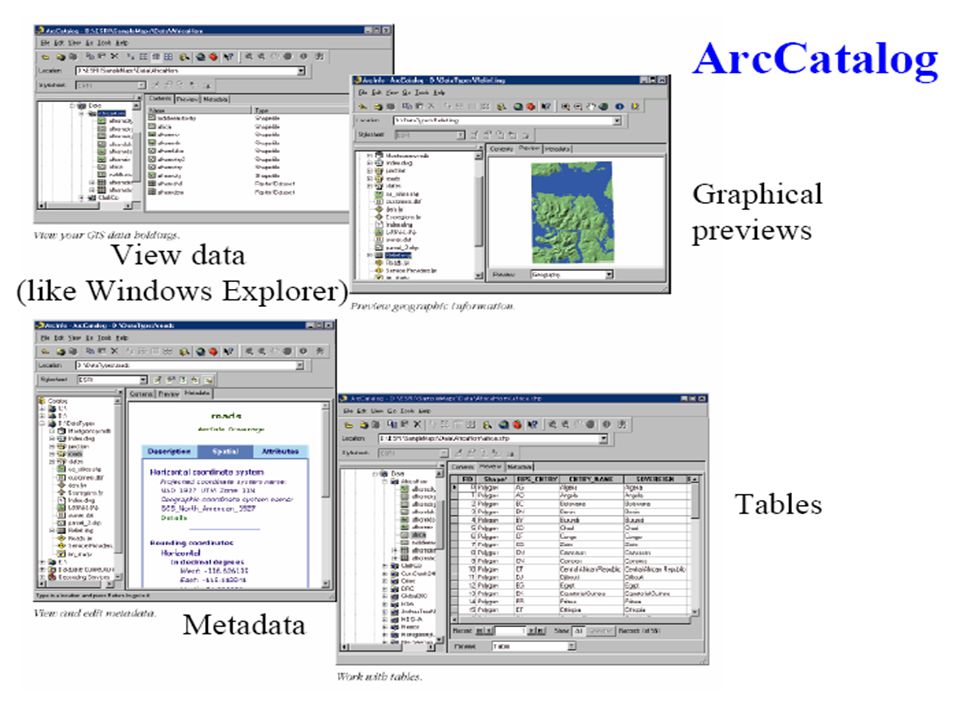
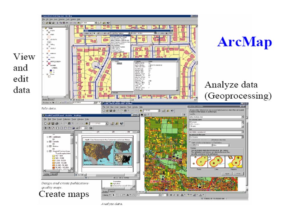
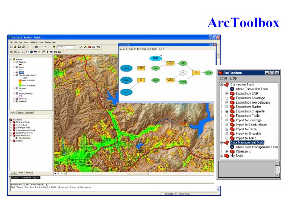
Introduction ArcGIS Components of ArcGIS : ArcMap, ArcCatalog and, ArcToolbox

7
How data are stored in ArcGIS Coverage Shapefile Geodatabase

8
Coverage Coverage is a topology based vector data format A coverage can be a point coverage, line coverage,or polygon coverage. The coverage model supports three basic topological relationships. Connectivity: Arc connects to each other at nodes. Area definition: An Area is defined by a series of connected arcs. Contiguity: Arcs have directions and left and right polygon.

9
Shapefile Shapefile is a standard nontopological data format. The Shapefile is now very common format used for exchanging spatial information between all kind of systems. The shapefile is made of following files:.shp: The SHP file contains the raw geometrical shape data. Each SHP file can contain items of only one kind of geometry shapes Points, LineStrings, or Polygons..shx: The SHX file maintains the shapefile index..dbf : The DBF file contains nonspatial attributes of each shape.prj : The PRJ file gives details about projection.

10
GeoDatabase A geodatabase is a relational database that store geographic information

11
Lab 1 http://gisserver.civil.iitd.ac.in/gislab/home.htm

12
Where to send your tutorial Email Id: gislabcel747@yahoo.ingislabcel747@yahoo.in

Similar presentations


>")


>")


