Download presentation
Presentation is loading. Please wait.

2
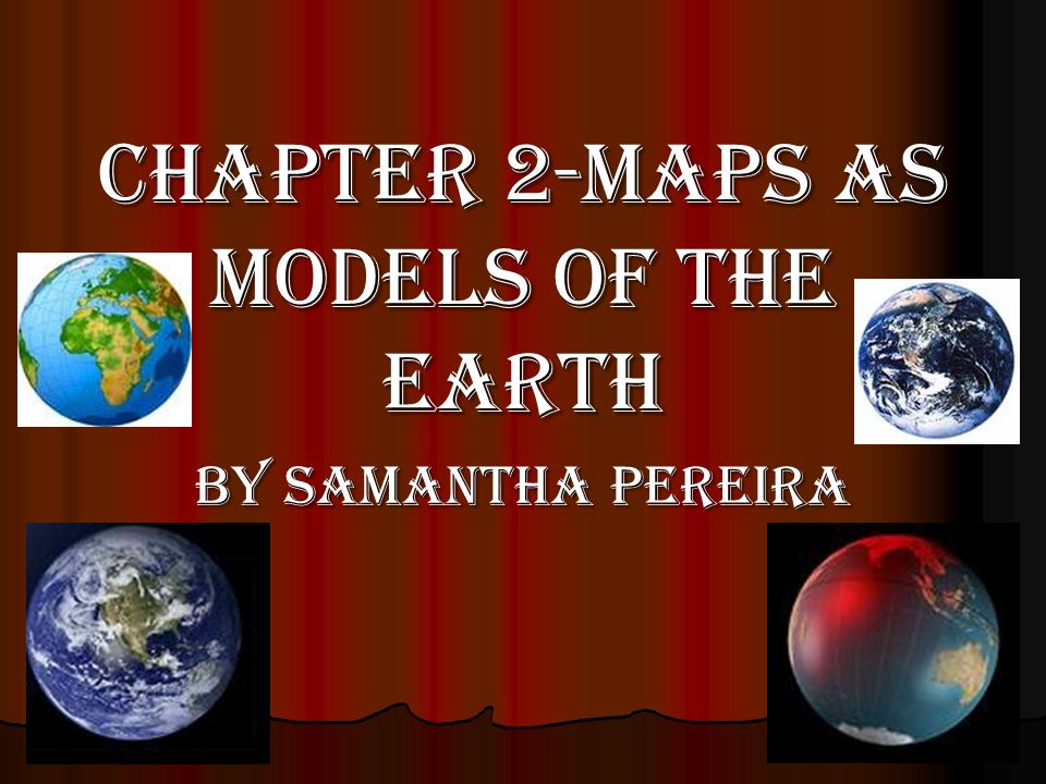
Chapter 2-Maps as Models of the Earth By Samantha Pereira

3
Summary of Chapter This chapter is about maps, how to make maps, the tools, ways, systems, projections to make maps, and how to make and read topographic maps. This chapter is about maps, how to make maps, the tools, ways, systems, projections to make maps, and how to make and read topographic maps.

4
Lesson 1- You Are Here

5
Lesson 1 Vocabulary Map- a representation of the features of a physical body such as Earth Map- a representation of the features of a physical body such as Earth True North- the direction to the geographic North Pole True North- the direction to the geographic North Pole Magnetic declination- the difference between the magnetic north and the true north Magnetic declination- the difference between the magnetic north and the true north Latitude- the distance north or south from the equator Latitude- the distance north or south from the equator Equator- the imaginary circle halfway between the poles that divides the Earth into the Northern and Southern Hemispheres Equator- the imaginary circle halfway between the poles that divides the Earth into the Northern and Southern Hemispheres Longitude- the distance east and west from the prime meridian Longitude- the distance east and west from the prime meridian Prime Meridian- the meridian, or line of longitude, that is designated as 0 degrees longitude Prime Meridian- the meridian, or line of longitude, that is designated as 0 degrees longitude

6
Lesson 1 What does the map really look like? The Greeks originally found out the Earth was round, not Christopher Columbus. They found that out by the observation that a ship sinks below the horizon as it sails into the distance supported the idea of a spherical Earth. The first person to find out the size of the Earth was Eratosthenes- a Greek mathematician but his calculation was only wrong by 6250 km. What does the map really look like? The Greeks originally found out the Earth was round, not Christopher Columbus. They found that out by the observation that a ship sinks below the horizon as it sails into the distance supported the idea of a spherical Earth. The first person to find out the size of the Earth was Eratosthenes- a Greek mathematician but his calculation was only wrong by 6250 km. Finding Direction on Earth People use reference points to name a landmark to give directions. A reference point is a fixed place on the Earth’s surface from which direction and location can be described. If you use directions like- north, south, east, and west, you are using cardinal directions. To find these cardinal directions, you use a compass. A compass is a tool that uses the natural magnetism of the Earth to show direction. Finding Direction on Earth People use reference points to name a landmark to give directions. A reference point is a fixed place on the Earth’s surface from which direction and location can be described. If you use directions like- north, south, east, and west, you are using cardinal directions. To find these cardinal directions, you use a compass. A compass is a tool that uses the natural magnetism of the Earth to show direction.

7
Lesson 2- Mapping the Earth’s Surface

8
Lesson 2 Vocabulary Cylindrical projection- a map projection that is made by moving the surface features of the globe onto a cylinder Cylindrical projection- a map projection that is made by moving the surface features of the globe onto a cylinder Conic projection- a map projection that is made by moving the surface features of the globe onto a cone Conic projection- a map projection that is made by moving the surface features of the globe onto a cone Azimuthal projection- a map projection that is made by moving the surface features of the globe onto a plane Azimuthal projection- a map projection that is made by moving the surface features of the globe onto a plane Remote sensing- the process of gathering and analyzing information about an object without physically being in touch with the object Remote sensing- the process of gathering and analyzing information about an object without physically being in touch with the object

9
Lesson 2 A Flat Sphere? There are four different types of map projections. There are cylindrical, conic, azimuthal, and equal-area projections. Cylindrical is when you make a map by moving the surface features of the globe onto a cylinder. One example of a cylindrical projection is mercator projection. Conic projection is when you make a map by moving the surface features of a globe onto a cone. Azimuthal projection is when you make a map by moving the surface features of the globe onto a plane. Lastly, equal-area projection is a map projection that shows the area between the latitude and longitude lines the same size as that area on a globe. A Flat Sphere? There are four different types of map projections. There are cylindrical, conic, azimuthal, and equal-area projections. Cylindrical is when you make a map by moving the surface features of the globe onto a cylinder. One example of a cylindrical projection is mercator projection. Conic projection is when you make a map by moving the surface features of a globe onto a cone. Azimuthal projection is when you make a map by moving the surface features of the globe onto a plane. Lastly, equal-area projection is a map projection that shows the area between the latitude and longitude lines the same size as that area on a globe.

10
Lesson 2 Information Shown on Maps These are the five things every map should have: title, compass rose, scale, date, and a legend. Information Shown on Maps These are the five things every map should have: title, compass rose, scale, date, and a legend. Modern Mapmaking Scientists use five different mapmaking tools. They are remote sensing and satellites, remote sensing using radar, global positioning system, and geographic information systems Modern Mapmaking Scientists use five different mapmaking tools. They are remote sensing and satellites, remote sensing using radar, global positioning system, and geographic information systems

11
Lesson 3- Topographic Maps

12
Lesson 3 Vocabulary Topographic Map- a map that shows the surface features of Earth Topographic Map- a map that shows the surface features of Earth Elevation- the height of an object above sea level Elevation- the height of an object above sea level Contour Line- a line that connects points of equal elevation Contour Line- a line that connects points of equal elevation Contour interval- the difference in elevation between one contour line and the next Contour interval- the difference in elevation between one contour line and the next Relief- the variations in elevation of a land surface Relief- the variations in elevation of a land surface Index contour- on a map, a darker, heavier contour line that is usually every fifth line and that indicates a change in elevation Index contour- on a map, a darker, heavier contour line that is usually every fifth line and that indicates a change in elevation

13
Lesson 3 Elements of Elevation The USGS or United States Geological Survey, a federal government agency make topographic maps to show elevation in feet rather in meters. These are the four different elements of making a topographic map: contour lines, contour intervals, relief, and index contours. Elements of Elevation The USGS or United States Geological Survey, a federal government agency make topographic maps to show elevation in feet rather in meters. These are the four different elements of making a topographic map: contour lines, contour intervals, relief, and index contours.

14
Lesson 3 Reading a Topographic Map Topographic maps use symbols like any other maps to represent parts of the Earth’s surface. There are four golden rules of contour lines. They are: contour lines never cross, spacing of contour lines depends on slope characteristics, contour lines that cross a valley or stream are V shaped, and the tops of hills, mountains, and depressions are shown by closed circles. Reading a Topographic Map Topographic maps use symbols like any other maps to represent parts of the Earth’s surface. There are four golden rules of contour lines. They are: contour lines never cross, spacing of contour lines depends on slope characteristics, contour lines that cross a valley or stream are V shaped, and the tops of hills, mountains, and depressions are shown by closed circles.

15
Conclusion of the Chapter Lesson 1- In order to make a map, you need to know the things that are used to make a map. Lesson 1- In order to make a map, you need to know the things that are used to make a map. Lesson 2- In order to make a map, you have to use one of the four different kinds of projections to make one. Lesson 2- In order to make a map, you have to use one of the four different kinds of projections to make one. Lesson 3- In order to make topographic maps, you have to know the rules, how to read it, and the elements to make topographic map. Lesson 3- In order to make topographic maps, you have to know the rules, how to read it, and the elements to make topographic map.

16
Sources Science textbook Science textbook Clip Art Clip Art www.ask.com/images www.ask.com/images www.ask.com/images www.google.com/images www.google.com/images www.google.com/images

Similar presentations


 W (Want to know) L (What I learned) Warm up- take out a piece of paper and do the “K” and the “W” for the above topic.>")


