Download presentation
Presentation is loading. Please wait.

1
ANDERSON (1976) Land use and land cover classification system for use with remote sensor data Level I Level II 1 Urban or Built-up Land 11 Residential 12 Commercial and Services 13 Industrial 14 Transportation, Communications, and Utilities 15 Industrial and Commercial Complexes 16 Mixed Urban or Built-up Land 17 Other Urban or Built-up Land 2 Agricultural Land 21 Cropland and Pasture 22 Orchards, Groves, Vineyards, Nurseries, and Ornamental Horticultural 23 Confined Feeding Operations 24 Other Agricultural Land 3 Rangeland 31 Herbaceous Rangeland 32 Shrub and Brush Rangeland 33 Mixed Rangeland 4 Forest Land41 Deciduous Forest Land 42 Evergreen Forest Land 43 Mixed Forest Land 5 Water 51 Streams and Canals 52 Lakes 53 Reservoirs 54 Bays and Estuaries 6 Wetland61 Forested Wetland 62 Nonforested Wetland 7 Barren Land 71 Dry Salt Flats. 72 Beaches 73 Sandy Areas other than Beaches 74 Bare Exposed Rock 75 Strip Mines Quarries, and Gravel Pits 76 Transitional Areas 77 Mixed Barren Land 8 Tundra 81 Shrub and Brush Tundra 82 Herbaceous Tundra 83 Bare Ground Tundra 84 Wet Tundra 85 Mixed Tundra 9 Perennial Snow or Ice 91 Perennial Snowfields 92 Glaciers

2
Proposed Taxonomy scheme for NSEC Database (Popp Nov 2003): MINERALS - Dana (1837) System of Mineral Classification. Elements Sulfides Oxides Halides Carbonates Sulfates Phosphates Silicates SOILS - A Basic System of Soil Classification for Making and Interpreting Soil Surveys, Second Edition, 1999 USDA Alfisols Andisols Aridisols Entisols Gelisols Histosols Inceptisols Mollisols Oxisols Spodosols Ultisols Vertisols ROCK -This Group should follow the standard form of taxonomy consistent with conventional petrology. Igneous Sedimentary Metamorphic Meteorite VEGETATION-

3
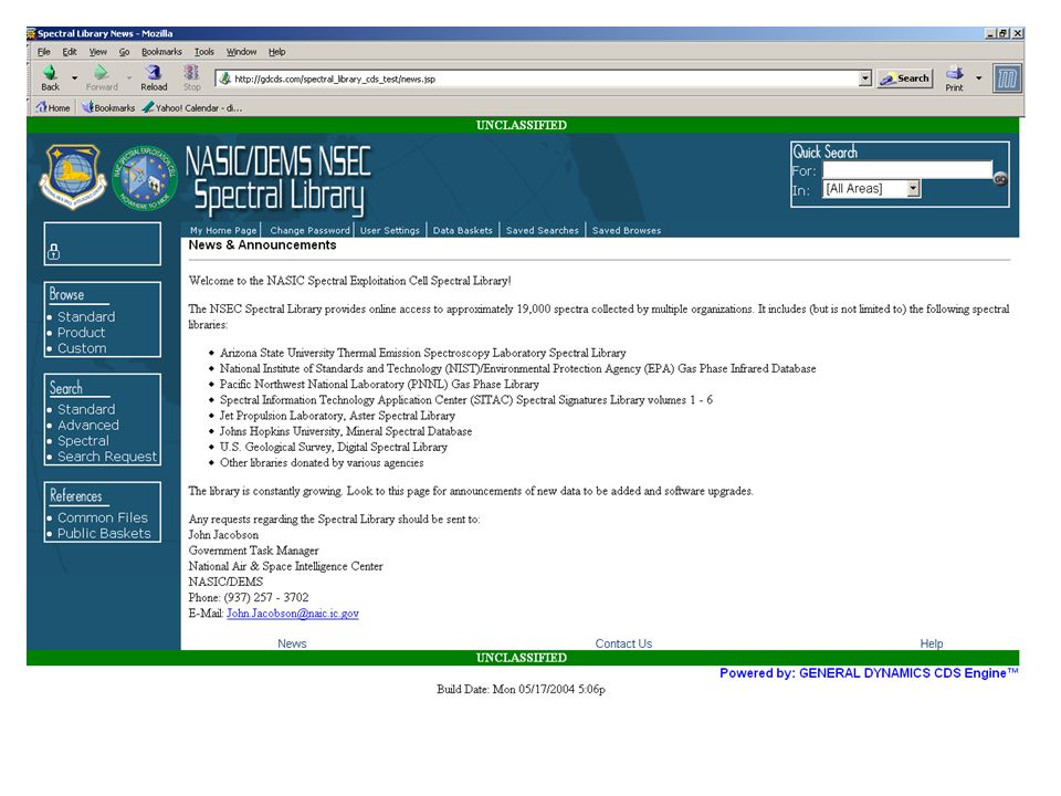
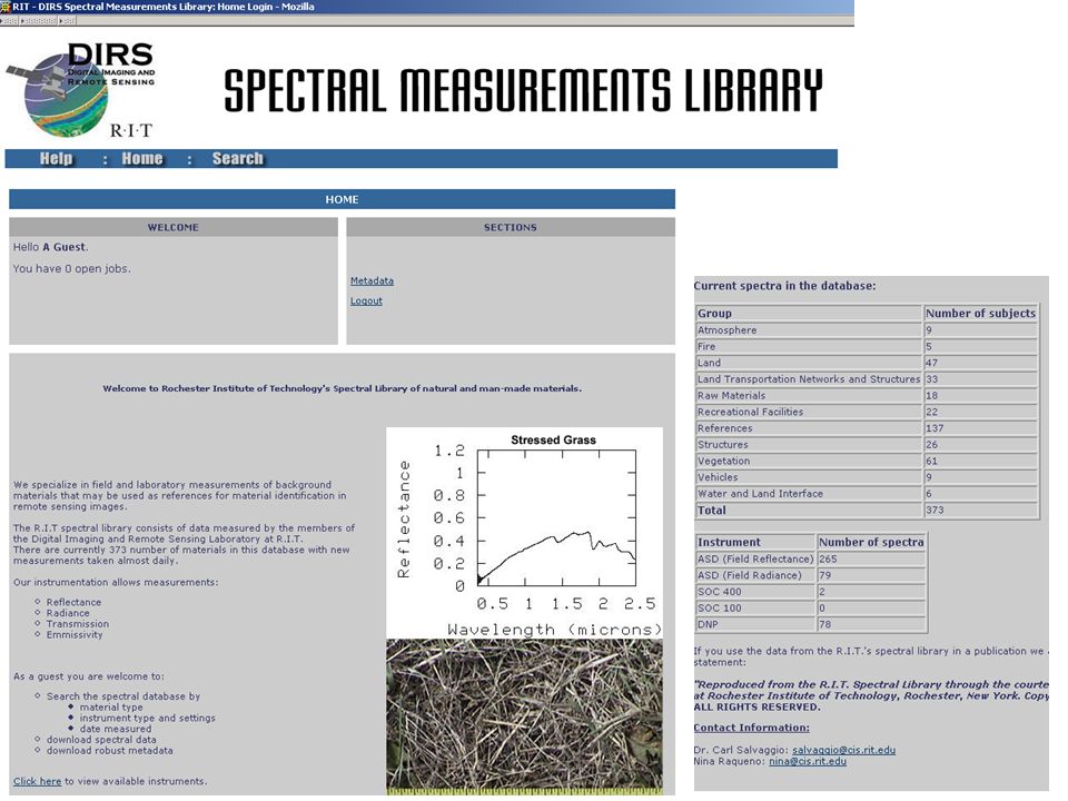
Existing Spectral Libraries ASTER Spectral Library (compilation of USGS, JHU, JPL)
")
Similar presentations


>")


