Download presentation
Presentation is loading. Please wait.

1
Indian Brook Stream Geomorphic Assesment Phase I Protocol Essex and Colchester, Vermont Danica Lefever April 29, 2005

2
Watershed Overview Colchester Essex Malletts Bay Essex Junction

3
6.3% impervious cover 6.3% impervious cover 30.6 sq. km. 30.6 sq. km. Approximately half of total watershed designated as impaired Approximately half of total watershed designated as impaired Essex Jct. between Educational Dr. and Rt. 15 Essex – Upstream of Susie Wilson Rd.

4
Impaired portion Impaired portion of watershed http://www.anr.state.vt.us/dec/waterq/stormwater/images/sw_indianmap.gif Essex Landfill

5
Colchester Stormwater Sewers Very minimal stormwater outfall impacts in Colchester Very minimal stormwater outfall impacts in Colchester Relatively wide buffer in Reaches 1-6 Relatively wide buffer in Reaches 1-6

6
Lang Farms Golf Course New Condos Essex and Essex Junction Stormwater Sewer Lines

7
Reference Conditions Step 2 Indian Brook Reservoir

8
Reach 1 Reach 2

9
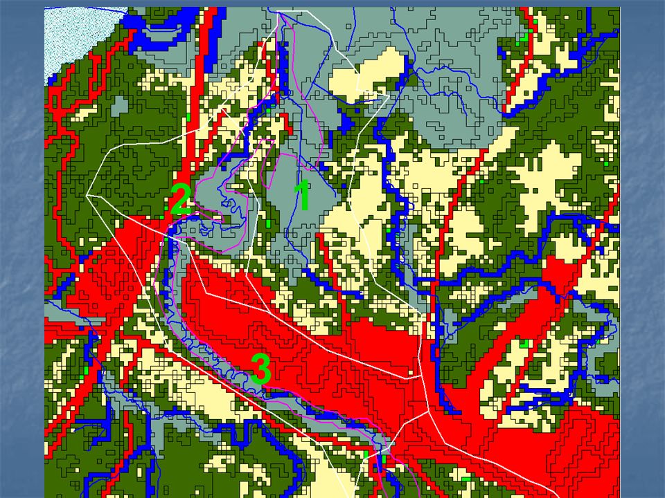
Reach 3

10
Landcover/Landuse Step 4 Indian Brook Reservoir Hmmmm? Not anymore!

12
Indian Brook Park Indian Brook Park LU 17 – Outdoor and other urban and built-up land LU 17 – Outdoor and other urban and built-up land SGAT classified it as Urban SGAT classified it as Urban

16
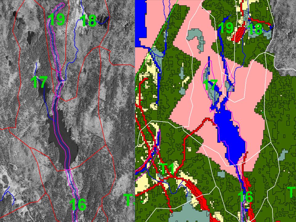
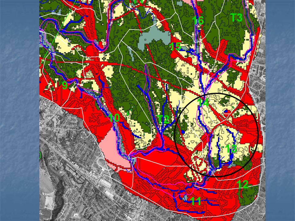
Reaches 13 and 14 Reaches 13 and 14 Hard to classify from the aerials Hard to classify from the aerials Reaches 16 and 17 Reaches 16 and 17 Very easy to see they aren’t urban Very easy to see they aren’t urban

17
Impoundment Mill Pond Road Mill Pond Road Indian Brook Reservoir Indian Brook Reservoir

18
Straightening Essex Junction RIT

19
Bank Armoring Steep bank Steep bank Between two culverts Between two culverts Behind Essex High School Behind Essex High School Reach 3 Reach 11 Broad Valley Broad Valley Near Bike Path bridge Near Bike Path bridge

20
Summary Conditions Phase 1 Phase 1 Aerials Aerials LC/LU LC/LU RIT RIT Age of data Age of data Impacted Reaches Impacted Reaches Partly impaired Partly impaired Usefulness of Phase I data Usefulness of Phase I data Reach 11 Reach 11 Reach 2

Similar presentations


 Course overview: The.>")


