Download presentation
Presentation is loading. Please wait.

1
Crowdsourced Geographic Information in Government Muki Haklay @mhaklay Vyron Antoniou, Sofia Basiouka, Robert Soden (GFDRR), Peter Mooney (NUIM)
, Peter Mooney (NUIM)")
2
Prof. Mordechai (Muki) Haklay, Department of Civil, Environmental and Geomatic Engineering, UCL Dr. Vyron Antoniou, Hellenic Army Geographic Directorate Sofia Basiouka, School of Rural and Surveying Engineering, National Technical University of Athens Robert Soden, World Bank, Global Facility for Disaster Reduction & Recovery (GFDRR) Dr. Peter Mooney, Department of Computer Science, National University of Ireland, Maynooth Research team
 Dr. Peter Mooney, Department of Computer Science, National University of Ireland, Maynooth Research team.")
3
Outline The growth of crowdsourcing and citizen science Background to the study Study methodology Main findings Where next?

4
Location sensing mobile devices ©kristian stokholm (sxc.hu) )
 )")
5
Collaborative, socially-based knowledge creation systems

6
© Kathmandu Living Labs Harnessing of Web and mobile tools to create, assemble, and disseminate geographic data provided voluntarily by individuals AKA Crowdsourced GI Volunteered GI Mapping in Kathmandu © MySociety

7
Volunteer rainfall observer Rick Grocke checks the rain gauge at Tanami Downs cattle station in the Northern Territory of Australia © WMO–No. 919 Scientific activities in which non- professional scientists volunteer to participate in data collection, analysis and dissemination of a scientific project. © Audubon Cal. Citizen science Jennifer Jewett / USFWS Participating in Christmas Bird Count

8
Project background Crowdsourcing GI maturing (OpenStreetMap 2004, TomTom Map Share 2007, Google Map Maker 2008, Waze 2008) Quality demonstrated to be ‘good enough’ and ‘fit for purpose’ GFDRR (and other funders) sponsor VGI How to ensure that projects are successful? What are the barriers? Opportunities?

9
Scope Public Government public→government government→public→government public→government→public

10
Methodology Workshop at SOTM ’13 7 seed-cases, website, survey Further 4 cases through experts Jan – May 2014: Continued effort to identify cases, response to submissions May 2014 – Skype workshop and write up Total 29 cases, over 35 identified

11
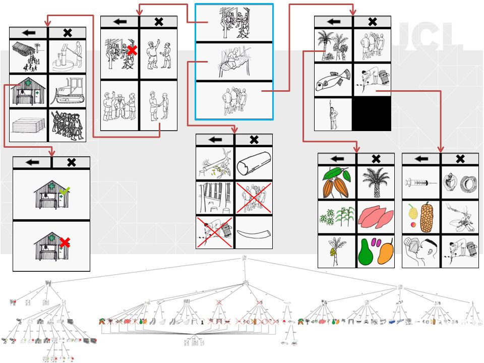
Incentives&Drivers Scope&Aims Stakeholders, Participants & Relationships ModesOfEngagement TechnicalAspects SuccessFactors Problems Crowdsourcedgeographic information use in government Crowdsourcedgeographic information use in government

12
Basic mapping coverage Update authoritative spatial data sets Upgrade public sector services Policy development or reporting Natural disaster preparedness (proactive)and crisis management (reactive) Scope&Aims
and crisis management (reactive) Scope&Aims")
13
Lack of institutional data in time sensitive situations Policy change around governmental data Low resources and need for infrastructure support Research and development efforts Environmental monitoring through citizen science Incentives Incentives&Drivers

14
Identification of appropriate cooperation between the public and government Partnership of scientific organizations Workshops Recruitment of volunteers Innovative techniques SuccessFactors

15
One-off event versus on-going initiative Accuracy and reliability Maintaining public interest Problems

16
Where next?

19
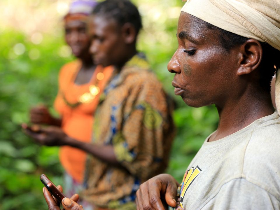
Jerome Lewis, ExCiteS

21
Summary Factors that can be identified include: Individual level influence Organizational level influence Business models Technical problems Conceptual issues

22
Get the report: – http://crowdgov.wordpress.com/report

Similar presentations


 VOLUNTEERED GEOGRAPHIC INFORMATION (VGI) AND COMMUNICATING.>")

 69:211–221 DOI 10.1007/s10708-007-9111-y Presented by: Group.>")


 is the harnessing of tools to create,>")
 Silvia Llosa.>")


