Download presentation
Presentation is loading. Please wait.

1
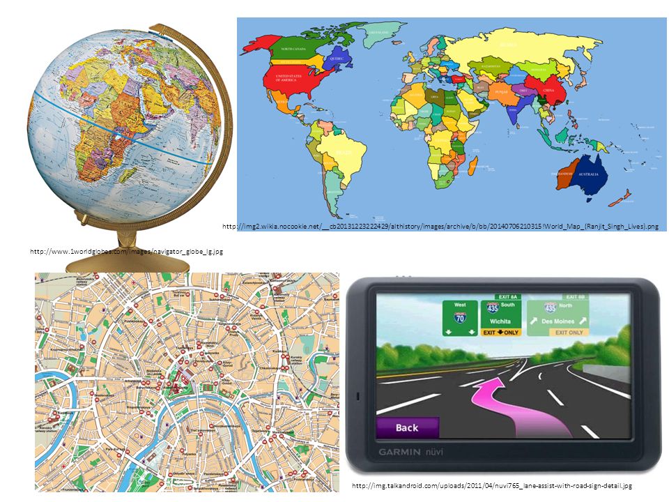
Images for our Map Toolkit http://images.all-free-download.com/images/graphiclarge/globe_clip_art_24306.jpg

2
http://img.talkandroid.com/uploads/2011/04/nuvi765_lane-assist-with-road-sign-detail.jpg http://www.1worldglobes.com/images/navigator_globe_lg.jpg http://img2.wikia.nocookie.net/__cb20131223222429/althistory/images/archive/b/bb/20140706210315!World_Map_(Ranjit_Singh_Lives).png
3
globe map http://upload.wikimedia.org/wikipedia/commons/6/6b/Rotating_globe.gif http://geology.com/world/world-map.gif

4
satellite map street map http://www.aaccessmaps.com/images/maps/us/ny/lower_manhattan/lower_manhattan.gif - http://www.directionsmag.com/gisresponse/images/maps/nyc/09_manhattan_before_psh.jpg

5
http://www.skywatchweather.com/Resources/newspage/webmap.jpg country map climate map

6
a key

Similar presentations


 Explain the physical and human causes of climate change 6 Explain the effects of climate change 6 Explain the solutions adopted.>")


