Download presentation
Presentation is loading. Please wait.

1
U.S. Department of the Interior U.S. Geological Survey Web Presence, Data Sharing, Real- time Analysis and Crowdsourcing GFSAD30 Sixth Workshop – July 2015 Justin Poehnelt, Student Developer jpoehnelt@usgs.gov

2
Overview Reference Data Collection Mobile Application Google Street View Imagery Other Sources Croplands Website Maps and Layers Image Classification Reference Data Management

3
Achievements Mobile application has been released for Android and iOS devices. Continued improvements to Croplands website bringing stability, scalability and an improved aesthetic.

4
Mobile Application Overview A mobile application can facilitate easy collection of reference data using common mobile devices from anywhere in the world.

5
Mobile Application Specifications Work without network access User captured photos Collect minimum of crop type and water source Handle inaccuracies and patterns of field data collection

6
Data Collection Patterns User may only have a few seconds to take photo and collect location. Allow user to separate location collection from form completion. User is likely to be on edge of area of interest. Capture bearing and distance to center of area. Bearing is more important and can use built-in compass. User may be poor judge of area and distance. Use qualitative measures when possible with a generalized definition. High resolution imagery can be used to verify.

7
Mobile App Demo For more information on the app: https://croplands.org/mobile

8
Other Sources of Data Google Street View Imagery Very High Resolution Imagery Other Projects LUCAS geoWiki These sources require a greater amount of processing to hopefully fit our project’s needs.

9
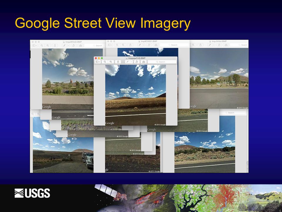
Google Street View Imagery

11
Challenges Extracting street view coverage Big data problem Remaining Tasks Download portion of 4 trillion tiles having showing street view coverage… less than 5% Extract polylines from tiles Sample polylines for locations Verify images exist at location Modification of image classification page

12
LUCAS Data (Europe) Includes crop type, detailed location data and 5 photos for each site. Covers EU members 2006: 150,000 sites 2009: 200,000 sites 2012: 250,000 sites 2015: 270,000 sites (in progress)
.")
13
LUCAS Data (Europe) Challenges: Over two terabytes of photos Slight variations in data structure year to year require careful conversion of data to GFSAD structure Tracking the uploading and merging of this data requires persistent data structures and careful rate- limiting Mixed pixel issues
 Challenges: Over two terabytes of photos Slight variations in data structure year to year require careful conversion of data to GFSAD structure Tracking the uploading and merging of this data requires persistent data structures and careful rate- limiting Mixed pixel issues")
14
LUCAS Data Mixed Pixels

15
Croplands Website Primary method for viewing and interacting with GFSAD30 products through a web browser Additional tools and structure for storing and managing reference data

16
Maps and Layers Dynamic map tiles generated through Google Earth Engine Created and cached as to improve speed Allows user to select specific years, classes etc. 2E17 unique tiles summing to millions of petabytes can be available for request Supporting layers such as NDVI can now easily be incorporated

17
Example Layer

18
Other Tools and Processing Image Classification Mixed Pixel Review/Adjustment Sampling Training and Validation Data Generating Phenology Patterns Email alerts for new reference data with download links Additional analysis tools to compare different GFSAD products

19
Image Classification

20
Mixed Pixels

21
Training or Validation

22
Web App Demo For more information on the app: https://croplands.org

23
Open Source Software github.com/justinwp/croplands github.com/justinwp/croplands-web github.com/justinwp/croplands-mobile

24
Thank you

Similar presentations

 June 19, 2014.>")

 Tsou Phone: 619-594-0205.>")


 Hamid Haddadi, Anthony Shakal and Moh Huang California Geological Survey and Woody Savage.>")


 CIMSS Student Workshop Madison, WI 23 June 2014.>")


