Download presentation
Presentation is loading. Please wait.

1
LIDAR Availability Hand over that data !!

2
Where do we have LIDAR for NC? Phase I & II counties Coastal USGS data

3
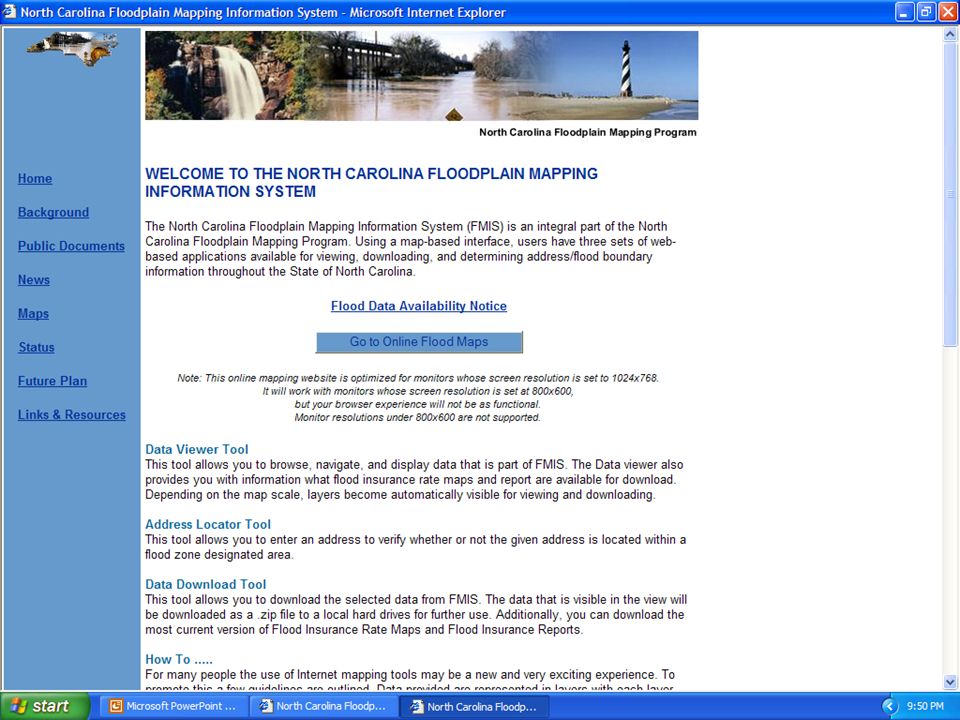
Tell me where to go….. Floodplain Mapping Program –http://www.ncfloodmaps.comhttp://www.ncfloodmaps.com USGS –http://seamless.usgs.govhttp://seamless.usgs.gov NOAA Coastal Services Center –http://www.csc.noaa.govhttp://www.csc.noaa.gov

4
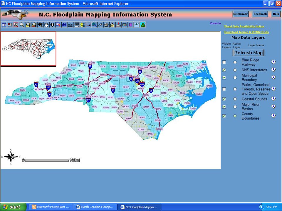
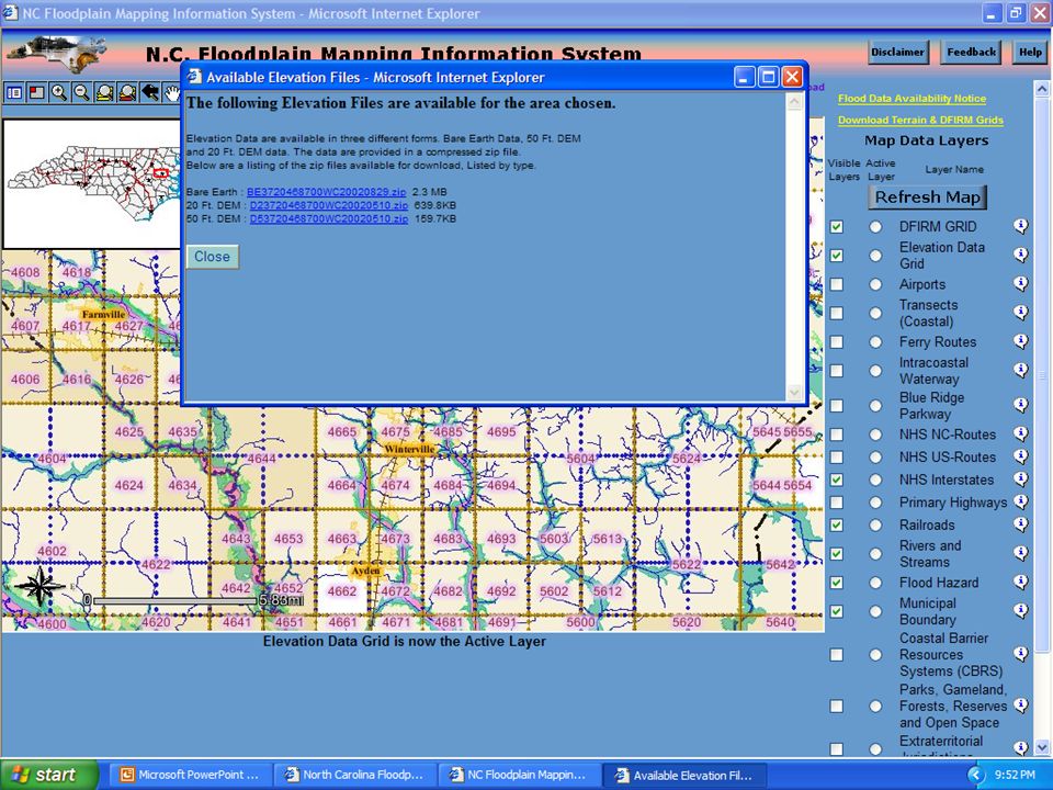
www.ncfloodmaps.com Bare earth mass points –x,y,z ascii zip file –20’ DEM (ESRI GRID) –50’ Hydro-correct DEM (ESRI GRID) Data available by 10,000’ by 10,000’ tile State plane feet Elevations in feet Metadata currently available upon request
 –50’ Hydro-correct DEM (ESRI GRID) Data available by 10,000’ by 10,000’ tile State plane feet Elevations in feet Metadata currently available upon request")
9
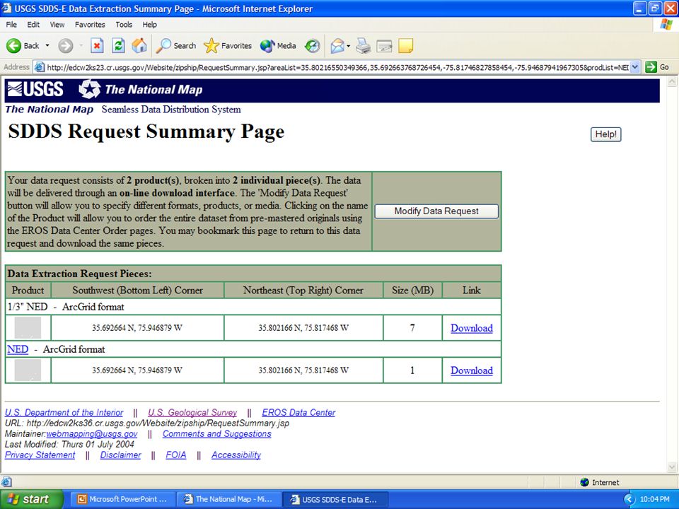
seamless.usgs.gov National Elevation Dataset Project to incorporate NC LIDAR derived elevations into NED 1/3 and 1/9 arc second data sets Clip, Zip and Ship Geographic coordinates

12
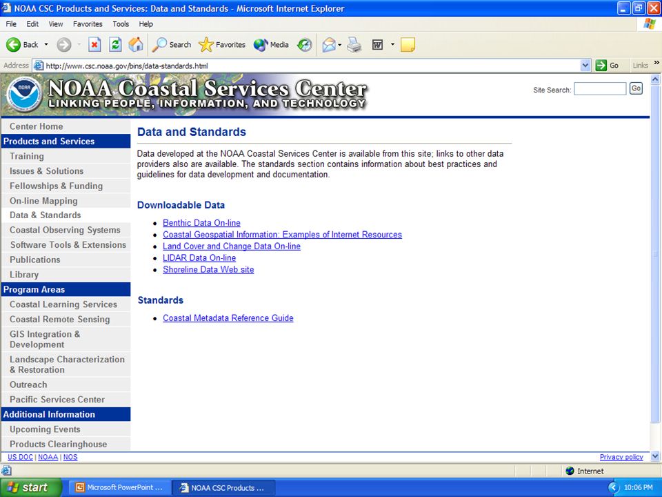
NOAA coastal services center http://www.csc.noaa.gov Only available along the coast LIDAR data retrieval tool

16
The future of NC LIDAR Seamless coverage –State “clip, zip and ship” ability Phase III counties Online metadata

17
Until then…. Visit the websites Are you a governmental agency? –Local, State and Federal agencies can request large datasets from the FMP –Data request in writing Any questions? –Website feedback button –swray@ncem.org

Similar presentations


 NGAC Meeting September 5, 2013 The National Map.>")


 Success in other States – (Zsolt Nagy – AECOM) 1.What was the business driver for NC LiDAR? 2.What was the coordination approach?>")


