Download presentation
Presentation is loading. Please wait.

1
Drainage Patterns, Landscapes of NY and the Affects of Human Activites

2
Rocks that are durable resist weathering and erosion Durable rocks form the higher portions of a landscape (ex. plateaus, mountains, and cliffs)
.")
3
Softer rock erodes faster than harder, durable rock If layers of a hill differ in durability, the softer rocks will wear away faster, giving the hill an uneven or stepped appearance

4
Drainage patterns are determined by the way tributaries join to form larger streams Streams tend to follow zones of weaker rock because they erode into valleys

5
Dendritic/ Random: Develops in horizontal rock layers with little difference in resistance

6
Rectangular/Trellis: Observed in folded, faulted and jointed rocks with much difference in resistance

7
Radial- occurs on domed landscapes with little difference in resistance, like volcanoes- looks like spokes of a wheel

8
Annular: A pattern of concentric circles found in areas of domed structure with much difference in rock resistance

9
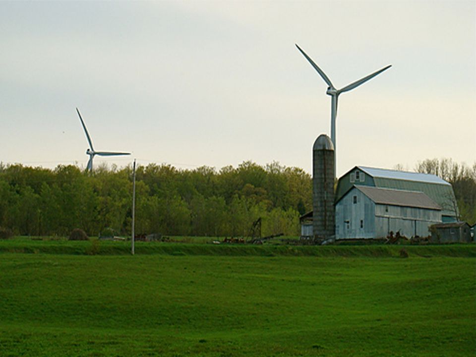
Farming and construction projects can increase erosion Contour plowing curves around a hill, rather than up and down the hillside, helping to slow water runoff and erosion.

10
Strip mining removes layers of soil to dig up minerals found in bedrock. When finished, engineers can even out the land, replace the soil and add plants People move more soil and rock than all rivers combined!

11
St. Lawrence/Champlain Lowlands: low-lying plain along the St. Lawrence River and Lake Champlain Adirondack Mountains: only true mountain region in NYS made up of resistant rocks Appalachian Uplands: NY’s largest region that is mostly flat layers of sedimentary rocks. Used to be the bottom of an ocean, pushed up over the years

12
The Finger Lakes: formed by a continental glacier which deepened and widened pre- existing valleys. As the glaciers melted, the till blocked outlets to the south forming the lakes The Erie-Ontario Lowlands: lie south of the Great Lakes with NY borders. Although it is a plains landscape, these lowlands have many hills composed of unsorted glacial till. Good soil, deposited and mixed by glaciers, and a climate moderated by the lakes makes this an important agricultural area

14
Tug Hill Plateau: small region of elevated sedimentary rock layers. Poor drainage caused by glacial deposits and abundant winter snowfall make this one of the least-inhabited areas in the state Hudson-Mohawk Lowlands/Plains: Follows a zone of easily eroded limestones and shales New England Highlands: a region of intensely folded and faulted metamorphic rocks.

16
Triassic Lowlands: a section of sandstones and shales deposited in a fault basin. This region is geologically younger than the surrounding highlands. An intrusion of basaltic magma was eroded by the Hudson River, forming the high cliffs of the Palisades. Atlantic Coastal Plain: largely composed of glacial sediments. The land south of the moraines of LI is composed of sorted material wasted out of glaciers.

Similar presentations


 and composition of the landscape.>")


