Download presentation
Presentation is loading. Please wait.

1
Matt Crawford KYTC Trans-GIS Conference Frankfort, KY March 29 th, 2012

2
database

4
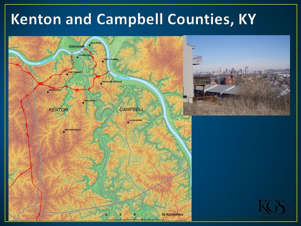
Natural geology, topography, and decades of slope modification make this area susceptible to landslides…recurring landslides Example costs: KYTC Maintenance Database total costs, 2003-2009 – approx. $1.4 million 68 KYTC Landslide Geotechnical Project Reports (1973-present) in Kenton and Campbell – unknown cost April-May 2011 storms cost KYTC District 6 over $4 million FEMA is about to submit a letter of intent for a 2.5 million dollar stabilization project in Bellevue, Ky. Campbell Co.
 in Kenton and Campbell – unknown cost April-May 2011 storms cost KYTC District 6 over $4 million FEMA is about to submit a letter of intent for a 2.5 million dollar stabilization project in Bellevue, Ky. Campbell Co..")
5
From the Newport and Withamsville quadrangle by Gibbons (1973): “The shale of the Kope Formation slumps readily when wet. Structures built on the Kope should be provided with adequate drainage and oversteepened slopes should be avoided.” From Potter, 1996

6
Purpose: develop a methodology for using LiDAR data in the geologic setting of Kenton and Campbell Co. and document preexisting landslides. Modeled after other states: OR, WA LiDAR data provided by the NKAPC Grant from the USGS Landslides Hazards Program LiDAR Project

7
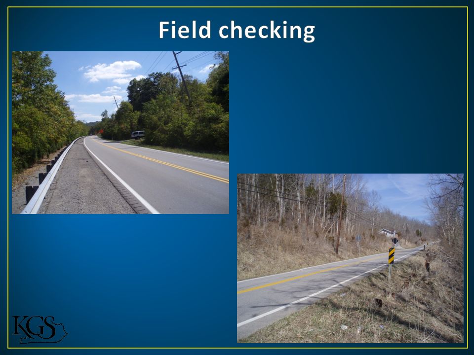
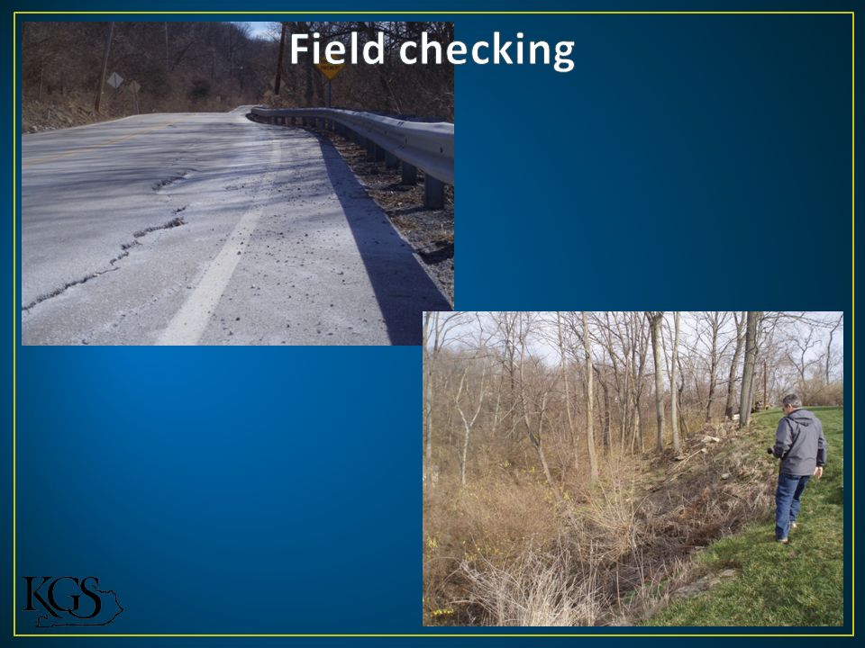
Methodology Used Quick Terrain Modeler to create hillshade DEM’s from the LAS files Add DEM’s to ArcMap for visualization, spatial analysis, and digitization Systematic panning looking for Hummocky surface Steep scarp, flanks Thick toe Concavity Reexamined potential landslides in QTM Performed field checking

8
Topographic contours 1:24,000-scale geology Slope Leaf-off aerial photography Roads Bing!

9
Landslide example: LiDAR derived hillshade DEM with 2ft contours ~450 ft down axis of slide

10
Landslide example: LiDAR derived hillshade DEM ~750 ft down axis of slide

11
Landslide example: LiDAR derived hillshade DEM with 2 ft contours ~280 ft down axis of slide

12
Landslide example: Reexamination of landslide with QT Modeler

13
230 potential landslide extents digitized (polys) Approximately 10% were initially attributed with high confidence, rest were questionable LiDAR hillshade geomorphology, geology, and proximity to urbanized areas dictated classification…subjective 20% (about 45) of these landslides were field checked 20 were confirmed 18 were likely or observed but could not be determined 7 were not accessible
 Approximately 10% were initially attributed with high confidence, rest were questionable LiDAR hillshade geomorphology, geology, and proximity to urbanized areas dictated classification…subjective 20% (about 45) of these landslides were field checked 20 were confirmed 18 were likely or observed but could not be determined 7 were not accessible")
16
Project successfully used LiDAR for identifying potential landslide extents Able to map potential slides in areas not accessible by roads. Urbanization of Kenton and Campbell Counties made visualization difficult and probably masked many existing slides Project was limited by time and ability to field check landslides identified

17
Indication of future failure!!?? As Kentucky acquires more LiDAR, similar projects will be very beneficial in other landslide prone parts of the state.

18
Thanks! Matt Crawford mcrawford@uky.edu

Similar presentations


 Surveys>")


