Download presentation
Presentation is loading. Please wait.

2
Mrs. McCarthy’s MCAS Review Earth Science

3
7 th Grade Curriculum –Mapping the Earth –Earth’s Structure –Heat Transfer –Earth’s History –The Earth in the Solar System

4
Mapping the Earth Recognize, Interpret, & Create models of Earth’s Features with Mapping. Topographic Maps show the elevation of an area of land using contour lines.

5
Earth’s Structure The Layers of the Earth Crust- Solid, Oceanic & Continental Mantle- Largest Layer with lithosphere & asthenosphere; convection currents Outer Core- Liquid Molten Metal Inner Core- Dense; Solid; Iron

7
Heat Transfer Heat moves in predictable ways from warm objects to cooler objects Heat Energy Moves in 3 ways: Conduction Convection Radiation

8
Conduction :occurs when energy is passed directly from one item to another

9
Convection Convection : movement of gases or liquids from a cooler spot to a warmer spot. Examples- Air Masses, Earth’s Mantle; Ocean

10
Convection Convection : movement of FLUIDS (GAS OR LIQUID) cooler warmer from a cooler spot to a warmer spot.BOILING WIND EARTH
 cooler warmer from a cooler spot to a warmer spot.BOILING WIND EARTH")
11
Radiation :The sun's rays travel in straight lines called heat rays. When sunlight hits the earth, its radiation is absorbed or reflected. Darker surfaces absorb more of the radiation and lighter surfaces reflect the radiation.

12
What are the 3 major factors that effect a region’s climate?

13
1. Latitude Locations closer to Earth’s equator will be warmer Locations closer to Earth’s poles will be cooler

14
2. Elevation Higher elevations such as mountain peaks will be cooler than low elevations such as valleys

15
3. Distance to Coast Coastal regions near Earth’s oceans will be effected by water temperature and ocean breezes Why?: Because water holds its temperature longer than air and land Example: Cape Cod is usually warmer than the rest of Massachusetts in the winter and cooler in the summer because it is surrounded by ocean water.

16
Earth’s History Millions of years ago all of Earth’s land masses were together in one large super continent called Pangaea. Over time Pangaea spread apart due to continental drift and sea-floor spreading. Today, we have 7 continents on Earth.

17
Evidence Evidence of the Continental Drift Theory include: Physical Evidence (Puzzle-like Continents) Fossil Evidence Glacial Evidence Climate Evidence Plant Evidence Africa South America
 Fossil Evidence Glacial Evidence Climate Evidence Plant Evidence Africa South America")
18
The Changing Surface In addition to plate tectonics, Earth’s surface is ever changing due to: –Earthquakes –Volcanoes –Weathering, Erosion & Deposition

19
Earthquakes occur when Earth’s plates shift and cause shaking on the surface Most Earthquakes occur at Plate Boundaries

20
A Tsunami is a tidal wave in the ocean caused by tectonic (Earthquake) movement of Earth’s plates.
 movement of Earth’s plates.")
21
Most volcanoes form at plate boundaries Diverging- mid ocean ridge, rift valley Converging- island arcs/ Mt. St. Helens Hot spots- not on a boundary- Hawaii

22
Rock is broken into smaller pieces by: Freezing & Thawing Release of Pressure Growth of Plants Action of Animals Water Abrasion

23
Earth in the Solar System All objects are affected by GRAVITY. Gravity’s force is stronger on larger objects. Our solar system is held together by the Sun’s gravity. The Sun’s gravity keeps the planets orbiting around it.

24
Just as the planets orbit around the sun due to the Sun’s strong gravity, the moon orbit’s Earth due to Earth’s Gravity. The moon rotates on its axis and revolves around Earth at the same rate, that’s why only one side of the moon is visible from Earth.

25
Phases of the Moon Lunar Phases The Moon appears to go through a complete set of phases as viewed from the Earth because of its motion around the Earth, as illustrated in the following figure.

26
Lunar Eclipses During a Lunar Eclipse, the Sun, Earth, & Moon align so that the moon is not reflecting any of the Sun’s light. The moon is not visible from Earth at this time.

28
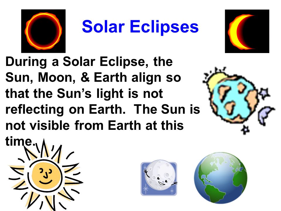
Solar Eclipses During a Solar Eclipse, the Sun, Moon, & Earth align so that the Sun’s light is not reflecting on Earth. The Sun is not visible from Earth at this time.

30
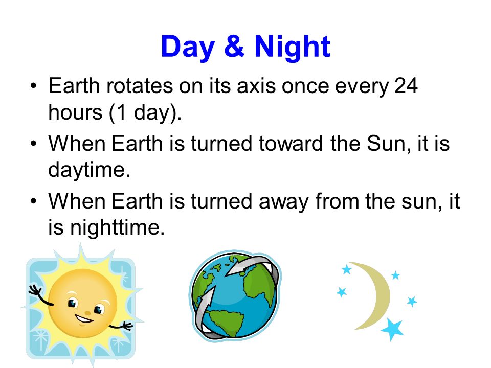
Day & Night Earth rotates on its axis once every 24 hours (1 day). When Earth is turned toward the Sun, it is daytime. When Earth is turned away from the sun, it is nighttime.

31
Earth revolves around the sun once every 365 ¼ days (1 year). When the Northern Hemisphere is angled toward the Sun (direct rays), it is summer. When Northern Hemisphere is angled away from the sun (indirect rays), it is winter. Summer in N.H. Winter in S.H. Winter in N.H. Summer in S.H.
, it is summer. When Northern Hemisphere is angled away from the sun (indirect rays), it is winter. Summer in N.H. Winter in S.H. Winter in N.H. Summer in S.H..")
32
UNIVERSE GALAXIES SOLAR SYSTEMS PLANET

33
The Universe is made of billions of Galaxies Galaxies are made of billions of Stars We live in the Milky Way Galaxy The Sun is the only Star in Our Solar System We live on Planet Earth UNIVERSE GALAXIES SOLAR SYSTEM PLANET

Similar presentations


 A geocentric model,>")


