Download presentation
Presentation is loading. Please wait.

2
Mapping and GIS for the Internet Ruilan Shi Department of Geography McGill University Presented on June 1, 2001 on Carto2001

3
Contents ArcIMS Features ArcIMS Architecture Tech Specs Quick demo using ArcIMS Manager

4
ArcIMS Features Why ArcIMS ? Integrate local and Internet data Easily create, design, and manage Web sites Maximize your data investment Provide Access to GIS data and services Powerfully intelligent clients Highly scalable server architecture Advanced portability options

5
ArcIMS Architecture

6
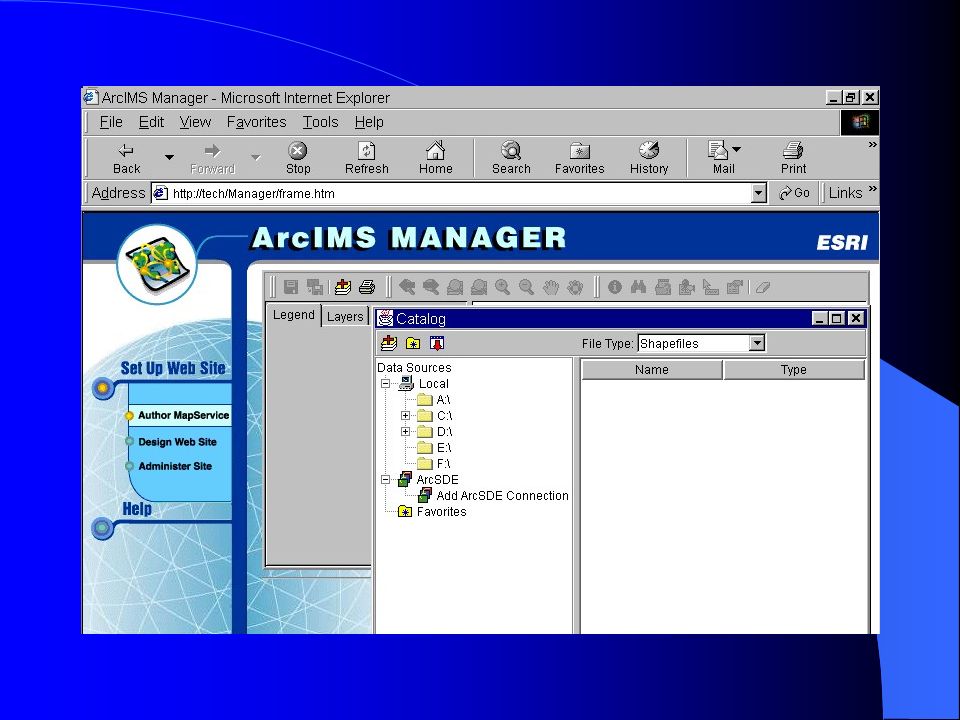
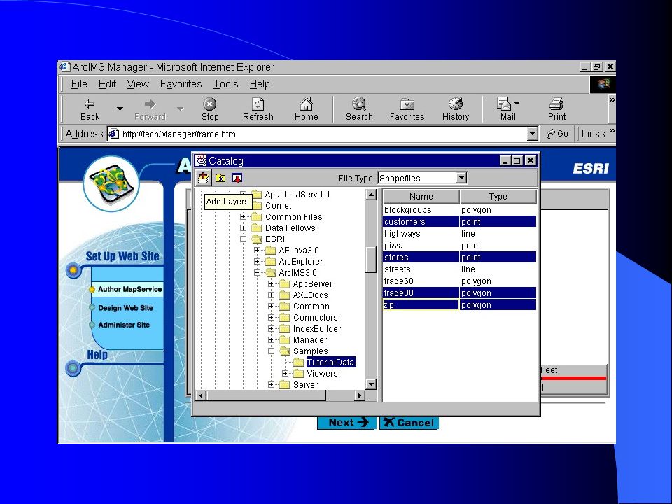
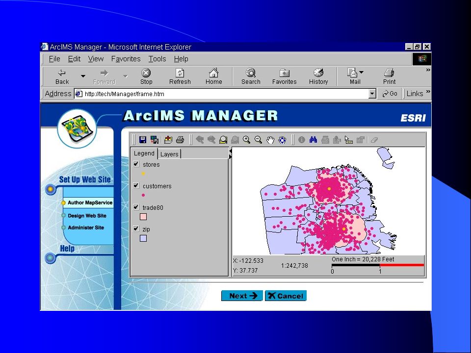
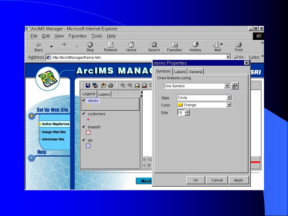
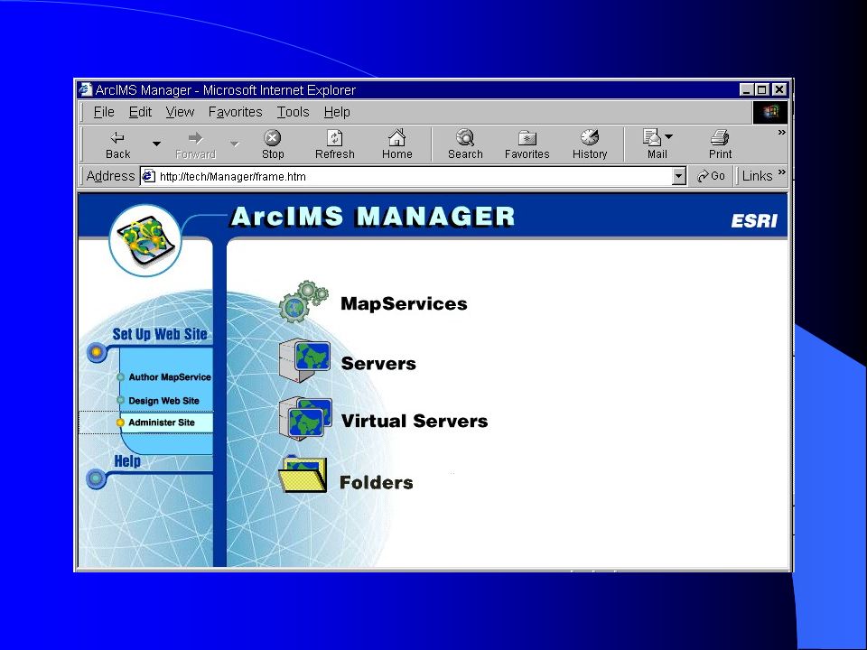
ArcIMS Manager Author MapServise files Design web pages Publish MapServises and administer ArcIMS Spatial servers

7
Application Server & Connector ArcIMS Components

8
Spatial Server Image Rending: generates and send maps to Web browsers as JPEG, PNG, or GIF images Feature Streaming: sends shapefiles and ArcSDE data sets in a compressed binary format to a Java Applet in the client Web browser. Query: returns associated data for spatial and tabular queries. Geocoding: locates addresses on maps. Data Extraction: returns data in shapefile format

9
How ArcIMS Communicates ?

10
Tech Specs Supported Platforms Windows NT 4.0 Intel with SP4, 5, 6A Solaris 2.6 Solaris 7 Solaris 8 Supported web browsers Internet Explorer 4.0 Internet Explorer 5.0 Netscape 4.5, 4.61 and 4.7

11
Tech Specs (cont.) Supported Web Server and Java Servlet Engines PlatformsWeb ServerServlets WinNT Server Microsoft IIS Jrun, Servlet Exec WinNT Server Workstation Solaris Netscape Enterprise Server and iPlanet Native Servlet WinNT Server Workstation Solaris ApacheJServ
 Supported Web Server and Java Servlet Engines PlatformsWeb ServerServlets WinNT Server Microsoft IIS Jrun, Servlet Exec WinNT Server Workstation Solaris Netscape Enterprise Server and iPlanet Native Servlet WinNT Server Workstation Solaris ApacheJServ")
12
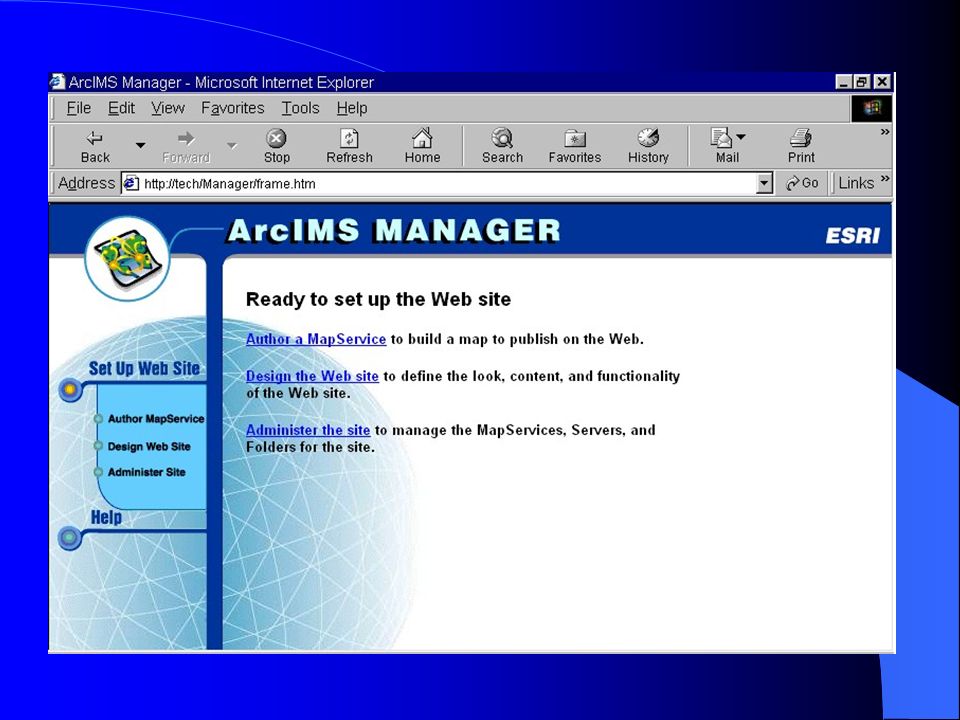
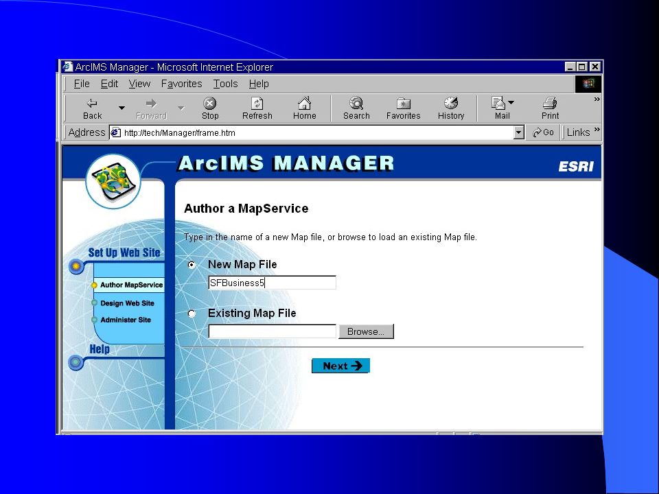
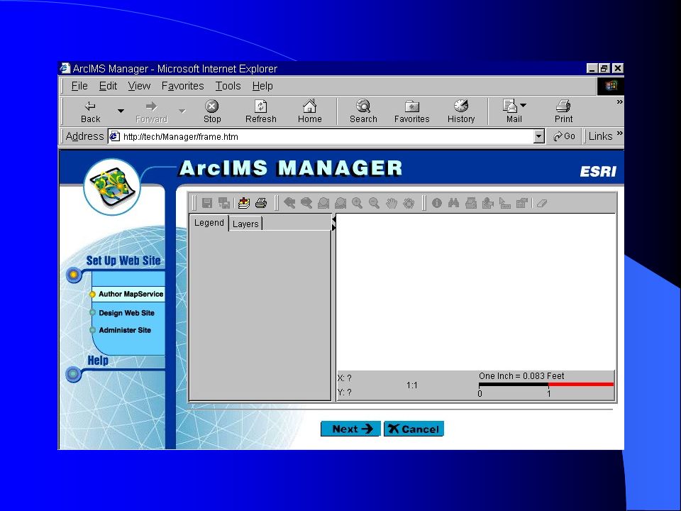
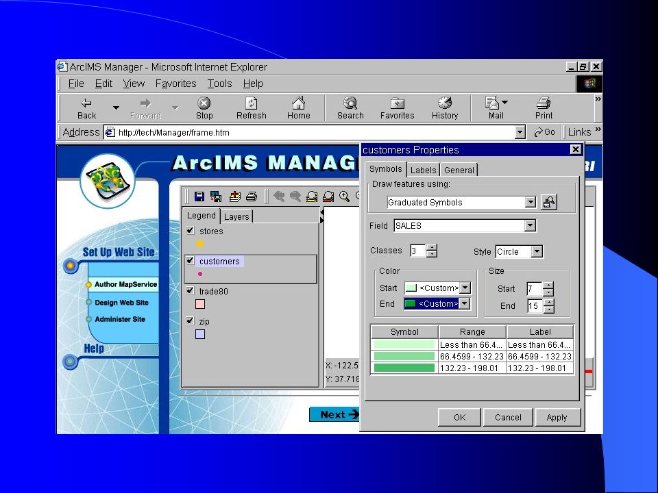
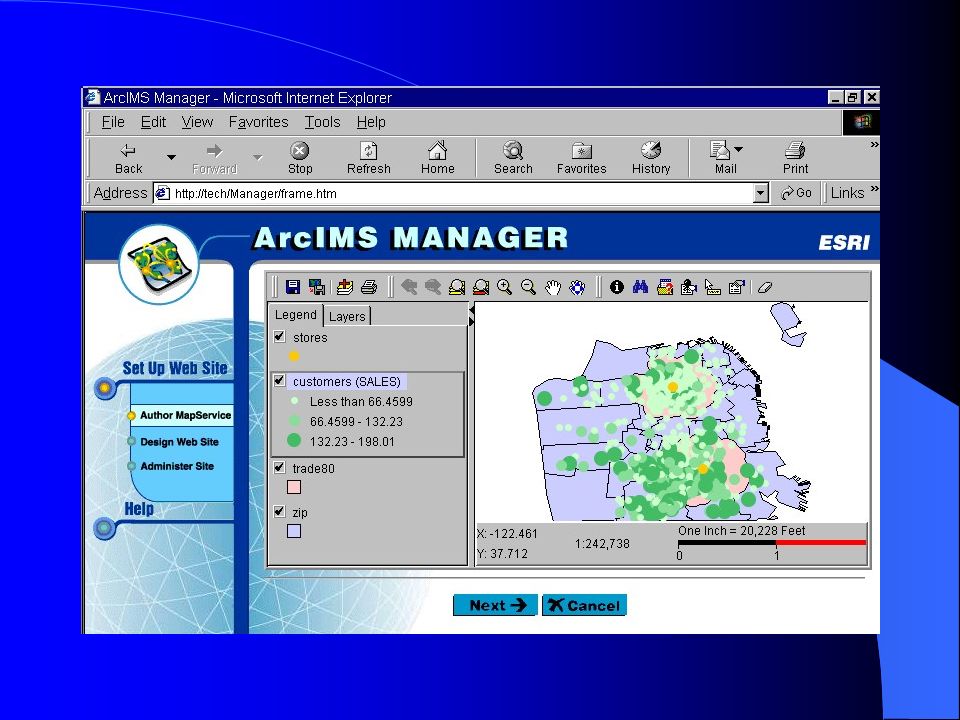
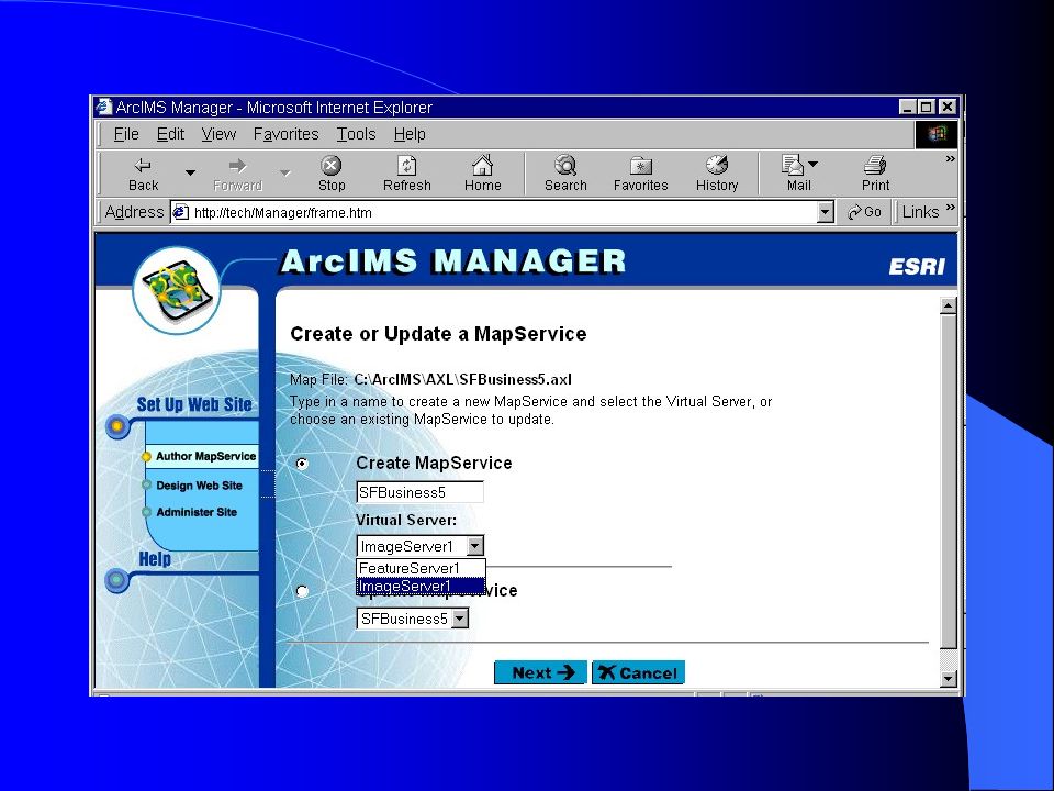
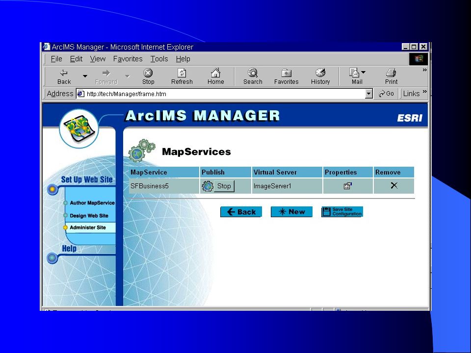
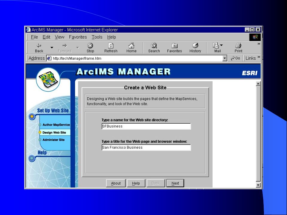
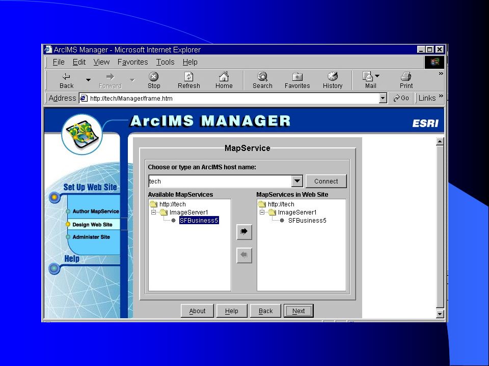
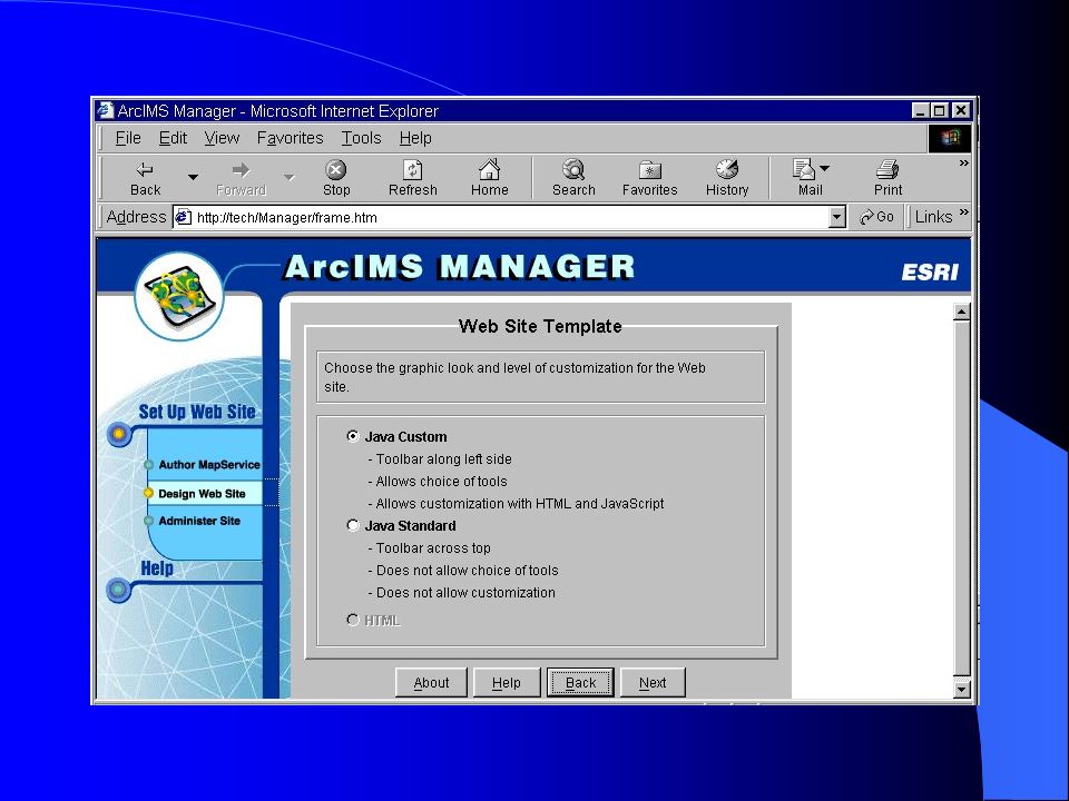
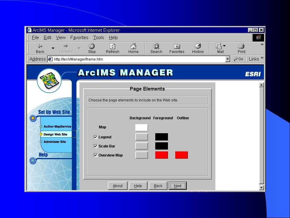
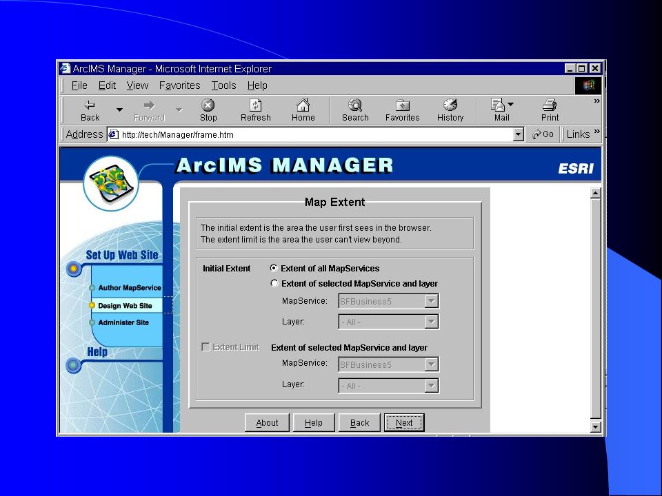
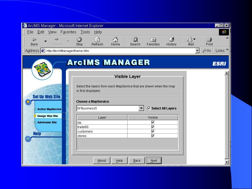
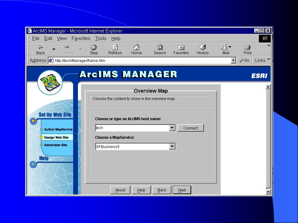
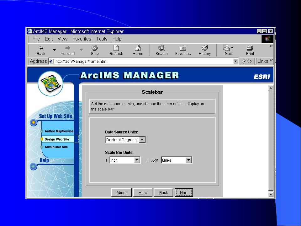
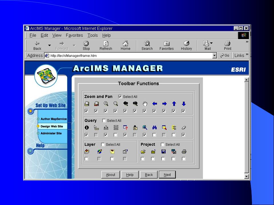
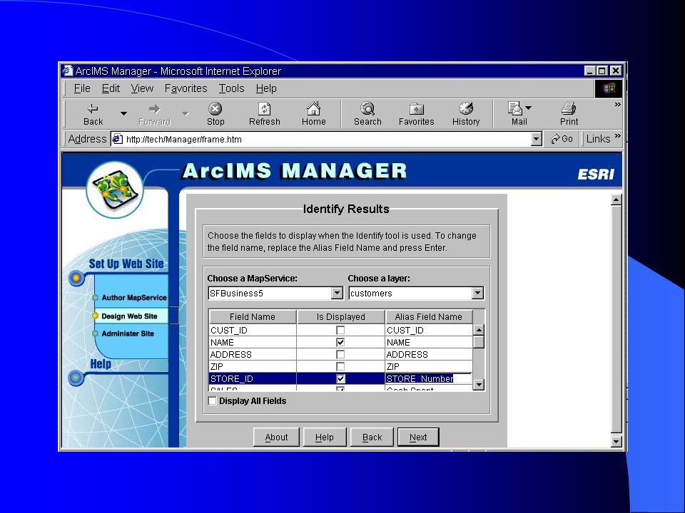
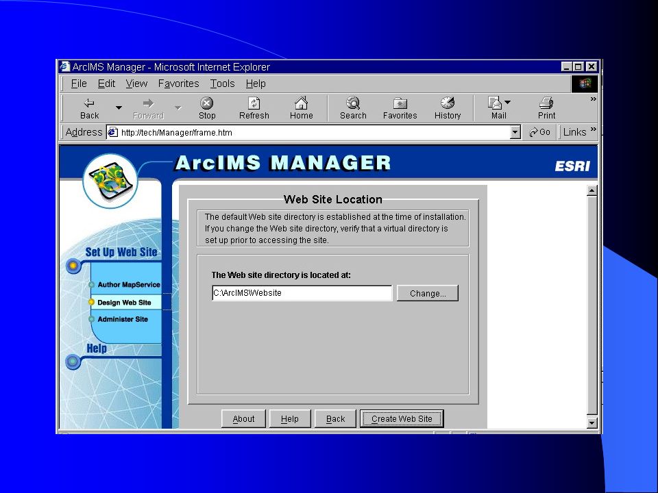
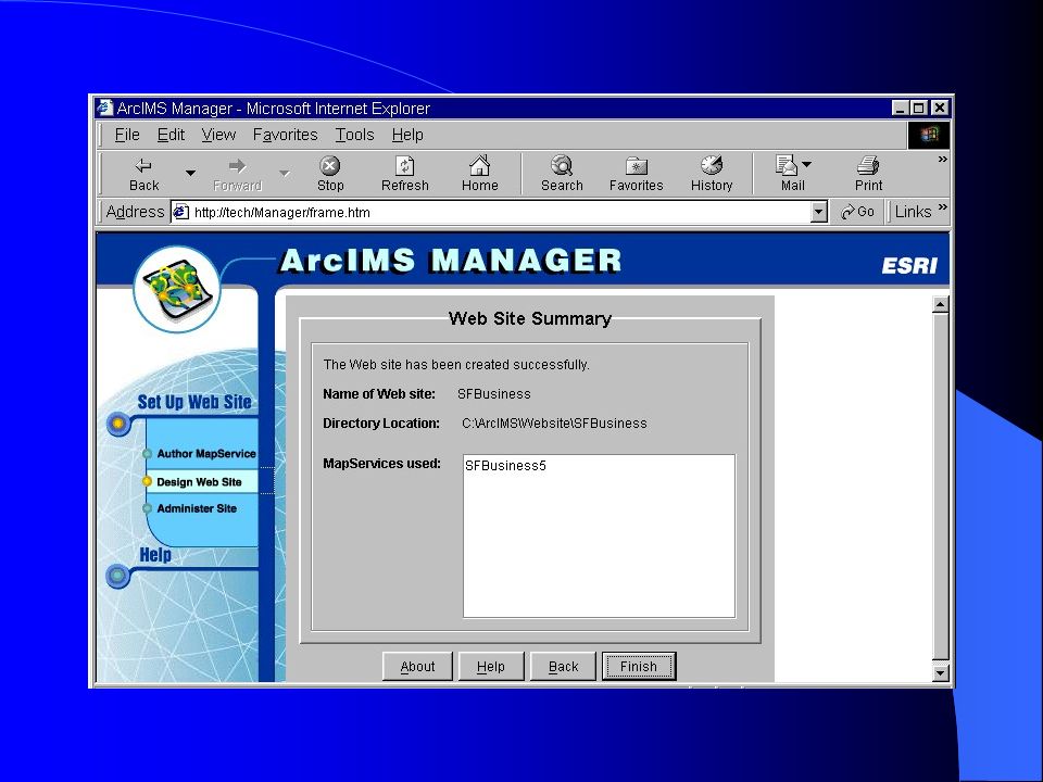
Quick demo using ArcIMS Manager

42
Acknowledgments http://www.esri.com/software/arcims/index.html overview of ArcIMS http://www.esri.com/library/whitepapers/arcims_ lit.html architecture Security Features & functions ArcIMS vs. ArcView IMS, MapObject IMS Thank You ! shir@geog.mcgill.ca

Similar presentations


 View from everywhere, edit from one.>")


 Multimedia GIS (http://geoinfo.sdsu.edu/mediaGIS)>")


>")
 Introduction to GIS and ArcGIS 1 of 48.>")

