Download presentation
Presentation is loading. Please wait.

1
The Geospatial Industry Workforce Information System Presented to the National Geospatial Advisory Committee December 8, 2010

2
U.S. Department of Labor Grant “Defining and Communicating Geospatial Industry Workforce Demand”

3
U.S. Department of Labor Grant $ 700,000 Grant (plus In-Kind support) 18 Months (from July 2005 – December 2006) In collaboration with the American Association of Geographers (AAG) Partnerships with: –Wharton Business School –University of Southern Mississippi –National Association of Workforce Boards, NASWB –Geospatial Industry Associations –Universities and Community Colleges –Private Sector Companies, and –Many more!
 18 Months (from July 2005 – December 2006) In collaboration with the American Association of Geographers (AAG) Partnerships with: –Wharton Business School –University of Southern Mississippi –National Association of Workforce Boards, NASWB –Geospatial Industry Associations –Universities and Community Colleges –Private Sector Companies, and –Many more!.")
4
U.S. Department of Labor Grant The five objectives of the grant included: Developing a constructive definition of the geospatial industry; Developing a Web-accessible server of industry, job, and educational information called GIWIS; Creating an industry image and outreach campaign; Developing a local pilot program for using GIWIS; and Taking steps to ensure the sustainability of GIWIS and the outreach program.

5
U.S. Department of Labor Grant Phase One Report Recommendations: Adopt and Promulgate Proposed Industry Definition Employ Geospatial Market Segmentation Approach – Skills/Industry Matrix to Define Market Add Geospatial Technology Industry Standard Occupational Codes (start with GIS Analyst & Technician) Clarify Geospatial Skills And Competencies Implement Methodology to Help Meet Geospatial Workforce Needs
 Clarify Geospatial Skills And Competencies Implement Methodology to Help Meet Geospatial Workforce Needs.")
6
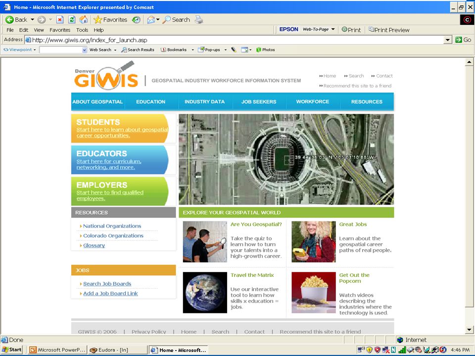
Geospatial Industry Workforce Information System Web-based interactive geospatial server for industry and job information, educational facilities and programs Current and future industry workforce demand on a geographic basis Use all available sources of industry and job information Based upon industry consensus and competency models

8
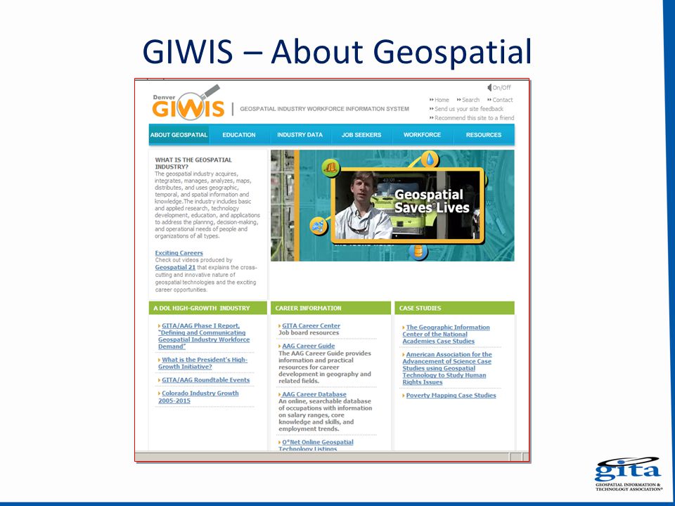
GIWIS – About Geospatial

10
GIWIS – Education

11
GIWIS – Industry Data

12
GIWIS – Job Seekers

13
GIWIS – Workforce

14
GIWIS – Resources

15
GIWIS Success Stories and Other Positive Developments In the six months following the GIWIS launch: –More than 1,500 visitors to the site every month –Nearly 400 teachers and students downloaded lesson plans and accessed geospatial information monthly from Denver area colleges and universities –There was a monthly average of 40+ job listings posted for geospatial positions in the metro Denver area

16
GIWIS Success Stories and Other Positive Developments In the six months following the GIWIS launch: –Over 20 schools took advantage of GITA’s Location in Education Program – many more nationwide –One metro WIB—Arapahoe/Douglas Works!— actively used GIWIS in its daily operations –Partnerships with contacts in Boston, Dallas, Honolulu, Seattle, and other cities to initiate efforts to implement GIWIS in these areas –Potential recognized for expansion to 9 WIBs in Front Range….the WIRED Initiative.

17
WIRED Initiative “Although global competition is typically seen as a national challenge, the front lines of the battlefield are regional – where companies, workers, researchers, entrepreneurs and governments come together to create a competitive advantage in the global economy.” Former Secretary of Labor Elaine L. Chao, December 2005, in a letter to US Governors

18
Workforce Innovation in Regional Economic Development City & County of Denver selected for $5 Million 3-Year Grant GITA Proposed to expand GIWIS to 9 counties in Front Range, serve as Metro Denver WIRED Portal (+10,000 hits on GIWIS) Partnered with XCEL Energy, Denver University, local community colleges, Arapahoe-Douglas Works! WIB Requested ~ $ 425,000…

19
Leftovers GIWIS Portal still active, but dated; URL is secured; Location in Education (GPS education kit) still functioning, GITA is maintaining and expanding Detailed Public Awareness and Outreach Plan for geospatial industry exists
 still functioning, GITA is maintaining and expanding Detailed Public Awareness and Outreach Plan for geospatial industry exists")
20
Thank You!

Similar presentations