Download presentation
Presentation is loading. Please wait.

1
GOES-R Proving Ground NOAA’s Hazardous Weather Testbed Chris Siewert GOES-R Proving Ground Liaison OU-CIMMS / Storm Prediction Center

2
2011 Spring Experiment 5-week period (9 May – 10 June) – During central plains peak severe weather season – Main focus on severe, QPF and CI 24 NWS forecasters and many visiting scientists participated 8 Proving Ground products demonstrated Real-time forecast and warning exercises using operational decision support tools – N-AWIPS, AWIPS and AWIPS-II Weather Event Simulator (WES) cases developed for training purposes
 – During central plains peak severe weather season – Main focus on severe, QPF and CI 24 NWS forecasters and many visiting scientists participated 8 Proving Ground products demonstrated Real-time forecast and warning exercises using operational decision support tools – N-AWIPS, AWIPS and AWIPS-II Weather Event Simulator (WES) cases developed for training purposes")
3
Total Lightning Detection Pseudo-Geostationary Lightning Mapper (PGLM) – Products available for 2011: Instantaneous flash extent density Instantaneous flash initiation density 60-minute max track 60-minute accumulated track – “The pseudo-GLM was very useful in that it focused attention on storm intensification, and was able to pick up on flash rates much earlier than the CG network.” – 52% EWP forecasters reported comfortable with PGLM following training
 – Products available for 2011: Instantaneous flash extent density Instantaneous flash initiation density 60-minute max track 60-minute accumulated track – The pseudo-GLM was very useful in that it focused attention on storm intensification, and was able to pick up on flash rates much earlier than the CG network. – 52% EWP forecasters reported comfortable with PGLM following training")
4
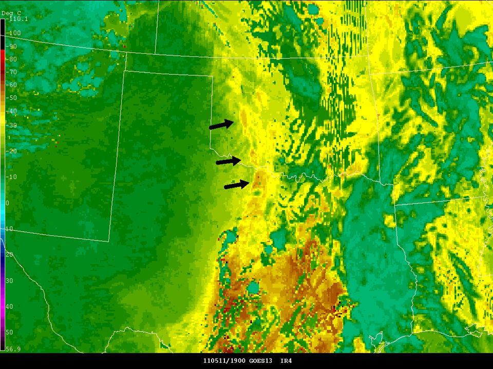
Convective Initiation SATCAST V.2 – Removed blue cloud identification confusing to forecasters… “The (SATCAST) performance was useful as a temporal signal... in the sense that enhanced 'regions' of growing cumulus. However, the Yes-No values were not useful, especially when values went back and forth from blue to red to blue. Consider adding more values, and the values themselves to allow forecasters to monitor these values and interpret these based on their own experience.” – 77% EWP forecasters reported using SATCAST during forecast/warning operations – 80% EWP forecasters reported comfortable with SATCAST following training

5
Convective Initiation cont’d UWCI / Cloud-top Cooling Rate – Added cloud mask at the request of forecasters from 2010 Spring Experiment – 71% EWP forecasters reported using UWCI during forecast/warning operations – 75% EWP forecasters reported comfortable with UWCI following training Overall – Created “Ultimate-CI” AWIPS 4-panel UWCI, SATCAST, PGLM, and MRMS reflectivity at -10 C – “Even though CI didn't always occur... false hits were useful in identifying clouds trying to break the cap.”

6
Simulated Satellite Imagery / Lightning Threat Produced from the 0Z 4km NSSL-WRF – All 9 non-solar ABI IR bands – Visible band – Band differences – Total lightning threat – Hourly output available for 12-36 hr forecast periods for imagery, 0-36 hr forecast periods for lightning threat – Most imagery available locally by 12Z

10
Differential Theta-E / PW Nearcast GOES sounder PW / theta-e fields advected using a Lagrangian model – Up to 9-hour forecast “I can see the utility in using this product to diagnose how convective instability is evolving with time (keeping its limitations in mind). However, I would rely more on trends than on raw numbers.” “Initial convection in area of responsibility was correlated with higher values as indicated by vertical precipitable water difference products.” – Also often utilized in 0-2 hour warning operations – 41% EWP forecasters reported using Nearcast during forecast/warning operations – 42% EWP forecasters reported comfortable with Nearcast following training

11
2011 Fire Weather Experiment 2-week period (22 Aug. – 2 Sept.) – During western US fire weather season – Main focus on dry thunder forecasting 6 NWS forecasters and several internal guests participated – SPC and Norman WFO 6 Proving Ground products demonstrated Real-time fire weather forecasts using N-AWIPS – Forecast 24-hour burnable fuels and dry thunder threat
 – During western US fire weather season – Main focus on dry thunder forecasting 6 NWS forecasters and several internal guests participated – SPC and Norman WFO 6 Proving Ground products demonstrated Real-time fire weather forecasts using N-AWIPS – Forecast 24-hour burnable fuels and dry thunder threat.")
12
NDVINDVI Change Surface Dryness Dryness Anomaly

13
Capturing Feedback GOES-R HWT Blog...http://goesrhwt.blogspot.c om/http://goesrhwt.blogspot.c om/ Web-based surveys – 51% EWP forecasters reported increased confidence in satellite products Only 5% reported decreased confidence Final reports – 2011 Spring Experiment available – 2011 Fire Weather Experiment in development

Similar presentations


>")


, W. Feltz (UW-CIMSS), J. Sieglaff (UW-CIMSS), L. Cronce (UW-CIMSS) Objectives Develop.>")
 J. Kelly, Jr. National Weather Service Infusion of Satellite.>")


 February 25–27, 2015 National Weather Center>")


