Download presentation
Presentation is loading. Please wait.

1
California Landform Regions a collection of panoramic maps created for the California Geographic Alliance by Dr. William Bowen Department of Geography California State University, Northridge

2
California Geographic Alliance Dr. Stephen Cunha - Director Department of Geography Humboldt State University Arcata, California http://www.humboldt.edu/~cga/ copyright 2002 California Geographic Alliance http://www.humboldt.edu/~cga/

3
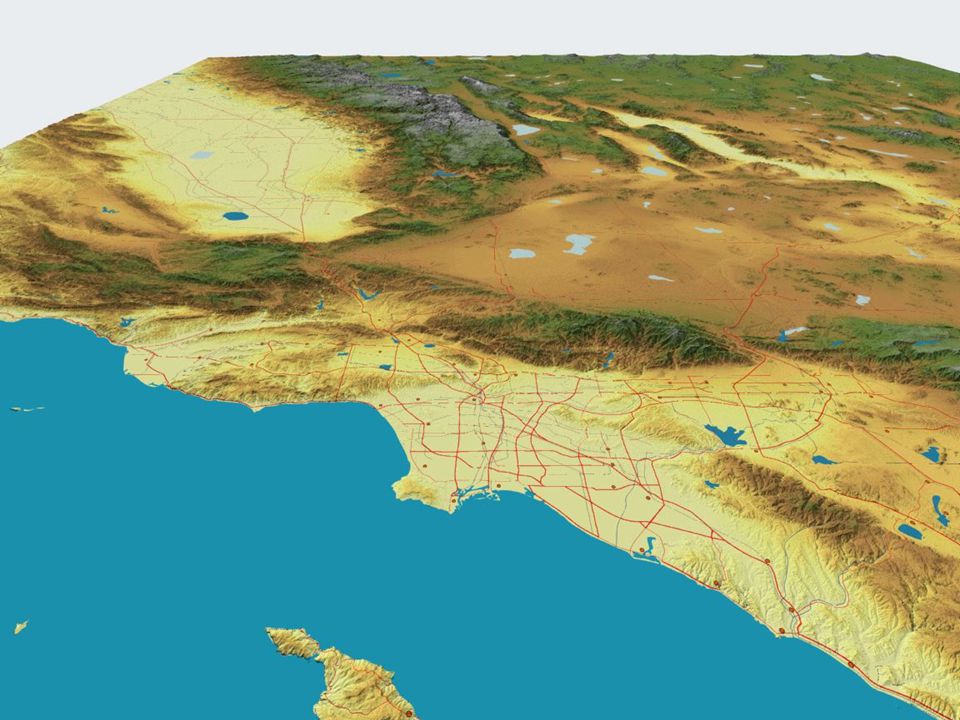
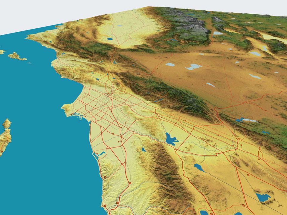
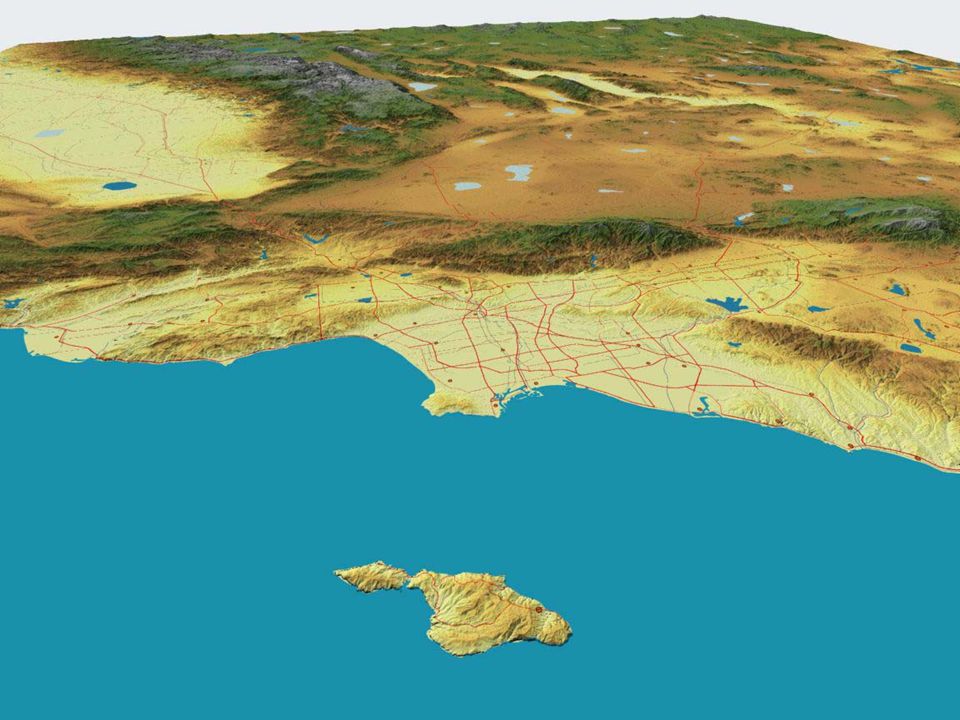
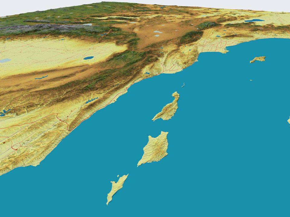
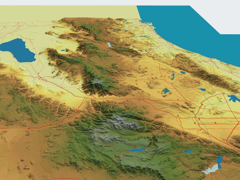
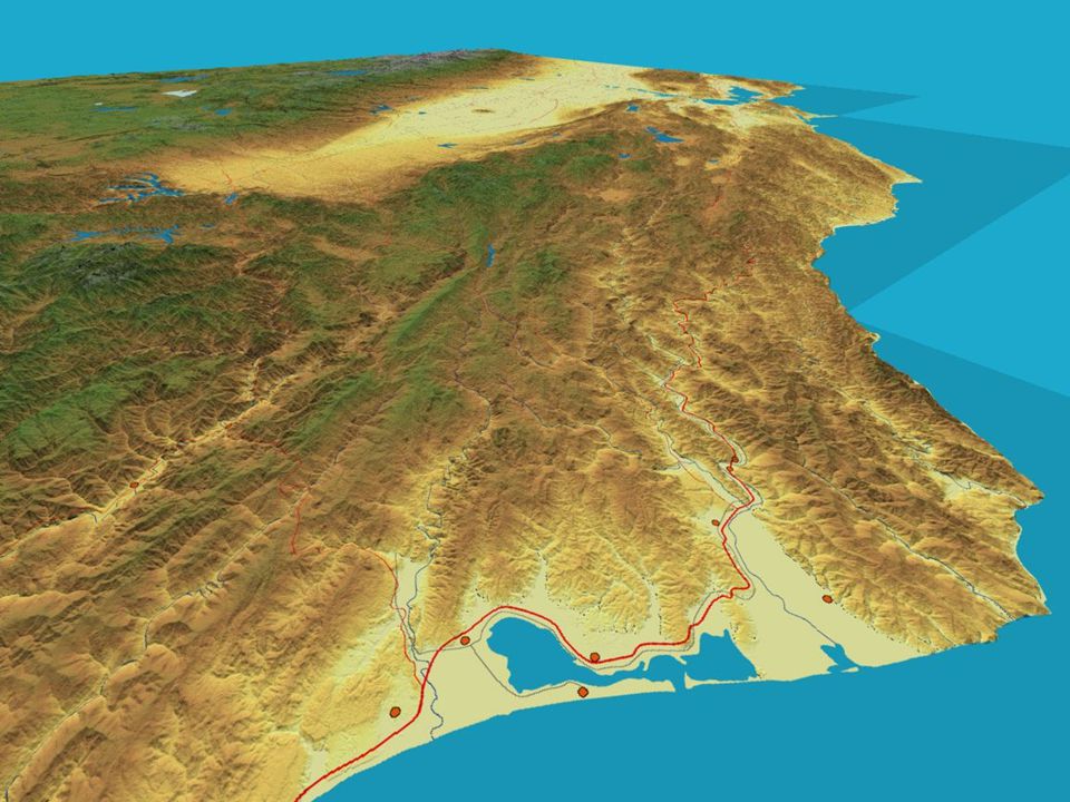
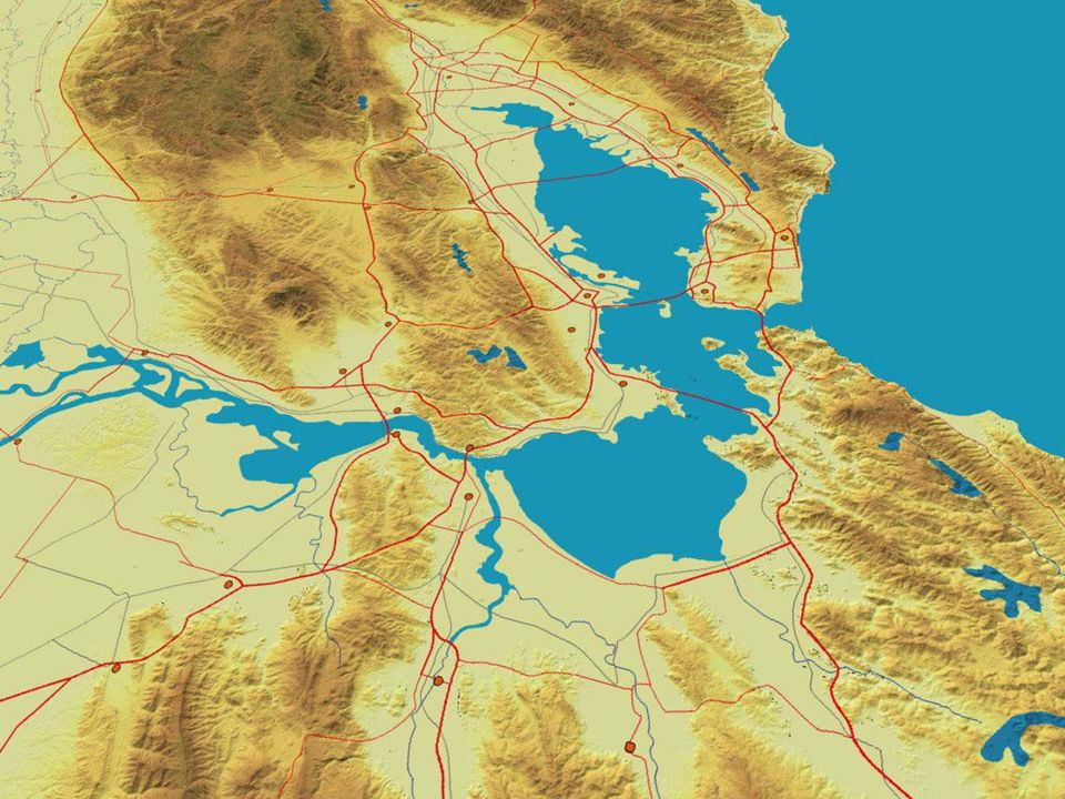
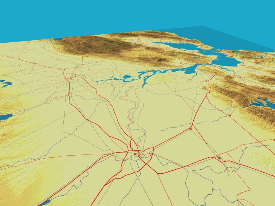
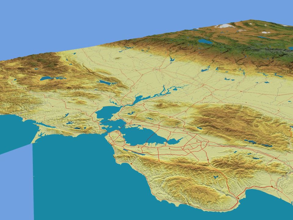
Los Angeles Basin

7
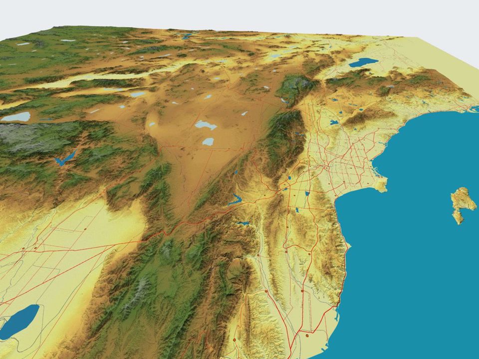
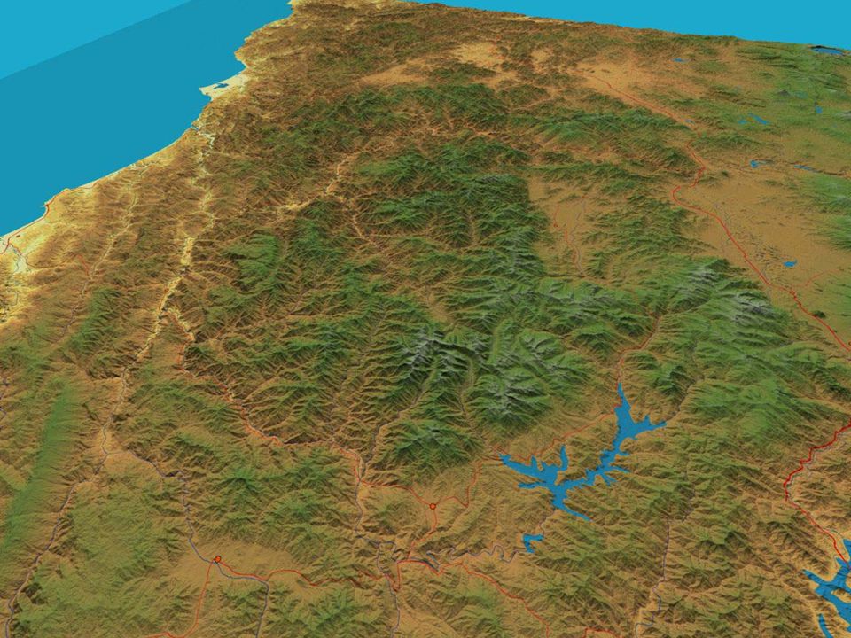
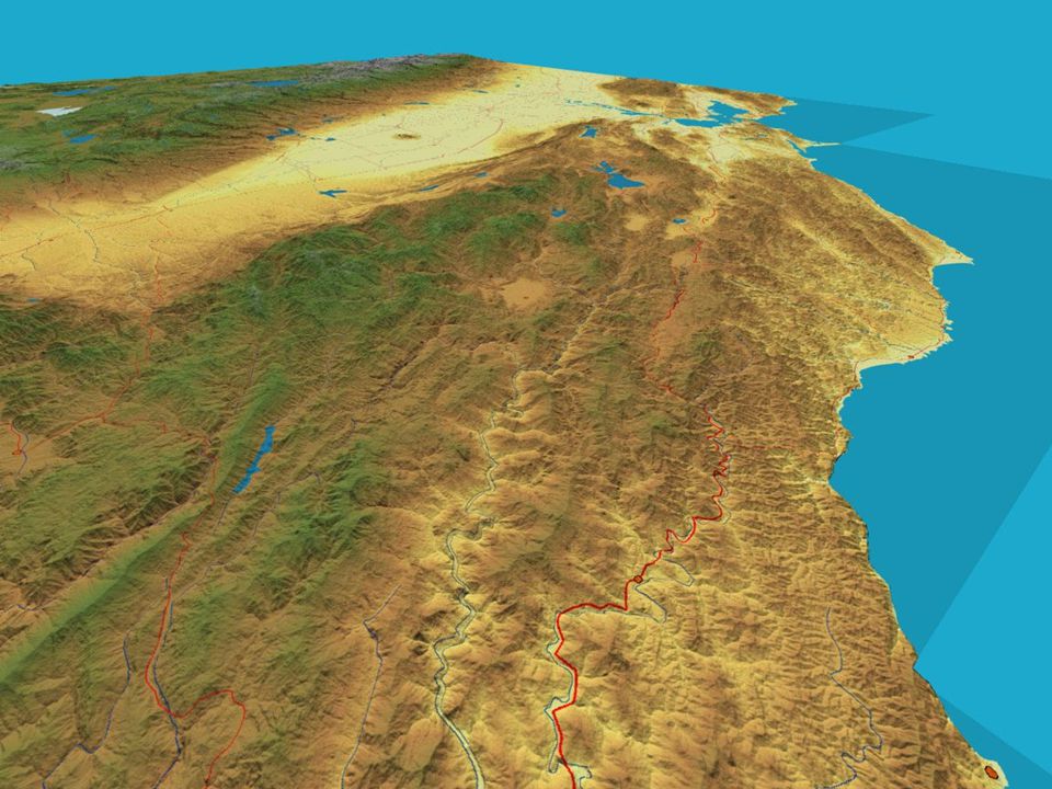
Transverse Ranges

12
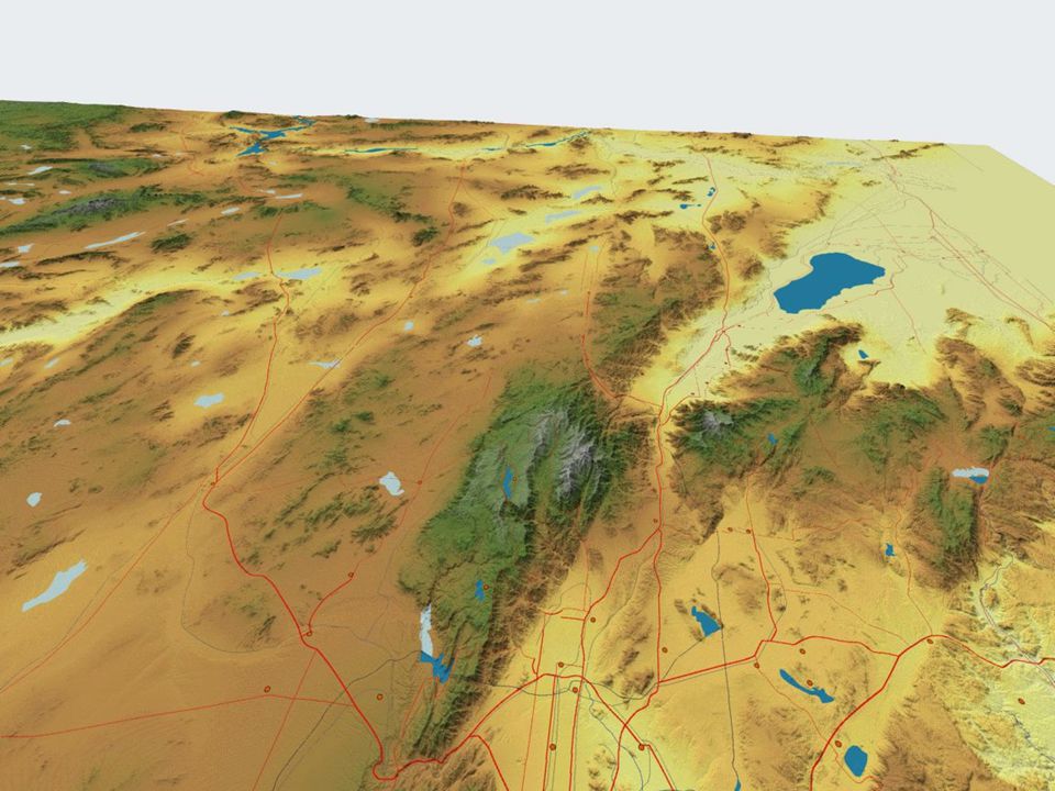
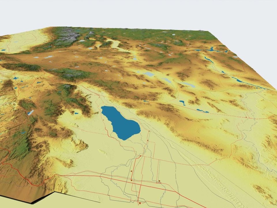
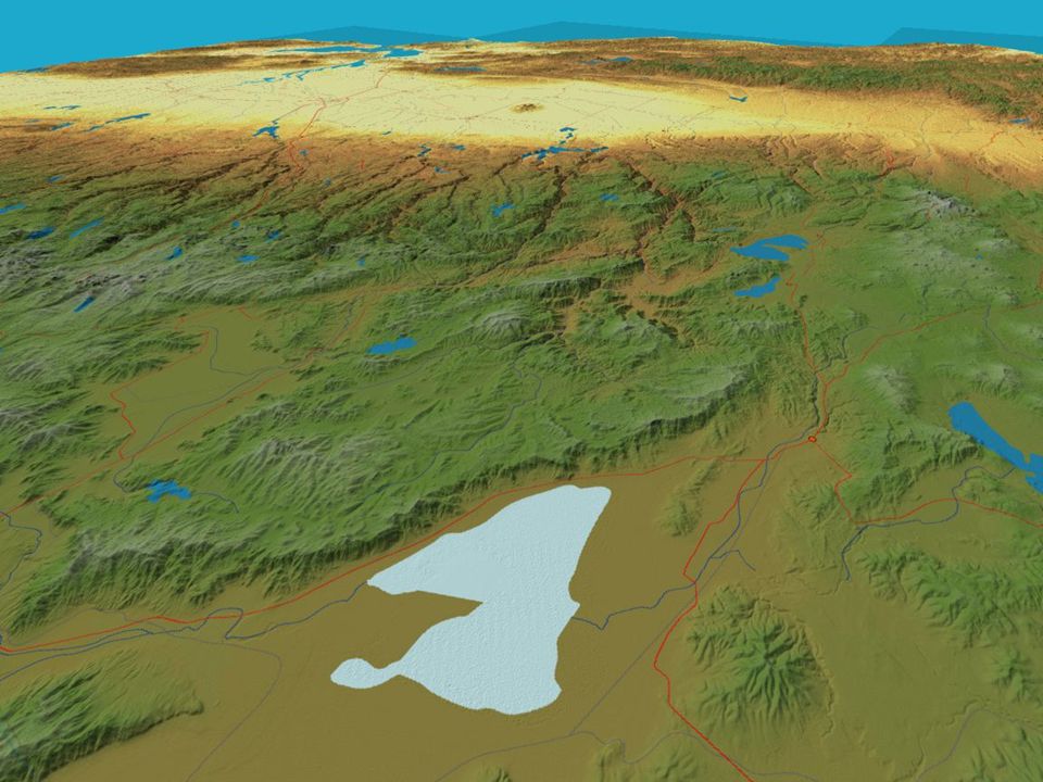
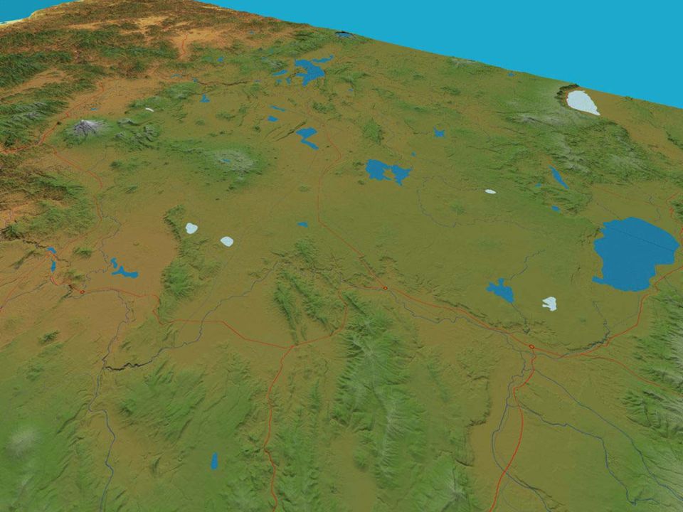
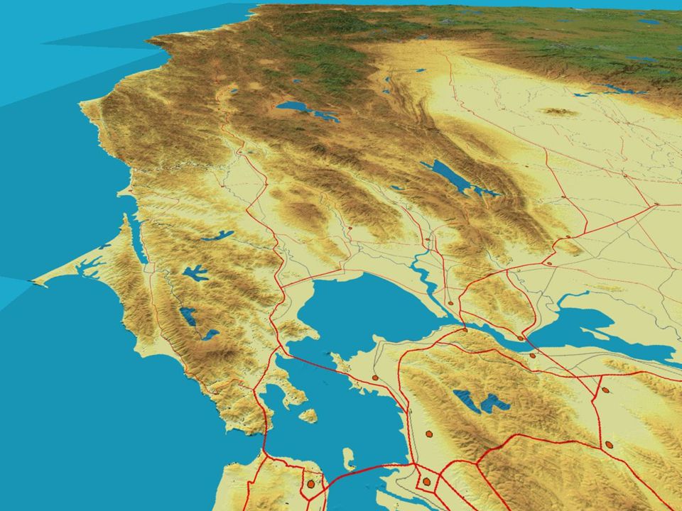
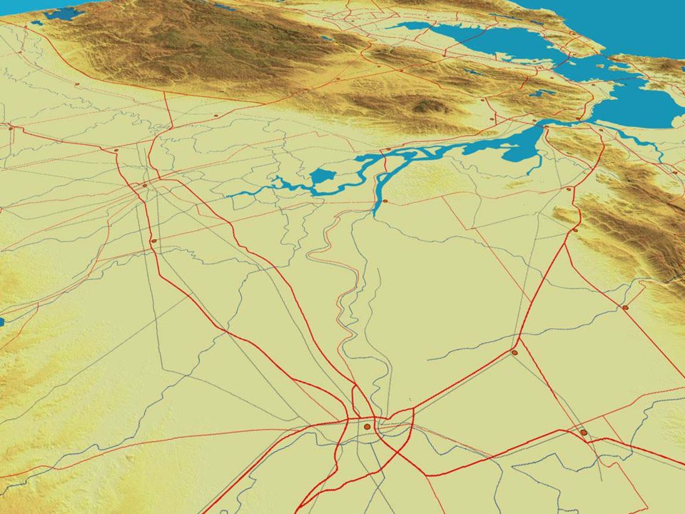
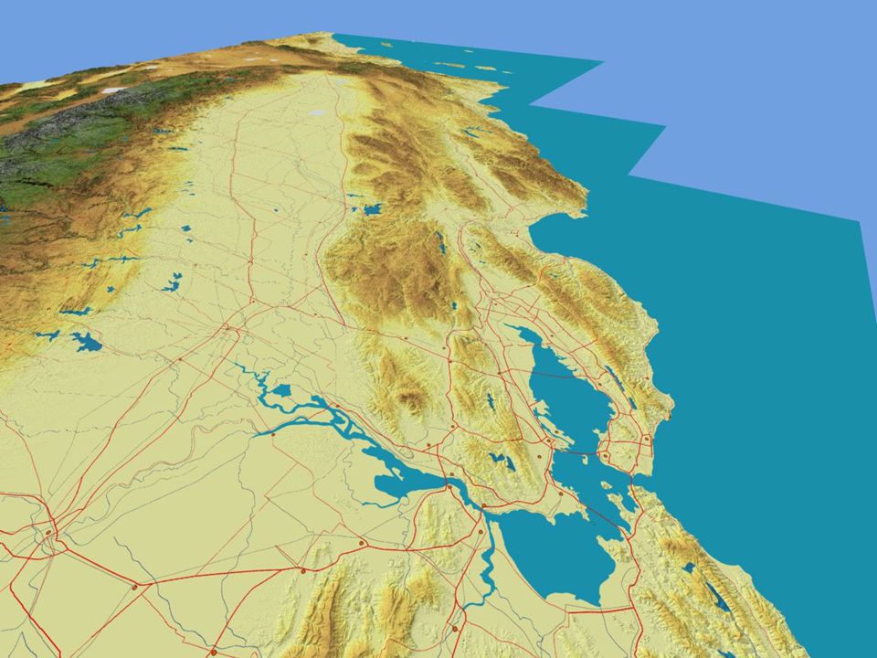
Salton Basin

15
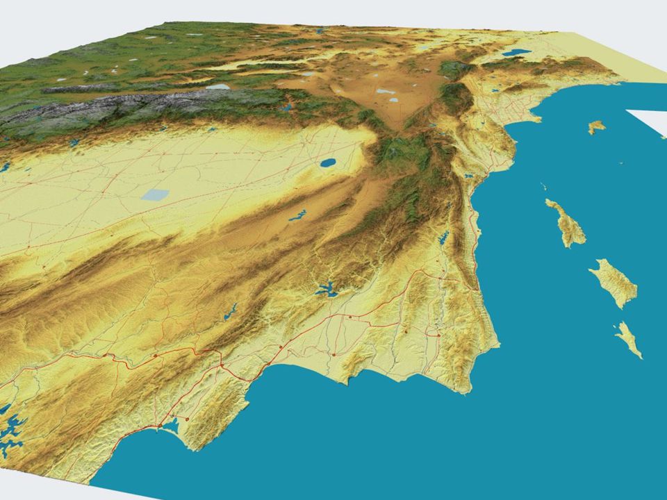
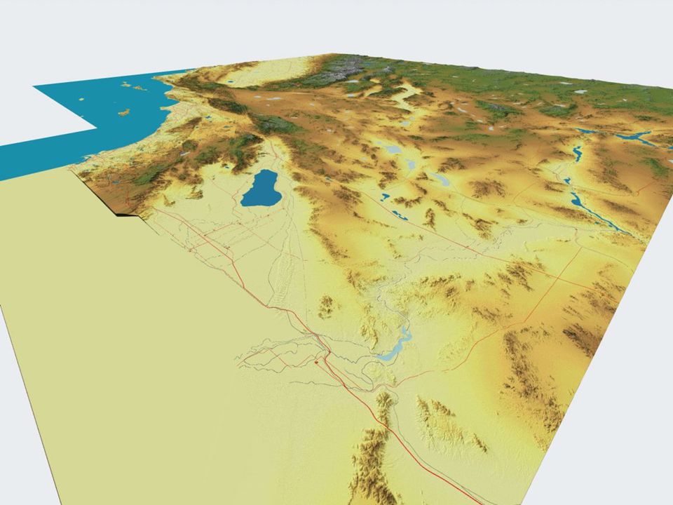
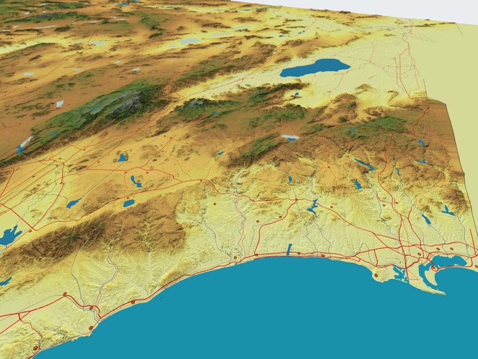
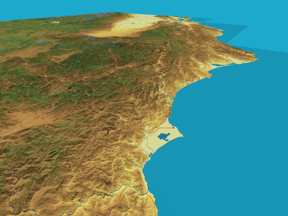
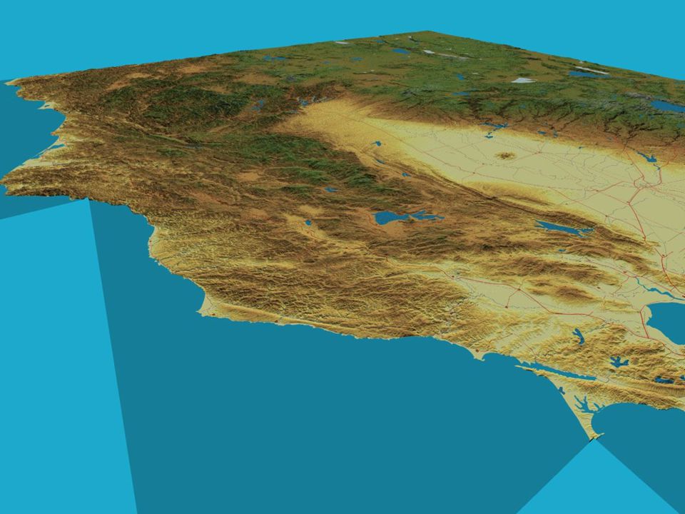
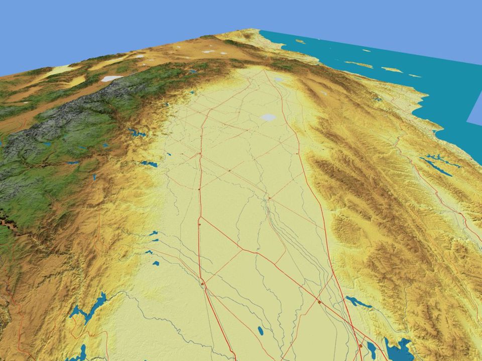
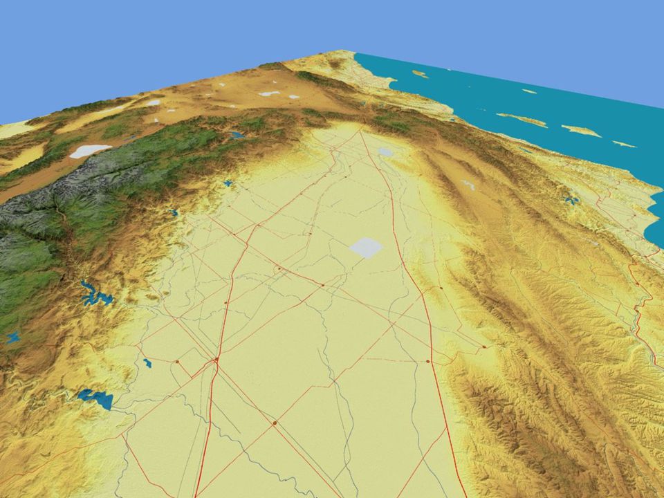
Peninsular Range

20
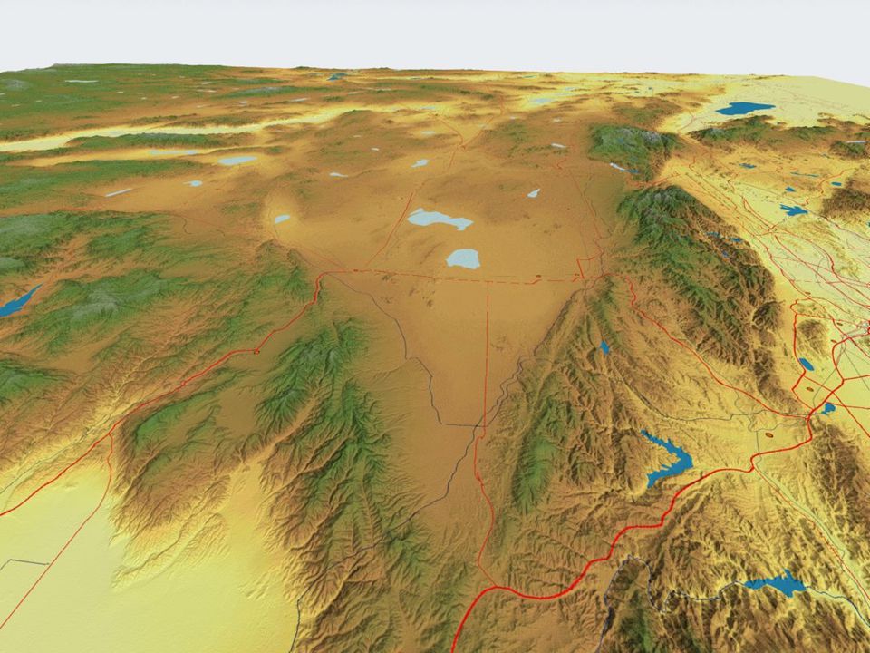
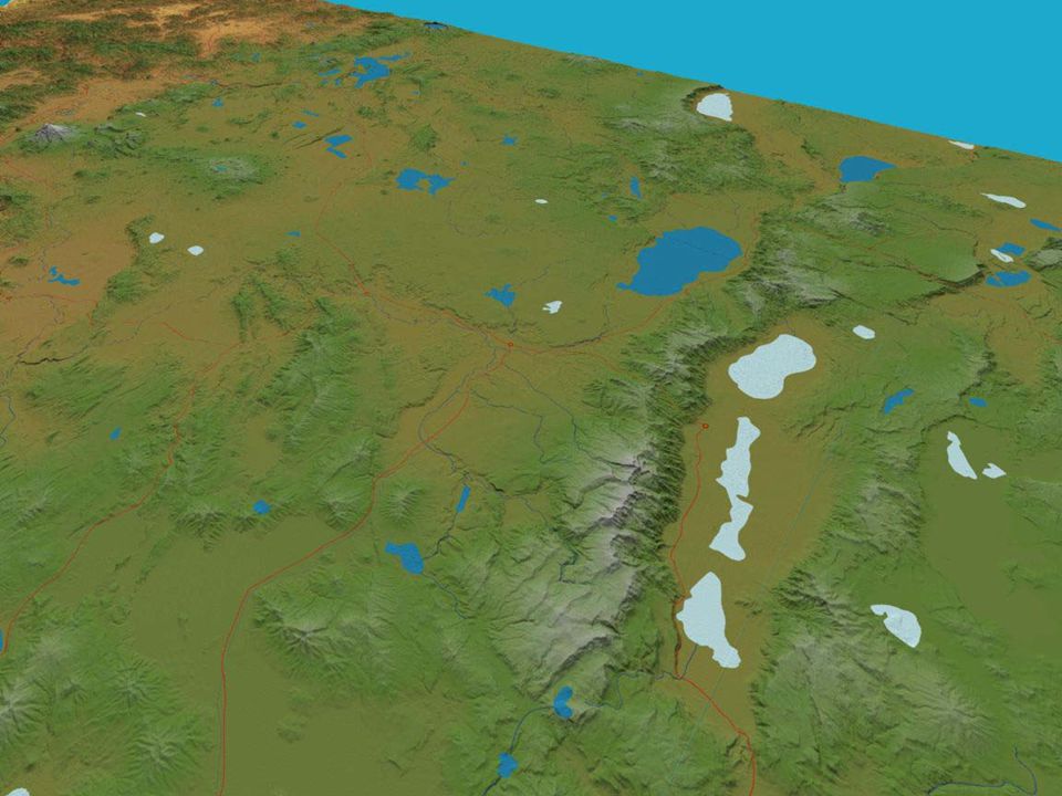
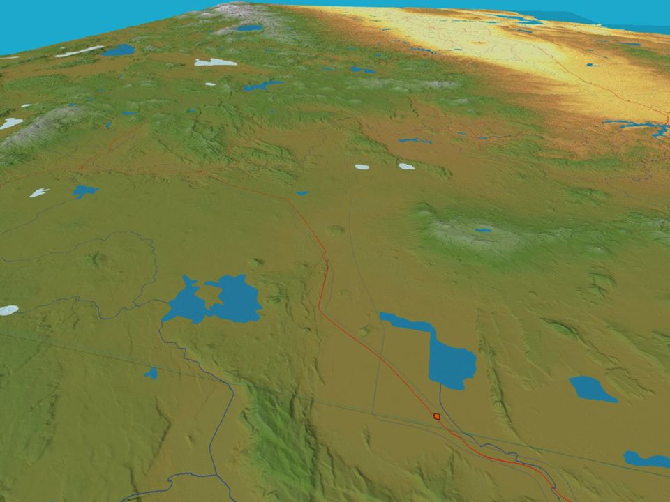
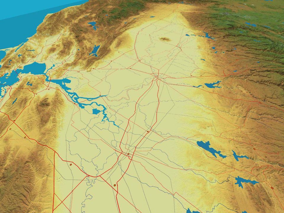
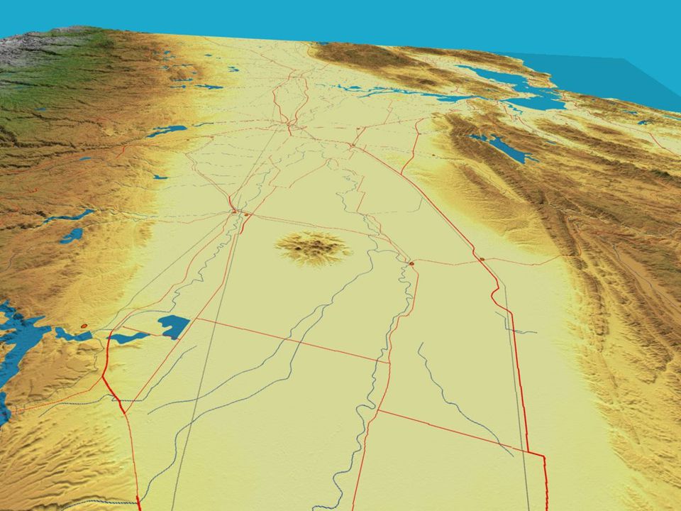
Mojave Desert

25
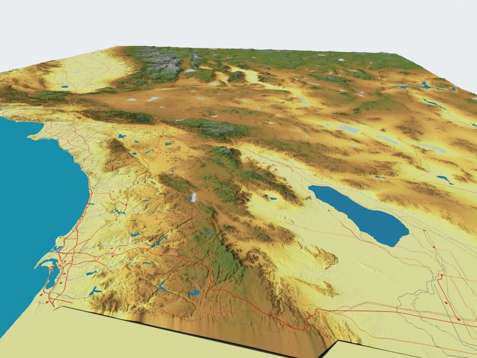
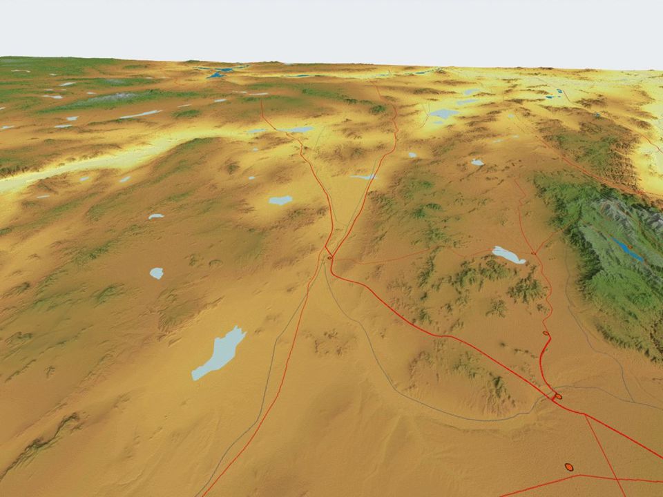
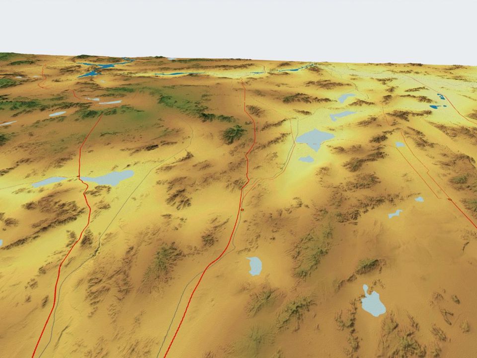
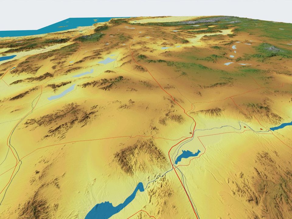
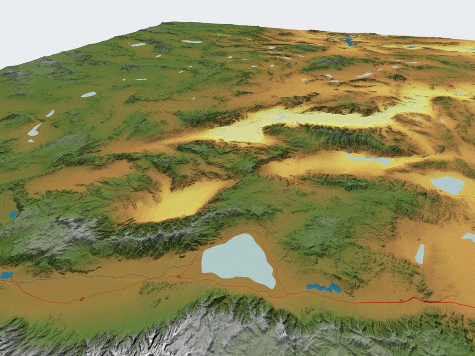
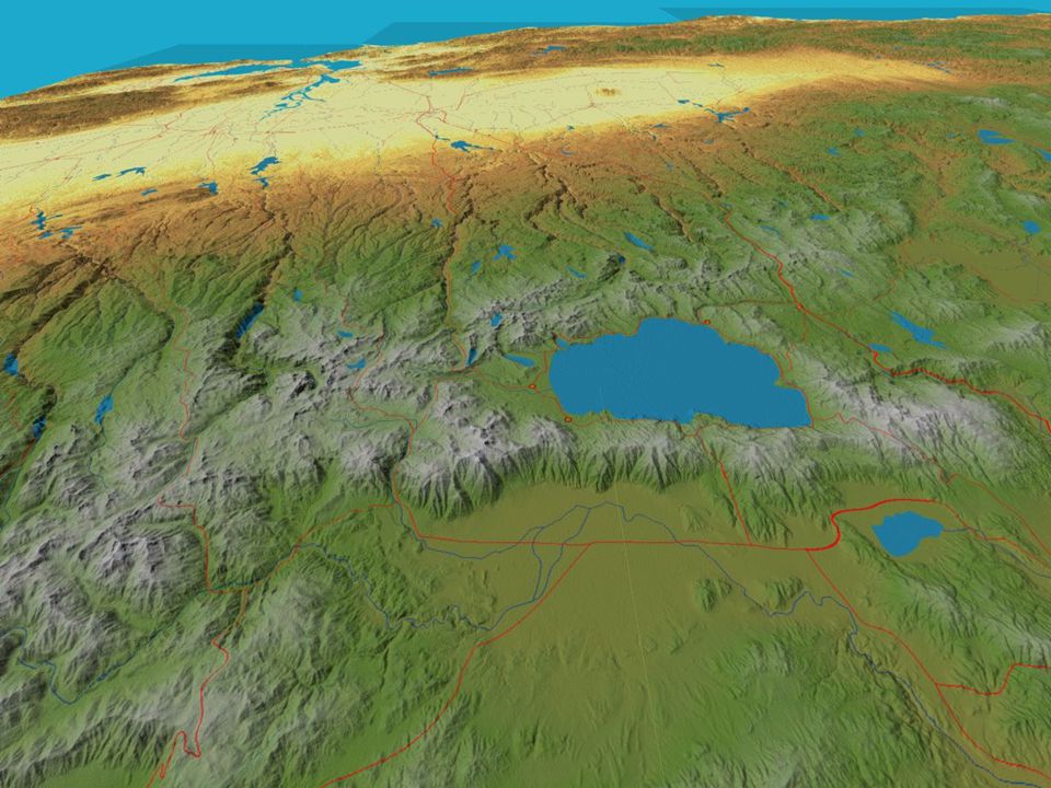
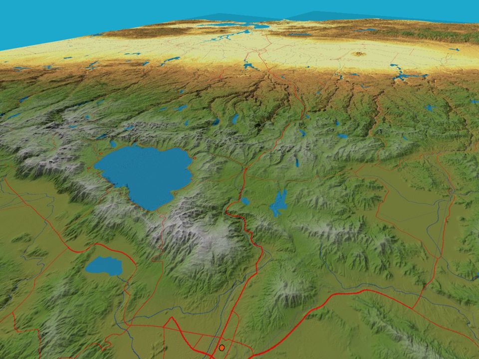
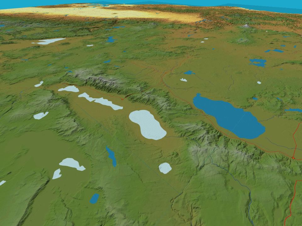
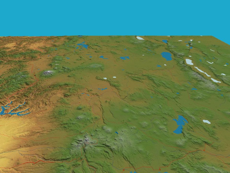
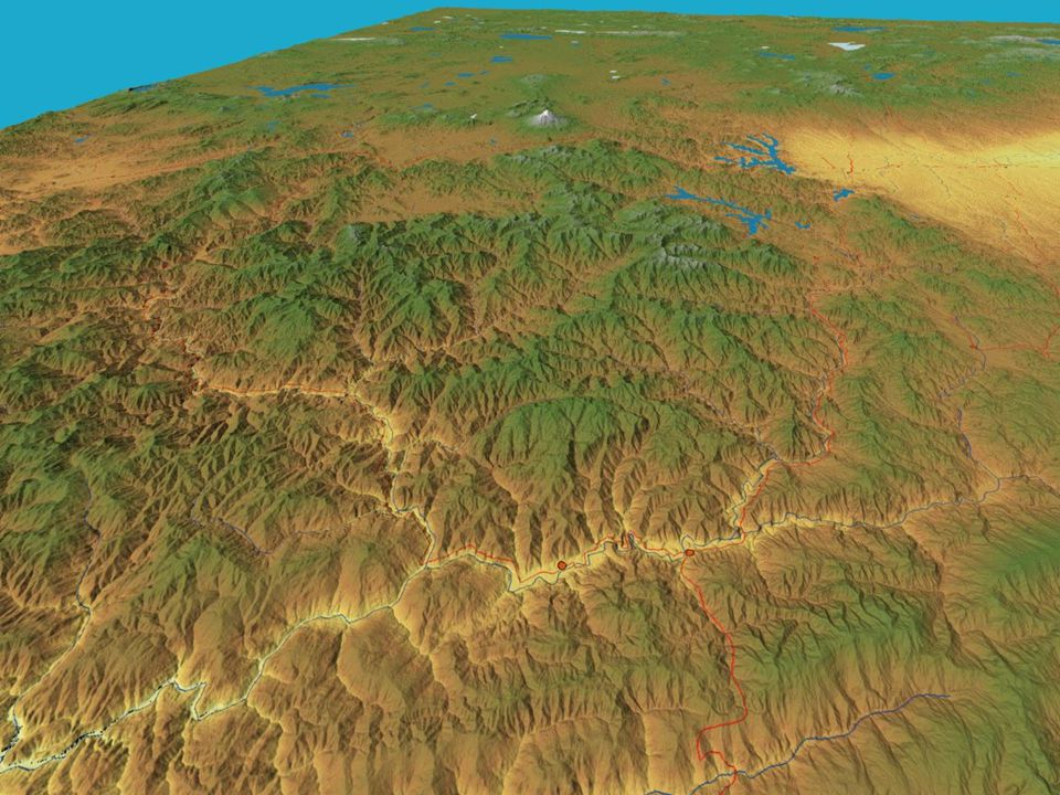
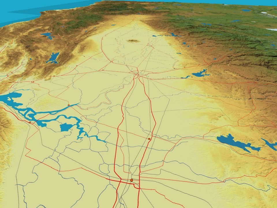
Basin and Range

32
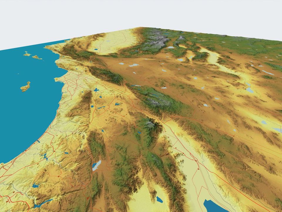
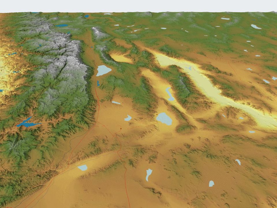
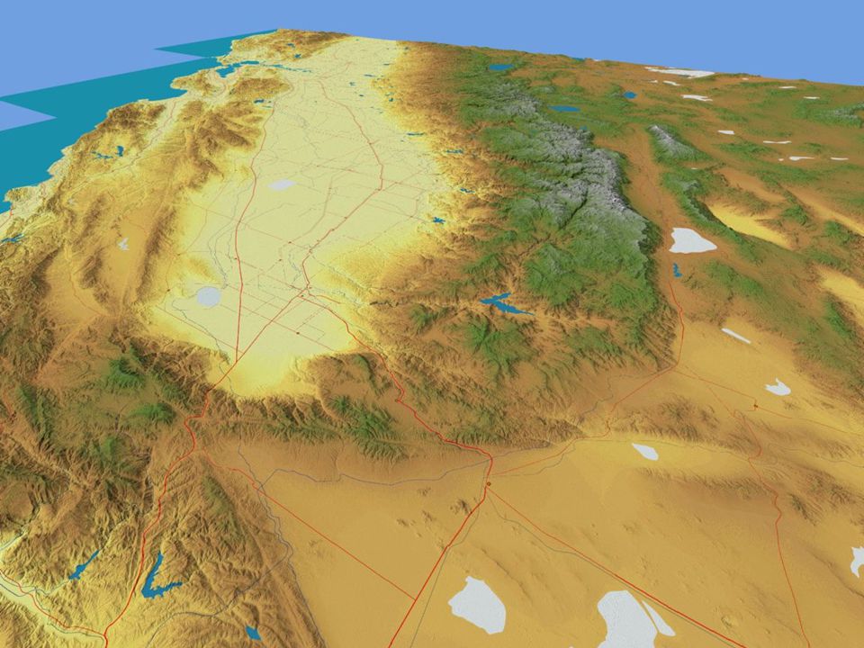
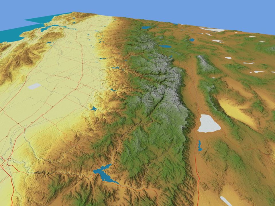
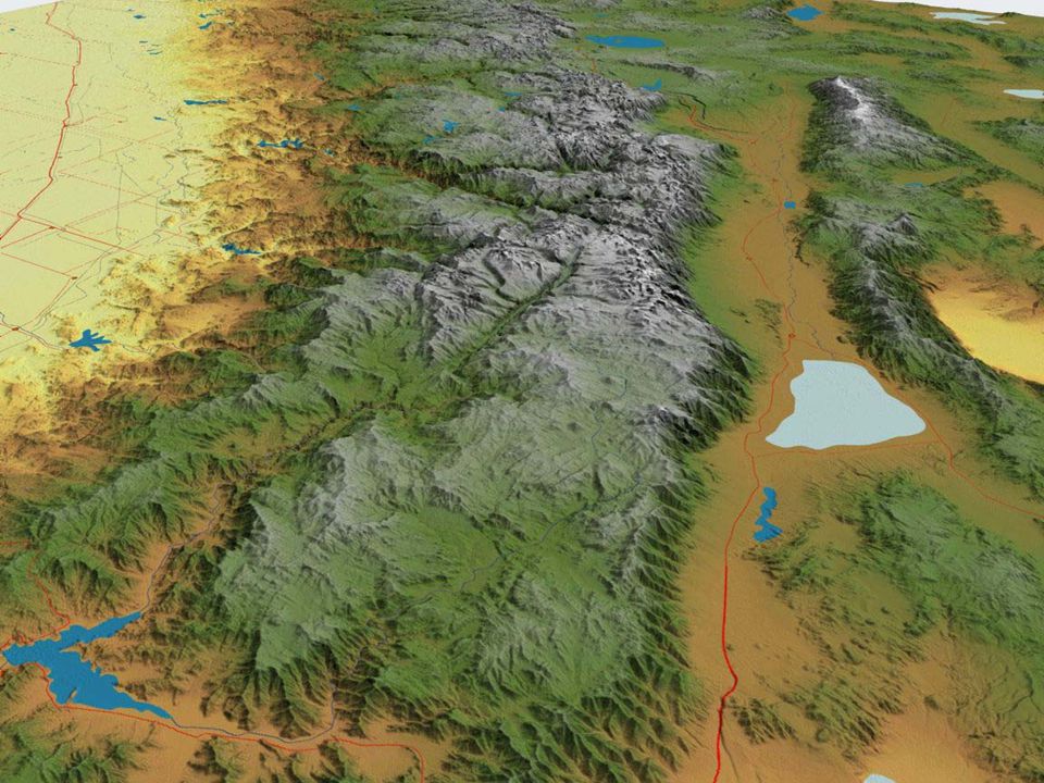
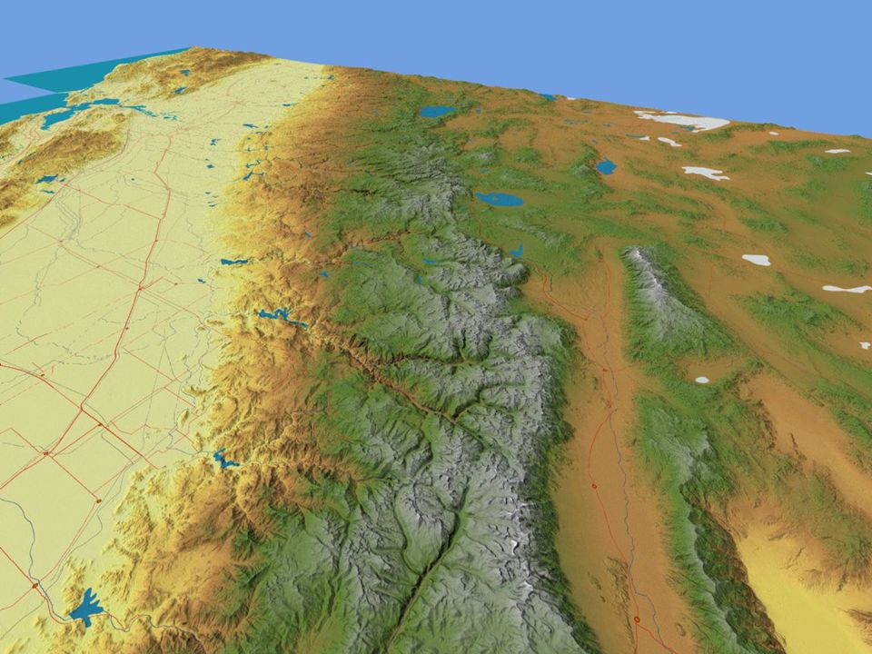
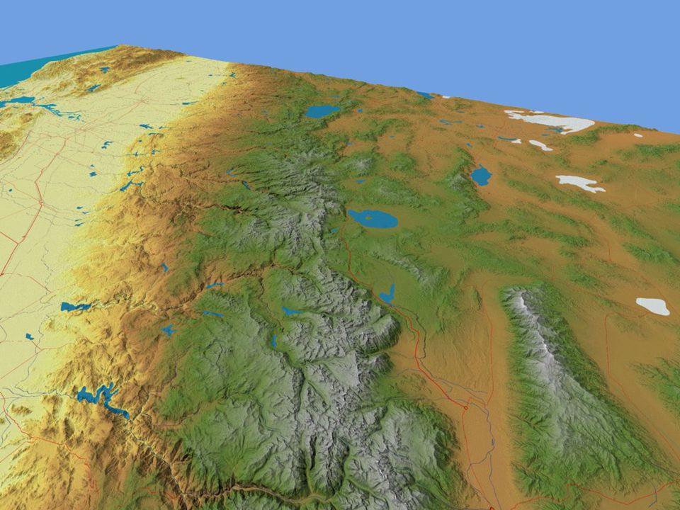
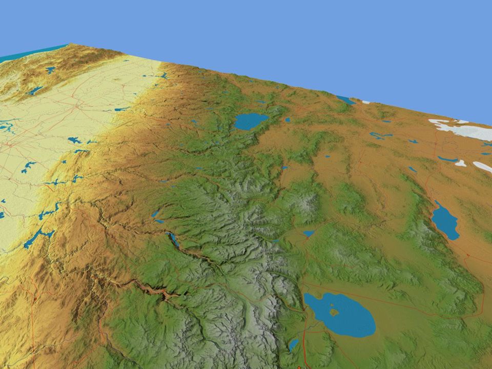
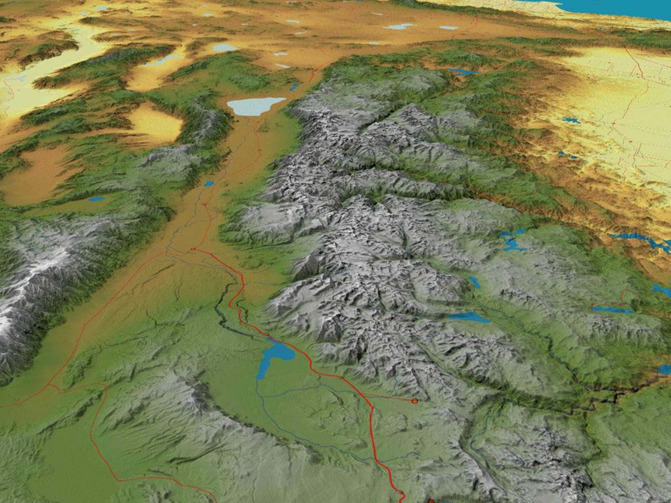
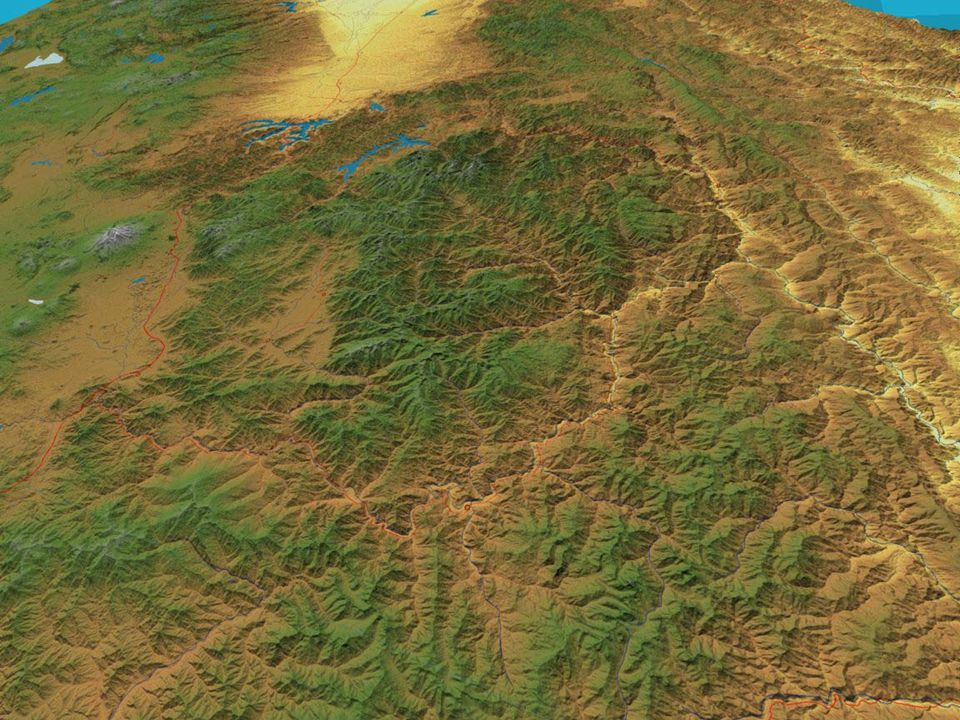
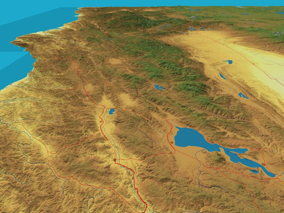
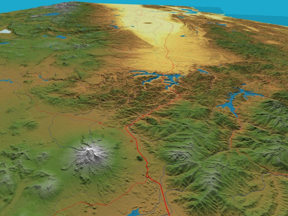
Sierra Nevada

43
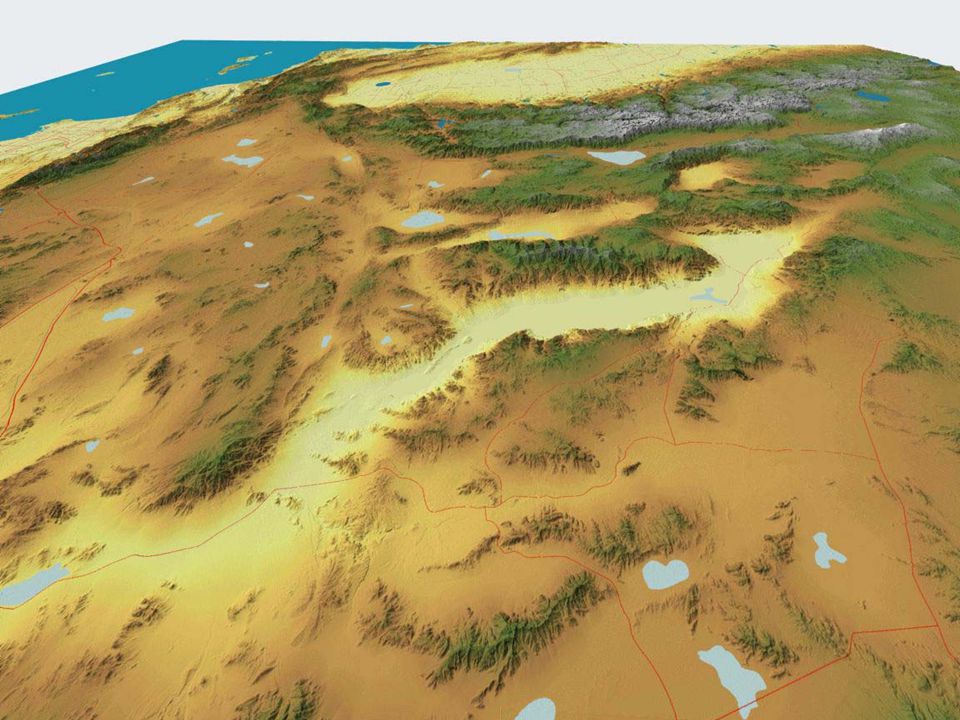
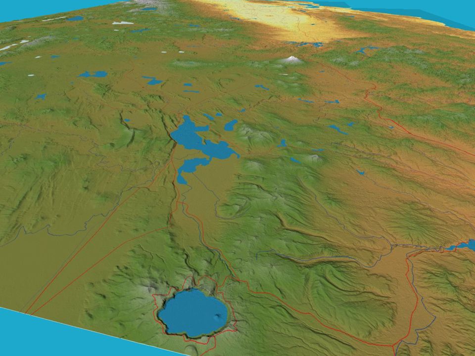
Modoc Plateau

48
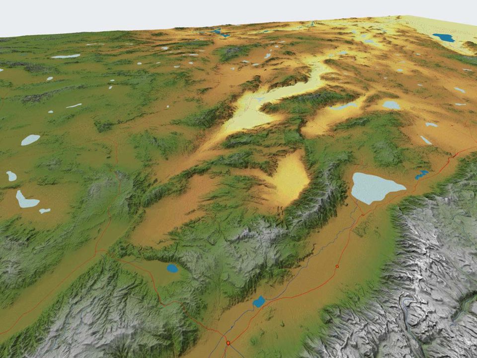
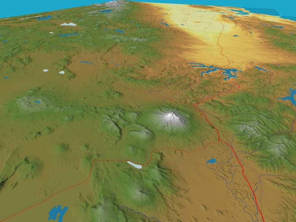
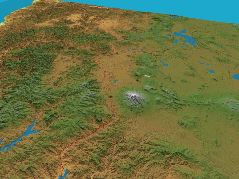
Cascade Range

53
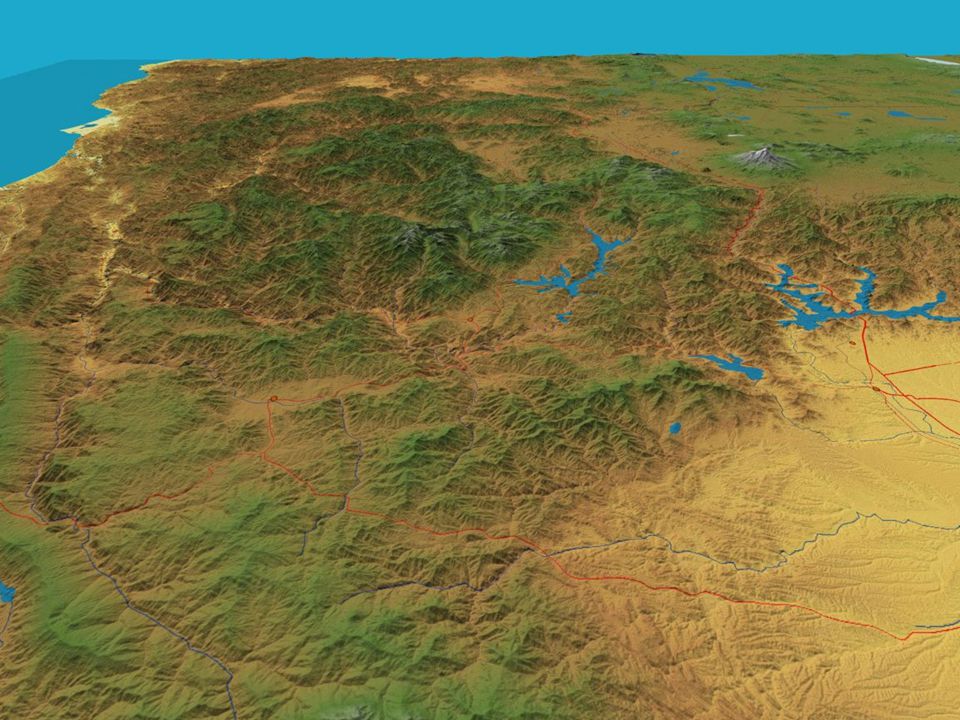
Klamath Mountains

60
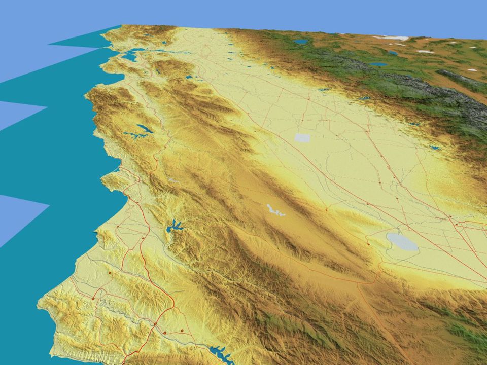
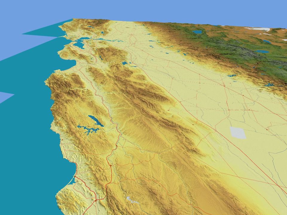
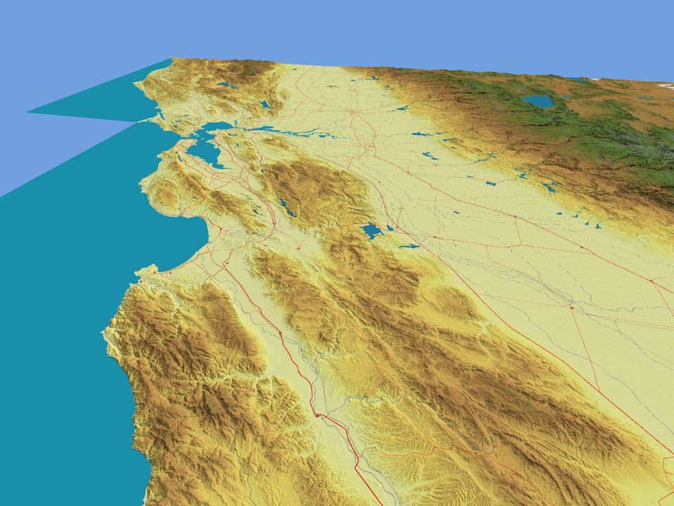
North Coast Ranges

68
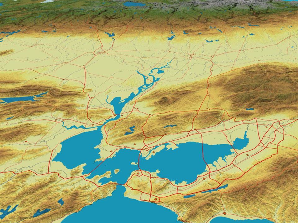
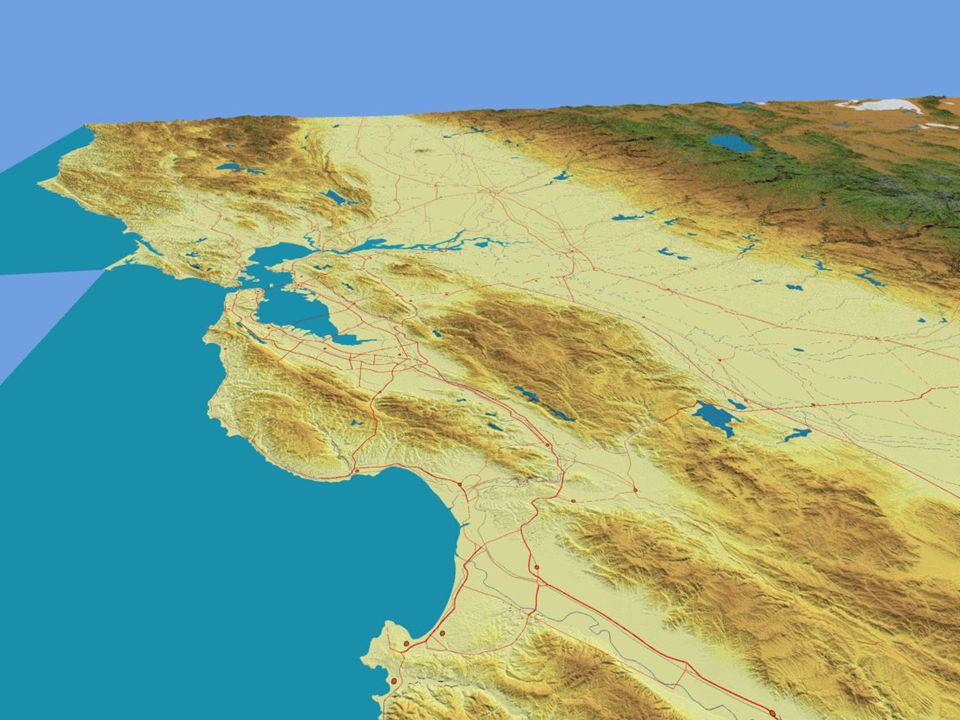
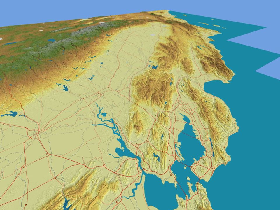
San Francisco Bay and Delta

73
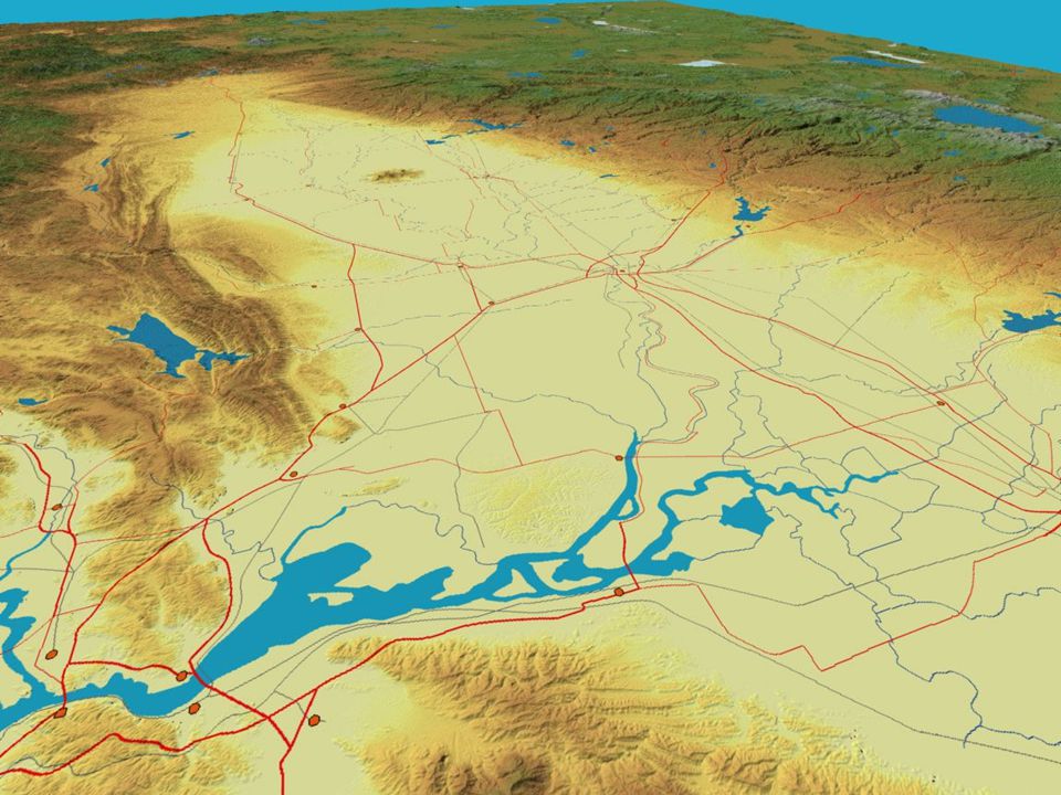
Sacramento Valley

80
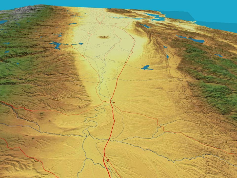
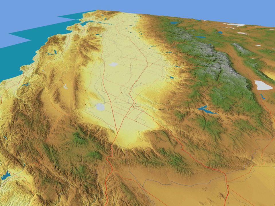
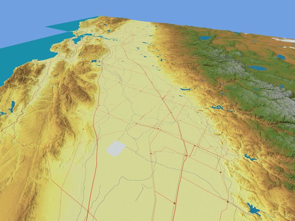
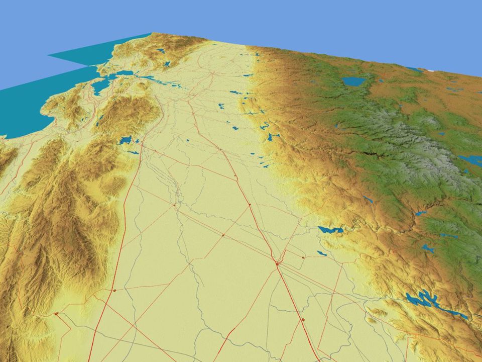
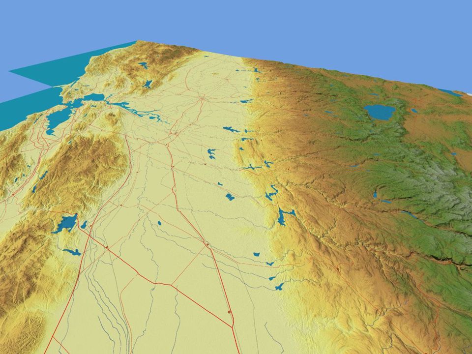
San Joaquin Valley

88
Central Coast Ranges

95
Explore the World of Geography Support Geography in the Public Schools contact the California Geographic Alliance http://www.humboldt.edu/~cga/ http://www.humboldt.edu/~cga/

Similar presentations


 Average annual.>")


