Download presentation
Presentation is loading. Please wait.

1
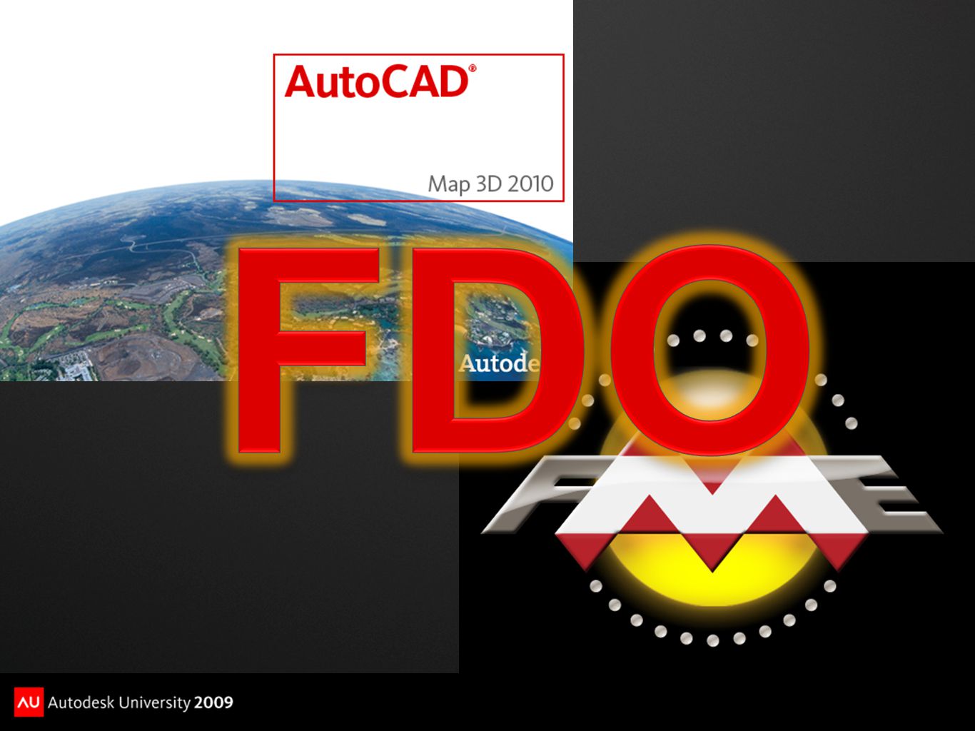
Integrating GIS and CAD Data with the Free FME FDO Provider Dale Lutz VP Development, Safe Software Inc.

5
?

6
Bridging Options Built In Import/Export Copy of data is made

7
Bridging Options Standalone Spatial ETL Translate Map 3D Object Data in/out of external formats Flexible, powerful, *but* a copy of data is made Very useful for sharing Map 3D Object Data via external export

9
Bridging Options Direct Access Via Open Source FDO Providers Not all formats available

10
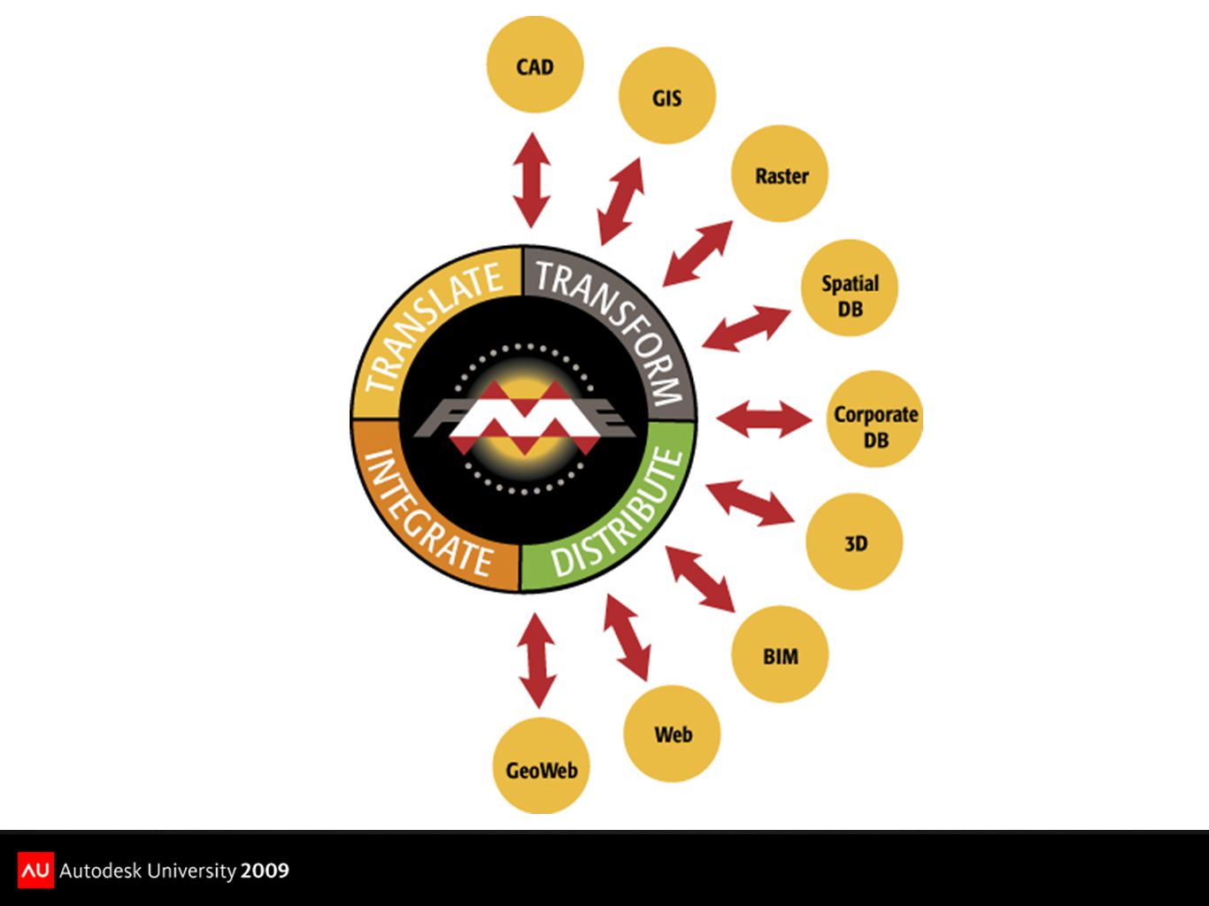
Bridging Options Direct Read Access Via FME FDO Comprehensive Format Support Built on Industry-Standard FME Format Support Libraries

11
Bridging Options Direct Read Access Via Free FME FDO Provider Supports Nine Formats Industrial Strength Quality The Price Is Right!

15
Obtaining the Free FME FDO Provider Visit http://www.safe.com/fmefdohttp://www.safe.com/fmefdo

16
Obtaining the Free FME FDO Provider Visit http://www.safe.com/fmefdohttp://www.safe.com/fmefdo Download and install the FME Free FDO from the location provided

17
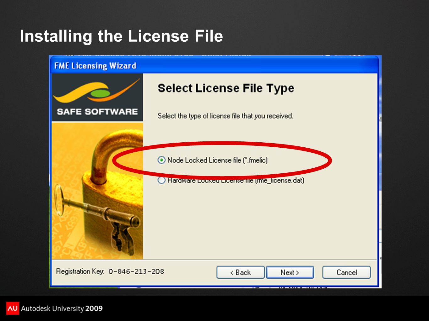
Obtaining the Free FME FDO Provider Visit http://www.safe.com/fmefdohttp://www.safe.com/fmefdo Download and install the FME Free FDO from the location provided Install the FME Free FDO license file that Safe Software will email you

18
Installing the License File

21
Data Connections Before Free FME FDO Installation

22
Data Connections After Free FME FDO Installation

23
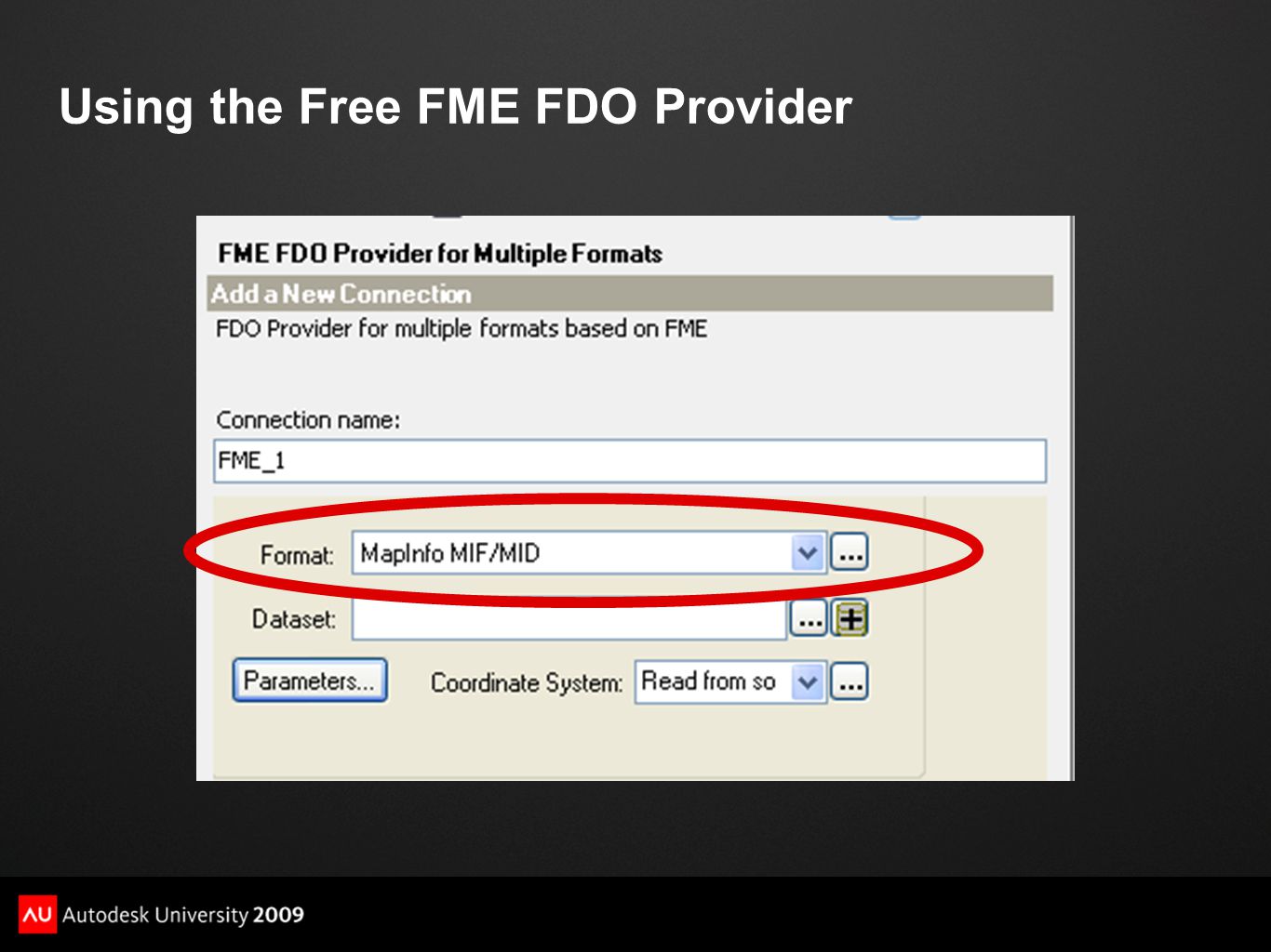
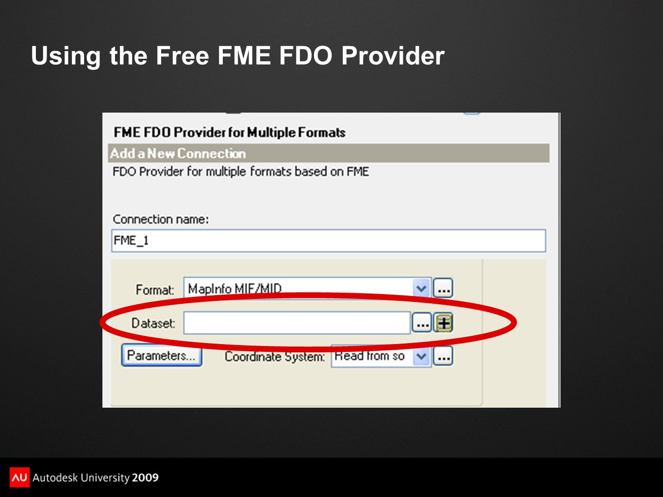
Using the Free FME FDO Provider

27
Free FME FDO Provider Format Support ESRI ArcInfo Coverage

28
Free FME FDO Provider Format Support ESRI ArcInfo Export (E00)
")
29
Free FME FDO Provider Format Support Geography Markup Language (GML & GMLSF)
")
30
Free FME FDO Provider Format Support MapInfo MIF/MID

31
Free FME FDO Provider Format Support MapInfo TAB

32
Free FME FDO Provider Format Support OS (GB) MasterMap (DNF)
 MasterMap (DNF)")
33
Free FME FDO Provider Format Support Spatial Data Transfer Standard (SDTS)
")
34
Free FME FDO Provider Format Support Vector Product Format (VPF) Coverage
 Coverage")
36
Going Further: On The Fly Data Transformation Move to full FME and use Workbench to augment FDO

37
Going Further: On The Fly Data Transformation Move to full FME and use Workbench to augment FDO Define data transformation graphically in Workbench

38
Going Further: On The Fly Data Transformation Move to full FME and use Workbench to augment FDO Define data transformation graphically in Workbench Save as a Custom Format

39
Going Further: On The Fly Data Transformation Move to full FME and use Workbench to augment FDO Define data transformation graphically in Workbench Save as a Custom Format Data is transformed on-the-fly during read

40
Going Further: On The Fly Data Transformation Move to full FME and use Workbench to augment FDO Define data transformation graphically in Workbench Save as a Custom Format Data is transformed on-the-fly during read Deploy to any Free FME FDO Installation

42
For More Information http://www.safe.com/autodesk http://www.safe.com/autodesk http://www.safe.com/fmefdo http://www.safe.com/fmefdo http://www.fmepedia.com http://www.fmepedia.com dal@safe.com dal@safe.com @fmemeister

Similar presentations


 using ArcMap 9.0 Tuesday September 26 th, 2005 Marcel Fortin GIS & Map Librarian University of Toronto.>")
