Download presentation
Presentation is loading. Please wait.

1
Topographic Map Lab Following Instructions

2
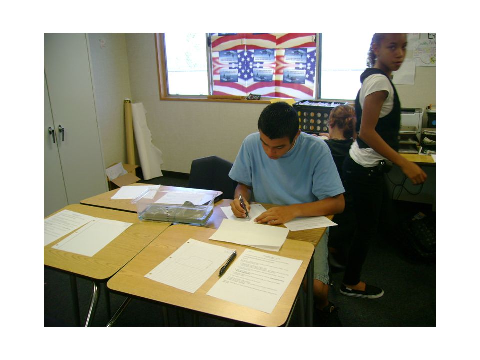
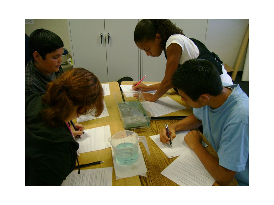
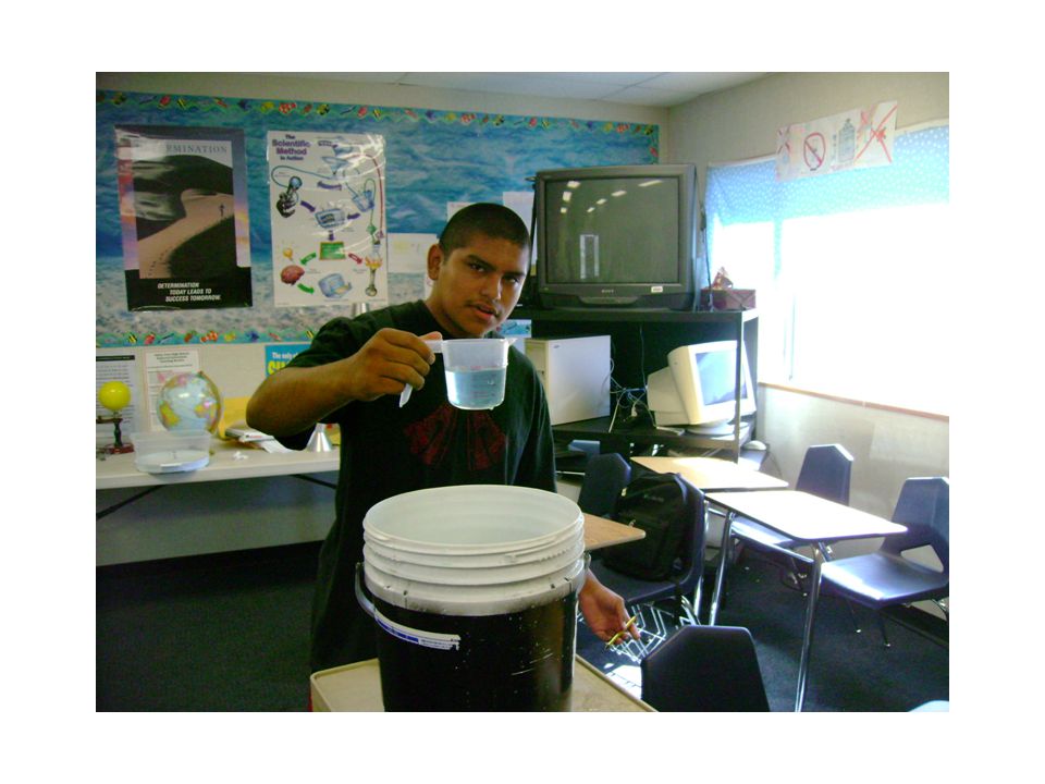
Topographic Map Mini Lab In this activity students will create their own topographic map of a volcanic island. Follow the directions step by step to get your best results! Directions: Put your name, the date and your class period in the corner of a sheet of paper. List the names of your lab group members. Place gray plastic volcano tray in the clear tray.

3
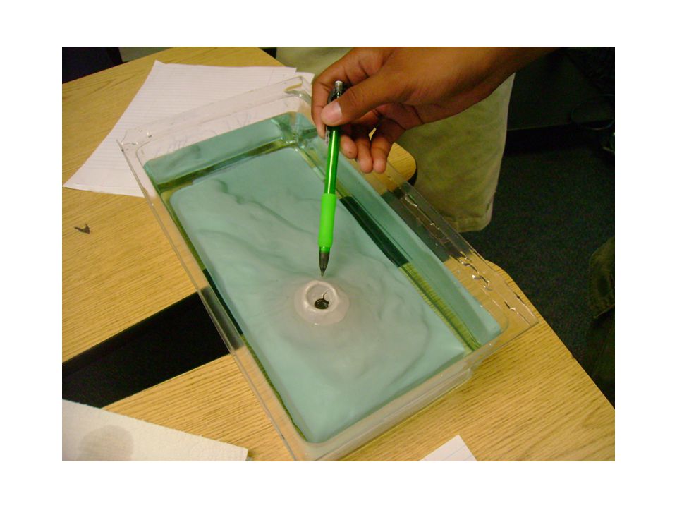
Draw (Trace) with a pencil the outline of the water/island shoreline. This will be your first contour line. Carefully pour water into the tray until the water level reaches a line on the side of the clear tray that will cover up some of the surface of the gray tray.

9
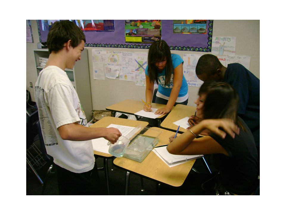
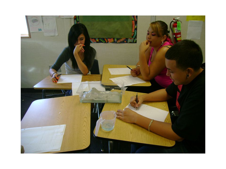
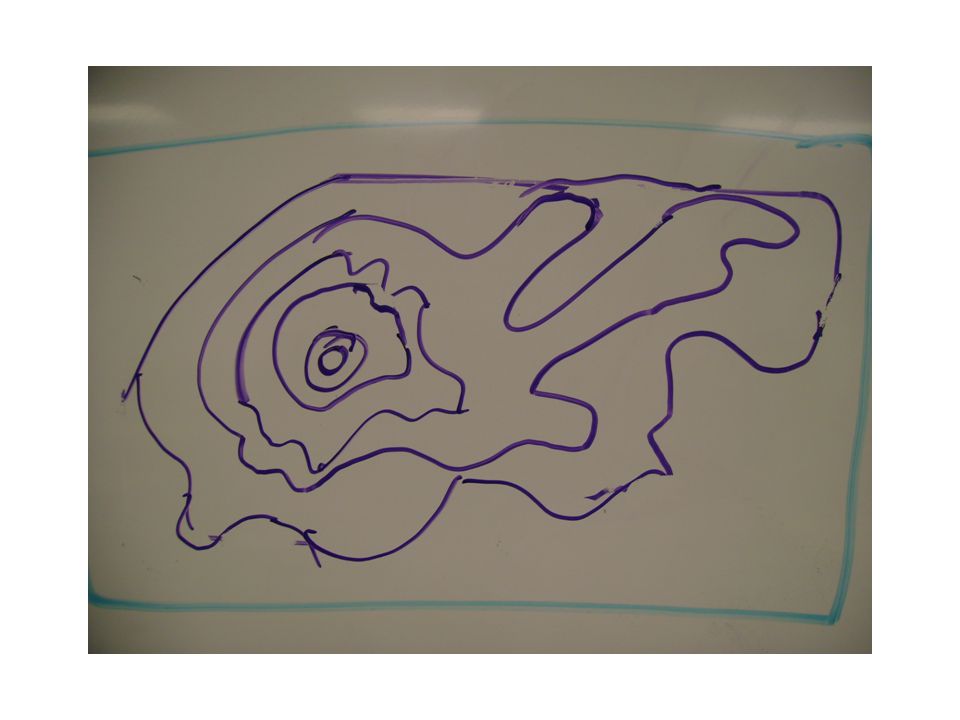
Add water to the next equidistant line on the side of the tray. Trace waterline again inside the first waterline. Continue process 4 to 6 times until all features of the gray volcano tray are nearly covered with water. Very carefully pour the water back into the buckets. Label the steep side of the mountain. Label all valleys as “Valley”. Draw and lable 2 arrows showing “Uphill Downhill” Lable any ridges as “Ridge” Well done! Reset the room. Assist your group and other groups get finished, cleaned up and ready to go.

Similar presentations