Download presentation
Presentation is loading. Please wait.

1
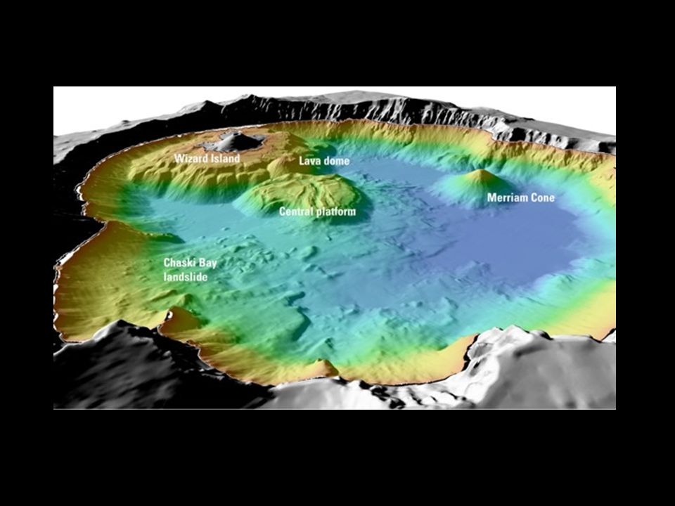
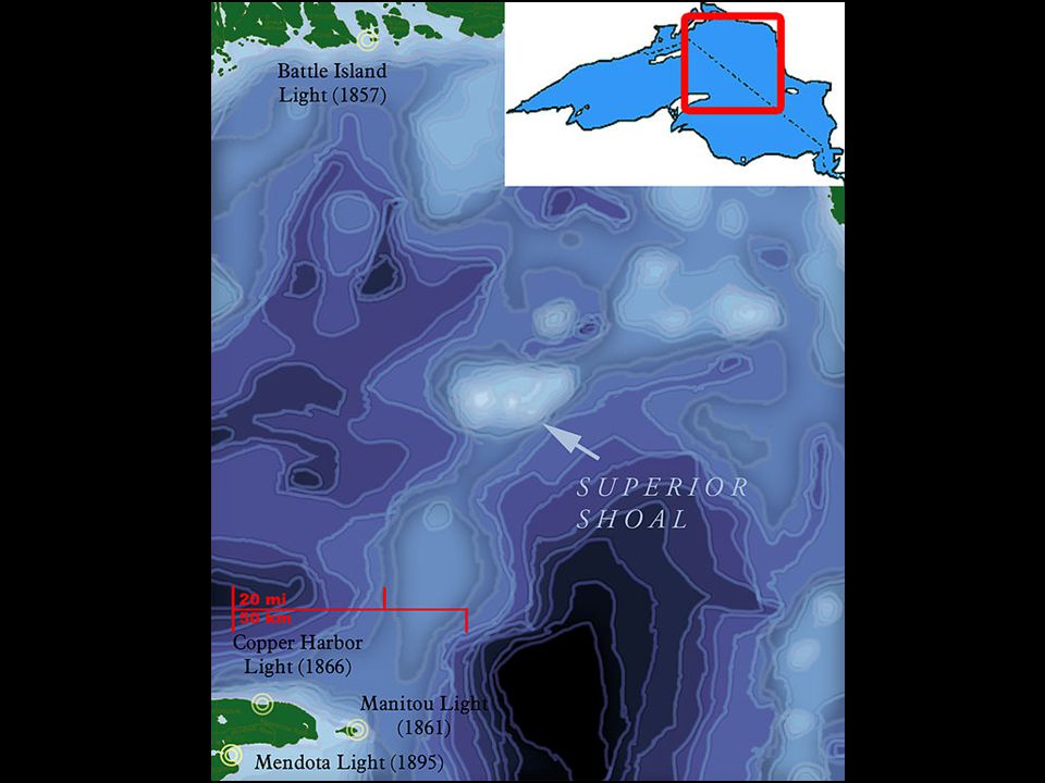
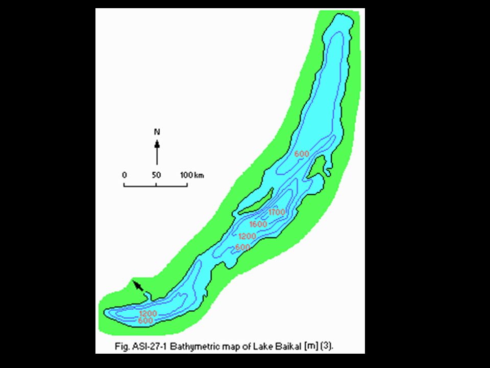
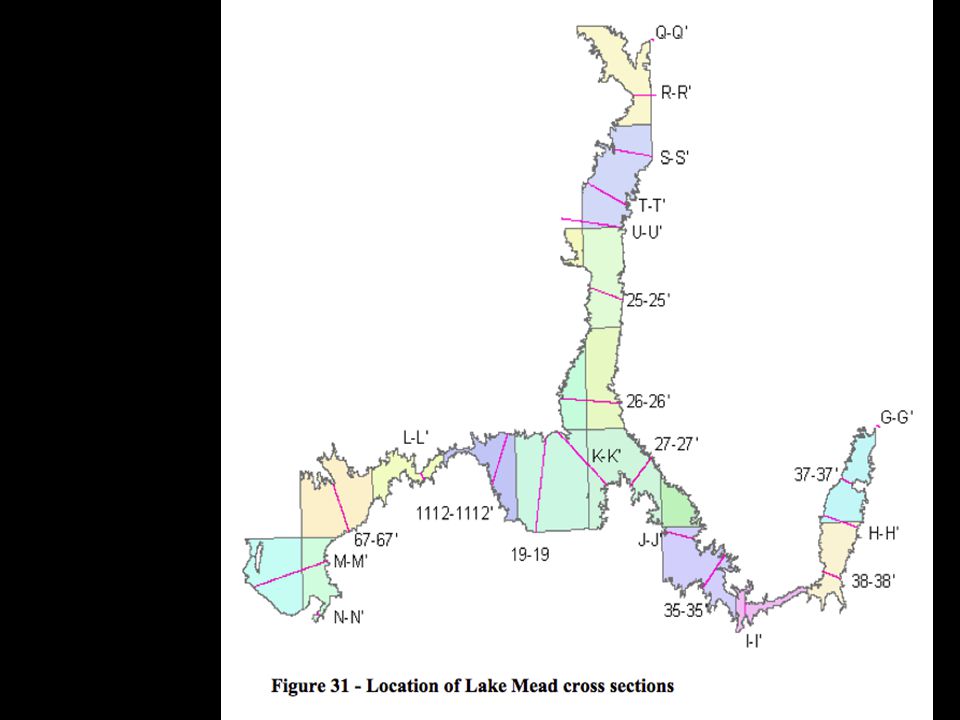
Appendix D: Bathymetry Maps of Lakes

17
Mini-Lake Guidelines Make the deepest part(s) of your lake at the bottom of the container – Mark these points with Xs Create at least 1 gentle slope and 1 steep slope Smooth surfaces No overhangs!
 of your lake at the bottom of the container – Mark these points with Xs Create at least 1 gentle slope and 1 steep slope Smooth surfaces No overhangs!")
18
Mini-Lake Bathymetry Map Directions 1.Outline the top of the container on the transparency 2.Mark the lowest point. Place depth gauge here for all measurements. 3.Fill mini-lake with water to the first line on your depth gauge 4.Looking straight down, outline the edge of the water on the transparency 5.Fill mini-lake to the next line on your depth gauge. 6.Repeat steps 4 & 5 until you have reached the top of your mini-lake

Similar presentations


 seat depth – If you have molded a posterior.>")

>")


 What is topography of the ocean?>")


