Download presentation
Presentation is loading. Please wait.

1
Vanessa Tobias, Giselle Block, Emilio Laca
Fine-scale predictions of perennial pepperweed invasion in a brackish tidal marsh Vanessa Tobias, Giselle Block, Emilio Laca

2
Perennial Pepperweed Lepidium latifolium LELA

3
Creates monocultures forestryimages.org
Displaces adorable natives & swallows grazing animals forestryimages.org

4
Displaces marsh animals. Here: salt marsh harvest mouse
water.ca.gov

5
Spreads by Rhizomes and Seeds
Not only does pepperweed live in a variety of conditions, it has a variety of mechanisms for spreading Seeds float and can germinate in saline conditions Spread by rhizomes and vegetative parts seems to be the most common method of spread in wet areas, though.

6
Marshes are at high risk for pepperweed invasion
Vanderhoof et al. 2009

7
Marshes are at high risk for pepperweed invasion
Vanderhoof et al. 2009

8
Management Needs for LELA
Efficient search models Eradication plan for wetlands Right now, recommendations for eradicating pepperweed aren’t very practical for marshes. Methods for treatment in uplands, rangelands aren’t appropriate for wetlands- mowing with heavy equipment and grazing isn’t an option. For wetland managers, the best defense is to find new invasions in the early stages. Since no one has unlimited funds or personnel, we focused on figuring out ways to make searching for new invasions as effective as possible.

9
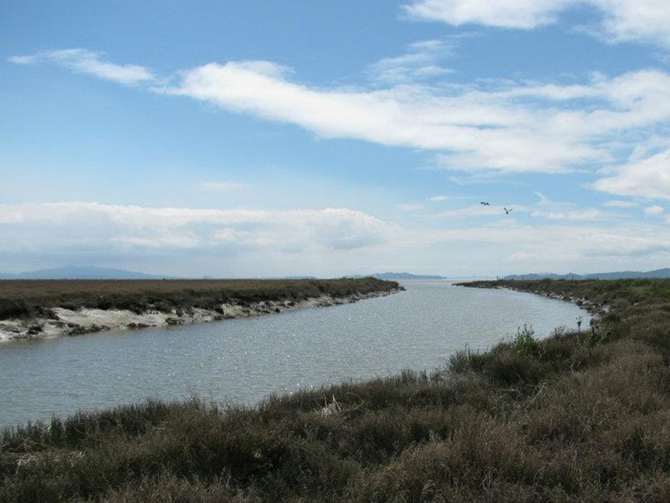
San Pablo Bay NWR Sacramento San Pablo Bay Suisun Bay Sacramento Delta
Golden Gate This is a reference map of San Francisco Bay that shows where I’m working. For this project, I’m working with the staff of San Pablo Bay National Wildlife refuge to figure out where pepperweed invasions are most likely. The refuge is on the north side of San Pablo Bay and it consists of saline tidal marsh. It’s a unique area for studying pepperweed because most of the research that has been done is in freshwater wetlands and rangelands. San Francisco Bay

10
Project Area Ag Land Bay 4 km 10 km
This is a closer view of the section of the refuge where pepperweed was mapped. This is actually a bit bigger than the mapping area- the mapping was generally in the dark brown areas near the bay. This shows that the marsh is sandwiched between agricultural land and the bay. Bay 10 km

12
Mapping of LELA patches by field crews before and after spraying
Ag Land Bay

15
Explanatory variables used in the model
Vegetation Disturbance Channels, shoreline, & levees Elevation (LiDAR)
")
16
Channels, shoreline, & levees
Elevation (LiDAR) Vegetation Disturbance LELA Patches
 Vegetation. Disturbance. LELA Patches.")
17
Map of predicted probability of invasion
Ag Land Bay Deviance Explained = 27%

18
A practical application of modelled probabilities:
Maps identifying potential habitat LELA Present in 2005 Potential Habitat Search Area Ag Land Bay This is the practical use of the modelling probabilities. This map shows places where the model predicts pepperweed is likely to establish in green. The yellow spots are places that actually had pepperweed in the 2005 mapping. The patch sizes are exaggerated so the colors show up. I really like this map for a couple of reasons. First, it’s a practical application of the model. This is something that the staff can use to focus their searches. They can see where the patches were, and where new patches are likely to establish. They can also see that there are large sections of the refuge that probably don’t need to be searched as often. Second, it shows why the model doesn’t do well numerically- there are many places that have reasonable habitat for pepperweed that haven’t been invaded yet. These are important areas to check, but they show up as errors in the model.

19
True Positives False Positives Search Area False Negatives Ag Land Bay

20
Potential habitat that hasn’t been invaded yet shows up as “false positives” in our model
True Positives False Positives Search Area False Negatives Ag Land Bay

21
New patches mapped in 2010 as a test case for the model
New LELA Invasions 2010 Potential Habitat Search Area Ag Land Pepperweed was also mapped in 2010 and the model predicted most of the new patches. That’s a pretty exciting thing because it shows that if managers used this map, they would have found most of the new patches in the early stages. That’s going to be important for controlling invasions in the future. Bay

22
Focus search and efforts for LELA on levees and channel berms.

23
Number of Patches Percent Cover of Pepperweed

24
No Spray Spray

25
Herbicides are an effective control for LELA in areas where mechanical control is impractical.

26
Questions? Vanessa D. Tobias vtobias@ucdavis.edu Postdoctoral Scholar
University of California, Davis Department of Plant Sciences

Similar presentations


 By: Melissa Negron.>")


 purchased for $139 million (Prop 50 funds) Area B.>")
 503-6856 US Army Corps of Engineers BUILDING STRONG ® San.>")


 Phylum: Class: Magnoliopsida.>")


