Download presentation
Presentation is loading. Please wait.

1
Four Geographic Regions of Texas

2
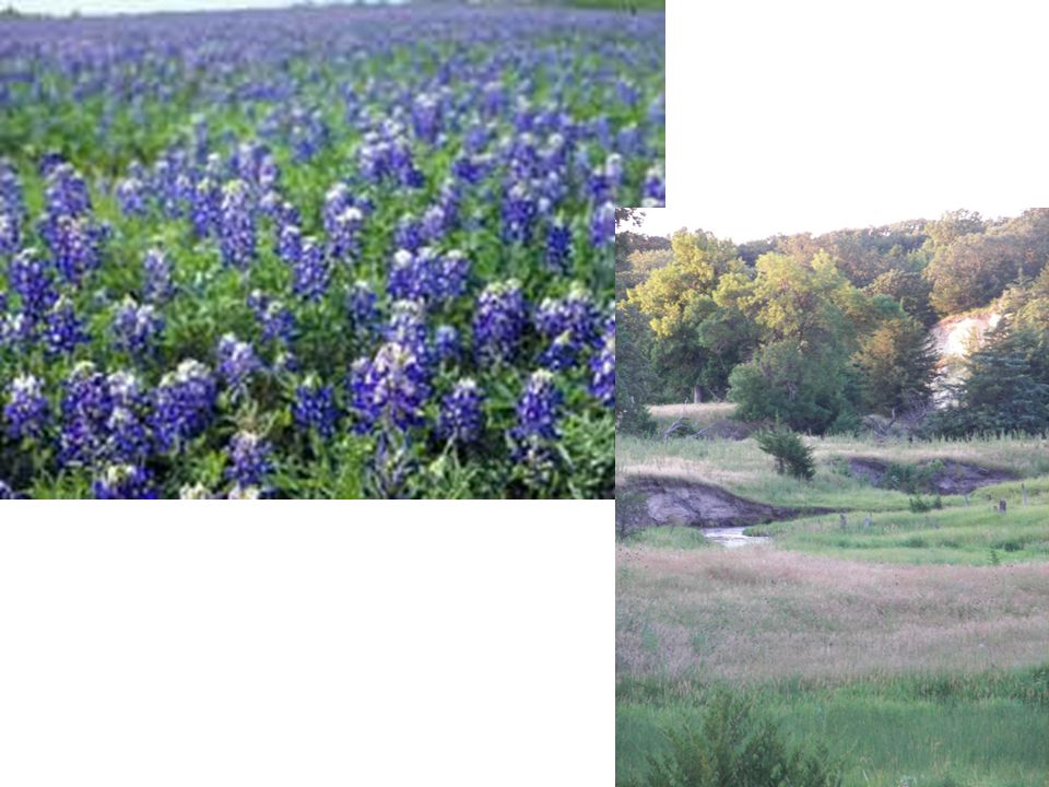
Coastal Plains The Coastal Plains (also known as the Gulf Coastal Plains) covers more than 40% of the land area of the state. The land in this area is low and marshy. The eastern part of the region has pine and hardwood trees, while the western has grassy prairies and brush land.
 covers more than 40% of the land area of the state. The land in this area is low and marshy. The eastern part of the region has pine and hardwood trees, while the western has grassy prairies and brush land.")
3
Coastal Plains Continued…
It is known for containing rich soil and having high rainfall, which is good for growing fruits, vegetables, and COTTON! The resources in this area include oil and timber. This region contains the cities of Houston, San Antonio, Austin, Galveston, and Brownsville, which makes it a very urban region.

4
Coastal Plains Continued…
Important Facts: The Mouth of the Colorado empties here. It is where important battles happened, like San Jacinto and the Alamo. NASA is located here (in Houston)! The King Ranch, one of the most famous in Texas, is part of the Coastal Plains. Hurricanes can be a problem here. Dell Computers is located in Austin.
! The King Ranch, one of the most famous in Texas, is part of the Coastal Plains. Hurricanes can be a problem here. Dell Computers is located in Austin.")
7
North Central Plains The North Central Plains has gently rolling prairies with a few high hills and mesas. There are also a few forests growing in river valleys in this area. Resources in this area include oil and natural gas.

8
North Central Plains Continued…
The North Central Plains are perfect for ranching and farming. There are many meat and dairy processing centers in this part of Texas. This region contains the cities of Fort Worth, Abilene, Denton, Brownwood, and parts of Austin.

9
North Central Plains Continued…
Important Facts: Fort Worth stockyards are an important historical marker in this region. Dinosaur Valley State Park is in the North Central Plains. There is a very high percentage of horse farms here.

14
Great Plains (High Plains)
This area consists of flat and rolling prairies. It is actually known as one of the flattest places on Earth. This region includes the Llano Estacado, Edwards Plateau, Permian Basin, and the Balcones Escarpment. Oil and gas are a large part of the economy in the Great Plains.

15
Great Plains Continued…
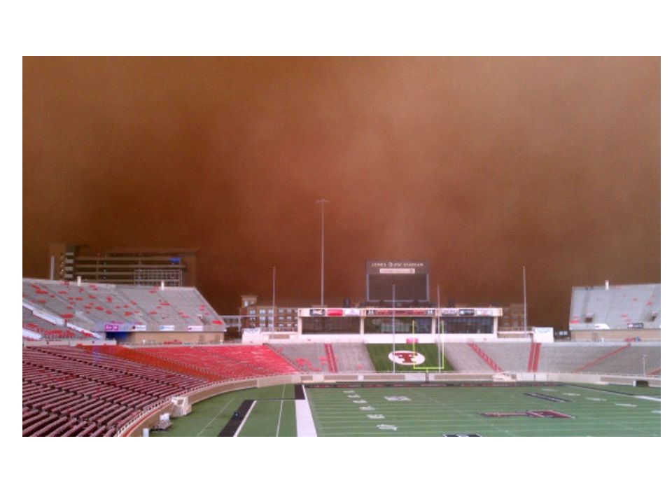
Wheat and cotton are both grown in the Great Plains. The cities of Lubbock, San Angelo, Amarillo, and Midland-Odessa are part of this region. This region is known for harsh weather and for even having blizzards and dust storms! Texas Tech University is located in the Great Plains region. Go Red Raiders!

16
Edwards Plateau

17
Llano Estacado

23
Mountains and Basins This area is mountainous, containing canyons, deserts, and dry plateaus. The Guadalupe Mountains (the highest mountain of Texas which is 8,751 feet above sea level) are in this region. With the Guadalupe, there are also the Davis and Chisos Mountains.
 are in this region. With the Guadalupe, there are also the Davis and Chisos Mountains.")
24
Mountains and Basins Continued…
The land in this area is known for being dry and desert-like. Alfalfa, cotton, and pecans are grown in this region. Big Bend National Park is in this region, along with the cities of El Paso, Marfa, and Fort Stockton. The Pecos River also flows through this region.

Similar presentations