Download presentation
Presentation is loading. Please wait.

1
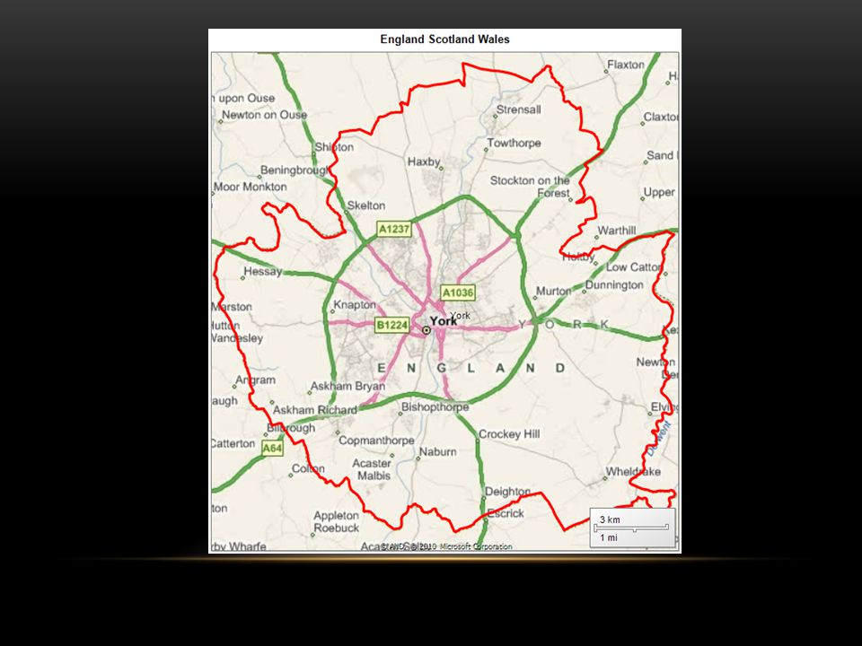
Robert.Edgson@Bimapping.co.uk UK MAPPING WITH SSRS 2008 R2

2
IN THE NEXT HOUR Start 9:30 UK Mapping with SSRS 2008 R2 Open Data Point Code Open Boundary line Spatial data types Creating corporate mapped data End 10:25 Q/A

3
TO MAP UK DATA WE NEED Map outlines Administrative boundaries ( North East ; Yorkshire ; York) Address translation to latitude and longitude Post codes? Road names ? Towns? Sales data SSRS 2008 R2 Express ( and above) Other Countries www.gadm.org
 Other Countries")
17
OPEN DATA Code-point Open (20mb csv) Postcodes, grid reference 1:50 000 Gazetteer(11mb csv) Towns and areas, grid reference OS Locator (35 MB text) Road names, grid reference Boundary Line (250mb ESRI) Local government Administrative boundaries ( ward, district, county..) Several others image based
 Postcodes, grid reference 1: Gazetteer(11mb csv) Towns and areas, grid reference OS Locator (35 MB text) Road names, grid reference Boundary Line (250mb ESRI) Local government Administrative boundaries ( ward, district, county..) Several others image based")
19
A simple Guide UK POST CODES

20
POSTCODES CAN BE SPATIAL DATA

21
YO 10 5 DD Area 184 District 3,000 Sector10,000 Unit1,600,000

22
YO10 5DD UK. Postcodes are 7 characters long Inward code always last 3 characters Outward code 2 – 4 characters

23
USERS LIKE THE SPACES SELECT TOP 10 LEFT(postcode,LEN(postcode)-3) +' ' + RIGHT(postcode,3) FROM dbo.PostcodesLatLong
-3) + + RIGHT(postcode,3) FROM dbo.PostcodesLatLong")
24
A Unique Key for 1- 100 Addresses

26
OPENDATA Where can I find post code location data? http://www.ordnancesurvey.co.uk/oswebsite/products/code-point- open/index.html

27
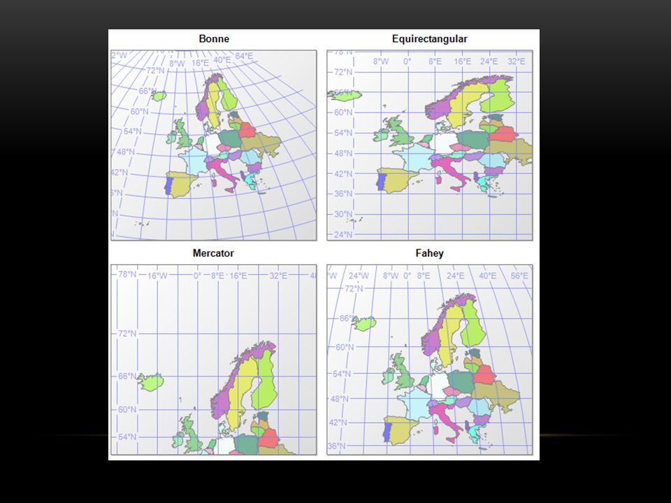
http://www.ordnancesurvey.co.uk/oswebsite/gps/ IS THE UNITED KINGDOM ROUND OR FLAT

28
DEPENDS What defines round? What defines flat? Which one is Correct? Where do we Start from? What do we draw it on?

29
OSGB36 ( NATIONAL GRID )
")
32
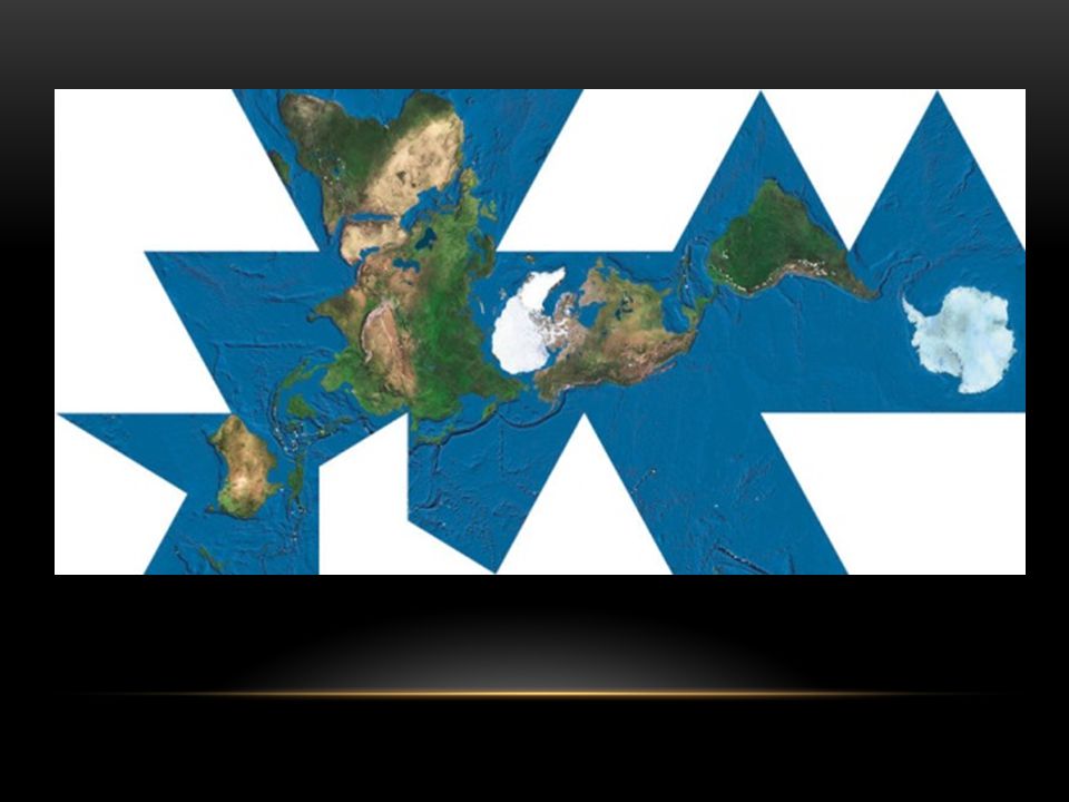
IF THE EARTH IS NEITHER FLAT OR ROUND THEN IS IT A CUBE? http://www.puzl.co.uk/earth-cube-p-79.html

33
ONE SIZE DOES NOT FIT ALL? Many standards SELECT * FROM sys.spatial_reference_systems

34
SOME MYTHS* A point on the ground has a unique latitude and longitude A horizontal plane is a level surface The true coordinates of a ground point do not change There are exact mathematical formulae to change between coordinate systems * a guide to coordinate systems in Great Britain v1.9 Mar 2008 D00659 © Crown copyright Page 3 of 46

35
PRECISION AND ACCURACY

36
HELMERT TRANSFORMATION

37
OS & QUEST FREEWARE

39
REFERENCES http://www.naturalearthdata.com/ http://www.mathsisfun.com/accuracy-precision.html

40
COPYRIGHT OS OpenData™ is covered by either Crown Copyright, Crown Database Right, or has been licensed to the Crown. Mapping : Contains Ordnance Survey data © Crown copyright and database right 2010 Where you use Code-Point® Open data, Contains Royal Mail data © Royal Mail copyright and database right 2010.

41
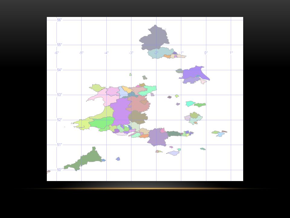
But Which One? UK ADMINISTRATION BOUNDARIES

42
ScotlandCouncil Areas Wales Unitary Authorities Northern Ireland Local Government Districts

44
HTTP://WWW.STATISTICS.GOV.UK/GEOGRAPHY/ENGLAND.ASP England Govenment Office Regions North Yorkshire and Humberside East MidlandsEast Anglia..

46
METROPOLITAN COUNTIES *

48
HTTP://WWW.STATISTICS.GOV.UK/GEOGRAPHY/ENGLAND.ASP Government Office Region Greater London London Boroughs Counties Non- metropolitan districts Metropolitan Counties Metropolitan Districts Unitary Authorities

50
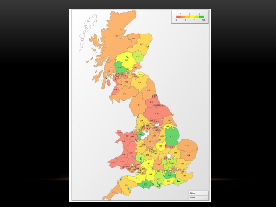
SHAPE FILES Shape file ESRI standard Open data - Boundary line. Administrative boundaries Fwtools (free) Convert between SRID Shape2sql (free) Import shape files into sql
 Convert between SRID Shape2sql (free) Import shape files into sql.")
53
Q&A Robert Edgson Robert.Edgson@bimapping.co.uk http://EdgsonRobert.wordpress.com

Similar presentations


 North Downs at OS 1:25,000 Explorer map No 171 Figure 2 Map centred at GR TQ444569.>")
 & ArcView GIS software? What is a Geographical Information System (GIS)? Introduction to ESRI ArcView 3.x.>")


