Download presentation
Presentation is loading. Please wait.

1
GWB Visualisation – GIS
WG C Art 5 WFD Review, TV establishment GWB Visualisation – GIS GWD Reporting sheets Andreas Scheidleder Philippe Quevauviller Ljubljana – 22 April 2008 European Commission - DG Environment Unit D.2: Water and Marine

2
Content Article 5 Implementation, TV establishment GWB Visualisation – GIS GWD Reporting Sheets

3
Article 5 Implementation
Aim of investigation Compare approaches of GW delineation Availability of pollution load data Identify substances characterising GWBs at risk - need of TVs Identify gaps Template distributed to MS Pre-filled with available information (Art 5 Reports, WISE, …) Key figures on GWBs, Methodology of delineation Substances posing a risk – need for TVs Request for correction/completion/update 22 of 27 MS responded
 Key figures on GWBs, Methodology of delineation. Substances posing a risk – need for TVs. Request for correction/completion/update. 22 of 27 MS responded.")
4
Article 5 Implementation
Approaches for GWB delineation For 17 of 27 Member States the information on the methodology of GWB delineation was complete and clear Nearly all MS applied harmonized methodology within MS. Main criteria for GWB delineation are (hydro)geology, hydrochemistry and water sheds and catchments. Further criteria reported by nearly all Member States.
geology, hydrochemistry and. water sheds and catchments. Further criteria reported by nearly all Member States.")
5
Article 5 Implementation
7,000 GWB reported by 25 MS (no info from FI and RO). More than half of Europe’s GWBs located in SE, DE, IE and ES. Average size of GWBs varies between 10 (SE) and 4,411 km² (EE). 5 MS reported GWBs larger than 10,000 km². 294 transboundary GWBs 1358 GWBs linked to ecosystems
. More than half of Europe’s GWBs located in SE, DE, IE and ES. Average size of GWBs varies between 10 (SE) and 4,411 km² (EE). 5 MS reported GWBs larger than 10,000 km². 294 transboundary GWBs GWBs linked to ecosystems.")
6
Article 5 Implementation
Pollution load Information was reported (in Article 5 reports) at least for certain RBDs by 12 of 27 MS. Pollution load mainly provided for nitrogen/nitrate and pesticides.
 at least for certain RBDs by 12 of 27 MS. Pollution load mainly provided for nitrogen/nitrate and pesticides.")
7
GWB at risk – relevant substances
In total 31% (2,152) of 7,000 GWB at chemical risk (from 25 MS) Pressures 52 different pressures identified (18 diffuse sources - 29 point sources - 5 undefined). Agricultural land use was the far most reported (in 22 MS RBDs - >1,000 GWBs) followed by ‘urban land use’ (11 MS RBD - ~470 GWB) and ‘contaminated land’ (7 MS RBD GWB) Gaps Several pressures are not clearly described and identified e.g. “Diffuse sources”, “Others”. Some pressures are not pressures e.g. “Geogen” and “Upward trend”. Plenty of the pressures are still quite similar and might be further unified for assessment and comparability reasons.
 of 7,000 GWB at chemical risk (from 25 MS) Pressures. 52 different pressures identified (18 diffuse sources - 29 point sources - 5 undefined). Agricultural land use was the far most reported (in 22 MS - 58 RBDs - >1,000 GWBs) followed by ‘urban land use’ (11 MS - 31 RBD - ~470 GWB) and ‘contaminated land’ (7 MS - 16 RBD GWB) Gaps. Several pressures are not clearly described and identified e.g. Diffuse sources , Others . Some pressures are not pressures e.g. Geogen and Upward trend . Plenty of the pressures are still quite similar and might be further unified for assessment and comparability reasons.")
8
GWB at risk – relevant substances
Substances responsible for risk identification 85 substances (groups of substances) / indicators nominated. 69 are nominated 2913 times In avarage: 1.35 substances per GWB Nitrate is far most nominated: 1,002 GWBs at risk (~1/2 of all 2,152 GWBs at risk and ~1/3rd of the total nominations) followed by Pesticides (221), Chloride (208), Conductivity (164) and Ammonium (155). 10 of these substances are listed in Annex II Part B of the GWD For 14 of 27 MS and 57 of 131 RBDs clear information on Annex II (GWD) substances is available (whether they pose a risk or not).
 / indicators nominated. 69 are nominated 2913 times. In avarage: 1.35 substances per GWB. Nitrate is far most nominated: 1,002 GWBs at risk (~1/2 of all 2,152 GWBs at risk and ~1/3rd of the total nominations) followed by Pesticides (221), Chloride (208), Conductivity (164) and Ammonium (155). 10 of these substances are listed in Annex II Part B of the GWD. For 14 of 27 MS and 57 of 131 RBDs clear information on Annex II (GWD) substances is available (whether they pose a risk or not).")
9
GWB at risk – relevant substances
Share of nominations of groups of substances/indicators responsible for GWBs at risk Total: 2913

10
GWB at risk – relevant substances

11
GWB at risk – relevant substances
Gaps - Substances Some reported substances/indicators seem to be too general to derive threshold values e.g. Heavy Metals, List I substances, Mineral oil, Salinisation etc. Some substances might be not relevant as the pressure might not be relevant. 16 substances identified but no link to GWBs Substance/indicator identified but no pressure (78 cases) Substance/indicator identified but no pressure & no link to GWBs Risk and pressure identified but no substance (867 cases) Annex II substances: For 13 MS or 74 RBDs no explicit answer available.
 Substance/indicator identified but no pressure & no link to GWBs. Risk and pressure identified but no substance (867 cases) Annex II substances: For 13 MS or 74 RBDs no explicit answer available.")
12
GWB at risk – relevant substances
Most frequent combinations (<50) Pressures–Substances
 Pressures–Substances.")
13
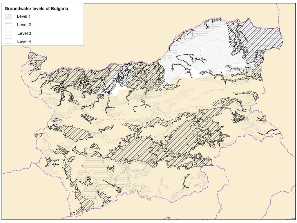
GIS issues Visualisation of GWBs in WISE

14
GWB visualisation - GIS
How to present GW-bodies in WISE? What information is essential for visualisation and needs to be collected? Possible amendment of Reporting Sheets

15
GWB visualisation - GIS
Gaps for proper visualisation of GWBs Limited geographical information available (centriods) Missing consideration of 3D characteristics No consideration of overlying GWBs
 Missing consideration of 3D characteristics. No consideration of overlying GWBs.")
17
GWB visualisation - GIS
Water body code Water body name Shape/GML file of the GWB boundaries Layered (Y/N) Average depth to groundwater body (m) Average thickness of groundwater body (m) Assignment to a depth range where the main part of the GWB is situated (depth ranges: 0–20m, 20–50m, 50–200m, >200m) Directly dependent aquatic ecosystem(s) (Y/N)? Directly dependent terrestrial ecosystem(s) (Y/N)? Geological formation – aquifer type (according to a predefined typology) Type of vertical orientation of GWB (e.g. indicated by category / visualised by symbols)
 Average depth to groundwater body (m) Average thickness of groundwater body (m) Assignment to a depth range where the main part of the GWB is situated (depth ranges: 0–20m, 20–50m, 50–200m, >200m) Directly dependent aquatic ecosystem(s) (Y/N) Directly dependent terrestrial ecosystem(s) (Y/N) Geological formation – aquifer type (according to a predefined typology) Type of vertical orientation of GWB (e.g. indicated by category / visualised by symbols)")
18
GWB visualisation - GIS

19
GWB visualisation - GIS
Types of vertical orientation

20
GWB visualisation - GIS
Amendment of Reporting Sheet GIS accordingly

Similar presentations


 extent of exceedance of a GW-QS or criteria’s value in a GWB? Further assessments verify GWB is of good.>")


>")


