Download presentation
Presentation is loading. Please wait.

1
La Géographie de la France

3
Size, Population, Boundaries “La Belle France” “La Douce France” “L’Hexagone” 57,000,000 people Texas Largest in EU --Corsica “La Corse” Napoléon

4
Boundaries “les frontières” 6 sides “l’hexagone” Water on 3 sides –English Channel “La Manche” –Atlantic Ocean “L’Océan Atlantique” –Mediterranean Sea “La Mer Méditerranée”

6
Boundaries “les frontières” Countries on 3 sides –Belgium “La Belgique” –Luxembourg “Le Luxembourg” –Germany “l’Allemagne” –Switzerland “la Suisse” –Italy “L’Italie” –Spain “L’Espagne” –Monaco

7
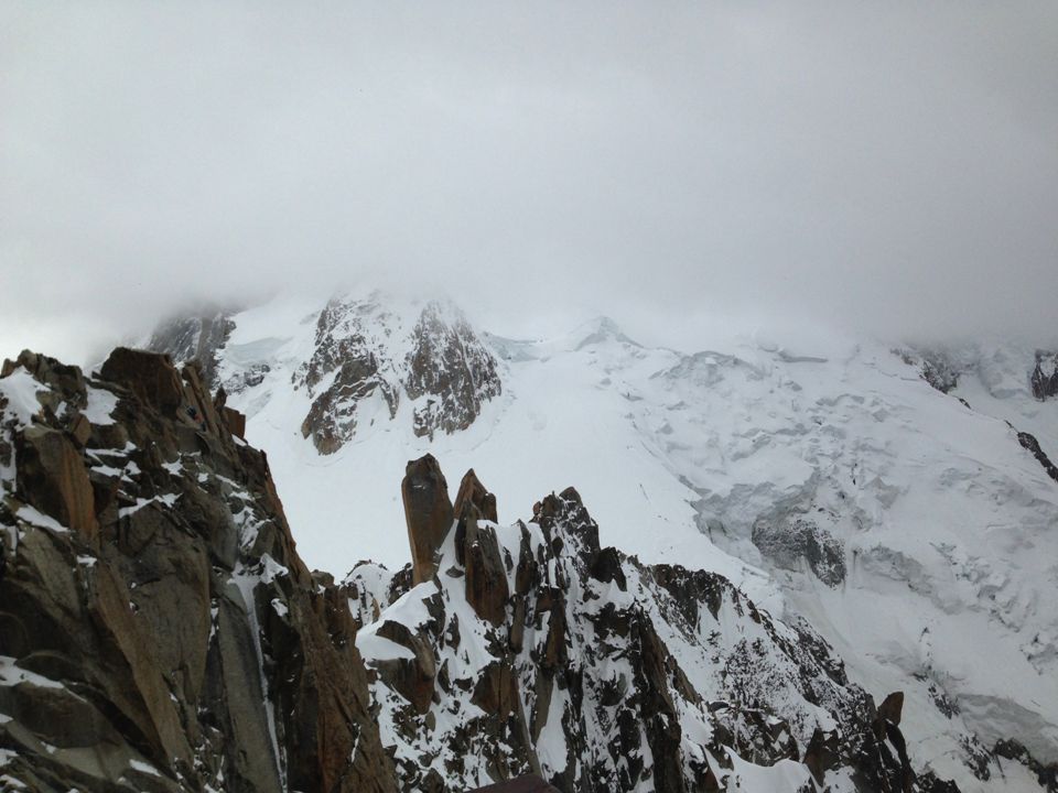
Mountains “les montagnes” 1. The Alps “les Alpes” youngest and highest range Mount Blanc, highest peak in Europe 15,780 ft/4807 m 2. The Pyrenees “les Pyrénées” 2 nd highest separate France from Spain “Basque country”, Andorra

9
3. The Vosges “Les Vosges” Alsace & Lorraine, near German border 4. The Jura “le Jura” in the east, border with Switzerland “Jurassic” 5. The Central Plateau “Le Massif Central” Oldest range and lowest south central, extinct volcanoes Cave paintings, Lascaux

12
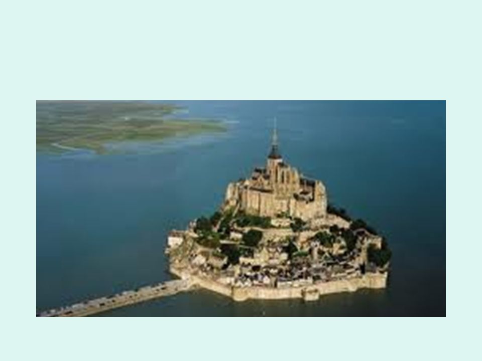
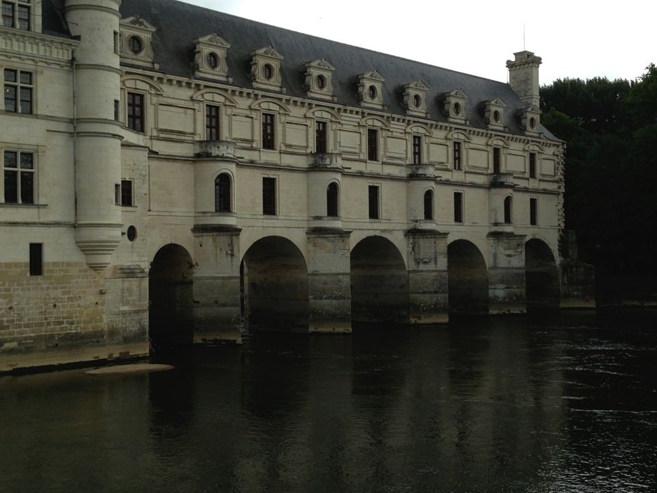
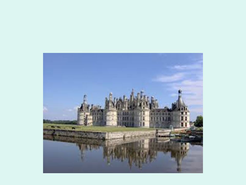
Rivers “les rivières” 1.The Seine “la Seine” Runs north through Paris, into English Channel Most navigable 2.The Loire “La Loire” Longest, least navigable Castles Flows west into the Atlantic

15
3.La Garonne Flows from the Pyrenees through Bordeaux into the Atlantic 4.Le Rhône Flows through Lyon into the Mediterranean Forms la Camargue delta – wild ponies and birds Hydro-electric power 5. Le Rhin Border between France and Germany

16
Cities “les villes” 1.Paris – capital, largest 2.Marseilles – south 3.Lyon -- silk, gastronomy 4.Lille -- north, textiles 5.Bordeaux -- east, wine 6.Avignon, Strasbourg, Cannes, Le Mans, Rouen, Tours, Reims

17
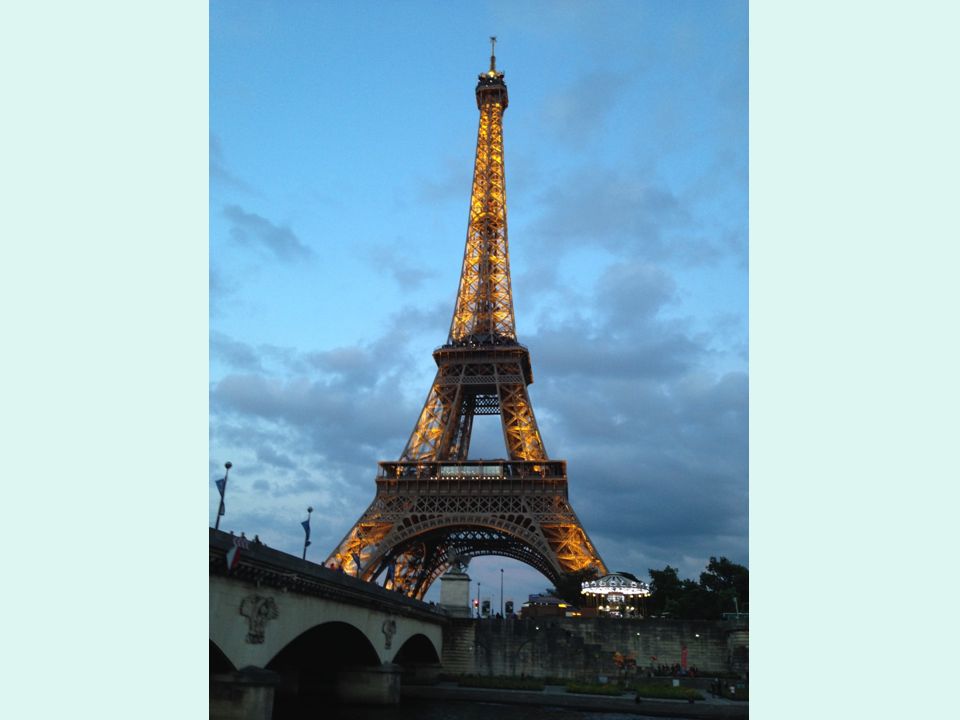
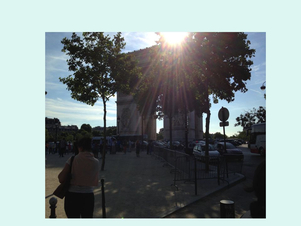
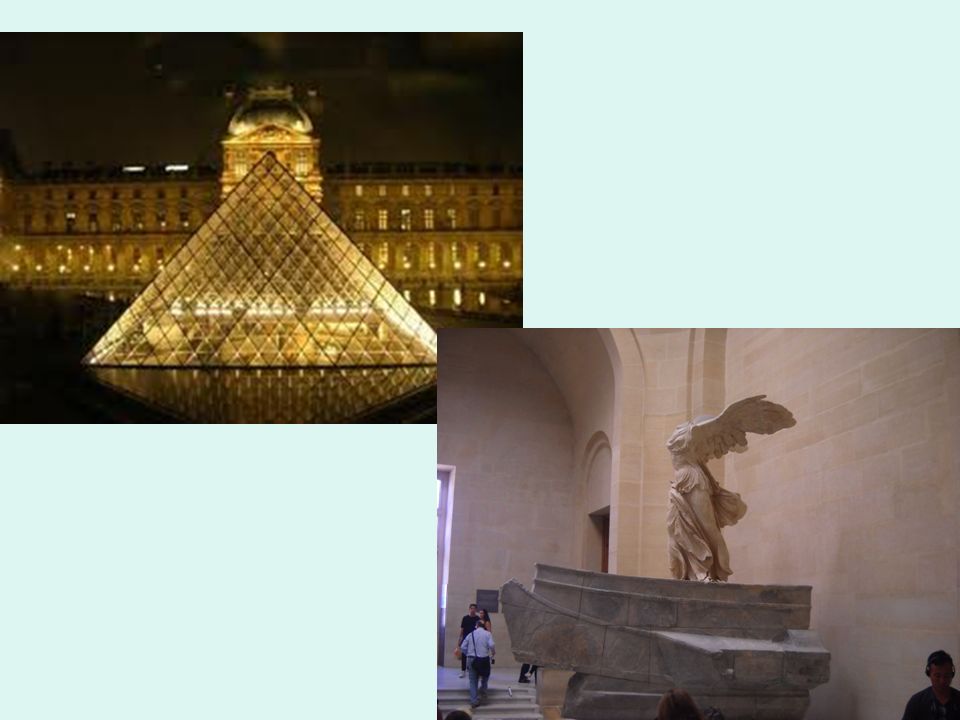
Paris

Similar presentations


 Locate on a world and regional political‐ physical map: the Danube River,>")


