Download presentation
Presentation is loading. Please wait.

1
Lights in the Water Chris Elvidge and Edward H. Erwin, NOAA-NGDC (chris.elvidge@noaa.gov) chris.elvidge@noaa.gov Kimberly E. Baugh, Ara T. Howard, Benjamin T. Tuttle University of Colorado Cooperative Institute for Research in the Environmental Sciences (CIRES January 24, 2007

2
The DMSP Operational Linescan System (OLS) Detects Lights Present At The Earth’s Surface Polar orbit with 3000 km swath yields nightly global coverage Polar orbit with 3000 km swath yields nightly global coverage Coarse resolution – 2.7 km ground sample distance Coarse resolution – 2.7 km ground sample distance NGDC makes annual cloud-free composites NGDC makes annual cloud-free composites Images presented here are color composites in a equal area Mollweide projection made with: Images presented here are color composites in a equal area Mollweide projection made with: 2006 = red 2003 = green 2000 = blue
 Detects Lights Present At The Earth’s Surface Polar orbit with 3000 km swath yields nightly global coverage Polar orbit with 3000 km swath yields nightly global coverage Coarse resolution – 2.7 km ground sample distance Coarse resolution – 2.7 km ground sample distance NGDC makes annual cloud-free composites NGDC makes annual cloud-free composites Images presented here are color composites in a equal area Mollweide projection made with: Images presented here are color composites in a equal area Mollweide projection made with: 2006 = red 2003 = green 2000 = blue")
3
Korea and Japan

4
China

5
South China and Vietnam

6
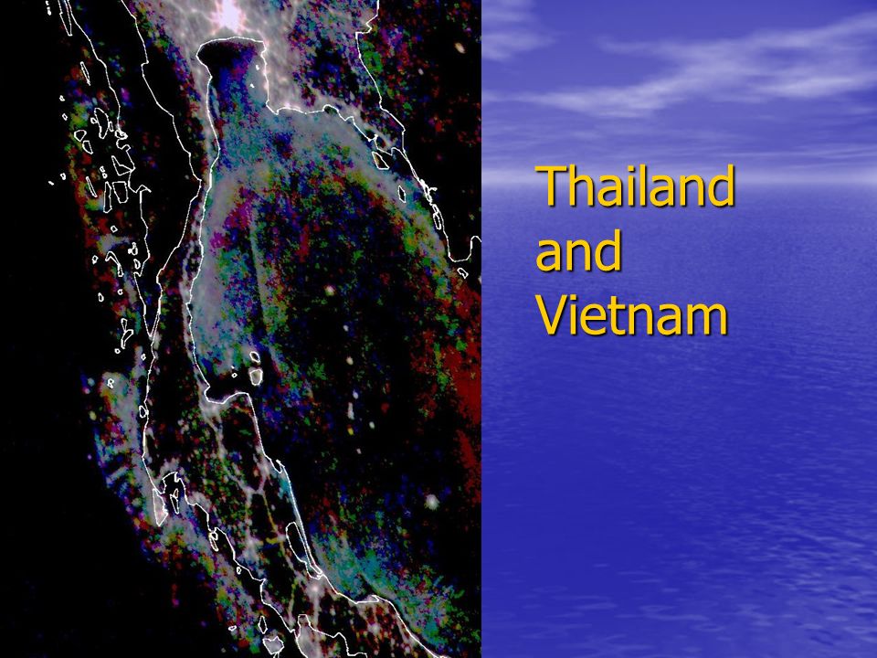
Thailand and Vietnam

8
Philippines

9
Luzon

10
Visayas

11
Palawan

12
Mindinao

13
Summary There are a number of areas in Asia where heavily-lit fishing boats are detected There are a number of areas in Asia where heavily-lit fishing boats are detected NGDC has a fifteen year time series which shows that the fishing boat activity is highly dynamic spatially and temporally NGDC has a fifteen year time series which shows that the fishing boat activity is highly dynamic spatially and temporally The detected lights have not yet been intersected with aquaculture The detected lights have not yet been intersected with aquaculture The use of near real time OLS data in fisheries management is being explored by Japan and Korea. The use of near real time OLS data in fisheries management is being explored by Japan and Korea.

Similar presentations


 May 6-11, 2011 (light red) Permanent Water (blue)>")


