Download presentation
Presentation is loading. Please wait.

1
CIVIL A [3 RD SEM ] TOPIC :- Plane Table Survey GROUP 1O ENROLLMENT NO DARSHAN R MEHTA 130510106032 KOMAL N MALVANIYA 130510106030 HARDIK G MAKWANA 130510106029
![CIVIL A [3 RD SEM ] TOPIC :- Plane Table Survey GROUP 1O ENROLLMENT NO DARSHAN R MEHTA KOMAL N MALVANIYA HARDIK G MAKWANA](http://images.slideplayer.com/39/10963783/slides/slide_1.jpg "CIVIL A [3 RD SEM ] TOPIC :- Plane Table Survey GROUP 1O ENROLLMENT NO DARSHAN R MEHTA KOMAL N MALVANIYA HARDIK G MAKWANA")
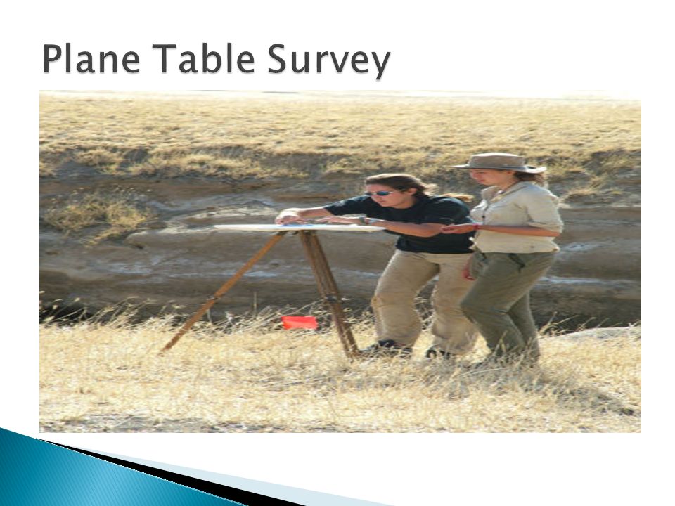
3
Plane Tabling is a graphical method of surveying in which the field work and plotting are done simultaneously. Useful to fill in details between stations fixed by triangulation or theodolite traversing. Particularly adapted for small scale or medium scale mapping in which great accuracy in detail is not required.

5
Alidade Drawing board U-fork with plumb Through compass Spirit level Measure tape Scale, pencil etc.

6
Plain Alidade

7
Spirit Level

8
i) It is most suitable for preparing small-scale maps. ii) It is most rapid. iii) The field book is not necessary as plotting is done in the field concurrently with the field work, and hence the mistakes in booking the field notes are avoided. iv) The surveyor can compare the plotted work with the actual features of the area surveyed and thus can ascertain if it represents them properly. v) It is particularly advantageous in magnetic areas where compass survey is not reliable. vi) It is less costly than a theodolite survey. vii) No great skill is required to prepare a satisfactory map.
 It is most rapid. iii) The field book is not necessary as plotting is done in the field concurrently with the field work, and hence the mistakes in booking the field notes are avoided. iv) The surveyor can compare the plotted work with the actual features of the area surveyed and thus can ascertain if it represents them properly. v) It is particularly advantageous in magnetic areas where compass survey is not reliable. vi) It is less costly than a theodolite survey. vii) No great skill is required to prepare a satisfactory map..")
10
THANK YOU

Similar presentations


>")


