Download presentation
Presentation is loading. Please wait.

1
Running Water Chapter 10

2
Learning Goals: Rivers 1. Describe and illustrate the water (hydrologic) cycle. 2. Describe and illustrate the shape and major features of a stream; explain why streams become wider, deeper, and flow faster downstream. 3. Compare and contrast bedload, suspended load, and dissolved load, and explain how each moves in the water of a stream. 4. Define base level, and explain how it relates to sediment erosion, transportation, and deposition. 5. Describe the major types of stream channel patterns, and illustrate their major features; explain factors influencing channel pattern. 6. Explain how modifying river channels affects flood size and frequency.

3
Hydrologic cycle The hydrologic cycle defines how Earth’s Earth’s water supply is circulated Processes involved in hydrologic cycle Precipitation Evaporation Infiltration Runoff Transpiration

4
The hydrologic cycle

6
Sources of Earth’s water

7
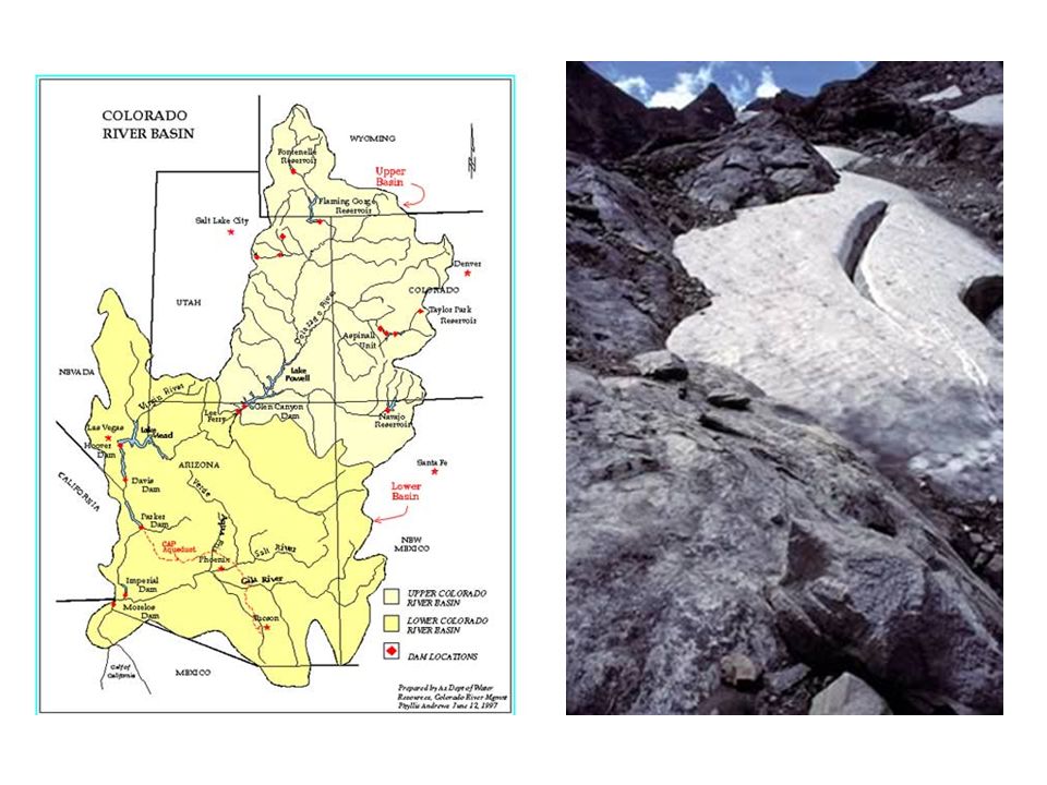
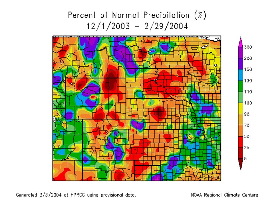
Running water Begins as sheetflow Infiltration is controlled by –Intensity and duration of rainfall –Prior wetted condition of the soil –Soil texture –Slope of the land –Nature of the vegetative cover –Runoff of snowmelt in Colorado only occurs when soil is saturated. So if not enough snow falls in a given winter, we may not get the runoff to Front Range cities is it just melts in place and wets the soil (but does not saturate it.

10
Clicker Question: When during the year is runoff in creeks in the Front Range of Colorado likely to be consistently the highest (over periods of weeks)? A)In the winter after large snowfalls B) In the spring when snow melts C) In the summer after rainshowers D) In the fall
In the winter after large snowfalls B) In the spring when snow melts C) In the summer after rainshowers D) In the fall.")
11
Running water Streamflow Factors that determine velocity –Gradient, or slope –Channel characteristics including shape, size, and roughness –Discharge – the volume of water moving past a given point in a certain amount of time

12
Running Water Changes from upstream to downstream Profile –Cross-section of a stream –From head (headwaters) to mouth of stream –Profile is a smooth curve –Gradient decreases downstream Factors that increase downstream –Velocity –Discharge –Channel size
 to mouth of stream –Profile is a smooth curve –Gradient decreases downstream Factors that increase downstream –Velocity –Discharge –Channel size")
13
Longitudinal profile of a stream

14
Clicker Question: What section of Boulder Creek has the highest gradient A) The section in the Plains near the Platte River B) The section in the Indian Peaks headwaters C) The section that runs through Boulder D) The section that runs through Nederland
 The section in the Plains near the Platte River B) The section in the Indian Peaks headwaters C) The section that runs through Boulder D) The section that runs through Nederland")
15
Running water Changes from upstream to downstream Gradient and channel roughness decrease downstream Base level and graded streams Base level is the lowest point to which a stream can erode

16
Base level and graded streams Two types of base level –Ultimate (sea level) –Local or temporary Changing conditions causes adjustment –Raise base level = deposition –Lower base level = erosion
 –Local or temporary Changing conditions causes adjustment –Raise base level = deposition –Lower base level = erosion")
17
Adjustment of base level to changing conditions

18
Clicker Question: What is the physical result of placing large dams on rivers? A) The reservoirs eventually fill with sediment B) Rivers decrease their power upstream of the dam (and ability to downcut) C) Rivers contain less sediment downstream of the dam D) Ecosystems downstream change as a result of less flood frequency E) All of the above
 The reservoirs eventually fill with sediment B) Rivers decrease their power upstream of the dam (and ability to downcut) C) Rivers contain less sediment downstream of the dam D) Ecosystems downstream change as a result of less flood frequency E) All of the above.")
19
A waterfall results from change in local base level

20
Local change in baselevel affects river profiles

21
Running water Transport of sediment by streams Transported material is called load Types of load –Dissolved load –Suspended load –Bed load Capacity –maximum load stream transports

22
Suspended load - confluence Green & Colorado Rivers in Canyonlands, Utah

23
Suspended load in small stream after rainstorm - eastern US

24
Competence maximum particle size a stream transports Determined by the stream’s velocity Deposition of sediment by a stream Caused by a decrease in velocity Competence is reduced Sediment begins to drop out

25
Deposition of sediment by a stream Channel deposits –Bars –Braided streams –Deltas Floodplain deposits –Natural levees – form parallel to the stream channel by successive floods over many years

26
A braided river in Alaska

27
A fan-delta in a glacial lake

28
Running water Deposition of sediment by a stream Alluvial fans –Develop where a high-gradient stream leaves a narrow valley –Slopes outward in a broad arc

29
An alluvial fan in Death Valley

30
Lawn Lake Fan - RMNP

31
Lawn Lake prior to dam breach

32
Lawn Lake Fan New lake formed upstream from fan

33
Boulders that comprise fan deposit

34
Running water Deposition of sediment by a stream Deltas –Forms when a stream inters an ocean or lake –Consists of three types of beds –Foreset beds –Topset beds –Bottomset beds

35
Deltas have strata deposited in a characteristic geometry

36
The Mississippi River Delta changes location with time

37
Where is the Mississippi River likely to move next? A)Its unlikely to move again B)Into the Atchafalaya swamp C)Into the large lake near New Orleans D) Into the area marked “5” on the map below
Its unlikely to move again B)Into the Atchafalaya swamp C)Into the large lake near New Orleans D) Into the area marked 5 on the map below.")
38
Stream valleys Most common landforms on Earth’s surface Two general types of stream valleys –Narrow valleys –V-shaped –Downcutting toward base level –Can include rapids and waterfalls

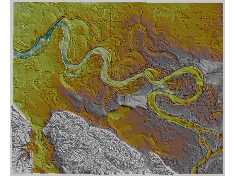
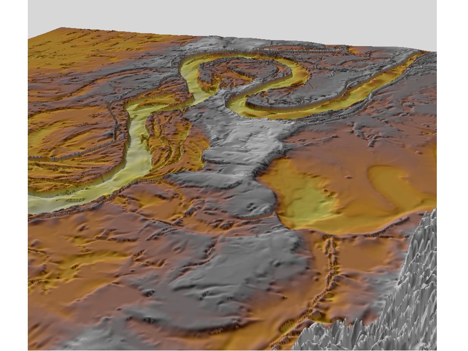
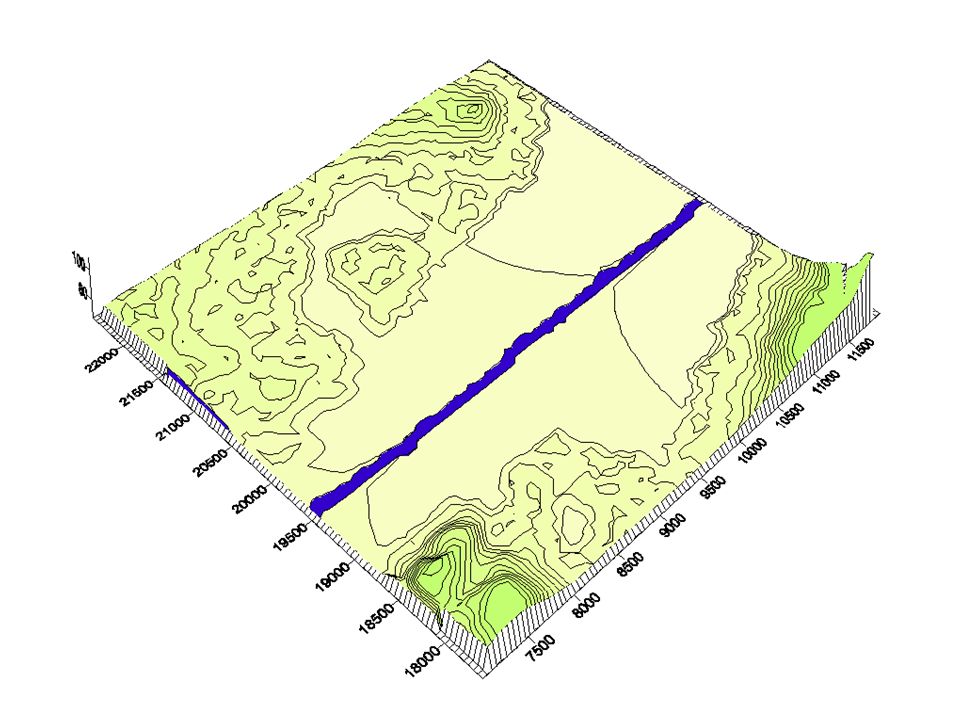
39
Stream valleys Features of wide valleys often include –Floodplains –Erosional floodplains –Depositional floodplains –Meanders –Cut bank and point bar –Cutoffs and oxbow lakes

40
Formation of natural levees by repeated flooding

43
Erosion and deposition along a meandering stream

44
Learning about cutbank migration the hard way! Where should this person have located their house? A)On the pointbar B)Further downstream on another cutbank C) Further upstream on another cutbank C) 50 feet away from the river on the cutbank
On the pointbar B)Further downstream on another cutbank C) Further upstream on another cutbank C) 50 feet away from the river on the cutbank.")
46
Where should you locate your house in this region? A)In the floodplain next to the river B)In the floodplain away from the river C) On the bluff on the edge of the floodplain D) On the bluff away from the edge of the floodplain B) A) C) D)
In the floodplain next to the river B)In the floodplain away from the river C) On the bluff on the edge of the floodplain D) On the bluff away from the edge of the floodplain B) A) C) D).")
47
Incised meanders and stream terraces Incised meanders –Meanders in steep, narrow valleys –Caused by a drop in base level or uplift of region

48
An abandoned meander in the Green River (Canyonlands, UT)
")
49
Development of an oxbow lake by meander cutoff

50
An oxbow lake

51
Where is cutoff likely to occur here? A) B) D) C)
 B) D) C)")
52
Question: Where is cutoff likely to first occur here? A) B) D) C)
 B) D) C)")
53
Stream terraces Terraces –Remnants of former floodplain –River adjusts to drop in base level by downcutting

54
River terraces form in floodplain Further incision cuts a new terrace Terraces can be above deposited river sediment (Fill Terrace) or above eroded rock (Strath Terrace)
 or above eroded rock (Strath Terrace)")
55
A flight of river terraces

56
Floods and flood control Floods are the most common and most destructive geologic hazard Causes of flooding –Result from naturally occurring and human- induced factors

57
Floods and flood control Flood control –Engineering efforts –Artificial levees –Flood-control Dams –Channelization –Nonstructural approach through sound floodplain management

58
What are the effects of flood control (manmade levees) and straightening of the channel by artificial river cutoffs) do to the Mississippi River? A)Large floods increase in severity B)Large floods decrease in severity C)Water runs faster D)Water runs slower E) A and C
Large floods increase in severity B)Large floods decrease in severity C)Water runs faster D)Water runs slower E) A and C.")
59
End Rivers

60
Add to slideshow… Grand canyon, deeper into canyon, flat floodplain above. Show how baselevel is changed, use next to slide with knickpoint propagating upstream from waterfall… Staggered running track, crack the whip - do outside on the grass… one student rotates in place, spins others around at faster speed… Add images to show how Mississippi is kept out of Atchafalaya - river works? See what its called in McPhee’s The Control of Nature…

Similar presentations