Download presentation
Presentation is loading. Please wait.

1
Map Scale http://www.youtube.com/watch?v=wpIr2AEYyCU

2
What is Scale? A scale on a map is the relationship between the physical object in “real” life, and the feature that represents it on a map.

3
Representing features on Maps. The Upper Glen Road, the first image, on the ground is displayed clearly on the map, the second image.

4
How to represent features correctly! A scale for the following pictures below would be A: 1 inch = 250 miles B: 1 inch = 20 miles A B

5
Small Scale The small scale map above shows the town of Killarney and the surrounding area. Shows more detail

6
Large Scale Shows “things” larger Easier to see street names, points of interest, etc.

7
How do you measure scale? 1. Use a ruler – if you have one 2. Measure the scale 3. Figure out what it is equivalent to 4. Measure from point A to point B 5. Multiply the distance 6. Get your mileage What if you don’t have a ruler? You have to remember it’s not a straight shot!

8
How do we do this………

9
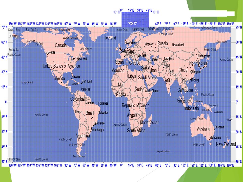
Find the distance using scale: Seattle to Denver Atlanta to Detroit Houston to Atlanta Los Angeles to San Francisco Chicago to Detroit New York to Boston Los Angeles to Boise Seattle to Boise New Orleans to Boston Miami to St Louis When finished, do the teal paper on the table on a ½ sheet of paper

Similar presentations


 Source: Jones Lang LaSalle Los Angeles, Miami Dallas, San.>")