Download presentation
Presentation is loading. Please wait.

1
Colorado River Water Resources Vulnerability Project for Hill Country Conservancy Daniel Zavala Araiza

2
Outline Hill Country Conservancy Defining vulnerability Mapping vulnerability Methodology Results Conclusions - Outline -

3
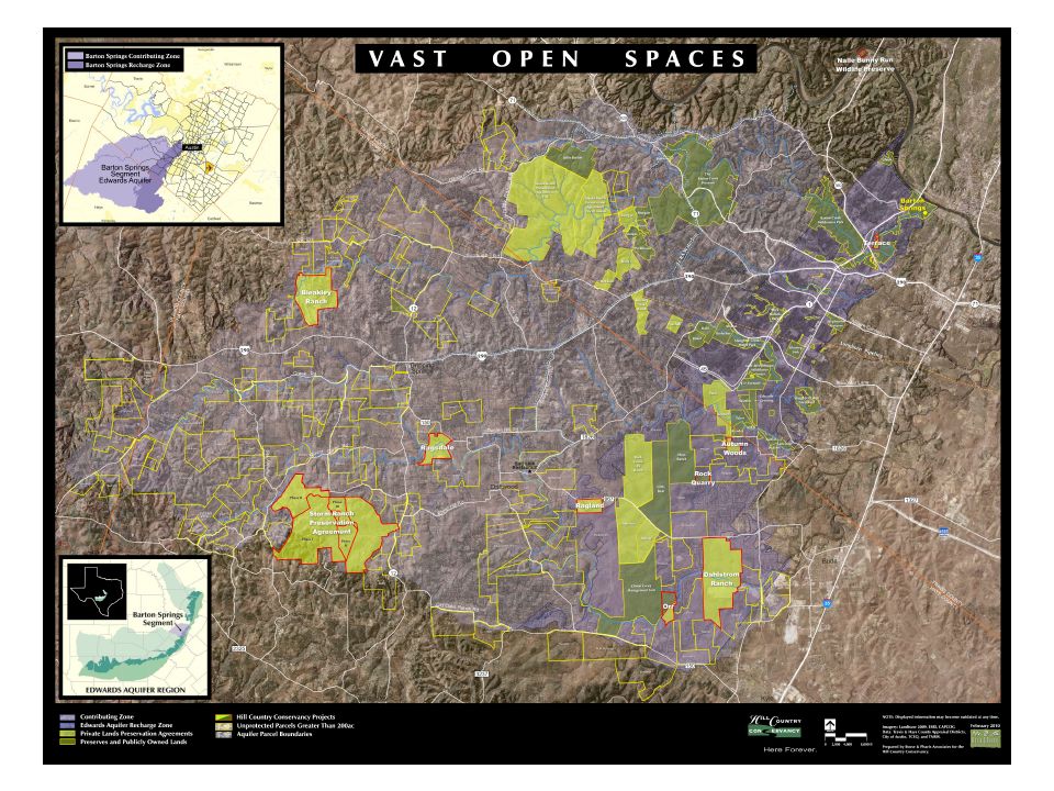
Land preservation agreements. Conserve a property in its natural state. Land conservation -> impact on aquifer system. - Hill Country Conservancy -

5
Development of a tool that is useful in determining which parts or parcels of land are more valuable in terms water resources vulnerability to focus on their preservation. - Objective - Yildirim, M., and Topkaya B., (2007), Groundwater Protection: A Comparative Study of Four Vulnerability Mapping Methods. Clean 35 (6), 594 – 600.
, Groundwater Protection: A Comparative Study of Four Vulnerability Mapping Methods. Clean 35 (6), 594 –")
6
Intrinsic geological + hydro geological characteristics which determine sensibility of groundwater/surface water to contamination. intrinsic vs. specific - Defining Vulnerability - All kinds of pollutants Vulnerability mapping Point sources (oil spills, leakage) Risk mapping
 Risk mapping.")
7
- Mapping Vulnerability - Yildirim, M., and Topkaya B., (2007), Groundwater Protection: A Comparative Study of Four Vulnerability Mapping Methods. Clean 35 (6), 594 – 600.
, 594 –")
8
- Selected Parameters - Soil thicknessSoil KSAT SlopeVegetation How much filtration? Amount of water that can be absorbed. - + thin thick How easily water flows through the soil. - + high low How likely water is to runoff? - + steep flat How much water will be impeded by vegetative cover? - + *ranking based on amount of ground cover

9
- Creating layers - Soil thickness Soil KSAT Slope Vegetation SSURGO NED (USGS) *raster NLC (USGS) *raster HCC study area Reclassify Vulnerability map Weighted sum
 *raster NLC (USGS) *raster HCC study area Reclassify Vulnerability map Weighted sum")
10
Soil Survey Geographic Database (SSURGO) - Soil Datasets - Soil Survey Geographic Data Base Data Use Information, USDA, 1995,pp.110 Soil Data Viewer for ArcMap
 - Soil Datasets - Soil Survey Geographic Data Base Data Use Information, USDA, 1995,pp.110 Soil Data Viewer for ArcMap")
11
Soil Thickness KSAT - Layers - Slope Vegetation

12
- Results -

13
Edwards Aquifer Hickory Aquifer

14
Add Cave Density as parameter. Compare groundwater to surface water vulnerability Sensibility analysis for relative importance of parameters in weighted sum. - Further work -

15
Vulnerability mapping as a valuable tool. Couple their use with other methods (risk mapping). Importance of parameters selected and their weight. - Conclusions -

Similar presentations

>")


