Download presentation
Presentation is loading. Please wait.

1
Tuesday, May 10 th Take out a brand new bellringer paper. Look at the following facts to the right and decide if it is describing China or Japan. If you don’t know, then guess! There are no wrong answers for these. Home of Samurai Main religion is Shintoism Can claim longest continuous history of any known culture Connected to wider world via the Silk Road Went Communist in 1945 Occupied by the United States after World War II

3
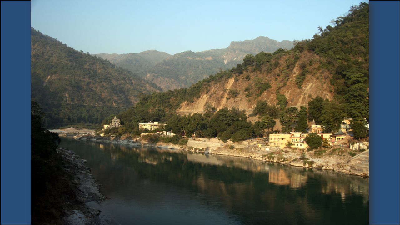
The Ganges River starts in the Himalayas and flows southeast through India and Bangladesh for more than 1,500 miles to the Indian Ocean. It is the most important river to the Indian subcontinent. It runs through India’s most fertile and densely populated areas. Because so many people live and work along the Ganges, the water in the river is heavily polluted. The name comes from a Hindu goddess and the river is considered sacred to the Hindu religion.

7
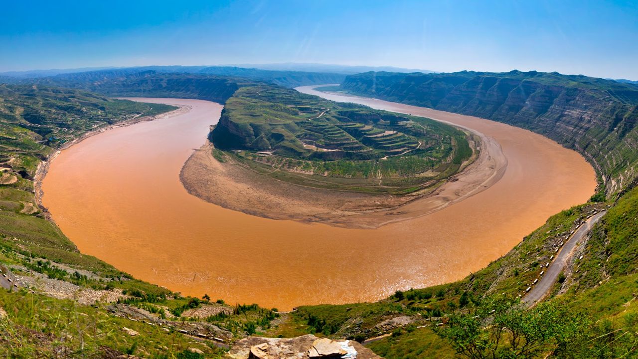
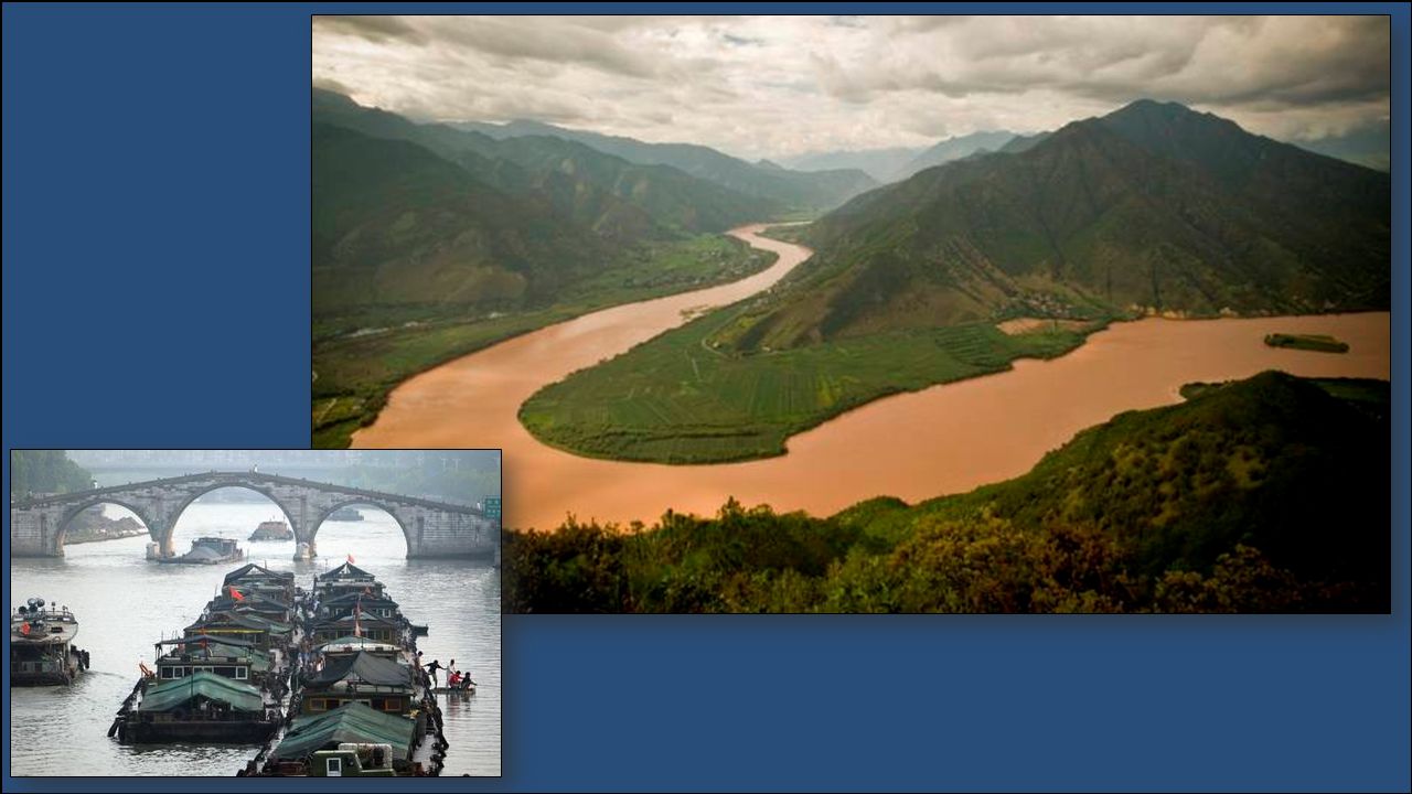
The Huang He, or Yellow River, begins in the mountainous plateau of Tibet and flows east to the Yellow Sea. This is China’s second longest river. Chinese civilization began in the central area of this river basin. It’s named for the muddy yellow silt that it carries along its path to the Gulf of Bohai in the northern Yellow Sea. The silt creates rich topsoil for farmers. Annual floods make the river’s path dangerous. It’s nickname is “China’s Sorrow” because of the frequent flooding.

10
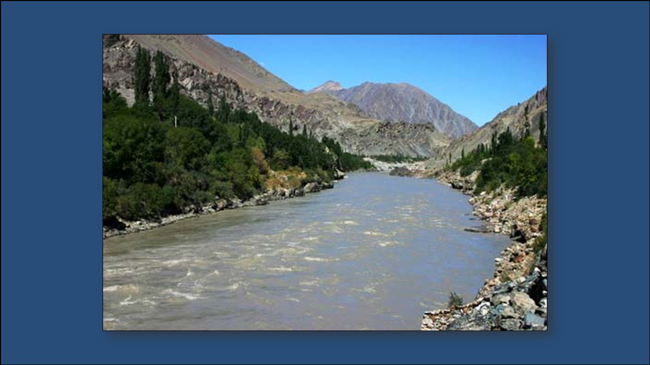
The Indus River begins in the Himalayas in Tibet and runs through India and Pakistan. It flows about 2,000 miles through desert before emptying into the Arabian Sea. It provides water for one of the largest irrigation systems in the world. The Indus River valley is one of the richest farming areas in this region.

13
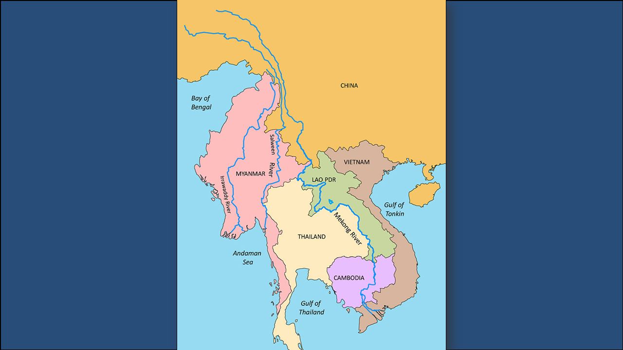
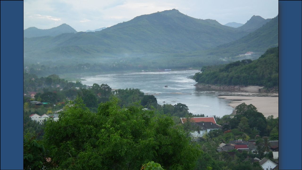
The Mekong River begins in the Tibetan Plateau and flows south through China, Myanmar, Thailand, Laos, Cambodia, and finally Vietnam, where it empties into the South China Sea. The Mekong River delta has some of the richest farming land in the region. One of the region’s most important crops, rice, is grown in the Mekong Basin.

17
It’s the largest and longest river in China (over 3,400 miles) and the third longest in the world. The Yangtze River begins in the Tibetan Plateau and travels east until it reaches the East China Sea. The Yangtze is extremely important for China because it provides hydroelectric power, water for irrigation, and transportation for cargo ships. The Yangtze and Huang He Rivers are connected by one of the world’s oldest canal systems, the Grand Canal. Some parts were built over 2,000 years ago.

20
Map activity Designate a group leader. Grab an atlas for everyone at your table along with maps. Create your own legend, with different colors for rivers, mountains, deserts, seas, and other landforms. Make sure to label them! Around page 85 is where you will find your information We will regroup when the 10 minute timer goes off

21
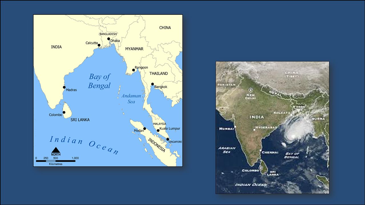
The Bay of Bengal is an arm of the Indian Ocean with India to its west and Myanmar to its east. Many large rivers, including the Ganges River, flows into the bay.

24
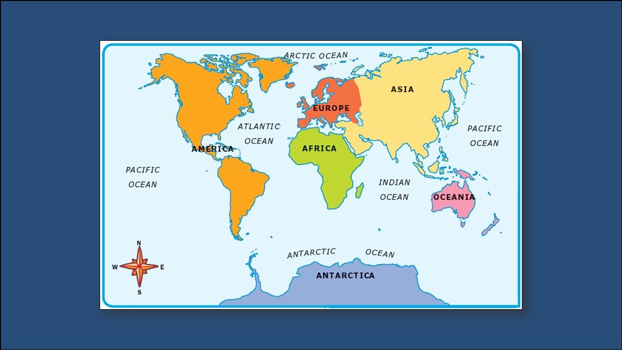
The Indian Ocean is the third largest of the world’s five oceans. It lies between Africa to the west, Asia to the north, Australia to the east, and the Southern Ocean to the south.

26
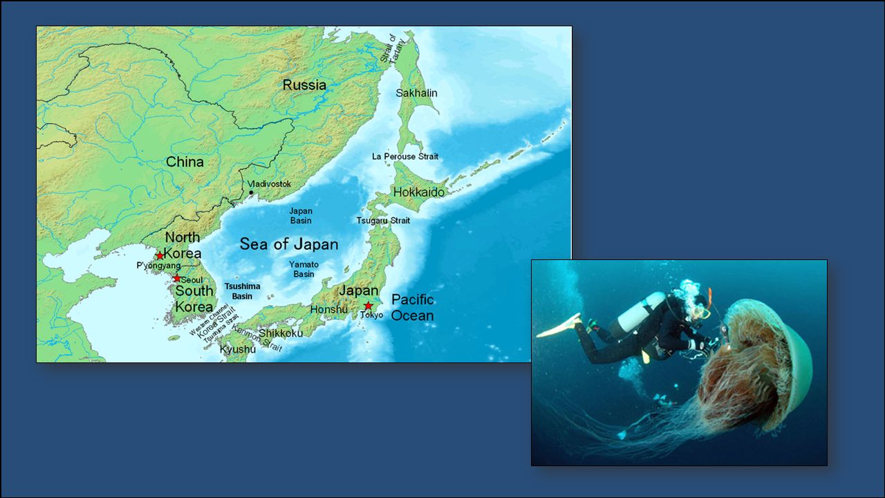
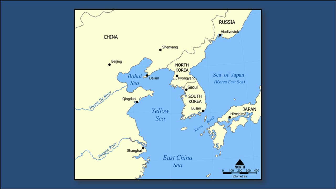
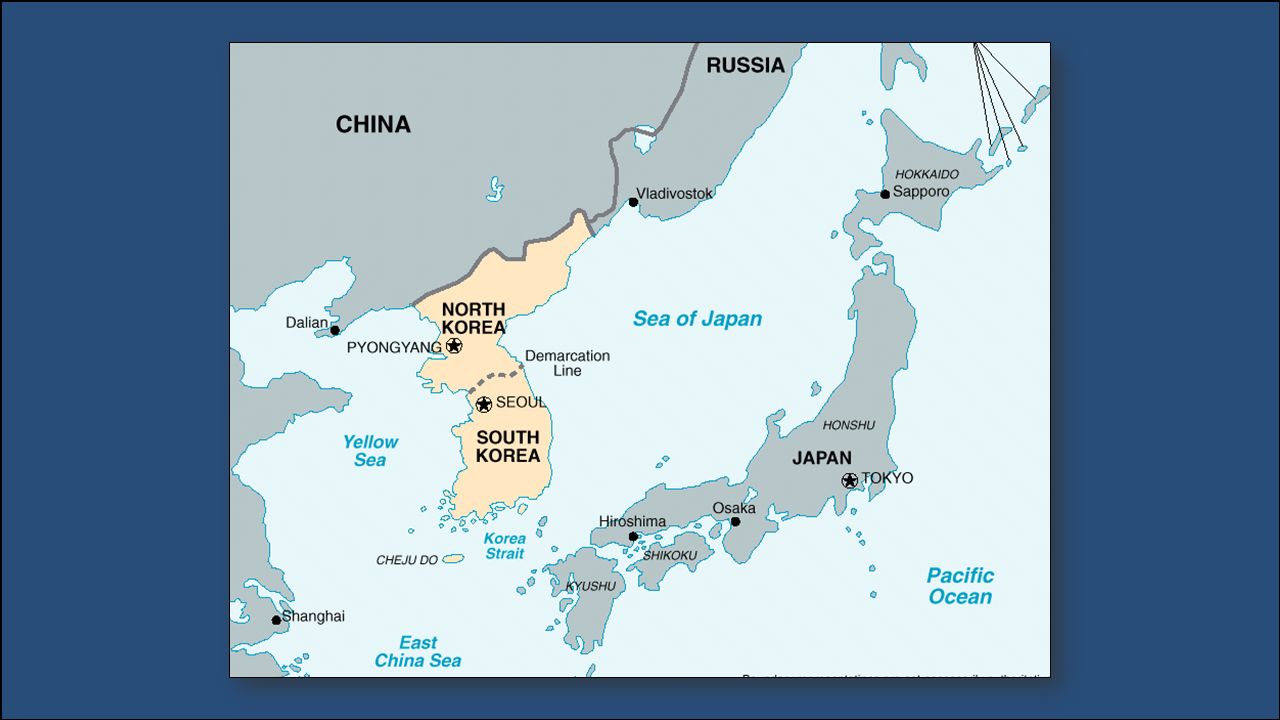
The Sea of Japan is a small sea that is bound by Russia to the north, the Korean Peninsula to the west, and Japan to the east. It is an arm of the Pacific Ocean that lies between the Asian continent and Japan.

29
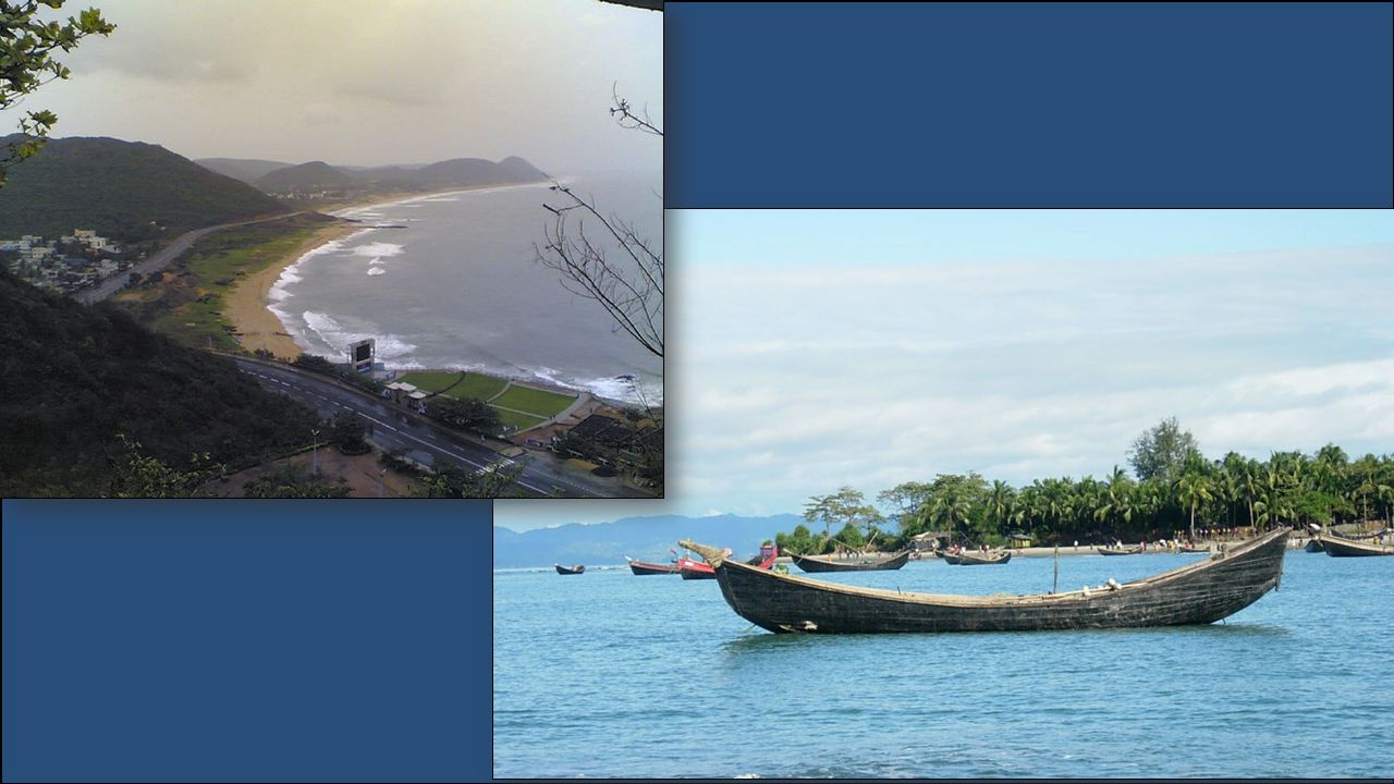
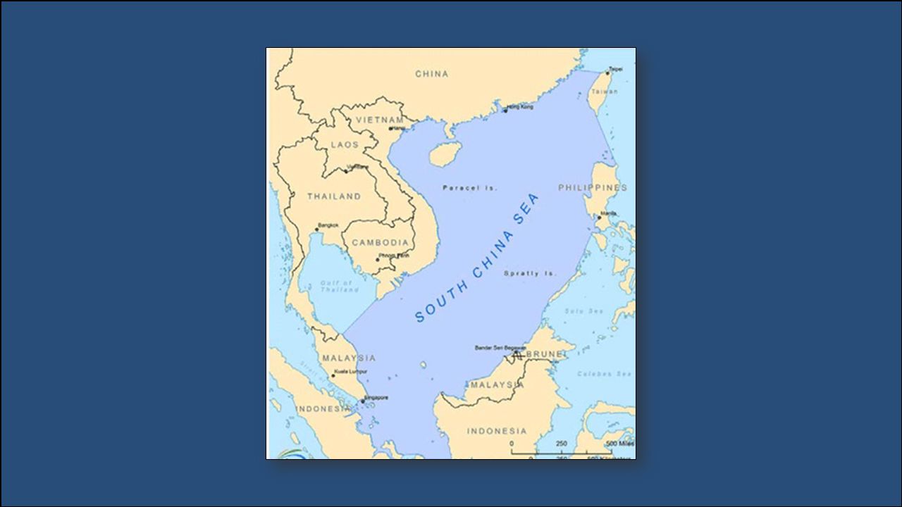
The South China sea lies between Vietnam and the Philippines. The Mekong River empties into the South China Sea. Weather in the region is marked by violent monsoons and typhoons.

32
Directions: I. Draw and label the physical features listed below on the map of Asia. Ganges River Mekong River Huang He (Yellow River) Yangtze River Indus River Himalayan Mountains Taklimakan Desert Gobi Desert II. Label the following physical features on the map of Asia. Bay of Bengal Yellow Sea Indian Ocean Sea of Japan Korean Peninsula South China Sea
 Yangtze River Indus River Himalayan Mountains Taklimakan Desert Gobi Desert II. Label the following physical features on the map of Asia. Bay of Bengal Yellow Sea Indian Ocean Sea of Japan Korean Peninsula South China Sea.")
33
Map activity Designate a group leader. Grab an atlas for everyone at your table along with maps. Create your own legend, with different colors for rivers, mountains, deserts, seas, and other landforms. Make sure to label your countries and these landforms! Around page 86 is where you will find your information

34
v v The Yellow Sea is an arm of the Pacific Ocean that lies between China and Korea. The Huang He (Yellow River) empties in the Yellow Sea. It becomes the East China Sea south of the Korean Peninsula.
 empties in the Yellow Sea. It becomes the East China Sea south of the Korean Peninsula..")
37
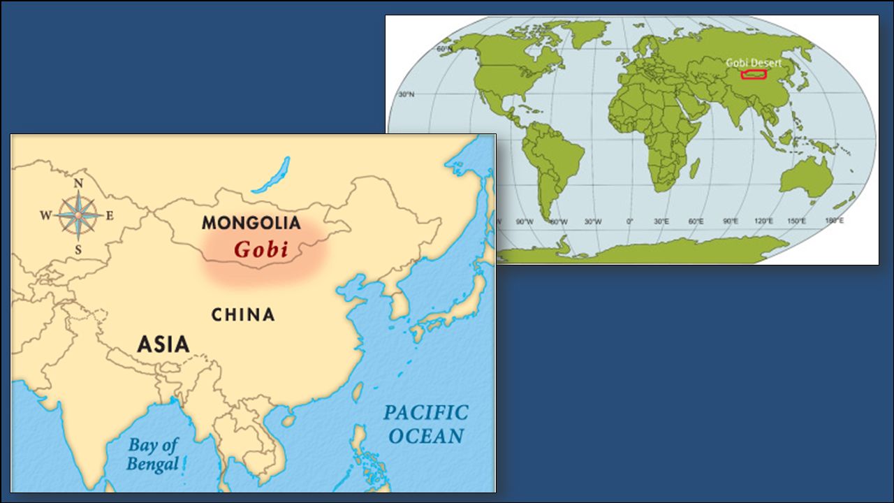
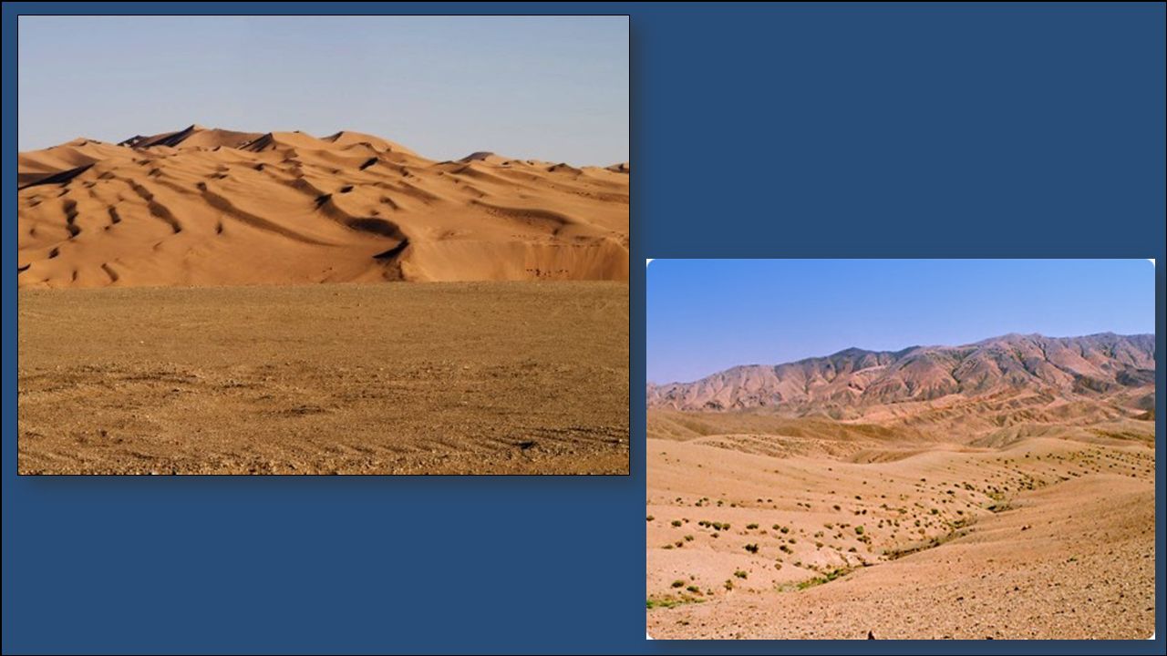
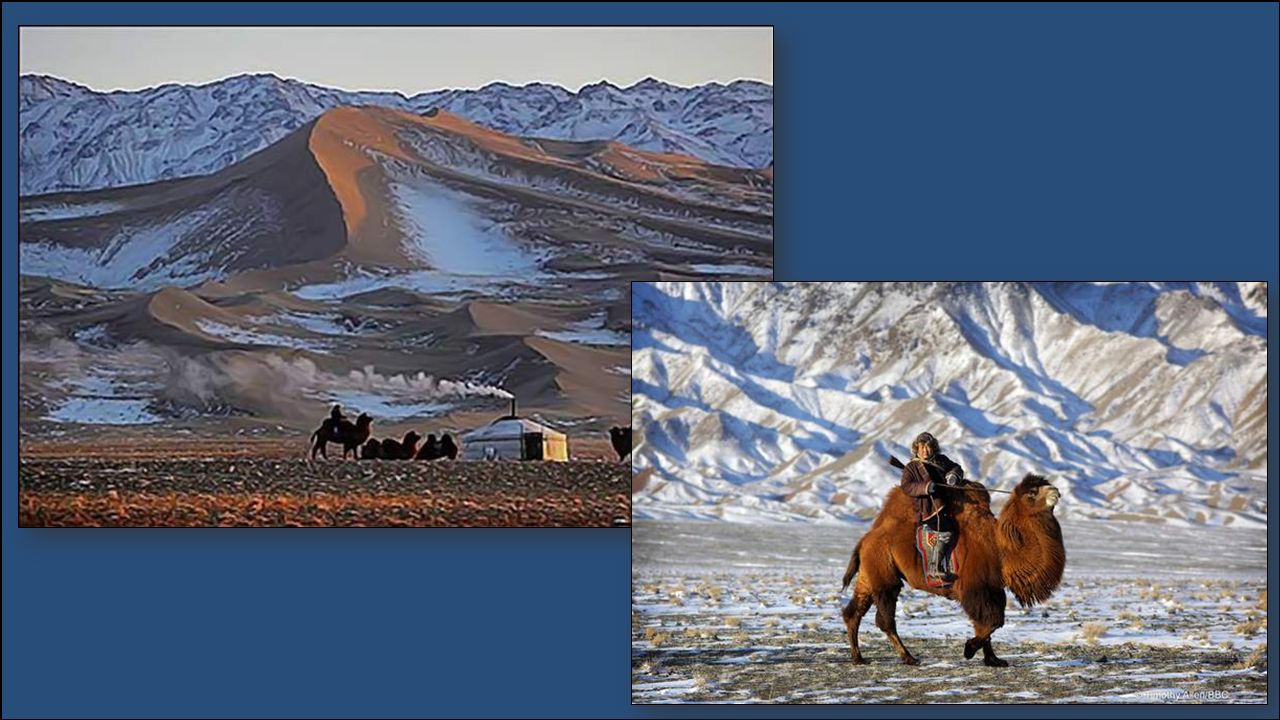
The Gobi Desert is Asia’s largest desert. It stretches across southern Mongolia and northern China. Much of the Gobi Desert is covered with sand and rocks. It is known as “Shamo”, the Chinese word for “sand desert”. It can be one of the hottest and also one of the coldest places on earth.

41
The Taklimakan Desert lies between two rugged mountain ranges in northwestern China. It is over 600 miles in length, making it one of the longest deserts in the world. Giant sand dunes cover 85% of its surface.

44
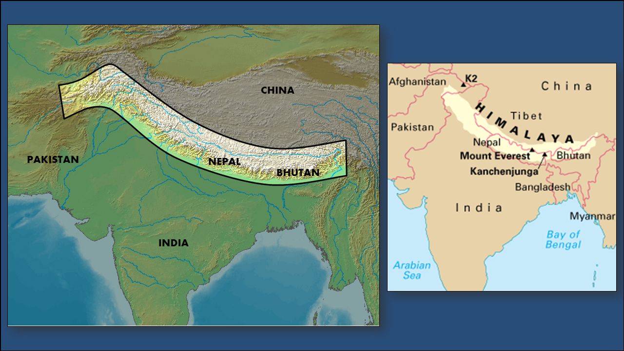
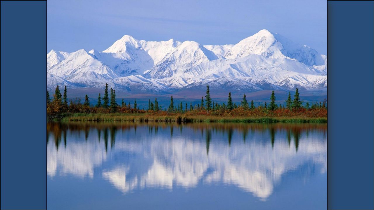
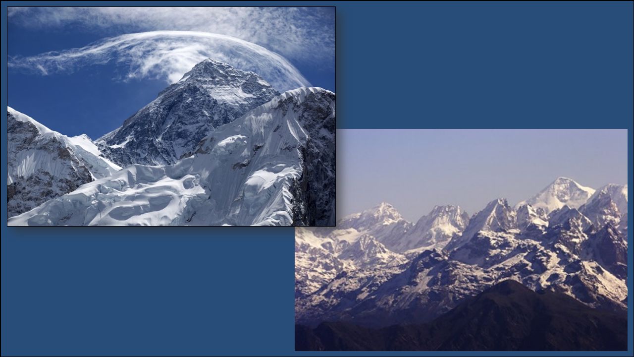
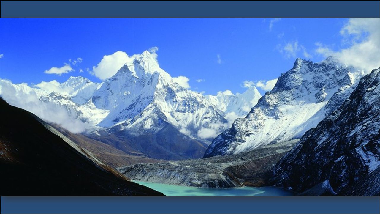
The Himalayas lie along the northern edge of the Indian subcontinent and form the southern border of China. The mountains stretch for about 200 miles. The Himalayan mountain range is the world’s highest mountain region. Nine of the world’s ten largest peaks are located here, including Mt. Everest, the world’s highest mountain. It is sometimes called “the roof of the world” because of the area’s high altitudes.

49
The Korean Peninsula is a mountainous peninsula that juts out of northeastern China in between the Yellow Sea and the Sea of Japan. Over half of the peninsula is made up of mountains, but there is still plenty of rich farmland. Since 1948 (end of World War II), the peninsula has been divided into two countries: North Korea and South Korea.
, the peninsula has been divided into two countries: North Korea and South Korea..")
Similar presentations


 FSMS Standard SS7G9.a Standard SS7G9.a Days 1-3 Days 1-3.>")

 FSMS Standard SS7G9.a>")

 Largest Mountain chain in the world.>")
