Download presentation
Presentation is loading. Please wait.

1
GPS for Geography teachers Exeter University

2
GPS for Geography teachers – What is GPS? – Why use GPS? – How does a GPS unit work? – How do I use the GPS data? – Where can I find out more? – What are some basic teaching ideas using GPS?

3
What is GPS? The Global Positioning System (GPS) is a worldwide radio-navigation system formed from a constellation of 24 satellites and their ground stations. GPS uses these "man-made stars" as reference points to calculate positions accurate to a matter of meters. In a sense it's like giving every square meter on the planet a unique address. These days GPS is finding its way into cars, boats, planes, construction equipment, movie making gear, farm machinery, even laptop computers.
 is a worldwide radio-navigation system formed from a constellation of 24 satellites and their ground stations. GPS uses these man-made stars as reference points to calculate positions accurate to a matter of meters. In a sense it s like giving every square meter on the planet a unique address. These days GPS is finding its way into cars, boats, planes, construction equipment, movie making gear, farm machinery, even laptop computers..")
4
Why use GIS? Navigation and positioning are crucial to so many activities and yet the process has always been quite cumbersome. GPS makes it simple. Enhance fieldwork and outdoor education. To introduce new ICT technology (links to the world of work too.) Enhance the accuracy and credibility of geographical fieldwork. Bring maps and aerial photographs to life. Essential safety and navigation aid (never get lost on Dartmoor again!) Opportunities for fun educational activities, for example treasure hunting. Cross-curricular links with maths science and PE.
 Enhance the accuracy and credibility of geographical fieldwork. Bring maps and aerial photographs to life. Essential safety and navigation aid (never get lost on Dartmoor again!) Opportunities for fun educational activities, for example treasure hunting. Cross-curricular links with maths science and PE..")
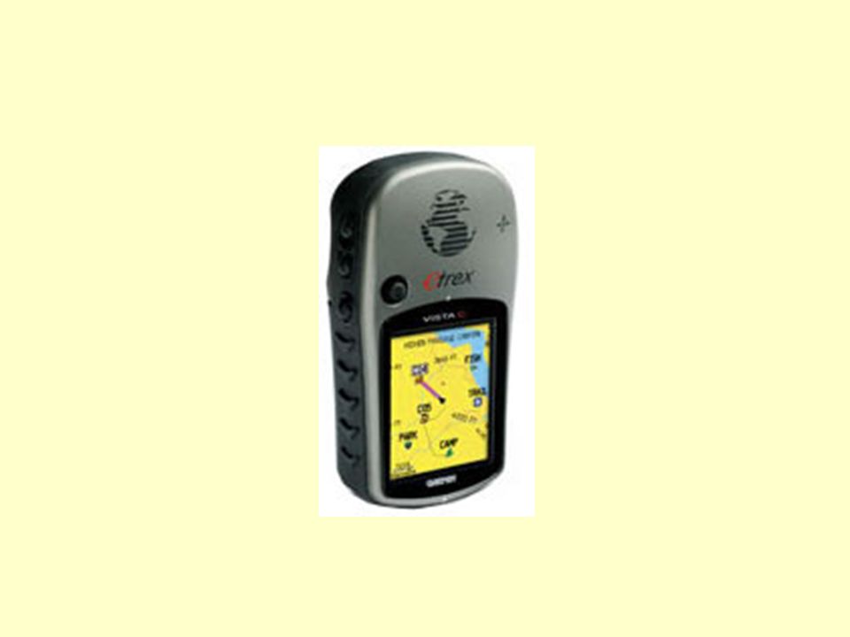
5
How does a GPS unit work? A basic handheld GPS should allow you to do the following: Fix a position using a variety of co-ordinate systems (latitude and longitude and British OS grid at the very least) Navigate along a set route. Record speed and distance data. Find a fixed point. Link to a PDA or computer to allowing the import and export of GPS data. which can then be analysed and mapped. Interact with a digital map or aerial photograph, for example Memory Map.Memory Map.
 Navigate along a set route. Record speed and distance data. Find a fixed point. Link to a PDA or computer to allowing the import and export of GPS data. which can then be analysed and mapped. Interact with a digital map or aerial photograph, for example Memory Map.Memory Map..")
7
How do I use the GPS data? Some digital map programs like Anquet and Memory Map will communicate directly with your GPS. There are several websites that will display your GPS waypoints and tracks. Options include Google Earth files, interactive maps, spectacular animations and coloured graphs. In order to make use of these services you need to be able to export data from your GPS. A third party application like Easy GPS is required to exchange data with a computer. GPS data is usually saved in.gpx format, and files of this type can be read by websites such as GPS Visualizer and Magnalox.Easy GPSGPS VisualizerMagnalox

8
Where can I find out more? GPS manufacturers: Garmin A well designed site with plenty of information about their equipment, as well as downloadable software updates and other information; for example does my GPS float? Garmin Teaching ideas: These sites contain links to large collections of US based school materials, and ideas for lessons on GIS and GPS. Lesson plan resources GIS /GPS in K12 education ArcLessons Lesson plan resources GIS /GPS in K12 education ArcLessons About GPS: Trimble Trimble are GPS manufactures who deserve credit for their excellent Shockwave presentation about the technology. The Global Positioning System Super detailed information about how GPS works! Trimble The Global Positioning System GPS data recording and management: Easy GPS Free GPS data management software that offers a user friendly interface. The essential download. GPS Visualizer This site offers the opportunity to create maps using your GPS data and an online generator. It gets better all the time and is a stunning free resource! Phone2GEarth and GE Track If you have a Nokia series 60 phone and a bluetooth GPS you'll need these indispensable and very cheap programs. One of the easiest and most rewarding ways into the technology. Track your phone in real time using 3D Tracking It's free, works brilliantly and if you trust students with your mobile, could make a great manhunt-type activity. Easy GPS GPS Visualizer Phone2GEarthGE Track3D Tracking

9
Where can I find out more? These sites offer mapping software for GPS data : Expert GPS Oziexplorer Memory Map Purveyors of the best OS digital mapping package, as well as indispensable products such as cables to link a PDA and GPS which you'll have a job finding anywhere else! Anquet Another option for digital maps that work well with a GPS. Wayfinder satellite navigation Brilliant mobile phone satellite navigation software that I recommend. Geocaching: Feeling energetic? Geocaching.com Geocache uk Other useful sites GPS information.net The ultimate GPS resource! GPS drawing A great activity for younger students Expert GPS Oziexplorer Memory Map Anquet Wayfinder satellite navigation Geocaching.com Geocache uk GPS information.net GPS drawing

Similar presentations


 users. A person hides a cache and.>")


