Download presentation
Presentation is loading. Please wait.

1
INSTITUTO DEL MAR DEL PERU REMOTE SENSING LABORATORY HIGH RESOLUTION AVHRR SST IN PERUVIAN COAST Carlos Paulino and Luis Escudero 25 June, 2010 cpaulino@imarpe.pe

2
Outline Introduction HRPT receive station HRPT system overview Line time data set Data and preprocessing Result Other applications Summary

3
High Resolution Sea Surface Temperature (SST) products in real time from AVHRR radiometer sensor on board NOAA polar satellites with 1 km spatial resolution received for the Instituto del Mar del Peru (IMARPE), since 1998. The information is used in diverse research field like monitoring events: El Niño (ENSO) La Niña, Upwelling and others. INTRODUCTION
 La Niña, Upwelling and others. INTRODUCTION.")
4
RECEIVING STATION OF SATELLITE IMAGES HRPT (High Resolution Picture Transmission) CAPTURE REFERENCE REPORT & MAPS ANALYSISPROCESSING
 CAPTURE REFERENCE REPORT & MAPS ANALYSISPROCESSING")
5
HRPT station The HRPT station receive NOAA satellite data from 12, 14, 16, 17 y 18. The images have a raw format *.HRP - 1.1 km resolution at nadir - 3000 km by swath The received data since 1998 are recorded Cds. La estación HRPT include: -Antenna GPS (Trimble) -Dish antenna -Feed Horn/Downconverter -Demodulator -COMPAQ server 2. HRPT System Overview
 -Dish antenna -Feed Horn/Downconverter -Demodulator -COMPAQ server 2. HRPT System Overview.")
6
DATA AND PREPROCESSING LOCAL SST OCEANOGRAPHIC ANALYSIS DATA SATELLITE PROGRAMATION BEST RAW DATA SELECTION BAND 3-5 CALIBRATION PROCESSING CLOUD MASKING - SST GEORREFERENCING SST DATA SMARTrack Software ….. 1B SST algorithm used

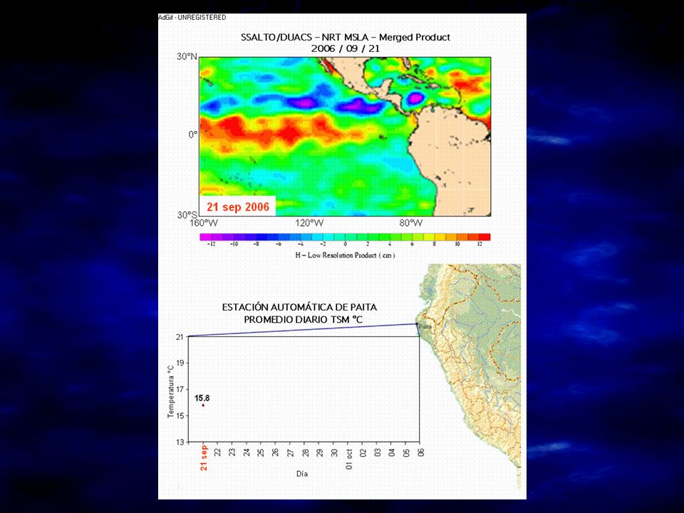
7
Infra-Red Band (10.3 - 11.3 µm)
")
8
DIGITAL IMAGE PROCESSING Visible band (1) L0 image SST
 L0 image SST")
9
SST AVHRR local NOAA 16 Users...? Cloud...!!!

10
SST AVHRR local NOAA 16

11
SST AVHRR local NOAA 16 NOAA 12

12
SST AVHRR local NOAA 16 NOAA 12

13
SST AVHRR local NOAA 16

14
SST AVHRR local

15
Upwelling Eddies Identifing ocean strutures?

16
98 2000 01 03 05 06 07 09 Line time AVHRR data set

17
SST NAVO k10

18
SST MODIS

19
Other environmental sensors used: - Thermal sensor (SST, thermal fronts, eddies) NOAA, GOES (weather) - Ocean Color Sensor (Chlrophyll 'a', primary production) SeaWiFS, Aqua-Modis - Sensor altimetry (sea level, currents, wave height) Topex Poseidon, Jason 1 - Scatterometer sensor (winds at different height levels, surface, 500m, 1000m) QuickScat (nov 09)
 NOAA, GOES (weather) - Ocean Color Sensor (Chlrophyll a , primary production) SeaWiFS, Aqua-Modis - Sensor altimetry (sea level, currents, wave height) Topex Poseidon, Jason 1 - Scatterometer sensor (winds at different height levels, surface, 500m, 1000m) QuickScat (nov 09)")
20
SATELLITE MONITORING OF "LA NIÑA“ LAKE 97-98 FOREST FIRESDETECTION FOREST FIRES DETECTION AVHRR OTHERS APPLICATION WITH AVHRR SENSOR

22
Summary SST from AVHRR is a good tool for detecting oceans Structures like eddie, fronts, etc… The images are used to forecast events like NIÑO SST image is principaly used for fishers AVHRR images are usefull for coastal applications Future Improve the use of split windows algorithm Develop sst information for scientific community Open framework and Share information with GHRSST community

23
Thanks

Similar presentations


-Polar Orbiting Environmental Satellite (POES) Orbital characteristics.>")


