Download presentation
Presentation is loading. Please wait.

1
What Does Google Earth Mean for the Social Sciences? Michael F. Goodchild University of California Santa Barbara

2
Milestones n 1992 Gore vision of Digital Earth n 1998 Gore Digital Earth speech n 2001 Earthviewer n 2003 ArcGlobe, NASA Worldwinds n 2005 Google acquisition, rebranding, redesign of user interface, release of KML n 2005 Microsoft Virtual Earth

3
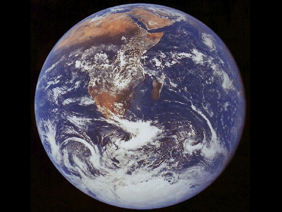
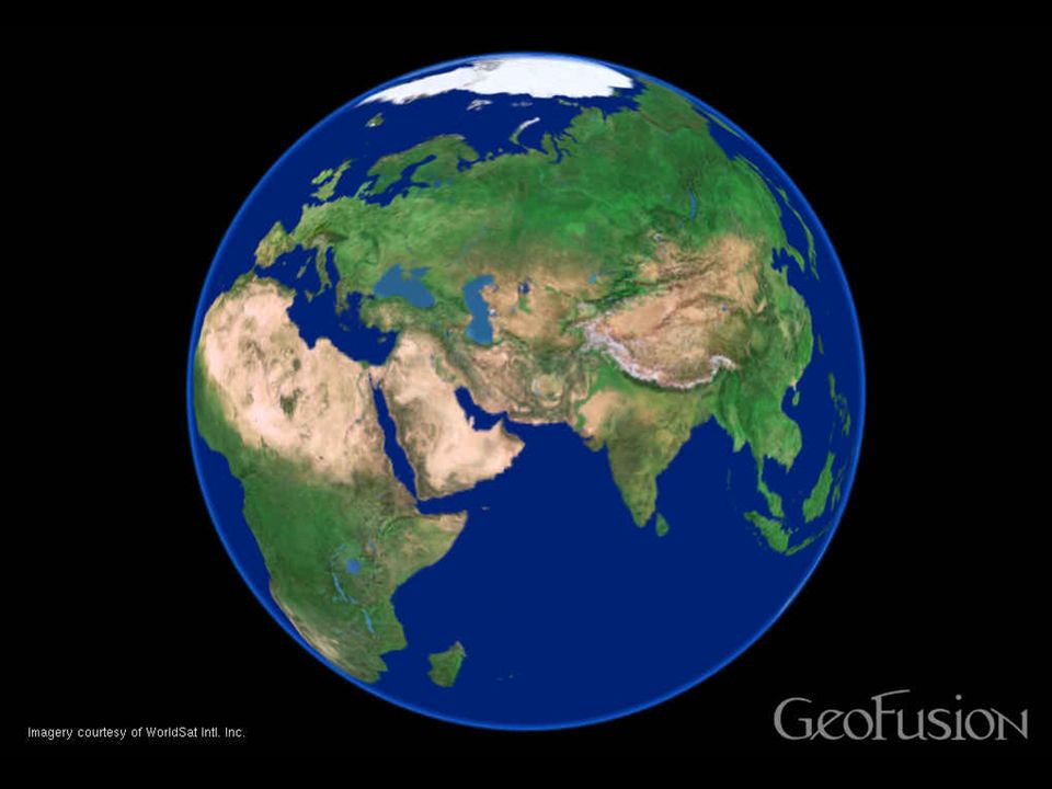
“Imagine, for example, a young child going to a Digital Earth exhibit at a local museum. After donning a head-mounted display, she sees Earth as it appears from space. Using a data glove, she zooms in, using higher and higher levels of resolution, to see continents, then regions, countries, cities, and finally individual houses, trees, and other natural and man-made objects. Having found an area of the planet she is interested in exploring, she takes the equivalent of a ‘magic carpet ride’ through a 3-D visualization of the terrain.”

5
Andrew Curtis, Department of Geography, Louisiana State University http://ncg.nuim.ie/ncg/events/20060125/

6
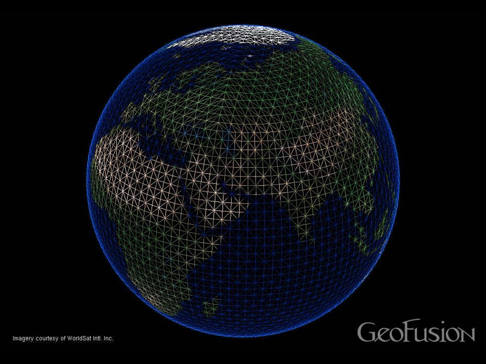
Major features n Internal data structure –hierarchical tesselation n Web transactions –the numbers –level-of-detail management –thick client –32MB graphics card n Layered n Oblique perspective, flyby n KML –programming interface

8
The quadtree n Recursive subdivision –variable depth depending on local detail 30 31 32 331 02 3

9
Grids on the globe n Impossible to tile a curved surface with squares n Five Platonic solids –tetrahedron: 4 triangles –cube: 6 squares –octahedron: 8 triangles –dodecahedron: 12 pentagons –icosahedron: 20 triangles

11
11 1213 10 Octahedron: 1 base 8 digit plus unlimited base 4 digits 0 1 23

12
Discrete global grid based on the Icosahedron (20 triangles, 1:4 recursive subdivision) Ross Heikes and David Randall, Colorado State University
 Ross Heikes and David Randall, Colorado State University")
13
Comparison of Criteria for the Assessment of Global Grids Criteria in Goodchild (1994) Criteria in Kimerling et al. (1999) (Goodchild's Numbers given in parentheses) 1. Each area contains one point Areal cells constitute a complete tiling of the globe, exhaustively covering the globe without overlapping. (3,7) 2. Areas are equal in size Areal cells have equal areas. This minimizes the confounding effects of area variation in analysis, and provides equal probabilities for sampling designs. (2) 3. Areas exhaustively cover the domainAreal cells have the same topology (same number of edges and vertices). (9, 14) 4. Areas are equal in shape Areal cells have the same shape. ideally a regular spherical polygon with edges that are great circles. (4) 5. Points form a hierarchy preserving some property for m < n points Areal cells are compact. (10) 6. Areas form a hierarchy preserving some property for m < n areas Edges of cells are straight in a projection. (8) 7. The domain is the globe (sphere, spheroid) The midpoint of an arc connecting two adjacent cells coincides with the midpoint of the edge between the two cells. 8. Edges of areas are straight on some projection The points and areal cells of the various resolution grids which constitute the grid system form a hierarchy which displays a high degree of regularity. (5,6) 9. Areas have the same number of edgesA single areal cell contains only one grid reference point.(1) 10. Areas are compactGrid reference points are maximally central within areal cells. (11) 11. Points are maximally central within areas Grid reference points are equidistant from their neighbors. (12) 12. Points are equidistant Grid reference points and areal cells display regularities and other properties which allow them to be addressed in an efficient manner. 13. Edges are areas of equal lengthThe grid system has a simple relationship to latitude and longitude. 14. Addresses of points and areas are regular and reflect other properties The grid system contains grids of any arbitrary defined spatial resolution. (5,6)
 (Goodchild s Numbers given in parentheses) 1. Each area contains one point Areal cells constitute a complete tiling of the globe, exhaustively covering the globe without overlapping. (3,7) 2. Areas are equal in size Areal cells have equal areas. This minimizes the confounding effects of area variation in analysis, and provides equal probabilities for sampling designs. (2) 3. Areas exhaustively cover the domainAreal cells have the same topology (same number of edges and vertices). (9, 14) 4. Areas are equal in shape Areal cells have the same shape. ideally a regular spherical polygon with edges that are great circles. (4) 5. Points form a hierarchy preserving some property for m < n points Areal cells are compact. (10) 6. Areas form a hierarchy preserving some property for m < n areas Edges of cells are straight in a projection. (8) 7. The domain is the globe (sphere, spheroid) The midpoint of an arc connecting two adjacent cells coincides with the midpoint of the edge between the two cells. 8. Edges of areas are straight on some projection The points and areal cells of the various resolution grids which constitute the grid system form a hierarchy which displays a high degree of regularity. (5,6) 9. Areas have the same number of edgesA single areal cell contains only one grid reference point.(1) 10. Areas are compactGrid reference points are maximally central within areal cells. (11) 11. Points are maximally central within areas Grid reference points are equidistant from their neighbors. (12) 12. Points are equidistant Grid reference points and areal cells display regularities and other properties which allow them to be addressed in an efficient manner. 13. Edges are areas of equal lengthThe grid system has a simple relationship to latitude and longitude. 14. Addresses of points and areas are regular and reflect other properties The grid system contains grids of any arbitrary defined spatial resolution. (5,6).")
16
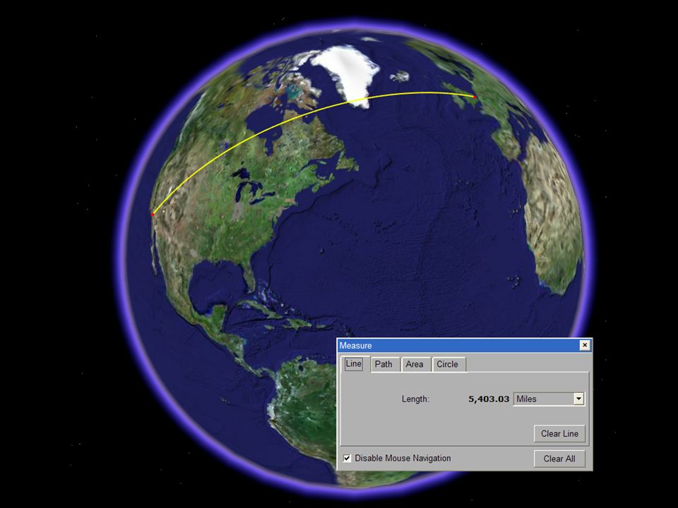
Is Digital Earth feasible? n 500,000,000 sq km –5 million at 10km resolution –500,000,000,000,000 at 1m resolution 500,000,000,000,000500,000,000 seconds138,888 hours69.4 working years

17
Transmitting Digital Earth n 1m resolution at T1 (order 10 megabits/sec) –69.4 working years n 1m resolution at 56k –done in 12,400 years n The Internet-killer
 –69.4 working years n 1m resolution at 56k –done in 12,400 years n The Internet-killer")
18
The LS ratio n Computer screen - 1000 n Digital camera - 1500 n Remotely sensed scene - 3000 n Paper map - 5000 n Dimensionless n Log 10 L/S in range 3-4 n Human eye - 10,000

19
What’s possible at 500 kbps? n 50 kbytes/sec n 10,000 new triangles/sec –1% of screen/sec at full resolution n 25 refreshes/sec –400 new triangles/refresh n Sufficient if: –resolution degraded in periphery –resolution degraded during flyby

20
Broader implications n GIS and the Flat Earth Society n Enabling extensions through KML n User interfaces and the Child of Ten n A standard structure

22
The Economist, May 17, 2003 The Economist, May 3, 2003

24
GIS and the Flat-Earth Society n The historic legacy –paper maps –rasters –local studies –algorithms use planar coordinates

25
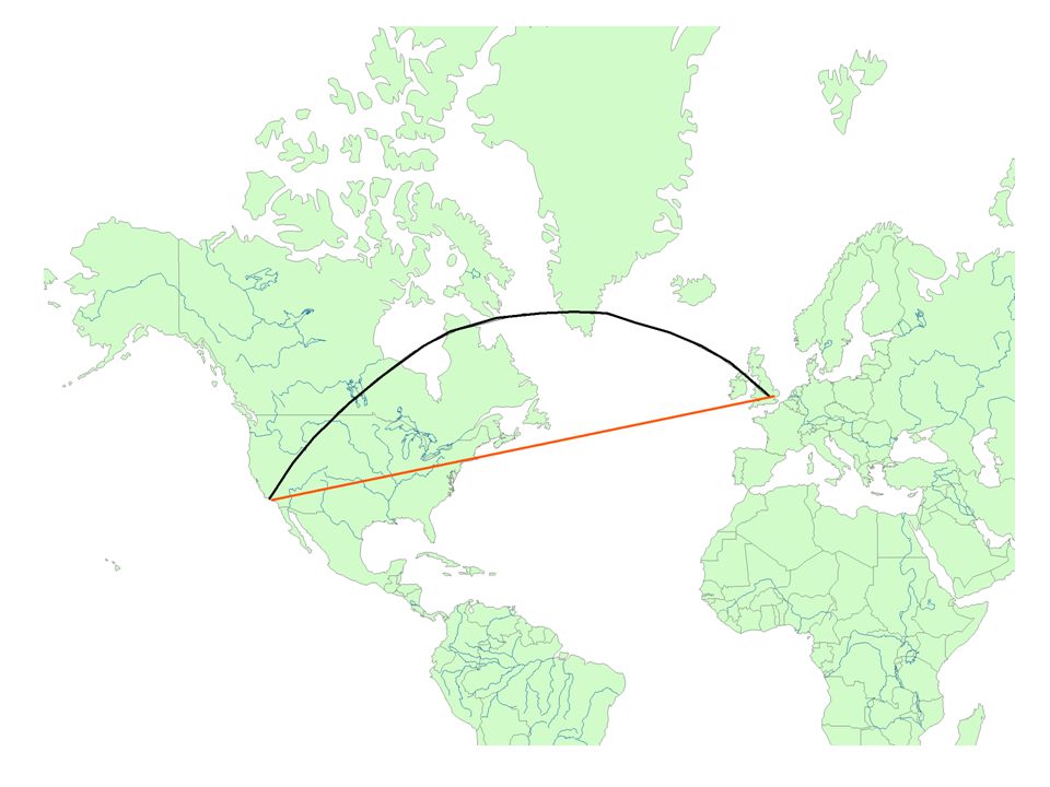
Two approaches to global GIS 1. Projected GIS back-projected to the sphere –inverting the projection equations –the Perspective Orthographic Projection 2. Doing the spherical (or ellipsoidal) geometry –no straight lines (only arcs of ellipses) –no lengths (only subtended arcs) –a new kind of computational geometry
 geometry –no straight lines (only arcs of ellipses) –no lengths (only subtended arcs) –a new kind of computational geometry.")
28
http://www.thesalmons.org/lynn/wh-greenwich.html

30
KML n Enables users to add value to Google Earth –objects to display based on lat/long –internal conversion to hierarchical structure –tapping the creative energy of humanity n A large community adding value –compare to the development staff of your favorite GIS n KML comparable to other open standards –underlying constant hierarchical structure –compare the Meridian Convention

31
The Child of Ten standard n Can a child do something useful with this in ten minutes? –compare video games –compare GIS n The Concert Pianist standard –confines tool to the expert n Google Earth is already known to more people than GIS

32
Challenges to the research community n Horizontal edgematching –the partial update problem n Vertical edgematching –on-the-fly rubber sheeting n User interface design –the video-game standard n Rendering the non-visual –beyond the camera metaphor

33
Challenges (2) n Interfacing global and local standards –the Second Law of Geography –geographic heterogeneity n Global data collection –the International Map of the World –remote sensing –a global spatial data infrastructure –ground-based sensor networks n Analysis and modeling –an ideal geo-visualization tool
 n Interfacing global and local standards –the Second Law of Geography –geographic heterogeneity n Global data collection –the International Map of the World –remote sensing –a global spatial data infrastructure –ground-based sensor networks n Analysis and modeling –an ideal geo-visualization tool")
34
Challenges (3) n A one-stop shop for the planet –thematic priorities –harvesting methods –ontological issues –alphabets, diacriticals n A global gazetteer –vernacular entries –from 10 7 to 10 8 to 10 9 n Geobrowsers –organizing Web searches geographically
 n A one-stop shop for the planet –thematic priorities –harvesting methods –ontological issues –alphabets, diacriticals n A global gazetteer –vernacular entries –from 10 7 to 10 8 to 10 9 n Geobrowsers –organizing Web searches geographically")
35
Conclusions n Close to Gore’s vision n Better at spherical functions than GIS n Potential to extend spatial science to a much larger community –of social scientists –of developers and adders of value –of users –of students n Extensive challenges for the spatial sciences

Similar presentations


 be a point. We want to estimate an elevation at a point q: 1. should.>")


